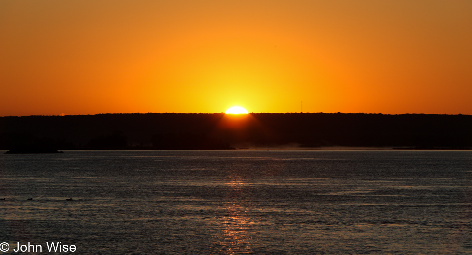
Staying at the edge of the water demanded we wake before sunrise to see our star rise over Saint Mary River. Regarding the city we stayed in called Sault Ste. Marie, notice that we are on the Saint Marie (Mary) River, and the Sault part of the name is from an obsolete word that is used to describe rapids. [I’m going to go out on a limb and say that it is related to the English word somersault – Caroline] It was those rapids between Lake Superior and Lake Huron that necessitated the locks that were built here.
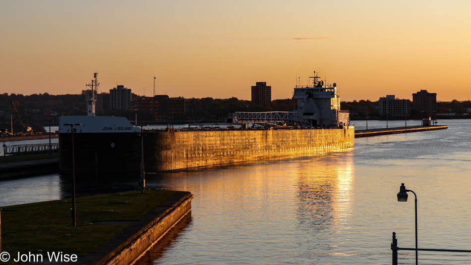
A timelapse video would probably best depict the action of one of these massive ships passing through the locks, but I’m shooting photos, and this ship in the early sunlight will have to suffice.
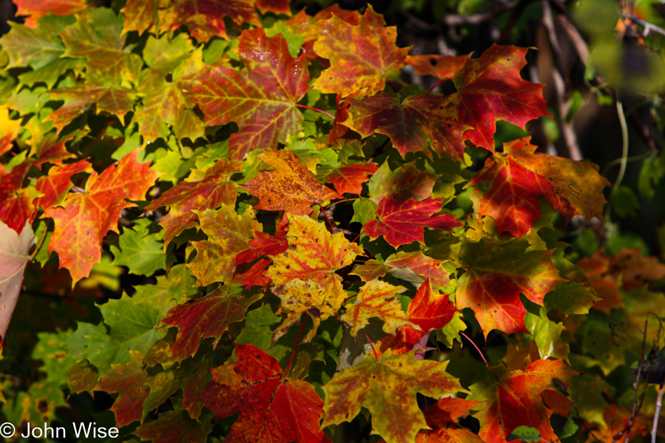
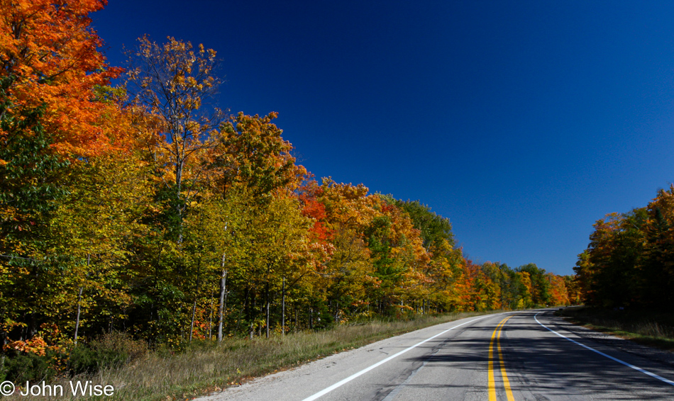
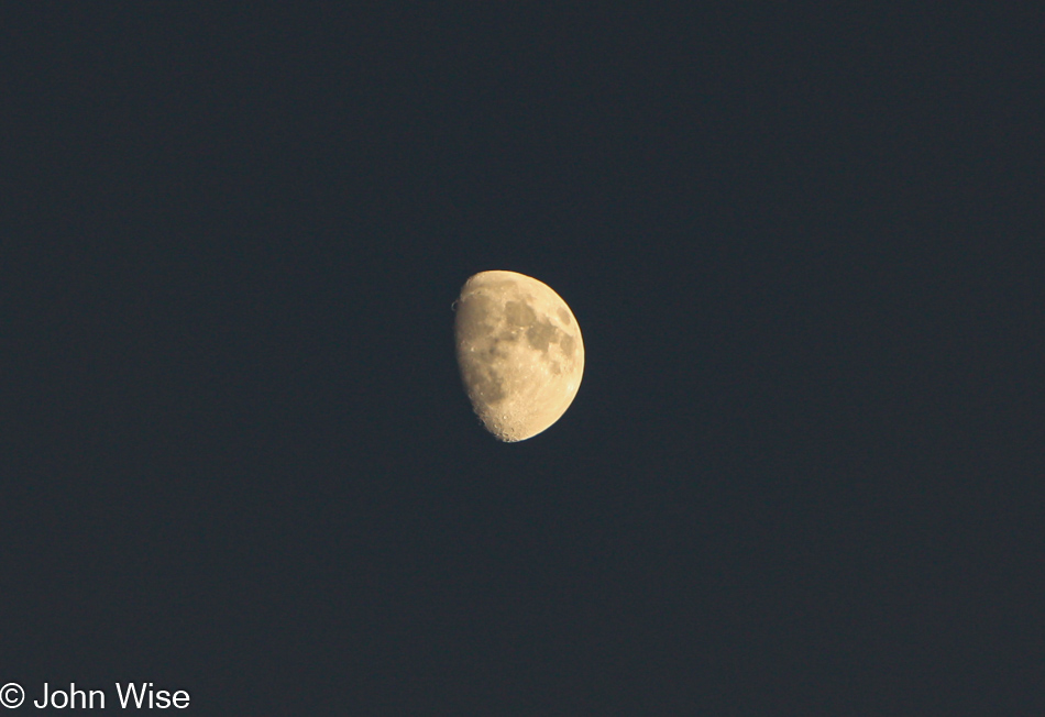
Oh yeah, we are still leaf-peeping.
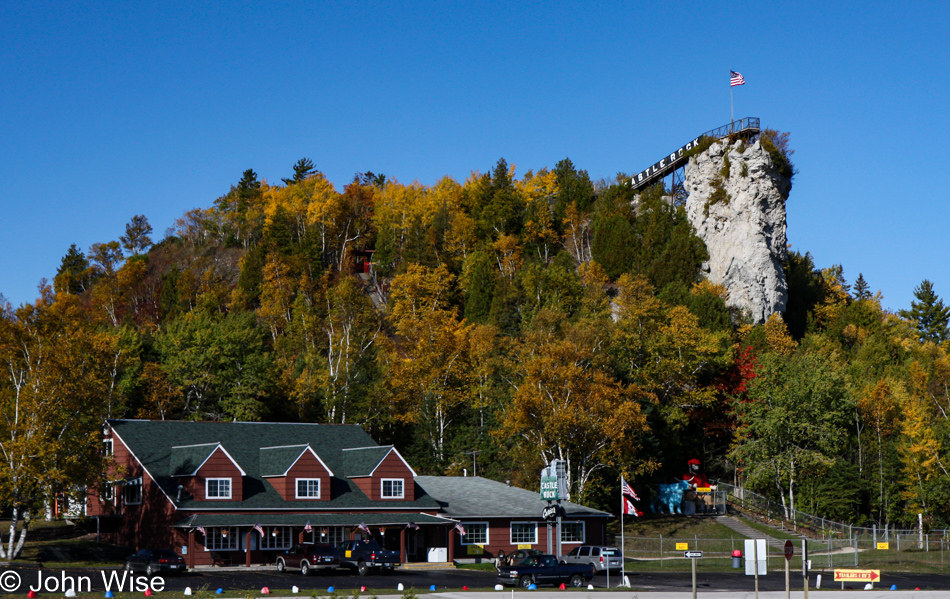
We pulled over near St. Ignace at the lower end of the eastern Upper Peninsula to look up at this strange rock outcropping called Castle Rock that is now used as an observation point to look out over Lake Huron. We’ll have to make a note of it and move on.
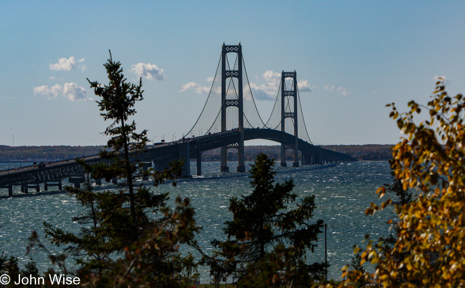
We are about to cross the Mackinac Bridge, which is currently the third-longest suspension bridge in the world. At home, looking at my photos taken that day from the Father Marquette National Memorial, I was perplexed as to why the bridge looked so short compared to the photo of the same bridge, two images below. I finally figured out that I had used my 70-200mm lens to shoot this photo at 140mm, which shrunk the space between the foreground and background. Just wait till you see how long it really is.
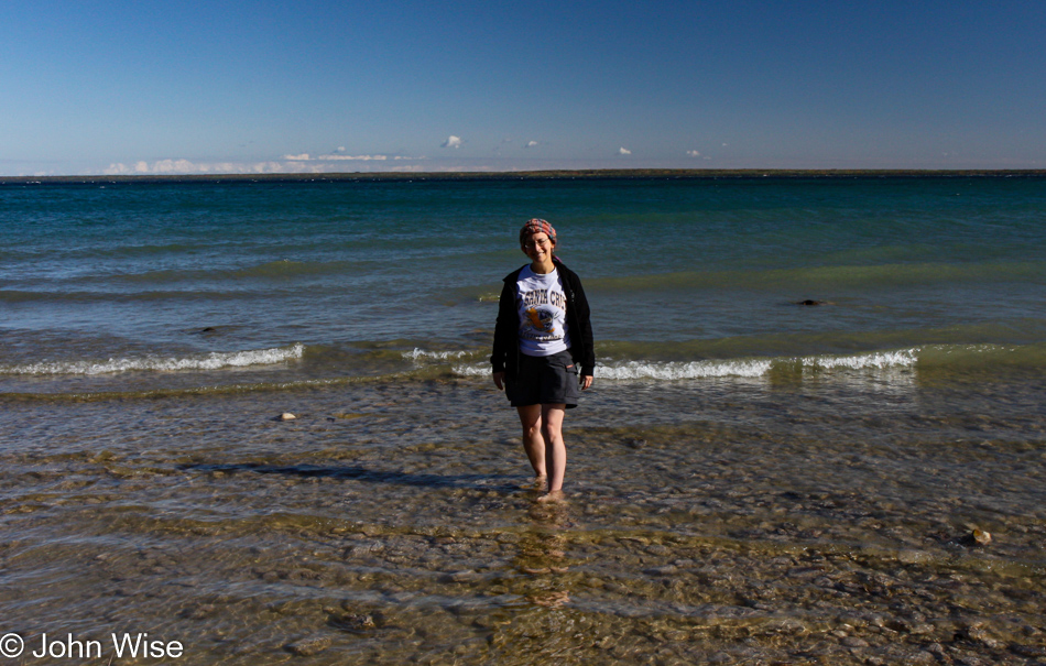
We turned eastward to follow the Lake Huron lakeshore. Caroline once more shed her shoes and lept into the water, or maybe she just gently strode in? With Lake Huron in the bag, so to say, we have now visited all of the Great Lakes and the Saint Lawrence Seaway. To Caroline’s bragging rights, she has stood in the waters of the Great Lakes, the Pacific, the Atlantic, and the Gulf; rivers include the Colorado, Little Colorado, Snake, Mississippi, Columbia, Yellowstone, Ohio, Klamath, Missouri, Rogue, St. Croix, the Animas and many a smaller but no less significant waterway across America.
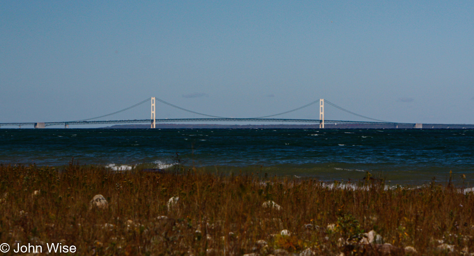
That bridge that looked a bit short is actually 26,372 feet long, or just a hair shy of 5 miles! From this spot on the lake, we headed 20 miles southeast to Cheboygan before turning west to reach the west side of the state.
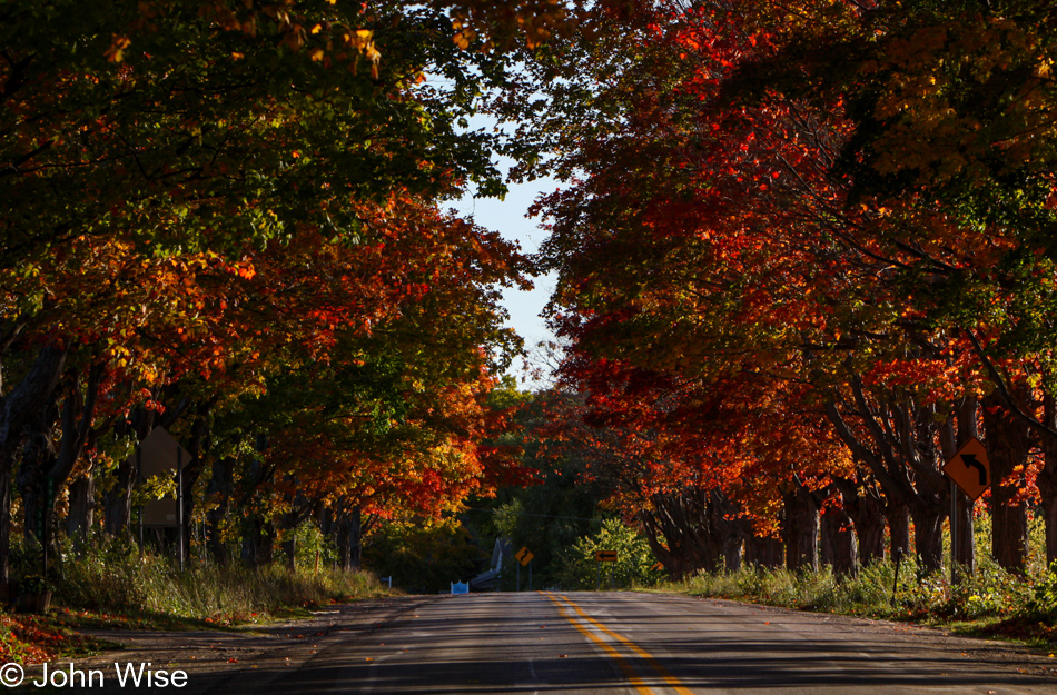
Going through Google’s Streetview, these streets look like any other streets but bordered with these bursts of color, the roads take on wholly new qualities that propel the views into something extraordinary.
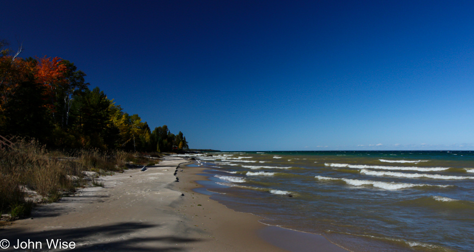
Over on the western side of the state, we are back at the shore of Lake Superior.
We are moving south with an objective referenced in the title of this blog. Along the way, we’ll be passing some beautiful towns, ones I stopped at with my mother a few years before. As I’ve not recovered from that trauma yet, and I desire this trip to be uniquely Caroline’s and mine, we are bypassing Petoskey, Charlevoix, and Traverse City in order to take in more nature.
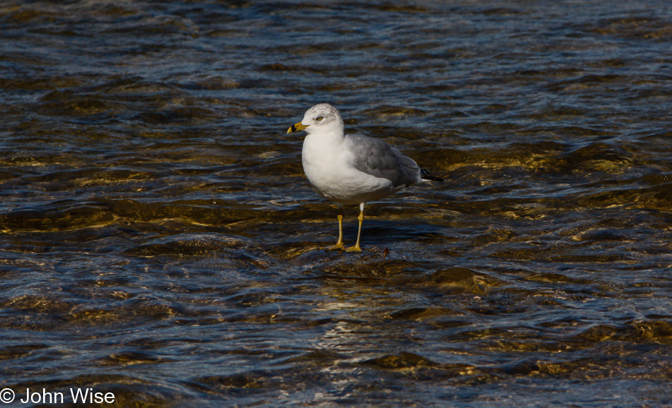
Witness this humble seagull of Charlevoix that is nothing at all like the intolerable snobs found in town. Contrary to the elitists that pollute the nearby intellectual and cultural waters of a beautiful space, this lowly seagull adds to the sense of wildness, and while it might shit on us, it isn’t an intentional act committed in the yawning ignorance of someone who fashions themselves as better than others due to their fortunate economic perch.

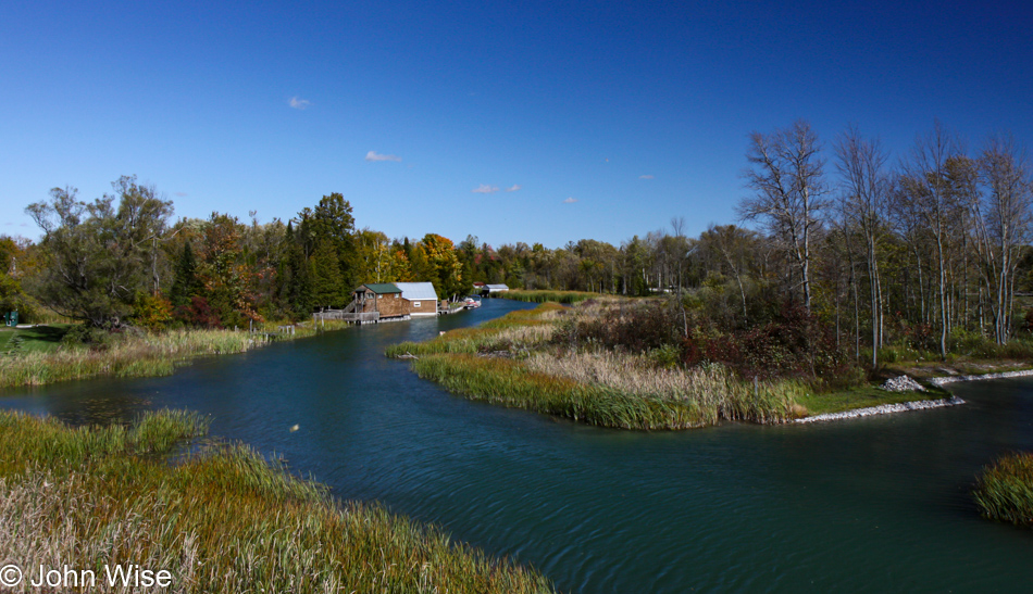
Driving next to Grand Traverse Bay.
Passing through Maple City.
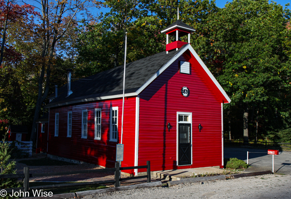
This former one-room schoolhouse, built in 1871, must be one of the most photographed buildings in this part of Michigan. It is now a private residence.
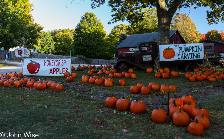
This little outpost near Maple City is called Michigan Traders, and for the fall season, they are hosting The Ugly Tomato Farm Market; if Caroline’s memory is correct, which it often is, this is the first place we ever tried the famous Honeycrisp apple.
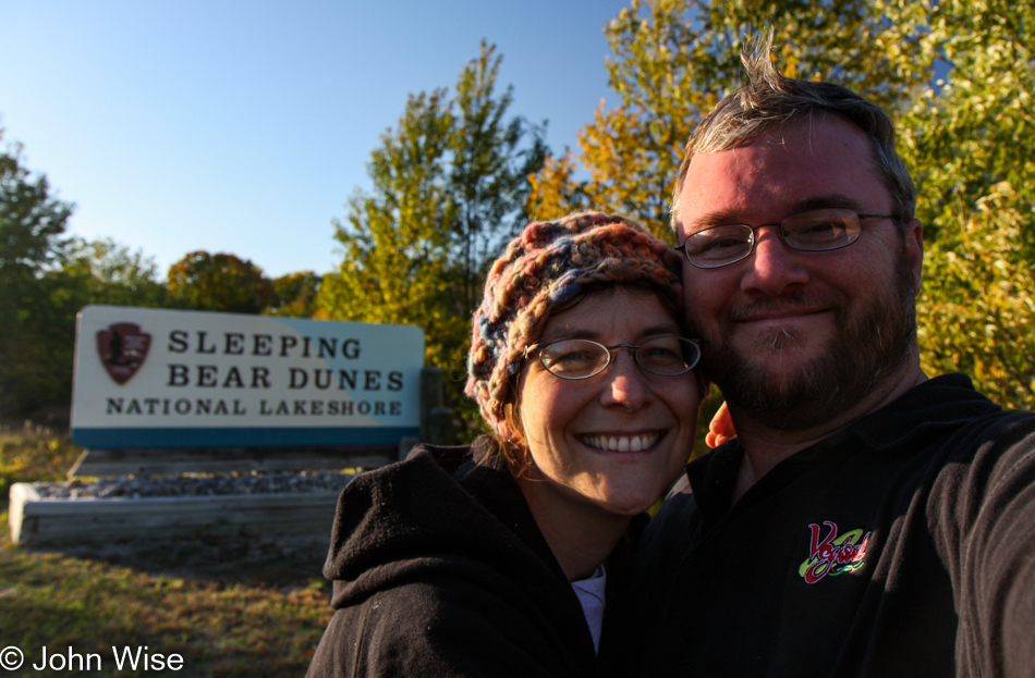
Just out of Maple City in the direction of Glen Arbor is another opportunity for us to use our coveted National Park Pass, the Sleeping Bear Dunes National Lakeshore.
It’s already late in the day upon our arrival, meaning exhibits and the visitor center are already closed for the day, no matter, as at least we’ll gather some impressions of the park anyway.
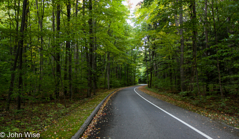
We meander along the narrow roads, waiting for the sand dunes to make an appearance.
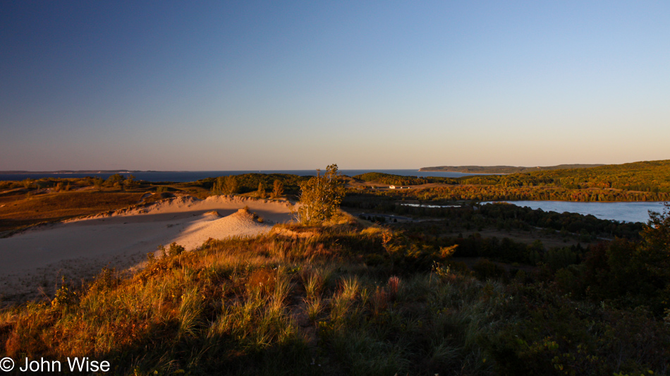
And here they are starting to emerge near the water’s edge.
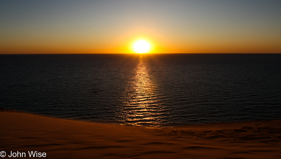
In the eight years since we began these haphazard journies through America, we have never failed to be amazed at the sights and people we have met along the way. I can no longer tell you how many times we have sat at a precipice, hillside, forest, sand dune, trail, or roadway and watched yet another golden sunset fill us with oohs and aahs.
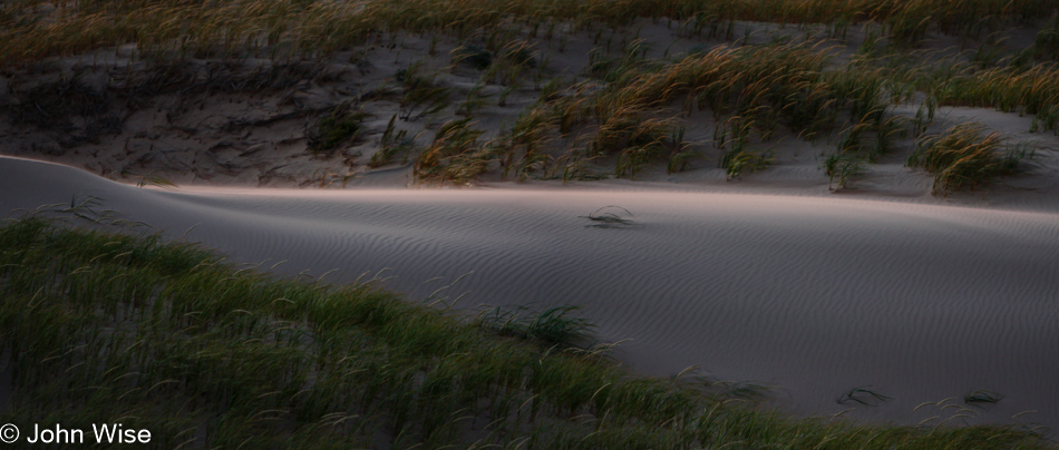
Just moments after I had taken the previous photo, we walked towards another vantage point. What you could not see in the setting sun was that the wind was howling. If you look at the grass here, you will see it blowing to the right, and the white fuzziness over the bright spot is a thin layer of blowing sand.
In the little town of Honor, Michigan, across from Long Lake, we pulled up a couple of seats at the Manitou restaurant before driving a few more miles south to stay in Frankfort…you know, like Frankfurt?