Incomprehensible Beauty

Devils River off Highway 163 in West Texas

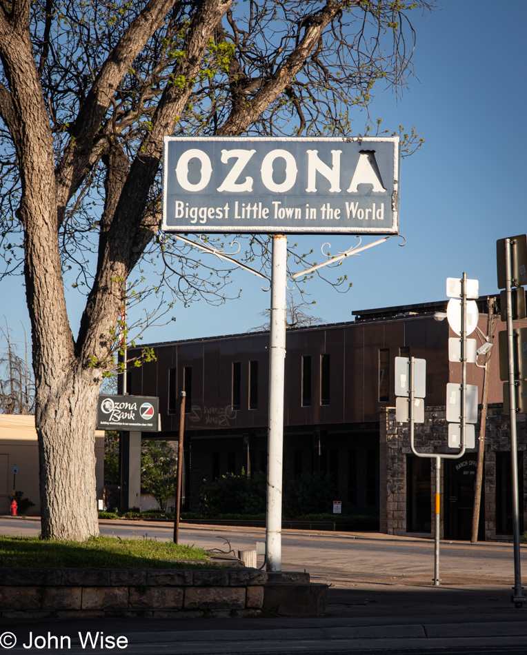
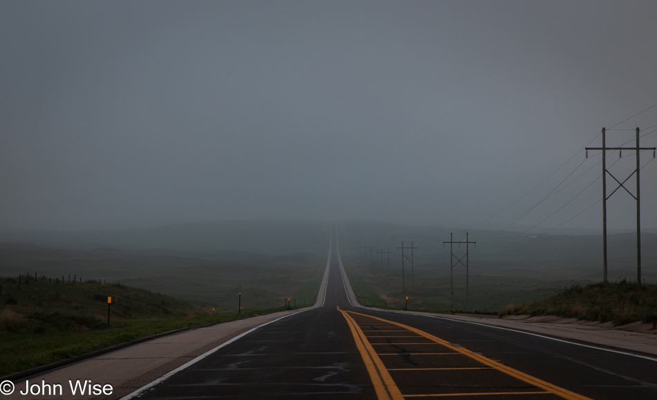
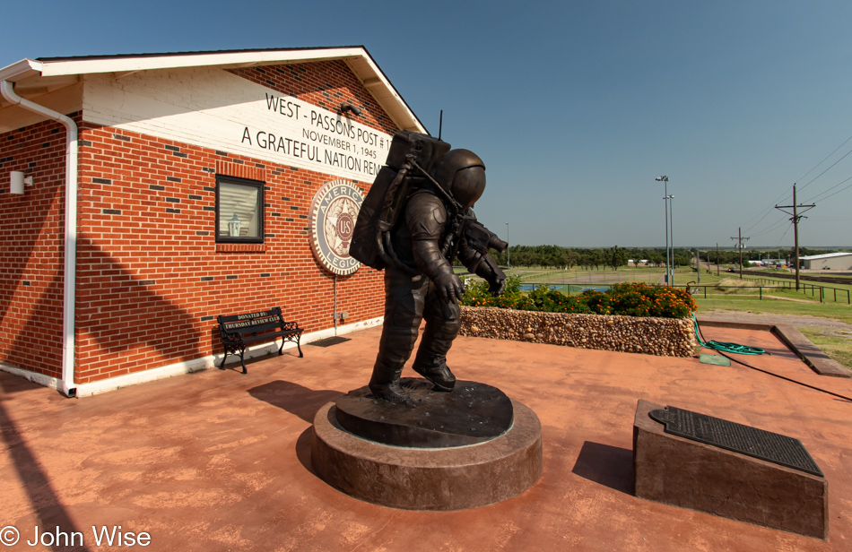
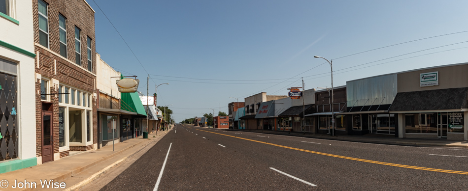
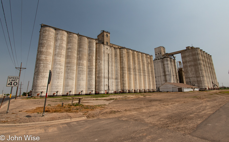
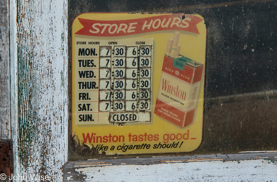
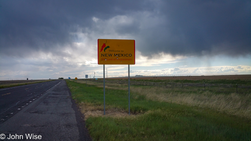
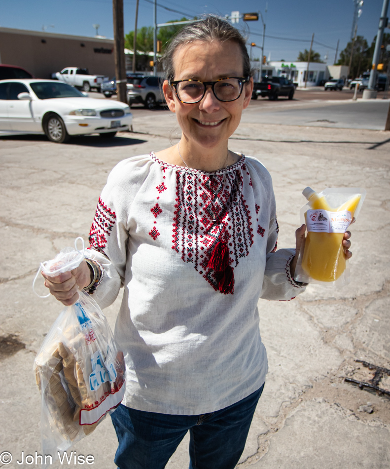
Well before dawn, we left our motel and stopped at a gas station for a coffee, as that’s what there was for coffee in Ozona, Texas. This, though, was a fortuitous moment as we found a lucky penny we would come to be certain changed our day. The idea behind our early departure was to beat the horde we were sure would trek south into the Del Rio, Brackettville, and Uvalde areas. Well, here we are on our way south, and the horde has not materialized. Maybe the poor weather forecast kiboshed the plans of some of those 42 million people who were expected to venture out for this full eclipse that is the last one visible over the U.S. for the next 26 years.

Highway 163 in West Texas

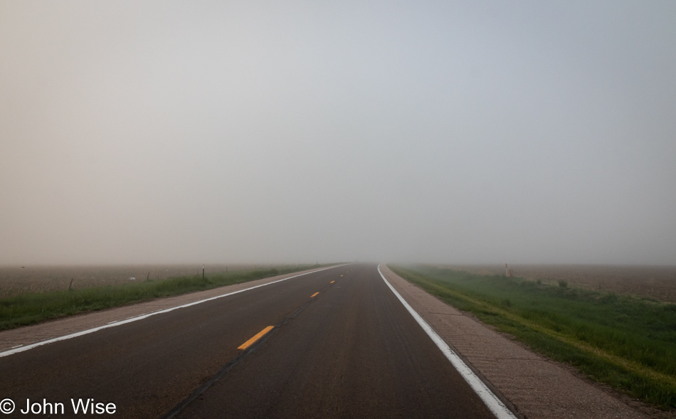
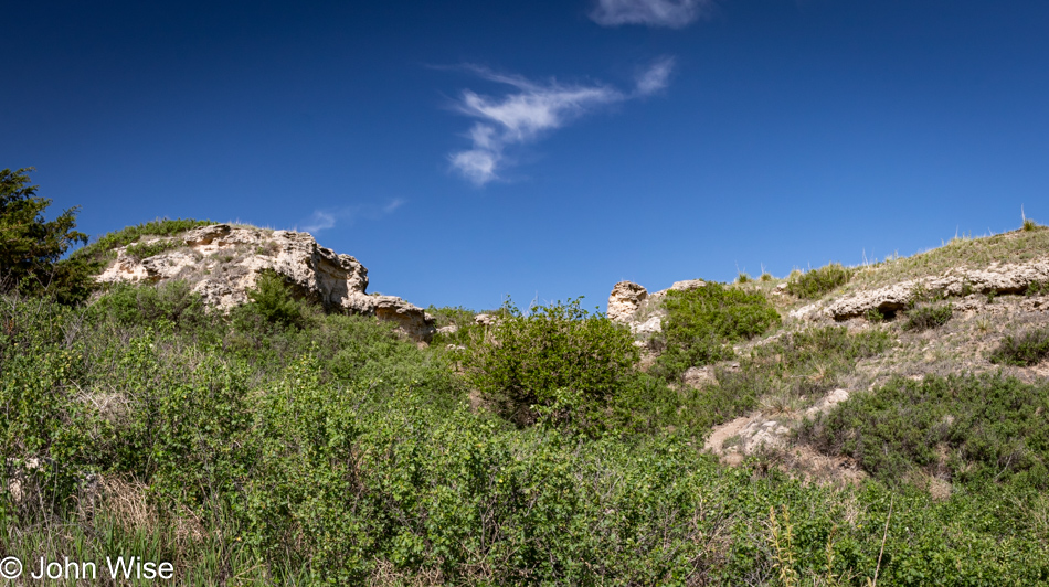
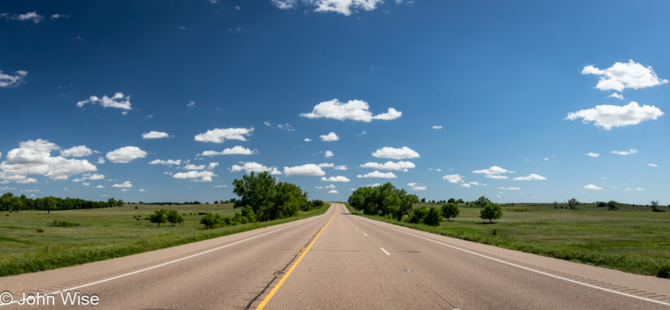
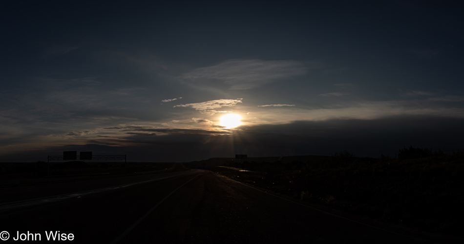
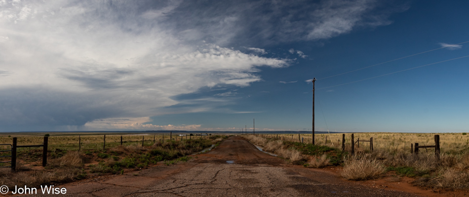
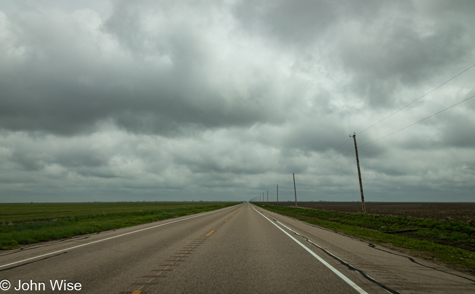
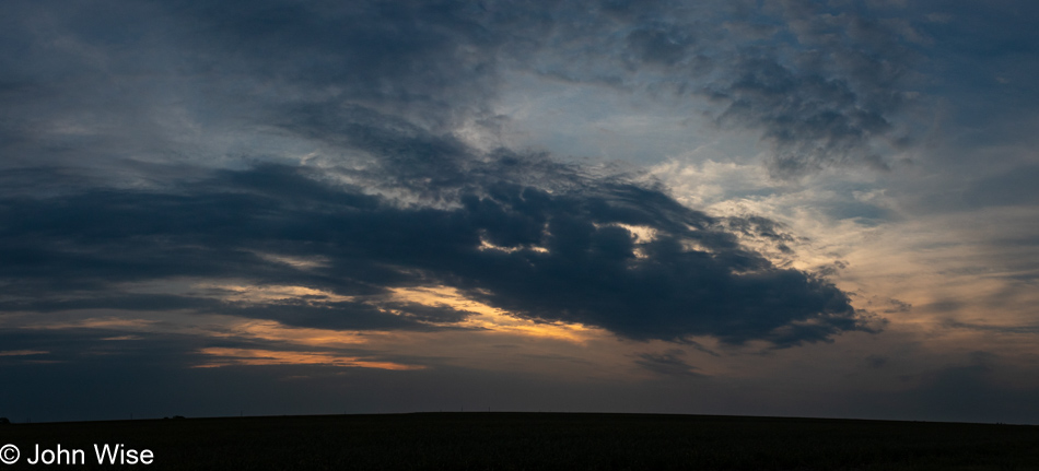
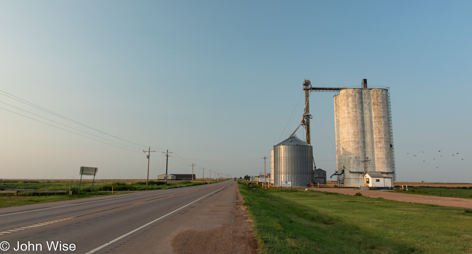
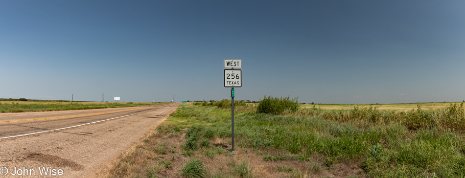
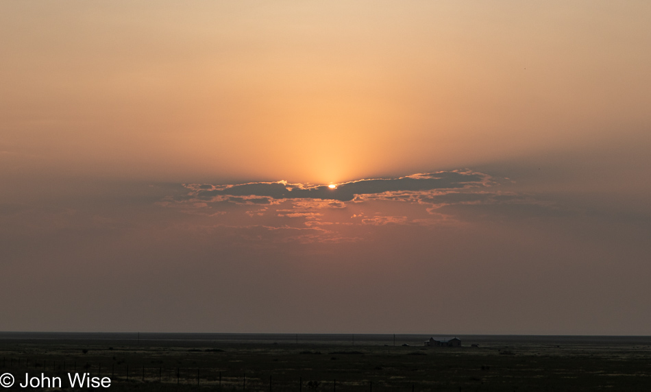
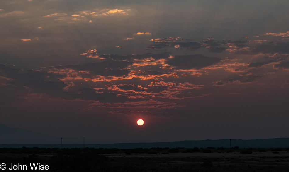
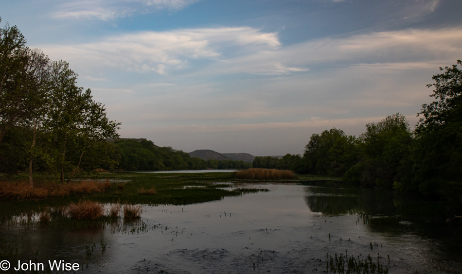
A couple of hours later, we arrived at a coffee shop in Del Rio, Texas, less than five miles from Ciudad Acuña, Mexico, and about two hours from the start of the solar eclipse. We’ve driven 887 miles (1,427km) across the deserts of Arizona, New Mexico, and Texas to be here only to arrive under a seriously overcast sky with weather reports warning of severe storms in the area later today. Obviously, the sky in the photo here is not overcast, it was taken while still driving south to Del Rio.

With nothing else to do, we took up a perch at a table, with me busy playing the roles of both cantankerous Muppets Waldorf and Statler. Per my normal mode of operation, I’m grading my fellow human beings. Exactly how well they fit into that narrow definition regarding human characteristics is up for debate. First point of observation: the women here have not mastered the art of skin-tight booty shorts/leggings: you should either rock them commando-style or wear a thong because lechers such as myself do not want to see your panty lines digging deep into the girths you are shoving into your second skin. Next point, desert-sand-tan leather boots of one sort or other appear to be de rigueur for Texans unless you are a visitor from Florida, in which case you wear sandals. Californians appear to prefer running shoes.

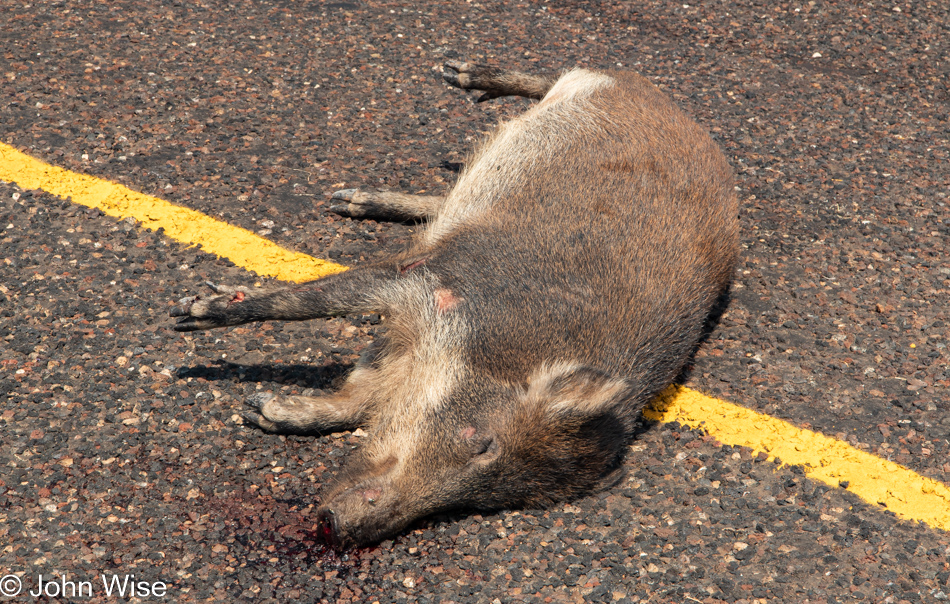
There is certainly a nice diversity out here in West Texas and not a single person practicing their right to open-carry a weapon. Speaking of weapons, I’d briefly considered a side trip to Uvalde for some morbid tourism, but with nearly 900 miles ahead of us as soon as the totality passes, we’ll need to hit speeds approaching 150 miles per hour (240 km/h) if we are to make it back to Phoenix this evening before 9:00. Pardon me, not being in Germany, Google is estimating that we’ll need almost 14 hours to get home, leaving no time to take in a mass shooting site.

Caroline Wise and John Wise at Amistad Reservoir in Del Rio, Texas

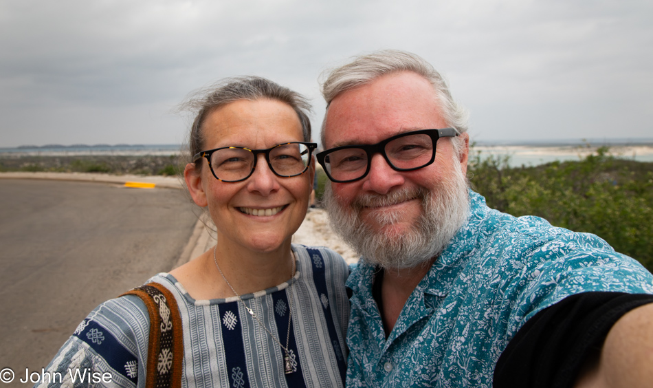
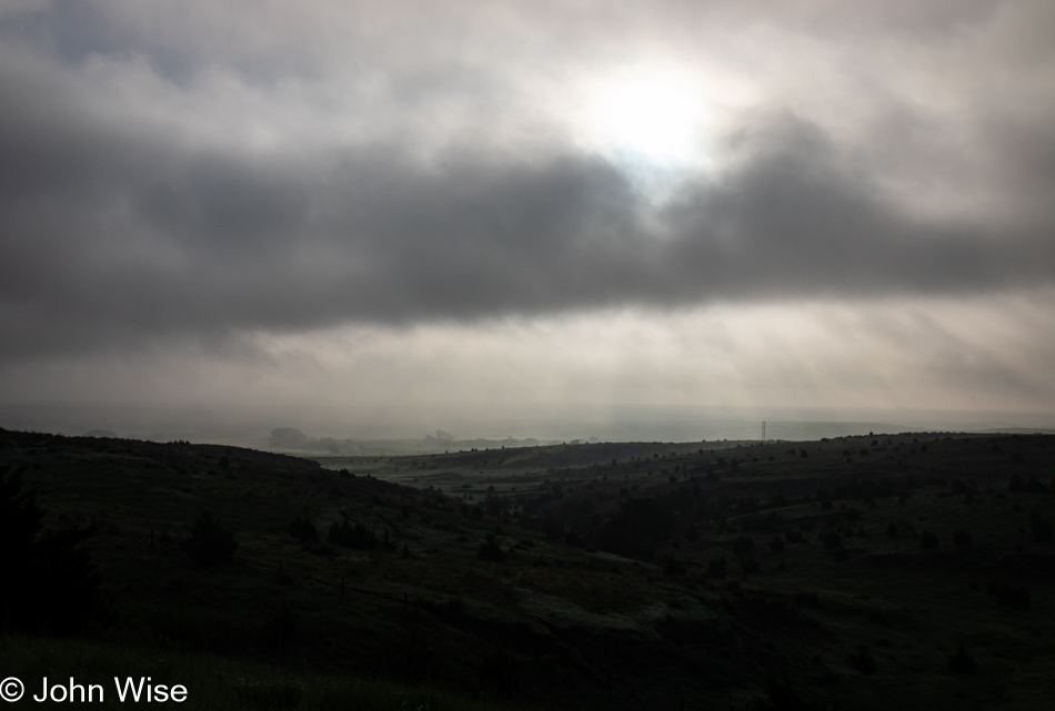
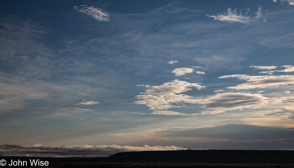
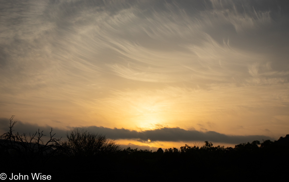
Note the overcast sky behind us here at the Amistad National Recreation Area that was chosen as our viewing spot for the totality because it’s just a little west of Del Rio and significantly further west of Bracketville, our original destination. The weather forecast showed that there was going to be some breaking up of the storm clouds starting in the west, and as long we were still in the path of the totality, we figured it was better to be happy with a little more than two minutes of the full eclipse rather than risk seeing none of it. As for the selfie, I was supposed to share one of us during the eclipse, in the dark, but it turned out that having been rendered into blubbering crying babies by the sun in eclipse, or was it the shadow of the moon, that teary-eyed image I shot is not fit for posting here if I want to maintain my illusion of manhood.

Caroline Wise at Amistad Reservoir in Del Rio, Texas

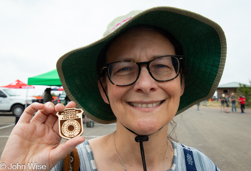
How lucky was our misfortune of having our destination shift at the last minute? By coming to the Diablo East section of the Amistad Reservoir, the park service was on hand to inform the public and help them see the eclipse, but it was this special Eclipse Explorer Junior Ranger badge that made everything worth it. Even had we never seen the sun itself, just adding such a rare badge to the collection would have meant the world to Caroline.

Eclipse as seen from Del Rio, Texas

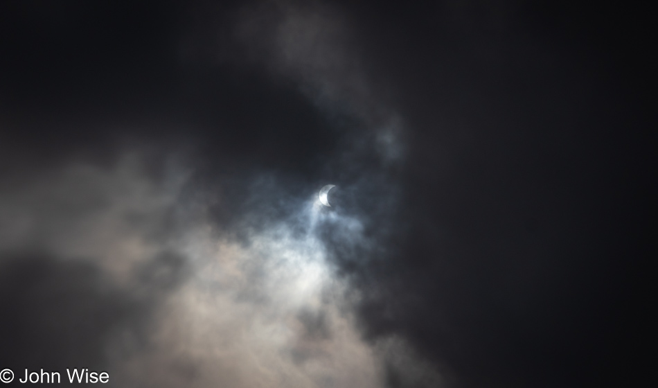
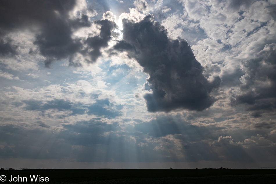
It was about 12:15, when we noticed the moon starting to creep over the sun for the first time. The clouds were streaming overhead, and while this might look bleak, the photos I took with my DSLR without any filtering were turning out better with some cloud cover than those with clearer skies. Because I left Arizona with the idea that taking photos of the eclipse was the thing I was least interested in, I had not brought my 70-200mm lens, ND filter, and tripod so I could better focus on the matter at hand rather than witnessing it through my camera.

Eclipse as seen from Del Rio, Texas

With more than an hour between the start of the eclipse and totality, I had plenty of time to get a shot here and there, many shots actually, though most have ended up in the digital dustbin of history, never to be seen again. By this time, the excitement from the adjoining parking area, where the majority of star chasers were positioned, was palpable, with cheers going up every few minutes as the moon crept closer to blotting out the light of the giant hot disk in the sky.

Eclipse as seen from Del Rio, Texas

Something unexpected happened on the way to falling under the full shadow of the moon, known as the totality; as the moon moved into position, the gravitational disturbance of some deep-seated primordial senses lingering in our bones punched the two of us, doubling us over in a stream of tears. Nothing bad, mind you; it wasn’t that we were seeing God and the second coming of his son ignoring our presence as if to notify us that we’d be dwelling in hell, nope, nothing like that. We were seriously overwhelmed by the incomprehensible beauty of watching the living prominence of the sun pulse and breathe in a manner never previously witnessed by either of us.

Eclipse as seen from Del Rio, Texas

Not having been prepared for the gargantuan emotional outpouring that seized us, all of a sudden, I was gripped by the wish to have the most exquisite record of this event so I might better reference the images and always remember where the universe took me today. As desperately as I desired a perfect artifact of this solar phenomenon, my senses never stopped telling me to focus on looking at the totality as I will likely never have the opportunity again to stare at the sun without filtered glasses and not damage my eyesight or go blind.

While staring at this incredible sight, one has to remember to also look around as it truly became dark all around us, so dark in fact that the lights of the parking lot had turned on. The orange glow on the horizon was also a sight to see, and while I tried taking photos of that beautiful view, the settings on my camera were set for taking pictures of the sun, and I couldn’t figure out how to change anything while enraptured in the state of weeping ecstasy I was gripped by. Take note, I wasn’t alone in this emotional outpouring; maybe we were even triggering each other to cry harder as we felt the others’ empathy and understanding of such a momentous event.

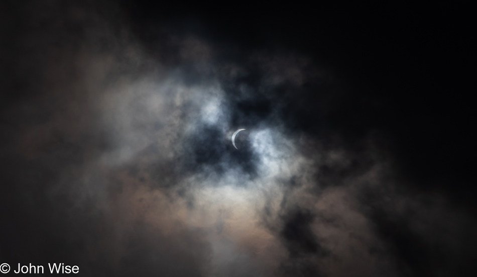
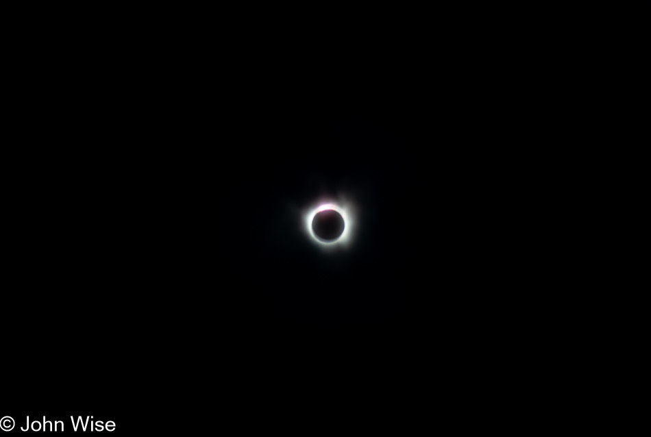
There were two moments of feeling that it couldn’t get any better: the first was at the beginning, when a seriously heavy amount of clouds moved in to block all sight of the eclipse and we thought we’d seen all of the totality we’d be afforded. Satisfied, we started looking around again at the general area until a roar went up from the large group that drew our attention back to the sun. The impenetrable cloud cover must have exploded because the sky was as clear as anyone could have dreamed of, we saw stars in the distance in the middle of the day.

Eclipse as seen from Del Rio, Texas

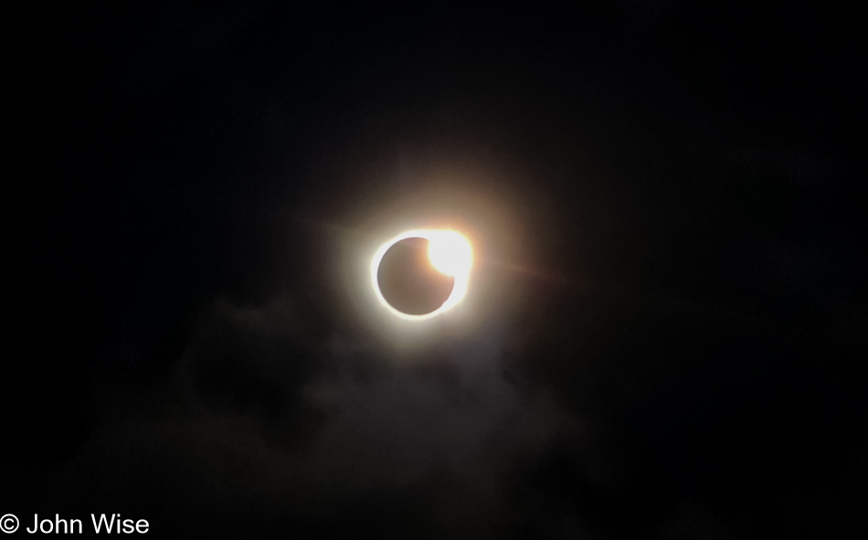
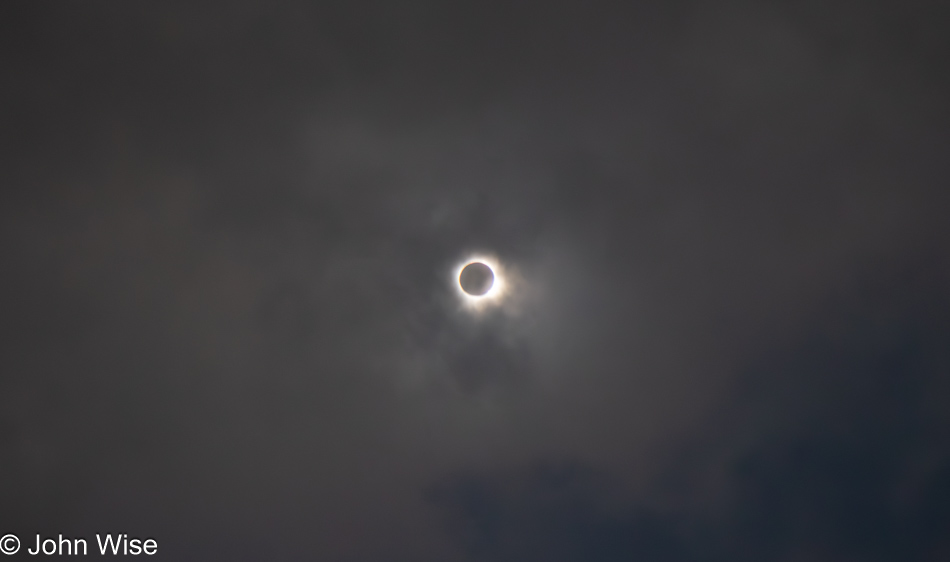
The next moment of ultimate wow was the fabled diamond ring which I only barely captured here with my phone. This image does zero justice to what was seen with the naked eye. At this point, there was a kind of threat of madness that should we stare any longer into the absolutely ecstatic image of what was playing out in the sky, we’d simply have to dissolve from the intensity of it all. To say we were shaken would be an understatement. Never before in all of our travels, both geographically and psychedelically influenced, have either of us been taken to such an emotionally giddy place of euphoria. A week later, while writing these words, I can still feel the sting of my eyes as I recollect the fervor of sensations coursing through my heart and mind, struggling to make sense of such a rarity of experience.

Looking north from Interstate 10 east of El Paso, Texas

For 3 minutes and 28 seconds, Caroline and I were lost under the eclipse, hardly able to think, reduced to nothing but feeling. We left the area about 10 minutes after the totality with tears still threatening to spill from eyes full of the immensity of that incomprehensible beauty, and for the next 45 minutes driving up the road, the knot in our throat remained ever-present. In hindsight, it could have only worked out this fortunately because of that lucky penny found at the start of our day. As for the rest of the day, nothing else mattered.

The Incredibly Monotonous Permian Basin

North of Alpine, Texas

Leaving the hills and canyons of the Alpine, Texas, area for a drive north, we were soon entering the Permian Basin. Maybe we were always in the basin as it stretches in all directions for a total of 86,000 square miles or 250 miles (400 km) wide and 300 miles (480 km) long. Our path is being dictated by roads not previously travelled by us that we had tried to identify by looking at a very low-res image of our Map of America shared here on the blog in 2018. After we get home from this trip, I’ll be posting an updated map of the roads we’ve driven over that includes last year’s trip up the middle of the U.S. and the roads we’ll travel today.

Buzzard seen north of Alpine, Texas

After passing by this “ornamental sculpture,” we needed to turn around to determine if we’d seen what we thought we had. Pulling up after a quick U-turn, the buzzard had pulled its wings in but once again threw them back out. Obviously, it was not a sculpture. A buzzard buddy was also perched nearby, warming his wings in the sun, but I couldn’t fit the two in a single shot, nor could I capture a more detailed image as lazily I had taken only a single lens with us on this trip. As a matter of fact, I didn’t bring my tripod either, which will hurt my ability to take pictures of the main reason we are on this trip; more about that tomorrow.

Proud of oppresion in rural Texas

Is that three bullet holes that have chipped into the historical marker that’s making me hysterical? This sign from 1936 celebrates the clearing of Indians and bandits back when the “country” was being cleared of those scourges. The land didn’t need clearing if it wasn’t for the invading hordes that wanted an abundance of free lands that those pesky Indians didn’t hold a title to. Maybe I’m just too woke, but I find it an affront and demeaning to Indigenous Americans to equate them with bandits and the suggestion that they needed to be pushed away in any case.

Highway 17 south of Pecos, Texas

The area we were out traversing from about Saragosa, Texas, to Hobbs, New Mexico, is home to the incredibly monotonous landscape that is nothing but dirt, oil and gas wells, and sellers of brine. Brine is a salt solution used by the mining industry; we had to look that up. This is pretty much what everything looks like in the Permian Basin.

La Norteña Tamales in Pecos, Texas

This was a coup that only happened due to the demands of the bladder. After stopping at a gas station here in Pecos, Texas, Caroline was admiring a sign next door and said she wanted to take a photo of it. Often, when I hear that, I’ll also move to take the same image using my DSLR, should her sense of the aesthetic have been correct, and later, I regret not having taken the same photo with a better-quality camera. Good thing I did because after taking this, I wandered to the front of the building believing that La Norteña Tamale Factory was closed due to the open sign being off in the drive-thru, but sure enough, they were open. I ordered a couple of tamales for each of us, one green chili chicken tamale and the other a spicy red beef. Back on the road heading north, we shared one of the green chili tamales and immediately turned around to return to the shop.

Caroline Wise at La Norteña Tamales in Pecos, Texas

We did not go back to register a complaint; we were not unhappy. On the contrary, we were ecstatic that a $2 tamale should be so amazingly perfect. That’s right, perfect. Our return was to collect a dozen of the green chili chicken and a dozen of the Hatch chile “Rajas” tamales, along with a packet of spicy peach ring candies by Nooshka’s Candies. Beaming with enthusiasm and exclaiming our delight, the owner came out of the kitchen to thank us and explained that the quality of everything they offer is due to the efforts of the amazing staff. Before we left, he generously gifted us with a melon/mango aqua fresca. Good thing we brought the ice chest with us on this trip.

Oilfield near Jal, New Mexico
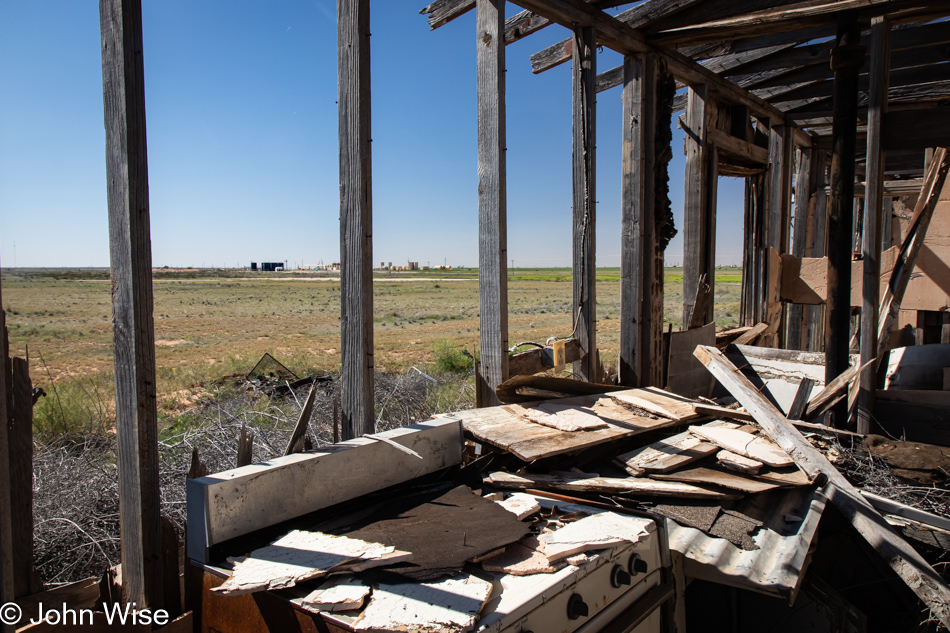
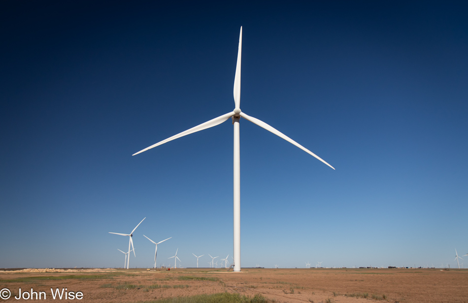
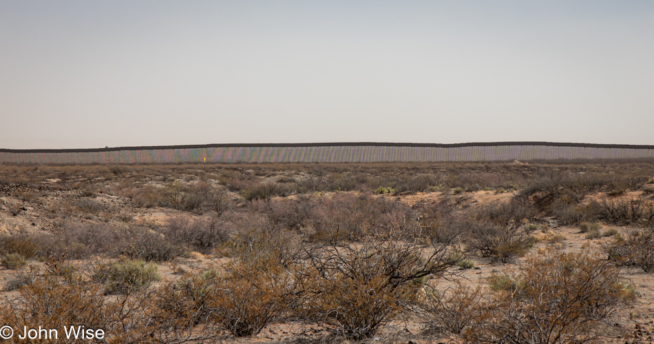
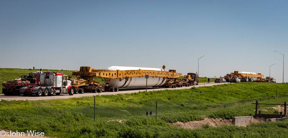
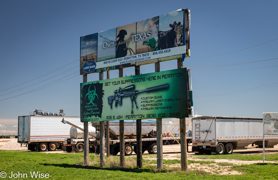
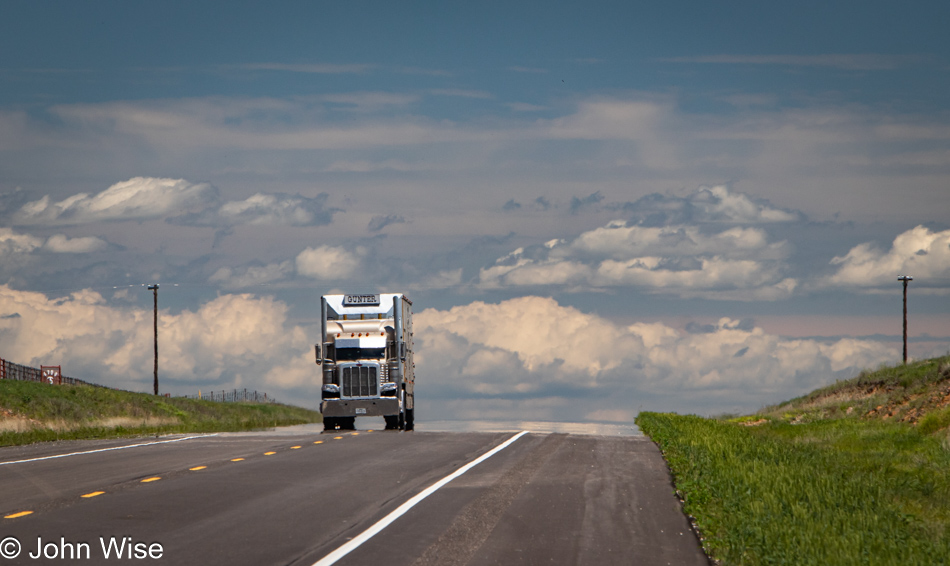
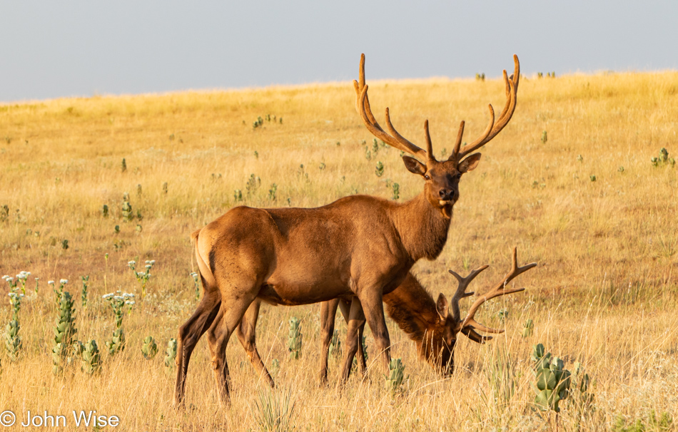
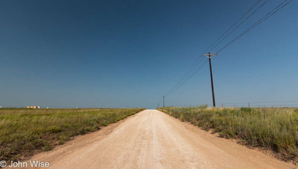
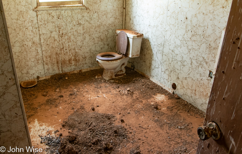
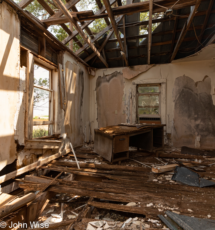
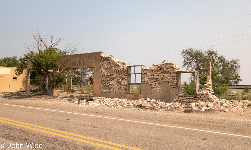
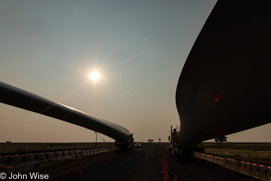
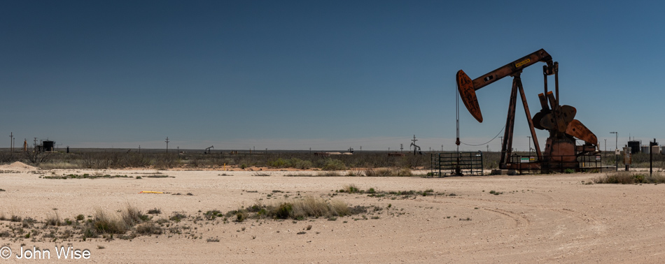
Farther along the road, the smell of gas permeated the area on occasion while we also drove through wafting invisible clouds of more fragrant petroleum. At least petroleum is somewhat interesting smelling, whereas gas is anything but. The eye sees sand, low bushes, discarded and unused equipment, and 10,000 pickup trucks interspersed between countless tankers and various other semi-vehicles, pulling and pushing every manner of equipment across the otherwise barren land.
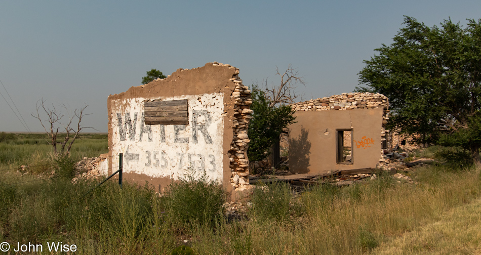
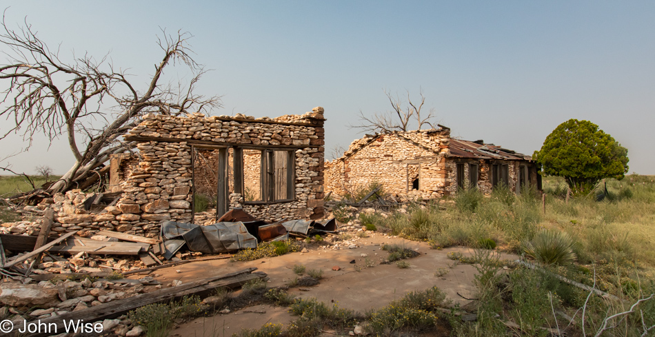
Ruin on Highway 62 Eastern Texas

With nearly 150 miles (240km) driving north before turning east for more of the same, the majority of our day was spent in this seeming wasteland with no redeemable qualities other than being an epicenter for economic activity that contributes to an incredible resource wealth for Texas and New Mexico. Well, that stuff and the town of Pecos with those tamales.

Near Seminole, Texas

Big-time nerd action was had on the side of one of the roads we traveling when we stopped to watch a crew working on electrical towers putting up high-voltage transmission lines. We kept our distance until I noticed one of the guys starting to cut a cable, and I asked if we could see the cable up close; he said we had to keep our distance, but he then cut off a length of the aluminum and steel cable and brought it to me. Sadly, it was too long to fit in our car, and he’d already moved on, so there was no asking him for a shorter piece. No matter; we were as happy as if we’d spotted wolves in Yellowstone.

Wind Turbine South of Stanton, Texas

While much of the Permian Basin is this flat, dry environment with sporadic areas that are farmed, the area is big on energy extraction of not only oil and natural gas but of wind too. With about 2 billion barrels of oil produced worth around $150 billion annually and 10.5 trillion cubic feet of natural gas extracted worth about $38 billion, the wind might be a small part of the economy, but still, they are producing about $6 billion of electricity by harnessing this resource.

Stiles Courthouse in Big Lake, Texas

On the side of State Highway 137 near Big Lake, Texas, stands the old Stiles Courthouse which is looking like it won’t be of this world much longer. If this was part of a larger town at some point in the past, evidence of that is hard to see out here. The building was still in use in 1966 by the highway department before being abandoned. In 1999, an arsonist burned it after two previous failed attempts.

Ozona, Texas

Twenty-four years ago, while returning from our first cross-country road trip, we passed through Ozona, Texas, and took a photo of this sign; you can see it by visiting this ancient page from that trip. Tonight, we are staying here in Ozona. By the way, our original attraction was due to the sound of the name of the town, which reminds us of our home state, Arizona.

Desert to Desert

Dimitri at Simpson Hotel in Duncan, Arizona

Good morning, Dimitri! Nice to see you here on your perch, and thanks for guarding the parlor of the Simpson Hotel from intruders overnight. When we got in last night, the table I sat at for writing on my previous visits was set for dinner as we were joining Deborah, Clayton, Gavin, and Richard for dinner to celebrate Richard’s birthday. While Dimitri wasn’t uninvited, he was nowhere to be seen, which was just as well, as there wouldn’t have been enough cake to go around.

Stuffed owl at Simpson Hotel in Duncan, Arizona

This is not a writing trip but a respite from the task, which meant that we slept in, as much as remaining in bed until 6:00 a.m. can be considered sleeping in. By the time we emerged from our ablutions, Furry the Owl, a friend of Little Burrowing Owl who lives in a hole in a field on the outside of town next to their friends, the ground squirrels who live in a nearby mound, was surprised we hadn’t shown up earlier. We informed Furry that we’d been distracted by dreams that saw us looking to the clouds for the red-tailed hawk so we could warn everyone of its presence with chirping sounds. Or was all of that part of a dream? The more likely truth is that Clayton was the one surprised that he was downstairs in the kitchen well before my arrival in the parlor and then shared the song Little Burrowing Owl, from Mr. Elephant with us, which influenced this narrative and subsequently lodged itself in our ears like a worm for the duration of our adventure to stand under the shadow of the moon that promised to blot out the sun in two days.

South of Deming, New Mexico

A surprise road we’d not traveled previously became the route we’d journey on today as we were informed about a major freeway construction project on the west of El Paso, Texas, that we could bypass if we took this southerly trail. Prior to reaching this dusty stretch of highway, Caroline and I had traveled out of Duncan over to Silver City, New Mexico, to visit with old friends Tom and Sandy. The time spent out their way was brief, but we had to consider the two hours we’d lose today going east. This photo was taken about halfway between Deming and Columbus, New Mexico, on Highway 11, and as you might be able to guess from all the dust in the air, it was seriously windy out here in southern New Mexico.

Columbus, New Mexico

This is the oldest building in Columbus, New Mexico, dating from 1902. Operating as a train depot until 1960, when the line was closed with the track and ties sold off, it is now the local museum next to Highway 9, which used to be the route of the train.

Mexican border wall in southern New Mexico

That’s the infamous fence protecting us Americans from the invaders from Mexico who arrive to steal our jobs. While I’m mostly in agreement that people should take the proper steps to emigrate to the U.S., there are pathways for that to happen for those who are well-qualified and educated to bring skills to our country, but we have millions of dirty jobs that average American’s do not want, and this is where those less-fortunate souls to our south come in to take “all of our jobs.”

Art Car in southern New Mexico

We passed this art car at 80mph and whipped a quick U-turn to catch the guy before he pulled away. Weapons, ammunition, odds and ends, a couple of images of Greta Thunberg, mannequin parts, antlers, and assorted car parts made up this oddly balanced vehicle out here next to the Mexican border.

Prada Store in Marfa, Texas

It turns out that it’s been 22 years since Caroline and I last passed through this corner of Texas on a trip that took us through Valentine, Marfa, and Terlingua down to Big Bend National Park. This famous Prada Store art installation outside of Marfa didn’t show up until 2005, a few years after our visit.

The Holland Hotel in Alpine, Texas

The historic Holland Hotel, built back in 1928, was where we were checking in to spend the night. Of peculiar coincidence, Deborah and Clayton of the Simpson Hotel are also staying here this evening before continuing eastward to San Antonio, Texas, in the morning. They were a few hours behind us, which had us staying up writing and knitting before they arrived around midnight, as we didn’t want to lose the opportunity for this chance encounter with the proprietors of the Simpson so far away from home.

The Absolute Middle – Day 5

Foggy U.S. Route 83 in Southern Nebraska

I think it was 5:15 when we woke, and I’m pretty sure we were in the car just after 5:30ish, but we were not about to go south yet. We had to double back on U.S. Route 83 North over the freeway because Penny’s Diner is just on the other side from where we spent the night. As we were sitting there having breakfast, Caroline was puzzling over the idea that the place felt familiar, and then it came to her: we ate at Penny’s Diner in Milford, Utah, last year on our way to Great Basin National Park.

Were we in that diner for even 30 minutes? It was still a bit dark when we left, but hints of daylight were coming through the early morning murk. It would take a short while to realize it wasn’t clouds but fog surrounding us.

Foggy U.S. Route 83 in Southern Nebraska

Driving at 112 mph (180 km/h) through the fog, we are counting on the road being as quiet as it was yesterday, and since we didn’t see a single policeman the day before, what would be the chances of seeing one now? Just kidding, I was too nervous that one of those giant farm tractors that lumber down the road could be crawling ahead of us, and then there are those seriously large loads where crews are moving the pieces of wind turbines into place. Nope, no speeding here, just calm cruising into the gray unknown.

Foggy U.S. Route 83 in Southern Nebraska

It could have remained foggy all morning, and that might have been delightful, though the photos would have suffered. Then again, that could have been a good thing, considering that we are still 1,200 miles (1,930 km) from home, but we didn’t come all the way out here to see it slip by too quickly.

Foggy U.S. Route 83 in Southern Nebraska

Living in the Phoenix area of Arizona, it’s easy to forget that other places have weather. I understand that readers might think I’m being tongue-in-cheek with such a statement, but as I’ve said before, it’s a rare day in the desert that we don’t see at least some small patch of blue sky, and I know that isn’t very common elsewhere. Likely due to the rarity of inclement weather, we dwellers from the Valley of the Sun have a romanticized view of what others seem to use as a basis for lamentation. Should you sense some contradiction, you’d be correct; I only like poor weather when it’s not conflicting with taking memorable photos.

Caroline Wise and John Wise at the Kansas State Line on U.S. Route 83

Take this photo here. Would it be so happy if it weren’t for the wind and sunshine? Of course, the smiles of the couple featured add to the sense that something is found here that is full of love.

U.S. Route 83 in Kansas

There is a kind of sadness out on the Great Plains when you realize it was turned into “The Flyover States.” A vast sea of monotonous boredom is all that might be found in this open expanse was what I learned and what others have shared over the years. This poor image was likely cultivated by Madison Avenue and Hollywood in order to help drive tourism to the two coasts of America to better serve New York City, Florida, and California as the destination with the greatest value. This disparagement of advertising was to the detriment of creating a viable tourism industry in the middle of America.

U.S. Route 83 in Kansas

The services out here only serve a perfunctory role for those requiring absolute utility. The quaint diner, bike trails across the prairie, a slow luxury train crawling over the landscape, a weekend barn stay, and an emphasis on wildlife refuges are the things sorely missing. Dreamy experiences are only manufactured in our metropolitan areas, beaches, and lakes.

U.S. Route 83 in Kansas

Out here on the Great Plains, you must engage your senses and plumb your imagination as trophies are not presented as self-evident iconic architecture and characters.

U.S. Route 83 in Kansas

Whoa, exposed rocks in Kansas, I had no idea! Out here on these small roads, there’s an opportunity in the randomness of things that might catch your eye where we can allow ourselves the indulgence of pulling over and enjoying the moment. That spontaneity to find serendipity is lost on the interstate, where you are forced to conform in order to survive.

Wheat next to U.S. Route 83 in Kansas

Wheat, this is exactly what you’d expect to see out here. You should also expect to listen to an incredible soundscape with the prairie abuzz as nature reawakens to the activity of bugs and birds. From hilly areas, sounds bounce around to these relatively flat expanses of the plains where bird calls, insects, and the wind change the entire orchestration of nature’s symphony. This part of our experience in the middle of America is nothing less than inspirational.

U.S. Route 83 in Kansas

Just as we were about to pass through Garden City, Kansas, we encountered these behemoths convening on the ramp to U.S. Route 400. I believe I’ve seen these types of tanks on feedlots, or maybe they are used for water, but my sleuthing skills are coming up short. All the same, they are amazing in their gargantuan size, as is being here to see a small part of the logistics of moving such pieces of equipment.

Finding out more about this giant roadside golf ball north of Sublette, Kansas, required turning to artificial intelligence as traditional search engine results or searching by image just weren’t doing it. Finally, reluctantly using Google’s Bard, I was able to learn that this FAA (Federal Aviation Administration)-operated radar station is used primarily for air traffic monitoring and secondarily for weather tracking.

Oklahoma State Line on U.S. Route 83

Only 36 miles of Oklahoma ahead of us on this narrow strip of the state.

U.S. Route 83 in Oklahoma

There, did you see it? That was Oklahoma.

A tick on U.S. Route 83 in Oklahoma

Hello, little Dermacentor variabilis, also known as the American dog tick or wood tick. Only strings of expletives are worthy to describe these damned demons that shove something called a hypostome through the skin, which is described as a harpoon-like doubled-edged barbed sword and is the mechanism that makes it so difficult to dislodge them. Needless to say, we are not fans, and after having one embedded in my leg last year for the better part of a morning and afternoon, I never want another one, as the hole it created took weeks to heal. I think this was the third tick we found during our trek into the Great Ticky Plains.

Texas State Line on U.S. Route 83

Welcome to Texas, where you are told to drive friendly, and maybe it’s just implied that you are supposed to shoot with deadly accuracy. To be fair, Texas has only had 18 mass shootings in the past ten years, hardly any at all, and only 154 people died. Don’t get stupid asking about how many were injured; they don’t count in Texas. By the way, there were supposedly 40 other mass shootings in Texas over this period of time, but they don’t have Wikipedia articles, so they don’t rise to be noteworthy and should be ignored. Finally, don’t go thinking that Texas is some kind of leader in mass shootings, as Illinois holds that distinction, with Texas being second. To you busybodies whose curiosity is getting the best of you, let me just go ahead and satisfy your curiosity now so you need not leave my site to learn the stats. Those 58 mass shootings saw 368 people killed and 1,217 injured, like I told you, hardly any at all.

On U.S. Route 83 in Perryton, Texas

Coming into Perryton, the first town you reach on U.S. Route 83 as you enter Texas, you are presented with this great mural, but before you leave town, you get to see these billboards.

On U.S. Route 83 in Perryton, Texas

Need a suppressor for your weapon while passing through Texas? Apocalyptic Fabrication has you covered. How about a Gun Candy colorful coating for your favorite firearm? They do that, too. It turns out that gun enthusiasts might also be fish lovers because the nearby Apocalyptic Aquariums are run by the same company. Guns and Fish, the Texas Way!

U.S. Route 83 in Texas

I was reconsidering my focus on mass shootings and aquariums after I hit save while working on this, and my first photo of this day triggered me to ask Google’s Bard about road deaths due to killer fog, and sure enough, on average, fog kills about 100 people per year with 2,000 injured, no small peanuts, huh? Okay, smarty pants, Bard, now show me how this eclipses the total number of mass shooting victims per year here in the Good’ol U.S. of A. Oh, really, that many? I should just leave this out but holy wow. This likely super faulty artificial intelligence operated by Google tries telling me that about 3,600 people a year die in mass shootings and that about 10,000 are injured. It ended its information/disinformation by trying to tell me that for comparison, in the same year, 2021, it was sampling, there was one mass shooting in the United Kingdom that resulted in ZERO deaths.

U.S. Route 83 in Texas

Yo, Mr. Bummer John, how about moving on down the road and returning to the grandeur and bird songs that accompanied your beautiful trip into the middle of America instead of dragging our dirty laundry out onto the highway?

Green Dinosaur outside Canadian, Texas on U.S. Route 83

Oh, look, a green dinosaur.

U.S. Route 83 in Texas

Lucky for us, it is Monday, which means that Cattle Exchange Steak House just behind us in Canadian is closed, or I might have been inclined to devour yet another pound of steak. Instead, we just keep driving down that old Texas highway.

Caroline Wise in Wheeler, Texas off U.S. Route 83

Jeez, Caroline, it looks like you want to go home with this statue of astronaut Alan Bean. Mr. Bean was born right here in Wheeler, Texas, on U.S. Route 83, thus putting this otherwise small town on the map. Speaking of maps, our need to study ours is quickly coming to an end, along with the ability to choose our own pace.

U.S. Route 83 in Shamrock, Texas

As Porky Pig used to say, “That’s all folks!” We are as far south on U.S. Route 83 as we’ll travel on this trip. The next part of our journey will take us onto Interstate 40 going west, where at 80 mph (130 km/h), we’ll be simply hauling ass with no opportunity to stop and admire anything.

Entering New Mexico on Interstate 40 from Texas

Our bug-splattered windshield becomes the filter through which I photograph our re-entry into New Mexico.

La Cita Mexican Restaurant in Tucumcari, New Mexico

Having emptied our ice chest yesterday, since our breakfast this morning in North Platte, we’ve been surviving on fruit, nuts, and a couple of tortillas until we reached Tucumcari, New Mexico, where La Cita, which we’d seen the other day, beckoned because it looked cool. Was the food cool? Well, the guacamole certainly hit the spot, and the rest was more or less standard Gringo/Mexican fare.

We thought we might make it to Albuquerque this evening, but by the time we reached Santa Rosa, we were finished and needed a break. No, we didn’t return to the stinky motel with the nostalgic Route 66 neon sign and opted for a Super 8 at $95 for the night. While in our room and minutes before we were about to go to sleep, I got the strangest phone call, but details will have to wait for tomorrow’s blog post. Stay tuned.

The Absolute Middle – Day 2

East of Santa Rosa, New Mexico

Last night, we were up for about 45 minutes, starting around 2.30, when we were woken up by the sound of heavy rains and hail pounding our motel. After about 20 intense minutes of storming, things seemed to settle down, and with that calm, we decided we could go back to sleep, but we had just put our heads back on the pillows when the door was being pelted again. In bed, I had considered moving the car under the awning at the closed motel office, but I was certain the storm had passed; oops, so much for my desire to remain dry inside our room, as vengeance was the name of part deux. During the next respite from the onslaught, I donned a shirt and shorts and drove the car under that small covered area. Too late as now the storm really was over, and as I’d later find out, we had about a dozen small dents adorning the roof and hood of our car. At least our glass is intact. By 6:30, we are back on the road, waiting for the sun to emerge from below a band of heavy clouds to the east.

East of Santa Rosa, New Mexico

At the eastern side of New Mexico, it’s becoming obvious that we are transitioning to the Great Plains, hopefully not into Great Storms. Caroline broke out Wunderground.com in order to track where the weather was and where it was going as we chickens have no need for witnessing tornados near or far. We didn’t learn until later that crossing the Pecos River in Santa Rosa, New Mexico, is considered the rough edge of the plains; now we know.

Kix on 66 Diner in Tucumcari, New Mexico

An hour down the road, we are pulling into Tucumcari, New Mexico, looking for breakfast, and we have a couple of options. The best choice was the classic Kix on 66 Diner that had all the nostalgic vibe one might want when road-tripping. I ordered the Night Owl special featuring a stuffed poblano with eggs and hashbrowns, and Caroline went for the Tucumcari Mountain Taters, hashbrowns smothered in green chili because, in New Mexico, you can’t go wrong when ordering anything bathed in green chili. Our server even filled our thermos with coffee for our continuing adventure. As for the town of Tucumcari, it’s in bad shape, though there are some efforts underway to revitalize things with a couple of trending motels making waves in the national media.

We left mid-day Thursday in order to beat the crush of holidaymakers as they begin the stampede into America’s recreation areas, and while we heard that there would be a record post-pandemic crush of travelers in the airports, those who travel by road are largely not out here. We are accustomed to seeing SUVs with stuffed back windows, motorhomes, and big trucks pulling 5th-wheel trailers as middle America heads into the countryside, but not this Memorial Day, at least not yet. Mind you, we would have dropped into Oklahoma City, Fargo, Omaha, or elsewhere had the flights not been so damned expensive. Add to the cost of flying the exorbitant rates at the chain hotels and Airbnb, and I’ll leave this lengthy road trip with the impression that a part of America is being priced out of travel. This matters because without people renting the old motels or eating at diners, those places will disappear and the prices for what remains will go up, and choices will go away until we are left with a homogenous landscape where big character is no longer found.

Oh, cool, a Google Streetview driver, no, you can’t see him in the photo. He was sitting next to the road here in Texas, considering his options after getting stuck in the mud as he attempted to record this road. We know this because he warned us not to head that way. No problem, we were only stopping to take in the view and avoid taking another photo from our moving car, which wasn’t exactly necessary as east of Amarillo, we’d left the interstate at Farm to Market Road 1912 and headed north to Route 60. There is no image of us at the Texas state sign because we were driving at over 70mph under a gray sky with no chance to pull over for selfies; that was at 8:30 New Mexico time or 9:30 Texas time (we have entered the Central Time Zone).

Have you ever been to White Deer, Texas? Who has, and yet many people dream of going to another planet or at least think of heading into San Diego, Miami, or some resort in Mexico because nothing is in White Deer, and nobody of any importance has ever spoken of hanging out in this town of less than 880 people. People of importance, a.k.a. The Influencer, will not put U.S. Route 60, built back in 1926, on anyone’s list of “Must See” attractions across America because Route 66 already holds the baton of importance for those looking for nostalgia. Well, here we are, using it as an escape from the ugly and anonymous Interstate 40 that we were able to escape from back in Amarillo. Would I recommend visiting White Deer? I would with caveats, we were simply passing through, so we couldn’t afford the time to check out anything other than this grain silo, our first on this particular venture into the heartland, so while there may be other things to take in, we can’t know due to time constraints imposed by our hoped-for destination. On the other hand, we have been informed by a roadside sign here in White Deer that “God is real.”

We turned around to photograph the Carniceria La Unica here in Pampa, Texas, as Caroline took a particular liking to the cow and pig painted on the old building. A block away, we stopped at the sign welcoming visitors to Pampa because Caroline wanted to send friends and family in Germany a photo because of the German idiom “In der Pampa,” which translates to “Being in the middle of nowhere.” The word originates in South America and refers to a lowland grassy plains area that was just carved out of earth only 10,000 years ago by retreating glaciers and is now the home of Buenos Aires, Argentina.

The other side of the Middle of Nowhere.

Seventeen years ago, we were traveling through here, here being Miami, Texas, not to be confused with Miami, Arizona, or Miami, Florida, and we’d swear this metal longhorn wasn’t here because had it been, this photo would be redundant. While we’d like to include Miami, Oklahoma, on this trip, it’s too far to the east to be practical, but someday…

The majority of roads on this trip so far we have traveled on before creating a minor situation that feels like the adventure hasn’t really begun yet. There are many roads we’ve plied plenty of times, and this feeling doesn’t exist, but on those journeys, we are often on our way to places with which we are already familiar. For me, I’m in giant anticipation of where we start going once we hit Woodward, Oklahoma.

We’ve made it back to Canadian, Texas, home of Arrington Ranch, where part of the Tom Hanks film Castaway was filmed and where we stayed back on the 4th-of-July  weekend in 2006. While the old house is no longer rentable, the Cattle Exchange restaurant is still operating, and as luck would have it, they are open. I didn’t think I wanted a pound of ribeye for lunch, but who am I to argue with my gluttony? This old photo was taken by Julius Born from Canadian, who lived from 1879 to 1962, and is featured on one of the walls in the building where this steak house is found. Maybe we take it for granted that meat these days is refrigerated. Some things have changed here in Canadian and the Cattle Exchange, such as the Dough Girls bakery that used to make their rolls is long gone, so the bread pudding is different, and we were informed that after 134 years, the 4th of July rodeo may be skipped this year. Upon getting home and verifying things, it appears that the 135th 4th of July rodeo is, in fact, happening.

Those are the smiles of two travelers who are now under 60 miles from our turn north into the unknown absolute middle.

Would you believe it if we told you that here in Gage, Oklahoma, this brontosaurus was the most normal thing? This place is an alternative universe, and if you don’t believe that, stop in at the Sinclair gas station. More importantly, you must go into their convenience store and sit a spell; there’s something gravely wrong and part of that wrong could be that we are snobs and are unaccustomed to “real people.” As for this dinosaur made of old wheels, it is the creation of Jim Powers, whoever that is.

There it is, out there on the far horizon, the promised land of unknowns. We have turned left and are now traveling north on State Route 34 with an eye fixed on a point 991 miles (1595 km) ahead. In the middle of the road, in the middle of America, in the middle of a relationship where everything looks as perfect as can be. Let me be as clear as the sky is not; this perfection I reference is in regard to where we are on this adventure, where we are in life, and what is available to us. My observations about the larger world of the United States being mired in stupidity remain; the abhorrence I feel about dollar stores and poverty is being reinforced, witnessing the signs and hearing the words of American hate swirl around me every day. Remember, reader, I do not occupy my day with 8 hours of work. I do not watch television or distract myself with video games; I watch and listen to my fellow citizens nearly every day of the year. I observe where you shop, what you buy, and how you deride your children. To those of you who never see what I refer to, your enclaves of existence shield you from the middle of your country as you live in secure and wealthy corners, and the bottom of the class order you do have to witness is of the homeless and absolutely depraved while the middle is obscured in neighborhoods and on land you have no reason to ever see for yourself.

According to the interweb, this facility belongs to Cargill Salt and is found in Freedom, Oklahoma. We had to stop for the photo as it was one of the worst renditions of The Peanuts cartoon characters either of us had yet seen. It’s ironic that we live on such a beautiful land and extoll our freedoms while we remain collectively enslaved to outdated modalities of thinking where we voluntarily enslave ourselves and each other in nostalgia that deceives us into perceiving glorious pasts that are figments of our imaginations. We believe in nonsense that falls only slightly short of thinking that characters painted on the facades of things will somehow cover up the blemishes of our faults and weaknesses and do not miss the point that this was supposed to be a metaphor for what we adorn our bodies and faces with.

At what point in this blog does Dr. Alban’s 1990 hit Hello Afrika come to mind except you modify the lyrics with, “Hello America, tell me how yer doing.” Don’t worry if you stumble on the lyric about needing to “Unite and come together for our future,” as I, too can’t see how that will happen in our polarized country. The silver lining to this pubic outrage and obsession with shallow appearances is that Caroline and I have the entirety of so much of this land to ourselves, where we can embrace, sing, and dance our way into a celebratory life.

My desire to romanticize our potential is likely a naive weakness of mine as, for all I know, this home was a place of nightmares, just as this land is a place of nightmares for many. Why should I have these wishes for others to succeed and find happiness if I already found mine? How can it possibly matter to a 60-year-old man with options ahead of him to get what he wants if others are finding their own path or if they are crashing into a wall of disappointment and failure? Maybe empathy is a cruel joke on the animal that has softened due to lack of hardship after many a year, or is it an atrophying deep instinct to protect and project one’s tribe forward to better survive before the abandonment of life is encountered? Do we pass our home and treasures on to the next generation as things of value or do we lay waste to what has sustained us for so long?

Somewhere during the past year, and it’s being reinforced out here on the Great Plains this holiday weekend, it seems to us that communities with a strong attachment to tradition and god care more about their communities and the people that live in them. This evidence is weak and simple conjecture based on some random blips of thought that arrive out of thin air, and just as quickly as something plays to this idea, we pass through another town where god has forsaken the inhabitants and laid destitution upon their shoulders. Here in Coldwater, Kansas, the town center appears to still have some life left in it; keep praying, Coldwaterians.

Big dramatic clouds, a grain silo, and lush grasses at a crossroads, and I had everything required to stop for a photo to capture that sense of the Great Plains that draws me out here. With that, we were right back in motion, continuing to the north, except Caroline was stuck on her phone examining the map and Greensburg in particular. At the point we were about 7 miles away from the intersection, it was decided that we wouldn’t be deserving of the title of being nerds if we didn’t turn around, and so that’s just what we did based on what Caroline found. Sixteen years ago, Greensburg was taken off the face of the planet by the exhale of god who may not have been feeling the love of the people of this remote outpost. Some called it an EF5 tornado; I call it the smiting breath of our deity.

But it wasn’t the vengeful wrath of god that interested us; it was that the town’s butthole survived. Okay, enough of the blasphemous clowning around. The Big Well was the object of our curiosity. This is the world’s largest handgun well and an absolute specimen of tenacity combined with the insanity of people to risk their lives to establish a town in a place that wouldn’t ordinarily support life back in the late 19th century without water.

Clouds have been following us all day, but contrary to the weather forecast, they never rose to deliver storms upon our heads. Instead, they are acting as filters, offering us god rays that are as welcome as rainbows.

Of course, we were going to stop in a place called “Little Beauty,” which is what Schoenchen translates from German to. In the village proper was a steeple poking out of the surrounding town and trees offering the appearance that we were actually in Germany for a minute. Well, good thing we took the detour as we met this nice lady checking her mail who told us of a restaurant up in Kearney, Nebraska; we should try called Runza, sadly they’ll be closed by the time we arrive. She also told us how to pronounce Kearney, more about that in a moment.

Seems that we’ve been stopping a bit much for the photo opportunities, and that’s okay as it’s always been part of the loose itinerary that wherever it is we make it to, that will be good enough. We are currently in Stockton, Kansas, about 40 miles (64 km) from the Nebraska State Line.

The end of our day is fast approaching, which is a good thing as after more than 14 hours and 600 miles of driving, I could use a break.

If we weren’t so far north by now, it would be dark as it’s 9:00 p.m. as we pass into Nebraska.

We are staying at the Midtown Western Inn in Kearney, Nebraska, for only $70, including tax. Contrary to our perception of how to pronounce Kearney, it is actually spoken as “Karnee,” named after Colonel Stephen Watts Kearny; the extra “e” was a postal error in registering the name of the new town. Someone once claimed that Kearney was 1,733 miles to Boston and 1,733 miles to San Francisco, placing it in a kind of middle, but it looks like someone was playing fast and loose with the map, though maybe back when the routing of the roads was different, Kearney was out in the middle of nowhere.

Decaying Rural Southwest

Yesterday, I was writing about the American Prairie Reserve and the ranchers who are opposed to the idea of preserving a wide swath of the Great Plains for the native grasses and animals that once populated these lands, and yet, most of what might have been here during a time of prosperity has disappeared. What you find in the rural middle of America and the Southwest is decay. Cities are really where everything is happening now and about the only place to find work.

The idea of a renaissance in which high-paying jobs return to the middle of America is a pipe dream where the infrastructure to support tech workers is sorely missing. Add to the complicated situation that in many small towns, the locals do not want outsiders moving in and telling them how to do things, though they do appreciate visitors stopping by to spend money on hotels, food, and gas to support the few businesses that are hanging on. There are many small towns scattered across America that would be ideal for well-paid workers who can operate remotely to take up residence, but the dearth of grocery stores, immediacy of Amazon deliveries, and forward-thinking by the locals make this a daunting challenge.

Sure, wind and solar power installations are promising industries in these empty lands, but once constructed, they operate mostly autonomously, so there is no long-term win to this possibility. Then there are those small towns that flip the need for blue-collar jobs on its head as the very wealthy adopt locations they find appealing. Just consider Jackson Hole, Wyoming; Telluride, Colorado; and Sun Valley, Idaho; these small towns only thrive due to the exclusivity brought on by the profound wealth that was able to squeeze out the non-rich residents. Labor is then relegated to nearby towns where those lower-paid workers must commute to the only jobs that allow them to stay near the area they may have grown up in.

Sure, there’s a tremendous amount of pride among the people who survive on these hardscrabble lands, and they’d pay a hell of a personal price to try to integrate into some of our bigger cities but without growing populations and new industries or workers establishing themselves in these thousands of far-flung towns, what are the odds of their survival?

Over the years, we’ve driven through some beautiful old places that visually are incredibly enticing, but the majority of their storefronts have been shuttered long ago. The slow decay which ushers in the sadness of a place leaves bitter anger in its wake. I don’t mean to imply that only grumpy people remain as we meet some wonderful people along the way. But, after enough time out here in small cafes and gas stations and poking around ruins, closed businesses, and other curiosities, it’s bound to happen that you eavesdrop on anger or are confronted by someone who doesn’t have time for someone interested in things they don’t want you to be interested in.

Then, on the other hand, there’s the wildlife that, aside from often being afraid of people as they seem to sense our murderous intent, just go about their lives making the best of whatever is in front of them. If you don’t believe they see through us, just watch them when other species are around. I’ve seen rabbits hanging out with birds, deer grazing near donkeys, prairie dogs chilling with hawks, and they all just get along. Okay, I’m joking about that last one, as prairie dogs will tear those hawks some new b-holes in a second.

Another dirt road, but not the one I thought I wanted. While it will get us where we’re going, the passage of time lets me forget how Caroline and I got to the same destination 15 years earlier. No matter, as it’s beautiful out this way.

As Jessica and I drove through Canadian, Texas, and I recounted Caroline’s and my July 4th, 2006 celebration of Independence Day with a parade, rodeo, small fair, and fireworks, I mentioned that we’d stayed at the ranch house featured in the Tom Hanks film Cast Away. Asking if Jess was curious to see it and that it was nearby, we meandered out the dirt roads that brought us here.

The old house that still looked pristine six years after Cast Away was released is now showing some serious wear. We learned from the Arrington family back then about the problems with ranching in this region due to depleting groundwater and drought, so there are those issues of needing the capital to support life out this way. Some months ago, I wrote to Mike and Debbie (the Arringtons) about the possibility of renting the property again but was informed that the bed and breakfast side of the ranch was no longer available.

One-thousand thirty-eight miles ago, we turned south and had already spoken with a few people who were lamenting the drought conditions and grasshopper infestation. Well, we are in Texas now, and true to form, things are bigger out here. The grasshopper on the right was already bigger than the ones we saw jumping away from the car when we had stopped for photos in North and South Dakota. The grasshopper on the left could have been saddled and ridden off into the sunset; it was close to being reclassified as a monster.

Tiptoeing On The Ocean Of Storms is the name of the sculpture of astronaut Alan L. Bean, who was the 4th person to walk on the moon. This monument to a favorite son of Wheeler, Texas, stands in front of the local historical museum. Even the road out front (U.S. Route 83) has been renamed in honor of Captain Bean.

The anger I spoke of earlier is not hidden; it is in plain sight, and the juxtaposition of the assault rifle with the church that is reflected in the window speaks to the fundamental zealotry that has festered in these corners of America. Sadly, or maybe fortunately, this will all disappear as these towns continue their decay into irrelevance.

These two photos of the rifle and this absolutely empty main street play testament to my supposition that towns such as Shamrock, Texas, pictured here and a broad array of others up and down the middle of America will continue their fade-out. I find this tragic as it speaks volumes to the type of mentality that populates these remote corners where people are inflexible, under-educated, and often afraid of change though they’d likely challenge my gross characterization, possibly even with a weapon, thus proving the above.

Back in the day, at the height of Shamrock’s population, the town had nearly 3,800 citizens, but today, that’s about half of what it was. Old U.S. Route 66 intersected with U.S. Route 83 as people passed through the crossroads of America right here, but that time is over, and discovery and exploration are relics from a different age.

After 1,125 miles (1,810 kilometers) on the 83 South, we turned west on Texas Highway 256. We peeled off 20 miles early before reaching Childress, Texas, as we tried to shave some driving time off the day.

Why did the javelina cross the road? Don’t answer, as it didn’t end well. A few feet away from this lifeless creature was the truck driver’s license plate that was torn from the vehicle, so if the person who lost Texas plate number AK5 6815 ever looks for that number, here’s the animal your truck took out.

Welcome to Lesley, Texas, a great place for people looking to photograph the spreading decline of America and a horrible reminder of what it once was to the handful of people who might still live in the area.

I don’t think this recliner has seen use in many a year though the birds seem to enjoy pooping on the left corner of it when they’re not taking aim at the walls.

The first thing my daughter noticed here was the 1970s plastic cup holder over the sink. I think she wanted it. Come to think about it, she might have snagged it because while she went upstairs to explore that area, I ventured outside, but not before…

…I admired the toilet with an open lid that I could only imagine what was in it. You see, I was afraid to step into this room because I couldn’t be certain how much floor damage might have occurred from water, and my curiosity to peer into a potentially shit-filled bowl was lower than my sense of preservation that wanted to remain in the light.

Speaking of remaining in the light and sketchy floors, the neighboring house met all the criteria of being a place I wasn’t going to step into, and while you probably can’t see it over on the left at the lower corner of the window is a small part of a hive of bees. Below that is the larger part of the hive that is peeking out of the dark hole and is moving along the lower wall. I was looking at 1000s of these chill bees that, fortunately for me, were not disturbed by my presence.

Look at my horse. My horse is amazing. Give it a lick, Ooh, it tastes just like raisins.

Dimmitt, Texas is not a misspelling, as I was reassured that a Dimwitt would only be found in the mirror. Had we arrived an hour earlier, we could have eaten here, so it goes.

What is it about grain silos that are such interesting architectural structures? Maybe it’s the repeating megalithic brutalist forms they take? Or maybe it’s their demonstration of historical significance and the lingering echoes of the steam trains pulling through to collect the wheat or barley for hauling across America? Whatever it is, I know that when I see these silos off in the distance, there’s a likelihood I’ll be stopping to snap a photo or two of them.

Getting closer to home as our trip is winding down fast.

Before we’re even 50 feet into New Mexico, we get to encounter our first abandoned building, an old motel. This dilapidated place rests in decay in the small town of Texico, New Mexico. I think the founders of this town were being cute when they married Texas to Mexico. This motel used to be known as the Cross Roads Motel, and from the state of the sign out front, I’d have to guess it hasn’t been deserted for all that long.

The empty toilet paper roll is right across from the toilet that had been used fairly recently; I hope the person knew before they started their business that there’d be nothing to wipe with. Just as I’m writing that I realized that the shower curtain is still there, so in an emergency, I guess it could be used to clean the old b-hole.

Yeso, New Mexico is a big Nogo these days.

Here we are in the Mesa Hotel, which was a museum at one time after the demise of the building’s use as a lodging stop. Though the faded paint is difficult to read, you can still make out that rooms used to cost from 75 cents to one dollar.

It seems that Yeso came into being as a train stop, and when trains transitioned from coal and steam power to diesel, the need for the station that existed here was no more. So began the decline of another outpost in the frontier.

Looking for details regarding Yeso after getting home, I learned that there’s still a single resident living here in town. Her name is Deborah Dawson, and I can only wish we’d met her. I suppose if she made herself known to everyone who stops to look around she’d be a full-time tour guide for the curious.

Like hotel rooms that used to go for a dollar, it’s been many years since a tobacco seller supplied businesses with sponsored signage announcing their opening and closing hours. That business now belongs to Visa/Mastercard it seems.

Maybe you are wondering if there are any viable towns remaining on the route we’ve taken, and the answer would be a resounding yes. While not one of them feels like a place to find success or even a future, they do exist. From Minot and Bismarck, North Dakota; Pierre, South Dakota; and North Platte, Nebraska, there are those places that appear to be holding on, but in over 1,000 miles, those were about it.

Another 50 miles west, and we pull into Encino, New Mexico. Do you see a trend?

And then the real treasure is found just off the road on a small spur where nearly a dozen vehicles are pulled over. Under one of these giant turbine blades, a few people sat just finishing up dinner. We learned that these loads travel pretty quickly, but how long they can be on the road in one day is limited. At approximately 200 feet long from the nose of the semi to the tip of the blade behind them, these are some seriously long loads. One of the guys demonstrates how flexible these fiberglass creations are and allows us to reach up and touch them. For something that weighs more than 10,000 pounds each, they sure are easy to move.

Another day with a ton of miles accumulating behind us, but we still have a good amount of time before we reach the end of today’s road.

I, for one, can never get enough of spectacular sunsets, and this one being filtered through the heavy smoke from the California fire allows us to look at the sun with our naked eye. Not good for the environment, but it sure plays pretty with the aesthetic.

The sign is the worst for wear, and COVID has created the situation that our old favorite stop in Socorro is now closed Monday and Tuesday in addition to closing at 9:00 or 10:00 p.m. depending on staffing, but lucky for us, we arrived on a Sunday night before they locked the doors. The El Camino Family Restaurant has served us countless times on our journeys into and across the region. Our motel tonight was just short of being a nightmare, but when everything else is costing $159 and up, what should one expect for $67? Tomorrow is the beginning of the end.

Lost Texas – Day 5

Somewhere in western Oklahoma

Things only got worse overnight regarding the flooding in this area on the borders between Oklahoma and Texas. We were told there was no chance of continuing north and that the Red River was unpassable to the south. Originally, our goal had been to pass through Medicine Lodge, Kansas, because I liked the name and then continue north to Great Bend, also in Kansas, which would allow us to connect lines on our map of the U.S. Our only way forward today was to try and go west, the operative word was “try” because we were warned that we may or may not find a way due to water spilling everywhere.

Somewhere in western Oklahoma

(I should reiterate that this post and the ones around it are all being written in February 2023. I didn’t post much of anything from 2014 through 2017 because I was preoccupied to distraction with the operations of my company TimefireVR.)

While the water that was crossing the road in the photo above this one didn’t look too deep, nobody else came along, so we couldn’t judge what the conditions were and instead turned around. We encountered a lot of flooded fields as Caroline tried to navigate us through the maze of rural roads.

Somewhere in western Oklahoma

At times, the water collecting appeared to be a flooded stream or small river bed, but as it crossed roads, we deferred with extra caution and just kept hunting for a way westward.

Caroline Wise in Texas

Thanks go to this magic turtle that offered us a way out by pointing the way. Though he was camera shy he stated that he’s always eschewed the limelight for helping humans on their path and stay safe.

Somewhere in the panhandle of Texas

The middle of the Texas Panhandle was high and dry; we started to try and breathe easily.

New Mexico state line

We passed into New Mexico between Texline, Texas, and Clayton, New Mexico, with the rain seemingly closing in on us. With this, our Kansas, Colorado, and Utah part of the loop was struck from the plan and now we were limping back home. Our destination this evening was still about 150 miles away over in Eagle Nest, New Mexico. Caroline had plans…