Happy McKiteface Over Oregon- Day 9

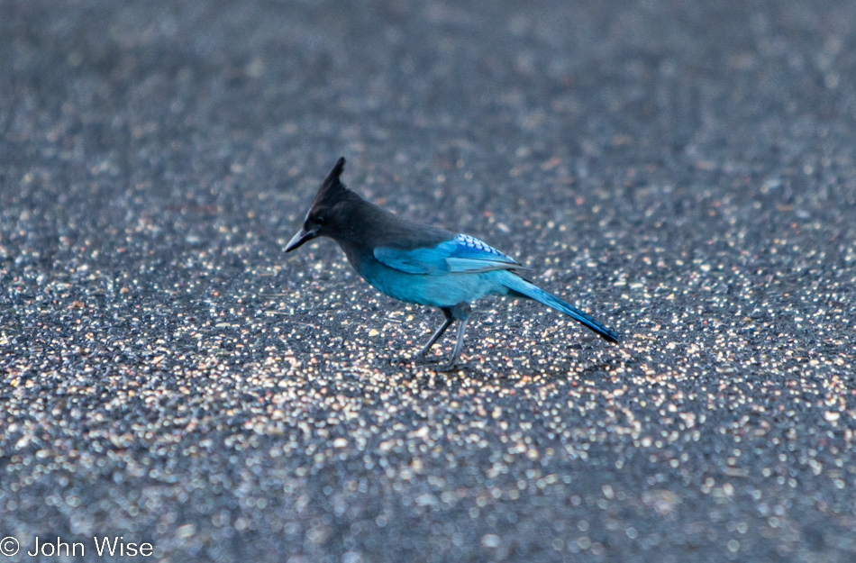
A Stellar Jay at Umpqua Lighthouse in Reedsport, Oregon

Good morning, Steller’s jay! I hope you enjoy your morning meal courtesy of the vanlife guttersnipes that squatted here overnight. Caroline and I have been visiting the Oregon coast for about 20 years now, and I can say with certainty we’ve never seen so many roadside freeloaders who don’t have the respect to pay attention to the “No Overnight Camping Allowed” signs. I can only surmise that their sense of being free to roam America’s roads allows them to feel a sense of entitlement that arrives with their chosen form of homelessness for the sake of social media status. Regarding the homeless situation, it has spilled out of the bigger cities and now shows up on the coast in ways we’d not seen before. From more people living in cars (not in the aforementioned vanlife configuration) to people struggling with loads of stuff being moved through town and those who will join the ranks in the coming year due to the problem of rising rents, the situation is one of ugly proportions. Back to the vanlifers, Caroline and I used to pull into overlook parking lots where we might be the only people, but when we pull in, and there are people just waking, finishing their ablutions, or putting away the cooking gear, I try to imagine what our experiences would have been like if people in motorhomes had exercised the same liberties, especially considering two large vehicles could fill up a pullout and stop anyone else from stopping for a moment. Just because we didn’t park at an ocean overlook doesn’t mean our waking experiences are any less valid or someone else’s even greater because they flaunt convention. Enough of that, I look forward to the day that vanlife is no longer a thing or I’m dead and gone, no longer able to witness the arrogance.
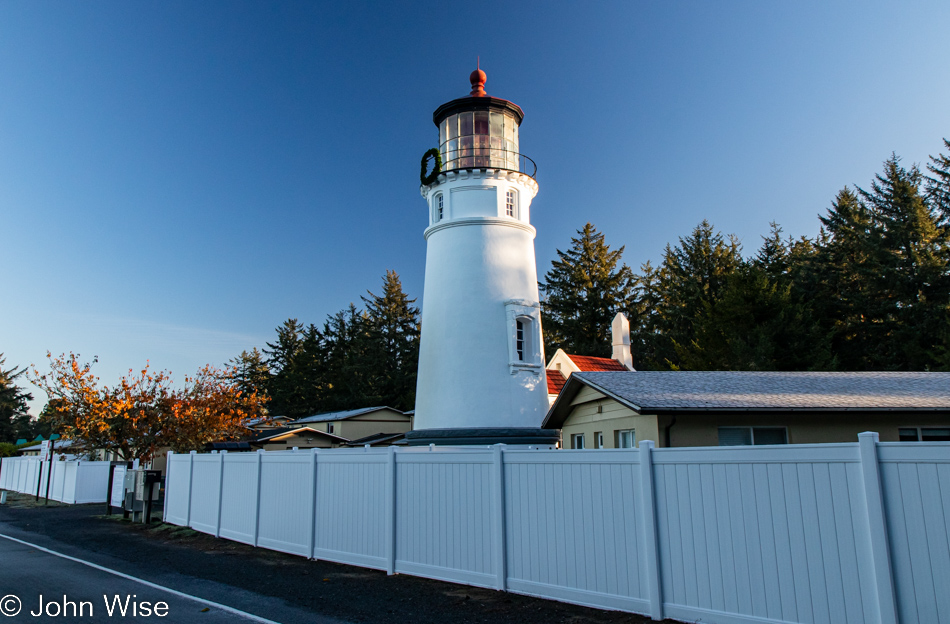
Umpqua Lighthouse in Reedsport, Oregon

Normally, waking near the shadow of a lighthouse is a terrific thing, but driving into someone’s temporary bedroom sure puts a damper on that. Fortunately, they were soon gone after we spoiled their perfect isolation with our intrusion. Oops, I said I was done with all that, but the truth is that I’m never done once something gets jammed in my craw.

When we travel on weekends, it’s often been difficult for Caroline to connect with her mom in Frankfurt for her weekly call, but it just so happens that our brother-in-law Klaus is visiting Jutta as we were packing up the yurt and is going to bring us into a video chat. While my mother-in-law has certainly been here at the lighthouse, we have some skepticism about how much she remembers or whether she simply learned to just go along with things and agree to fond memories rather than admit these things are largely gone from her book of memories. It’s really not a problem, though, as she smiles a lot, and we know she’s still very aware that she’s been to the United States many times, even if many of the details are lost to the passage of time.
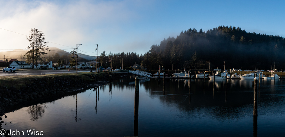
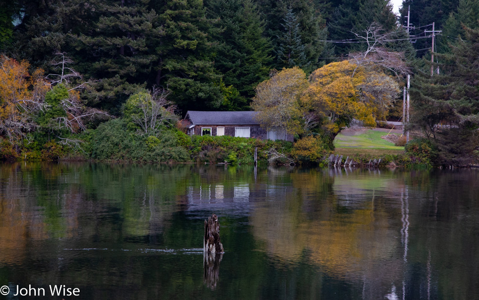
Umpqua River in Winchester Bay, Oregon

Do you remember how years ago there was a floating restaurant off in the distant corner here in Winchester Bay? We fondly do and have often wished to visit again, but it’s been closed for years. We first dined there back in 2006; such is the good luck of having blog posts to remind one of something that might have been forgotten otherwise. Today, we sit next to the Umpqua River for breakfast after choosing the place with more cars parked outside, figuring the locals know something.
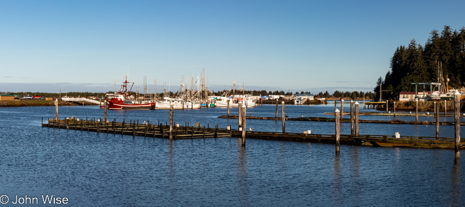
Umpqua River in Winchester Bay, Oregon

Never believe in 10-day forecasts, or better yet, simply don’t look at them because would they really change your travel plans? This is probably bad advice because at least they offer some idea of how to dress for potential weather conditions. As for the location, we are on the other side of the restaurant for a post-breakfast walk under perfect skies.
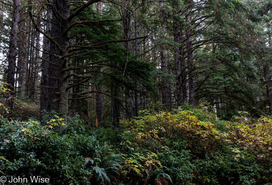
Umpqua Lighthouse State Park in Reedsport, Oregon

This isn’t just any old forest; it is the forest that goes back…
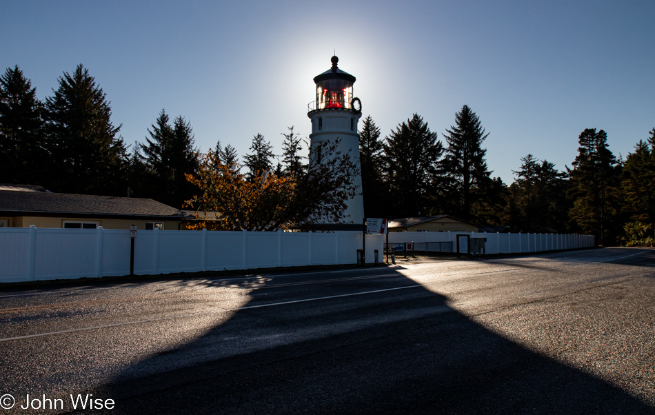
Umpqua Lighthouse in Reedsport, Oregon

…back to the Umpqua Lighthouse because without Tillamook Creamery around for breakfast dessert, this will have to do.
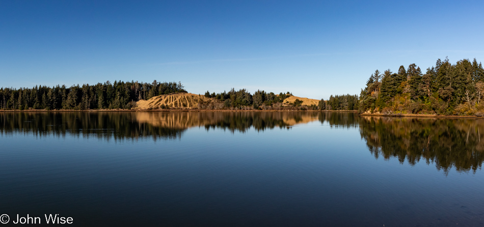
Oregon Dunes seen from the David Dewett Veterans Memorial in North Bend, Oregon

We are looking across one small part of Coos Bay from the vantage point of the David Dewett Veterans Memorial in North Bend. It almost never fails that the reflections of the Oregon Dunes catch our eye, and poetically, it makes sense that a place of such great reflection should be the site of a veterans memorial.
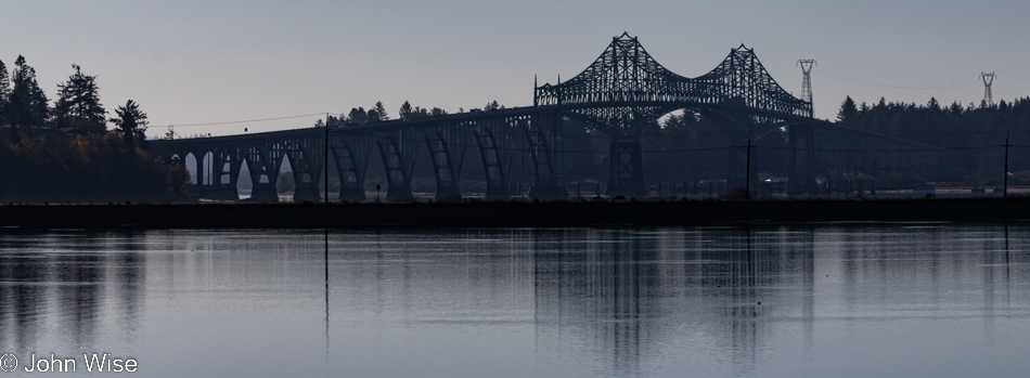
McCullough Memorial Bridge in North Bend, Oregon

In the opposite direction, you’ll find the McCullough Memorial Bridge.
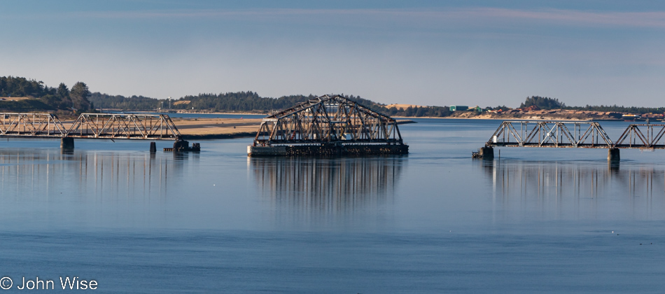
Rail bridge over Coos Bay in North Bend, Oregon

In all the years we’ve been passing through here, we’ve yet to see this rail bridge in any other position or to see trains crossing the bay. We can only guess that this is a relic of the age of forestry as it existed in the past.
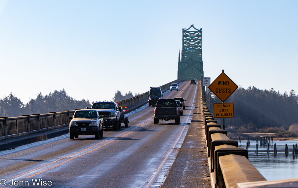
McCullough Memorial Bridge in North Bend, Oregon

From this fascination with bridges, one might think Arizona doesn’t have any, but it turns out that Arizona and Oregon are nearly equal in that department, which suggests that the bridges in Arizona are not remarkable in any way. Before you object: yes, we have the Navajo Bridges over the Colorado River and the London Bridge that was moved from the U.K. to Lake Havasu, along with the Black Bridge down in the Grand Canyon, but other than those, I cannot think of any other memorable crossings in Arizona. [May I suggest Roosevelt Lake Bridge?  Caroline]
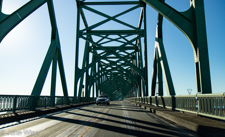
McCullough Memorial Bridge in North Bend, Oregon

For 86 years, people have been using this bridge, but has anyone else taken so many photos of it?
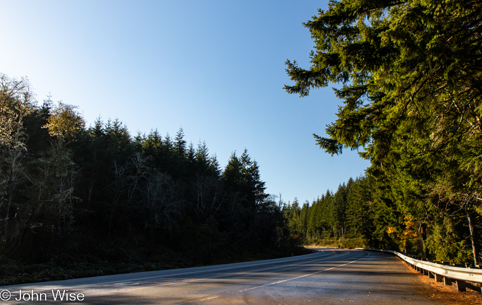
Traveling Highway 101 south of Coos Bay, Oregon

I’m always trying to remind myself to not only stop and take photos of the most iconic things but also the mundane ones along the way, as they are just as important a part of the attraction that draws us back year after year.
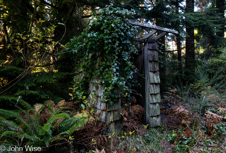
Old rain shelter on Riverside Drive in Bandon, Oregon

In addition, we try to turn down side roads we might have missed on previous travels, and today, that worked in our favor when we turned onto Riverside Drive. At first glance, this might look like an outhouse to those of us not accustomed to living in rainy places but upon looking closer, it was obvious that this was a long-neglected bus stop for kids who needed shelter while waiting for their school bus.
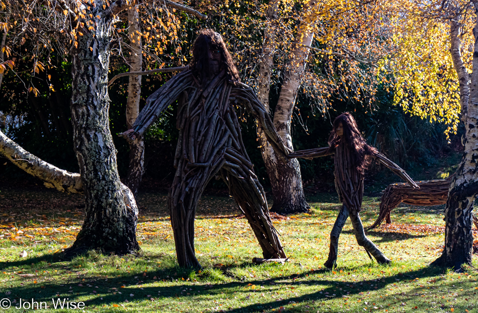
Big Foot and child on Riverside Drive in Bandon, Oregon

That, or it was a hiding place from a marauding Big Foot and its daughter.
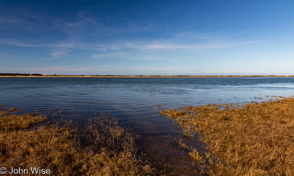
Bandon Marsh National Wildlife Refuge in Bandon, Oregon

Also from Riverside Drive, a view of the Bandon Marsh National Wildlife Refuge we’ve never seen before.
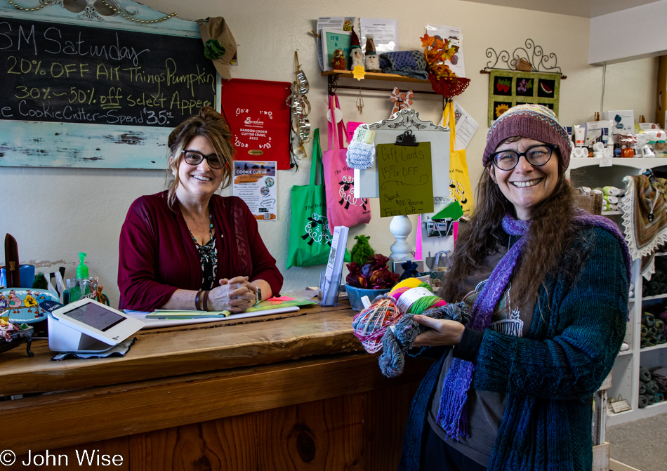
Caroline Wise at the Wool Company yarn store in Bandon, Oregon

The same cannot be said of the Wool Company yarn store in Bandon that we’ve visited countless times and must have bought 50 skeins of yarn from by now. Yes, there is new sock yarn there, destined for my feet.
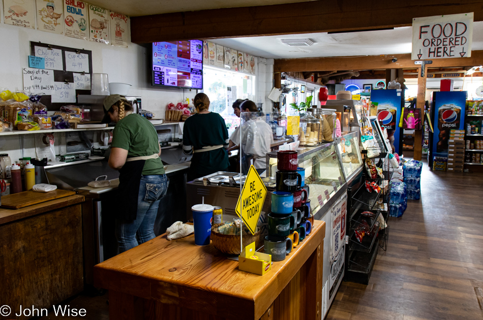
The famous Langlois Market in Langlois, Oregon

Another place becoming a regular stop on our journeys is found here at the famous Langlois Market, best known for the more than 1,000,000 hotdogs they’ve sold from their little roadside market in a town of only 370 people.
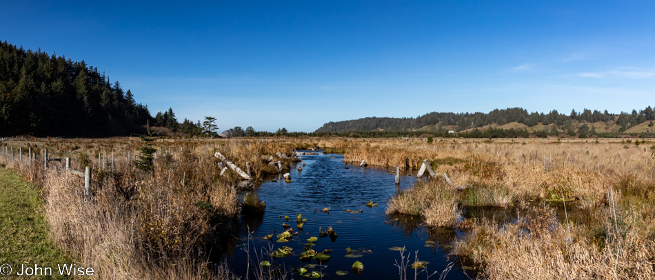
Cape Blanco State Park in Port Orford, Oregon

Not being able to remember offhand the last time we visited the Cape Blanco Lighthouse, we decided to drive down the road through the state park to have a gander.
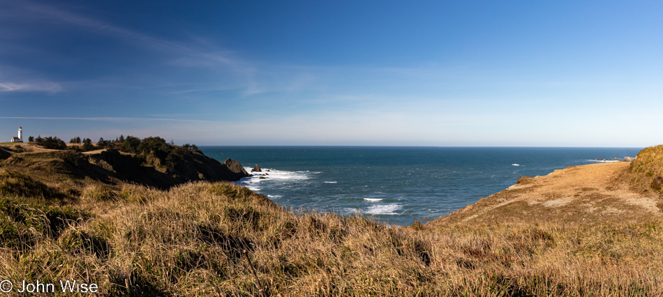
Cape Blanco State Park in Port Orford, Oregon

Oooh, it’s windy and cold out here, but the sky demands that we take the short walk in the elements to nab a photo of the lighthouse should it happen that I’ve never taken one in such nice weather.
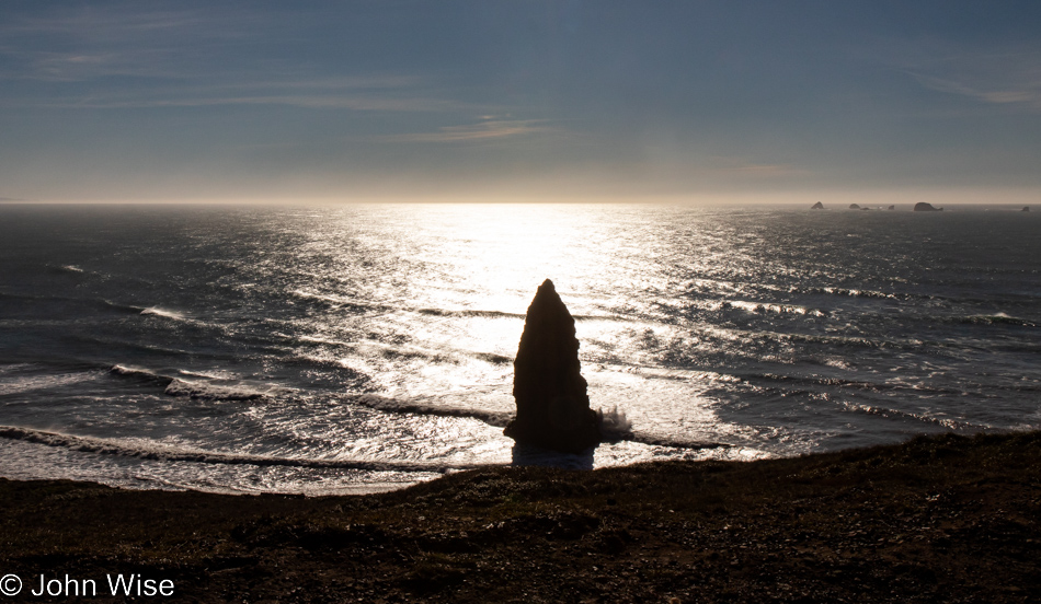
Cape Blanco State Park in Port Orford, Oregon

Apparently, Neptune has raised his Sword of Damocles against those who live above the surface of his vast ocean, threatening all of us should we not heed our own knowledge that we are ravaging his seas.
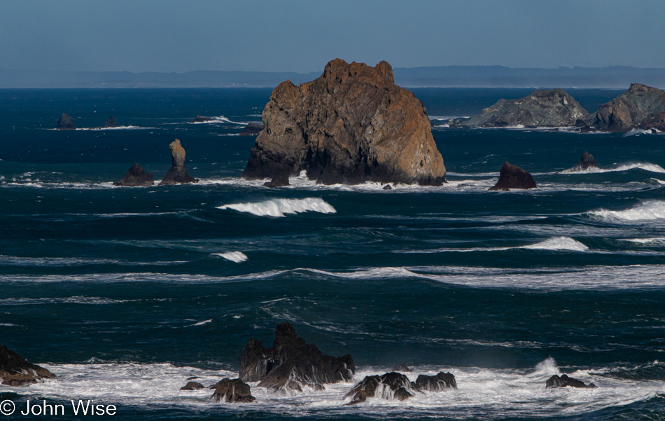
Cape Blanco State Park in Port Orford, Oregon

And to our right, as we walk out on the spit of land that is home to the lighthouse, is this view of the deep blue sea that just yesterday was dark green.
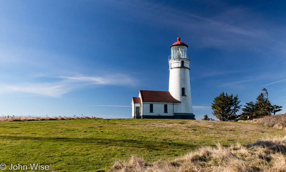
Lighthouse at Cape Blanco State Park in Port Orford, Oregon

At this time of year, nothing is open; the season is over. No matter, as the tower itself is not currently visitable even during the summer.
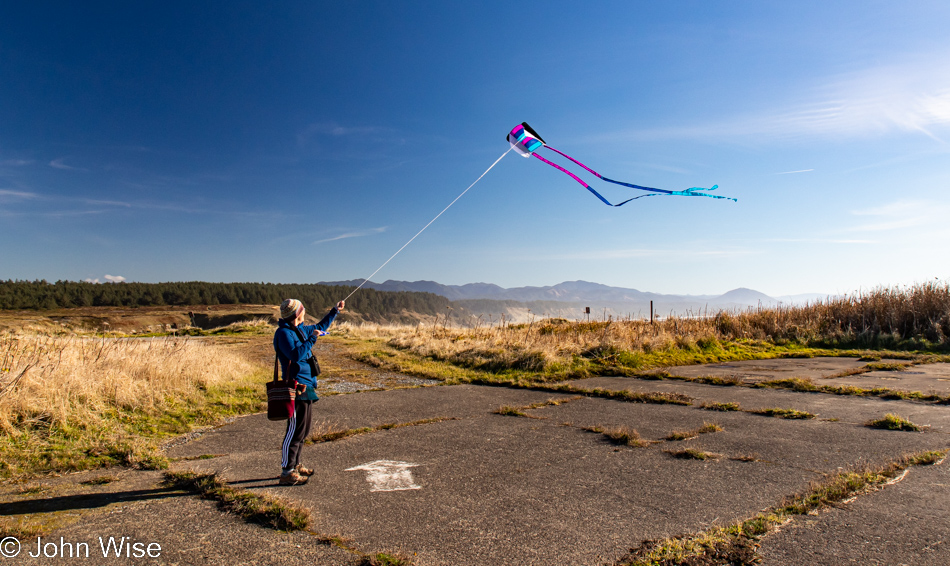
Caroline Wise at Cape Blanco State Park in Port Orford, Oregon

As I said, it’s windy out here, which Caroline thought was as good a time as any to break out the new kite and test how it compares to the one it’s replacing. We’ll just call it love.
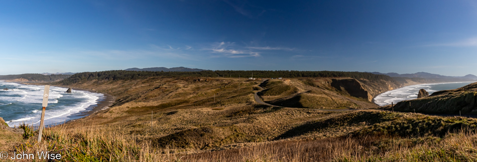
Cape Blanco State Park in Port Orford, Oregon

Our car is out there in front of the tree line, and looking at the photo above this one, you might have noticed that Caroline was standing in the old parking lot. Even if the road to the lighthouse was still open, you should be reluctant to drive it as the adjacent cliffside is eroding.
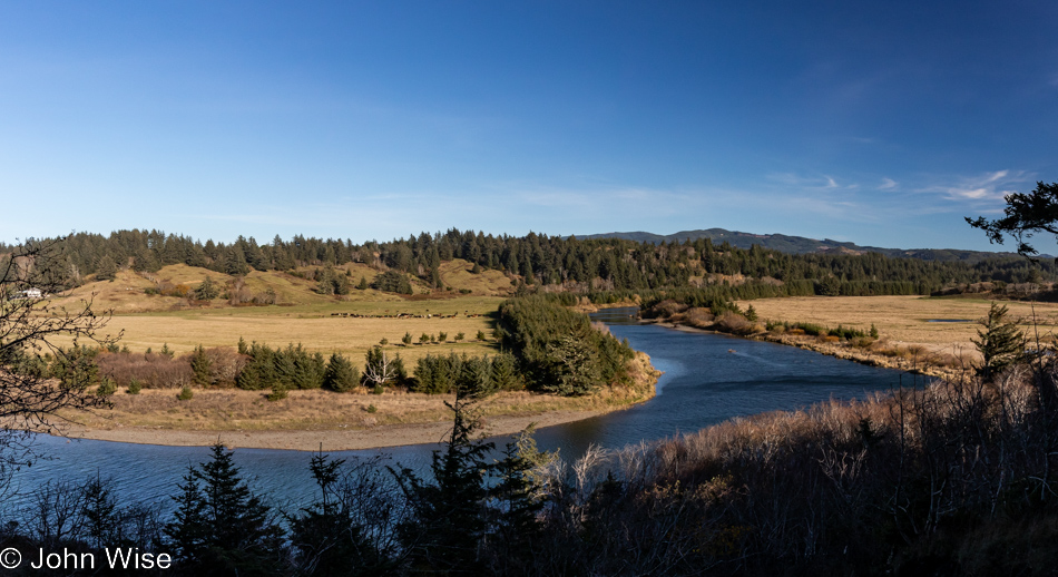
Cape Blanco State Park in Port Orford, Oregon

This is still part of the Cape Blanco State Park, and to the left is the Historic Hughes House built in 1898 that is visitable.
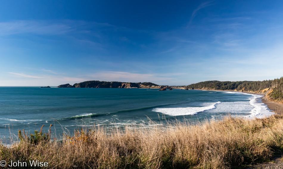
Port Orford, Oregon

There are a lot of places I can say with certainty we’ve visited before, even multiple times, but this pullout looking north towards Port Orford seems to me to be one of the surprisingly many new sites we’ve stopped at during these days.
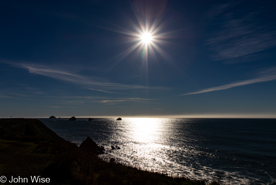
Looking southwest from the same vantage point offers up a crisp sky and a horizon nearly devoid of any fog. Of all the times we’ve been asked if we’ve been here or there, this country or that, nobody has ever asked if we’d ever had the opportunity to be out in the middle of the Pacific Ocean.
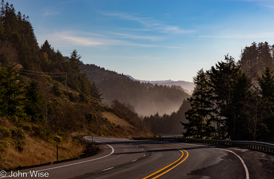
While our yurt at Bullards Beach State Park in Bandon is now 30 miles behind us, we have a date with a rock 35 miles ahead.
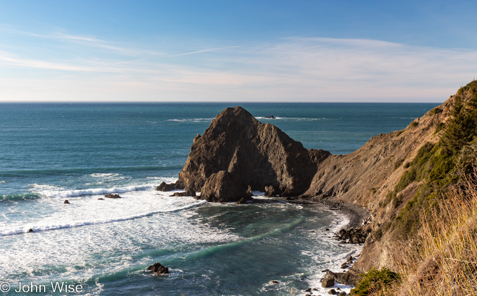
View from Highway 101 north of Gold Beach, Oregon

Persistence paid off in my attempts to figure out where the heck we were on the road, but it is mislabeled on Google Maps and is not identified at all on Bing; the address is roughly 35690 Oregon Coast Highway, identified with Port Orford, and it is NOT Foramen Arch.
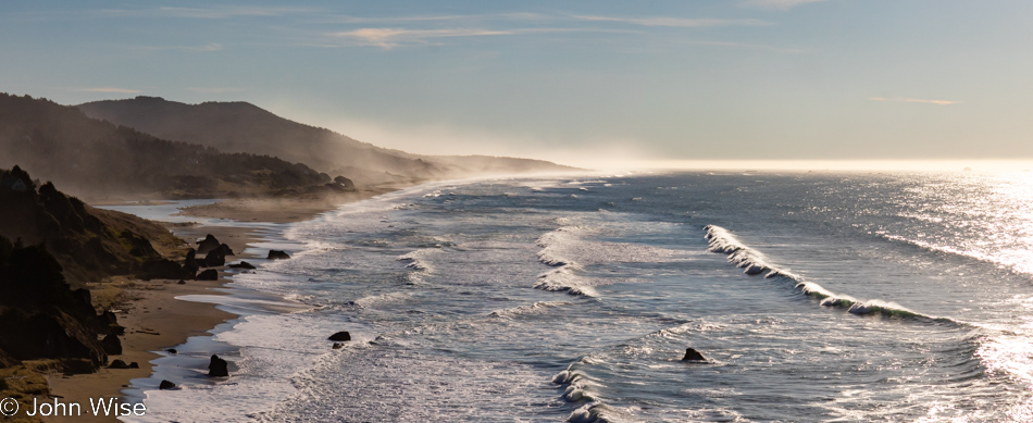
View from Highway 101 north of Gold Beach, Oregon

Turn and look south, and this is your view from the photo above. To the left of the image, you can see Euchre Creek spilling into the ocean.
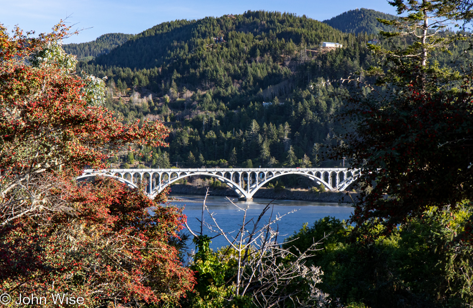
Wedderburn Bridge in Gold Beach, Oregon

Moving down a hill and between the bushes, we were offered this view of Wedderburn Bridge in Gold Beach. I wanted to snap a photo from the road, which gave a much better view; stopping for a photo would have been too dangerous though, so this one will have to do. It’s yet another bridge designed by the famous civil Oregonian engineer with a Hitler mustache named Conde McCullough.
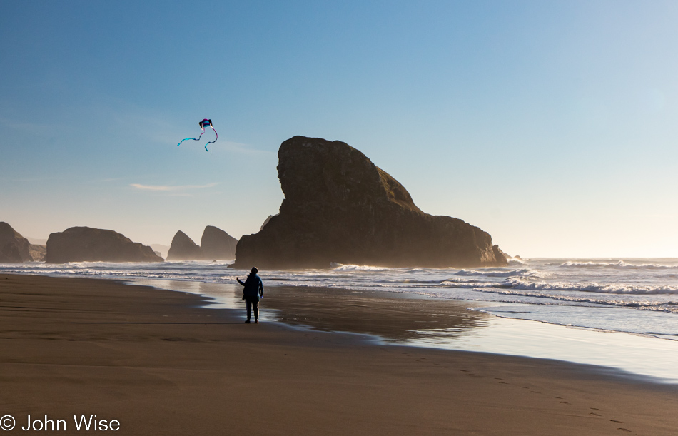
Caroline Wise at Meyers Creek Beach in Gold Beach, Oregon

Meet our southern date here at Meyers Creek Beach, the Shark Fin. This visit, though, now comes with 100% more kite.
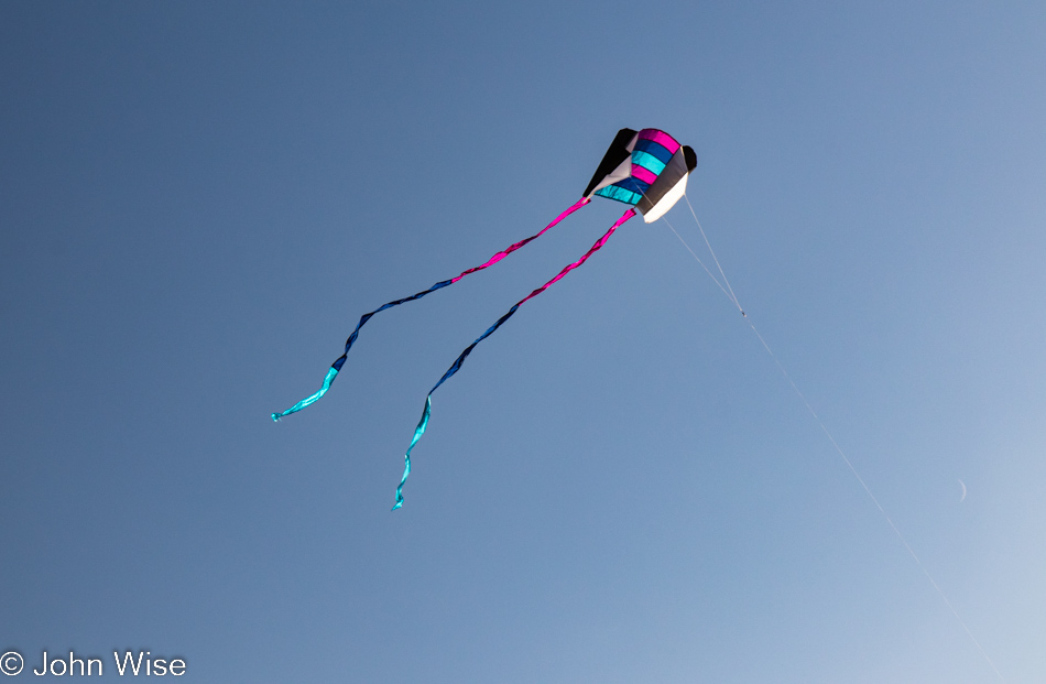
Meyers Creek Beach in Gold Beach, Oregon

No more disappointment trying to fly the previous pathetic little kite that was reluctant to take to the sky, as this one is a natural.
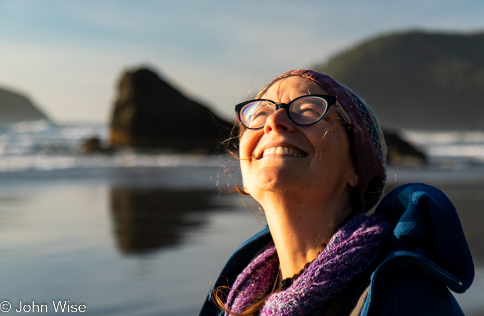
Caroline Wise at Meyers Creek Beach in Gold Beach, Oregon

Caroline is so happy with this new kite that she’s named it Happy McKiteface. Cute name and all, but I think it actually describes her.
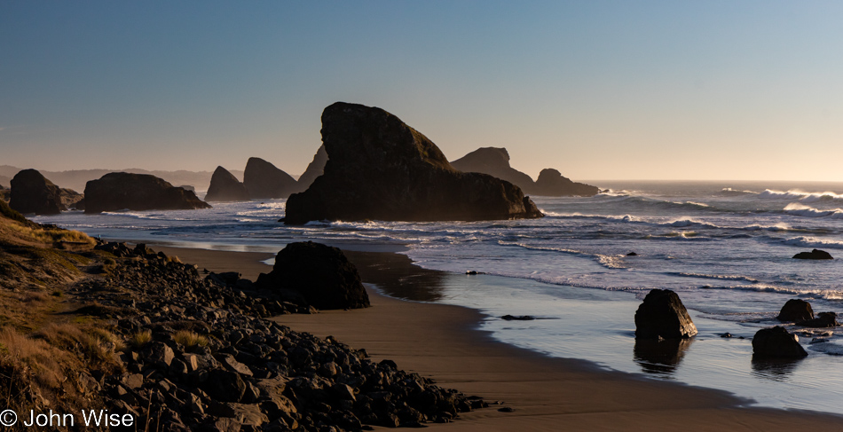
Meyers Creek Beach in Gold Beach, Oregon

Until next time, Shark Fin, it’s been great.
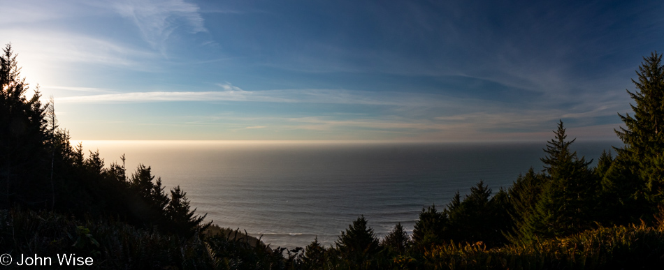
Cape Sebastian Trail in Gold Beach, Oregon

There we were, driving north as though we were doing so with purpose when, not even two miles away from our last stop, a steep road up a hillside on my left seemingly demanded that I pull a quick U-turn to investigate. Why hadn’t the Cape Sebastian sign caught our attention before?
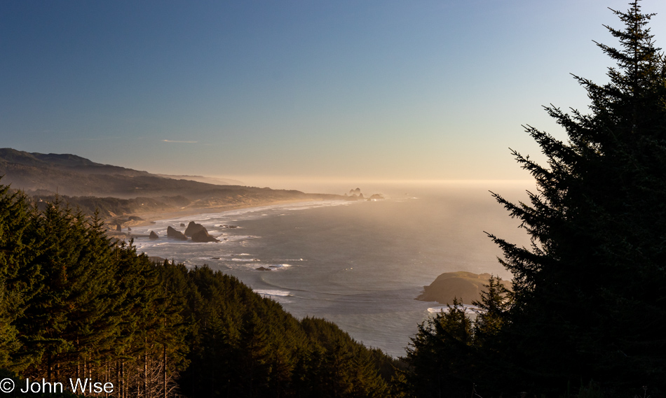
Cape Sebastian Trail in Gold Beach, Oregon

Seeing how we are now up here, we should check out what is down the hill, not this way but the one in front of us.
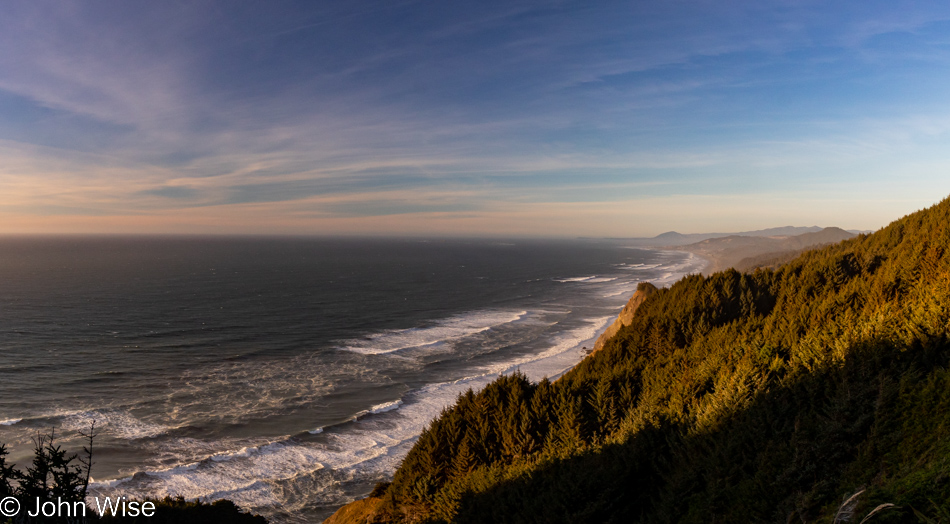
Cape Sebastian Trail in Gold Beach, Oregon

Nope, this is the view to the north, but in a second, you’ll know what I’m speaking of.
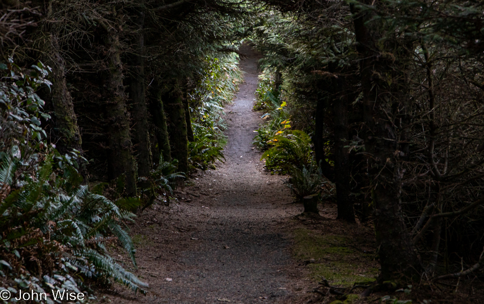
Cape Sebastian Trail in Gold Beach, Oregon

This is the trail I wanted to bring your attention to.
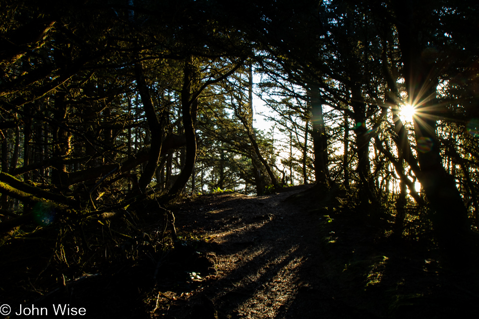
Cape Sebastian Trail in Gold Beach, Oregon

It apparently brings us out to the edge of Cape Sebastian.
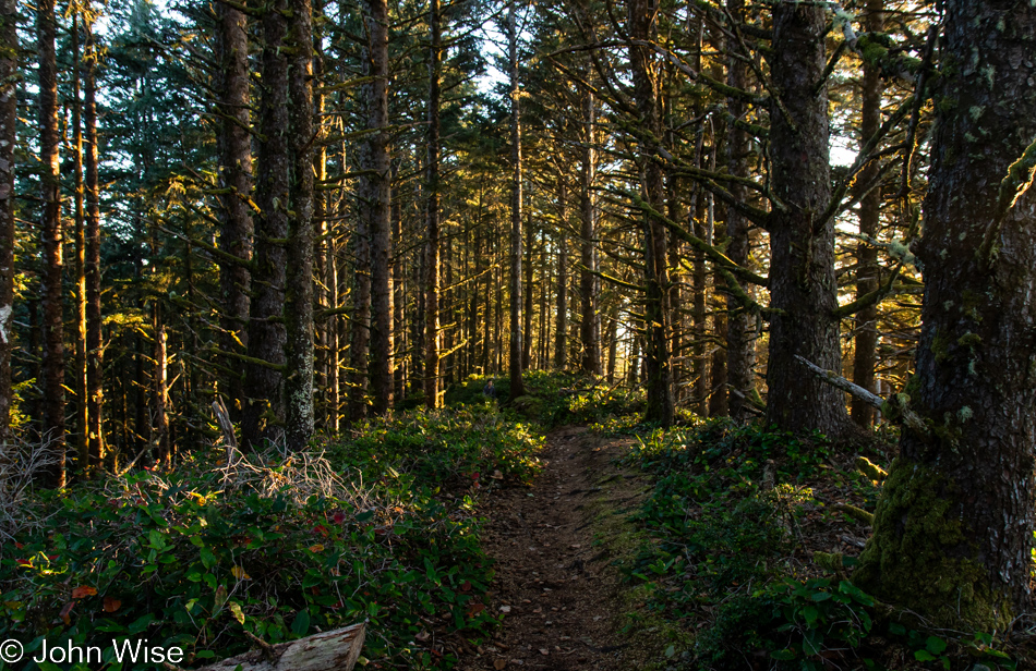
Cape Sebastian Trail in Gold Beach, Oregon

Where exactly it’s going is uncertain as there was no trail map at the parking lot, and at this moment, we’ve not passed anyone else who can tell us anything more about where we are. Checking our phones is not an option as we have no signal.
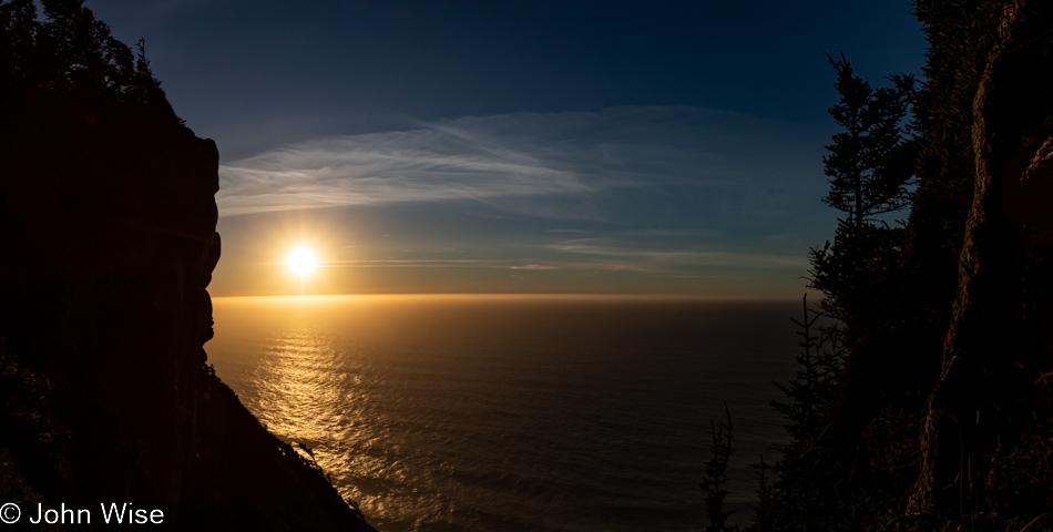
Cape Sebastian Trail in Gold Beach, Oregon

If this were as far as we’d been able to go, it would have been worth every moment and more. Around this time, we’d met a couple coming at us on the trail, and we asked how far they went; they’d gone all the way to the beach but warned us it was too late to try that as it would certainly be dark by the time we got back to where we were talking with them. Something to come back to.
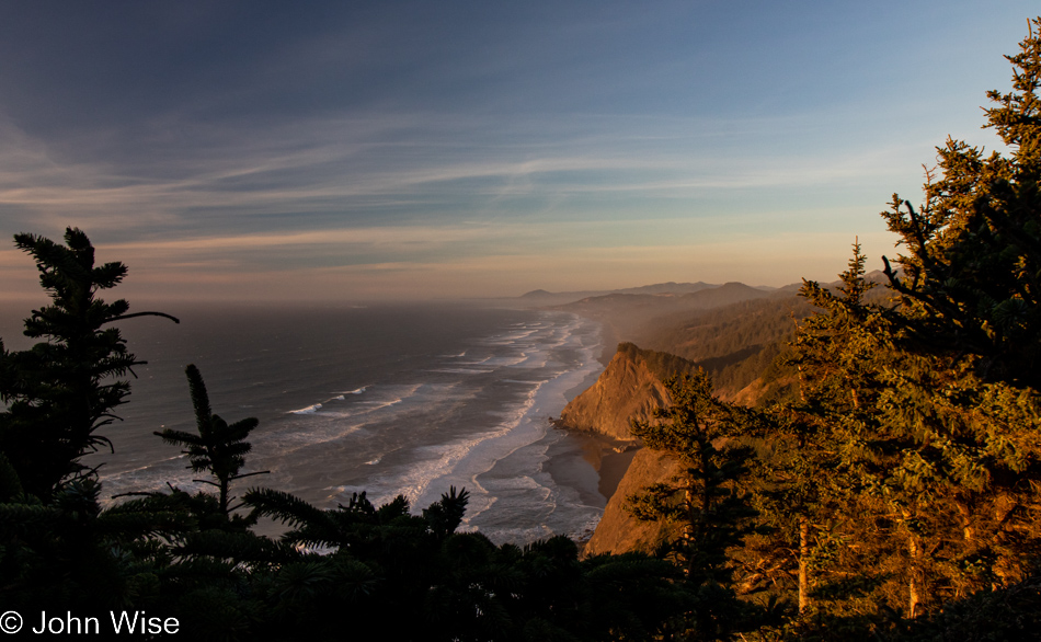
Cape Sebastian Trail in Gold Beach, Oregon

With that, we turned around for our walk back through the forest until we found a slightly different view north.
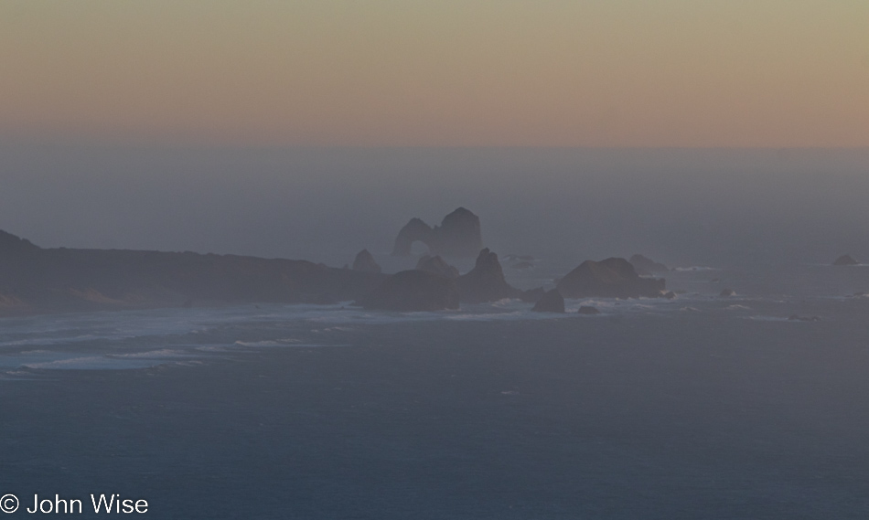
Cape Sebastian Trail in Gold Beach, Oregon

In the distance to the south, way out there, that’s Arch Rock.
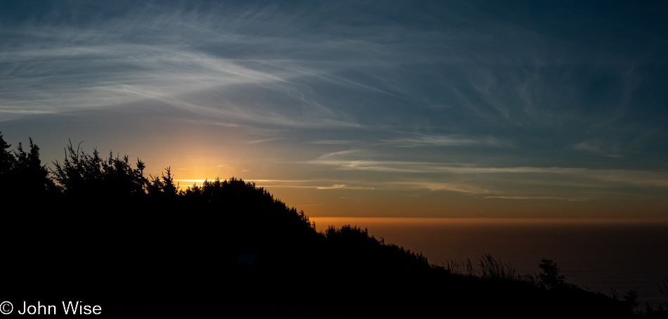
Cape Sebastian Trail in Gold Beach, Oregon

Back at the Cape Sebastian parking lot and ready to tackle the last 65 miles to the evening’s yurt accommodations.
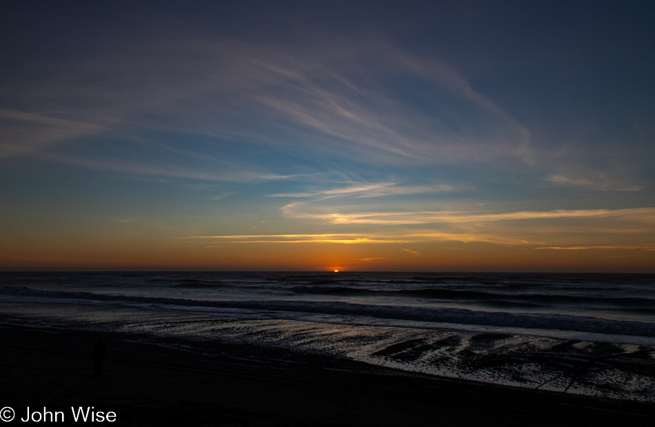
Visitor Center Beach at Gold Beach, Oregon

We’ll still have 60 miles left after this “last” stop, but who could blame us? We’ve stopped at the Gold Beach Visitors Center, which appears to be the name of the beach, but that can’t be.
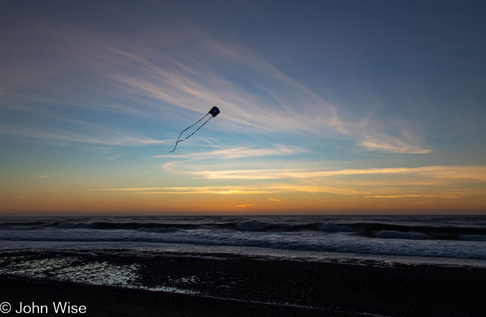
Visitor Center Beach at Gold Beach, Oregon

While I busied myself photographing the last moments of the setting sun, Caroline quietly pulled out Happy McKiteface and threw it aloft before I could protest. With that smiling face beaming at her new kite high above the beach in the fading light of day, there was no way I was going to rain on her moment of finding yet more joy.
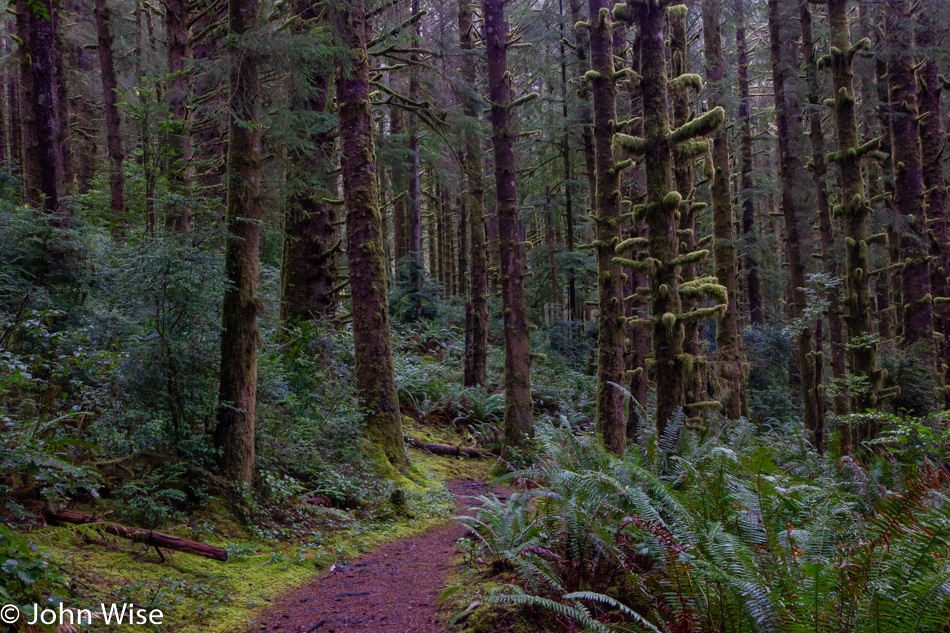
Oregon Coast – Day 3

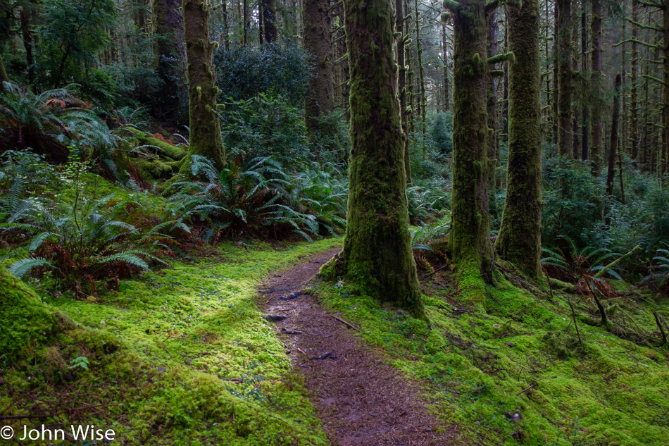
Long fall nights and short days in the cool climes of Oregon make for some serious, cozy sleep as we consistently fail to wake up with the sunrise. Being in a yurt requires you to bring your own bedding and so having our feather blanket and pillows from home only adds to the comfort, making it easy to sleep in. Another contributing factor is that we are in a darkened forest and use the justification that there’s not enough available light to take photos, so we may as well stay cozy and warm. By the time we finally emerge from the yurt, we are already packed up and have had a bite to eat in preparation for exploring the familiar trail awaiting our visit. We know this routine as everything that is going on this morning has been done before; we are well-practiced. Our next steps take us out on a loop trail that heads into this most southerly of temperate rain forests here at Carl G. Washburne Memorial State Park.

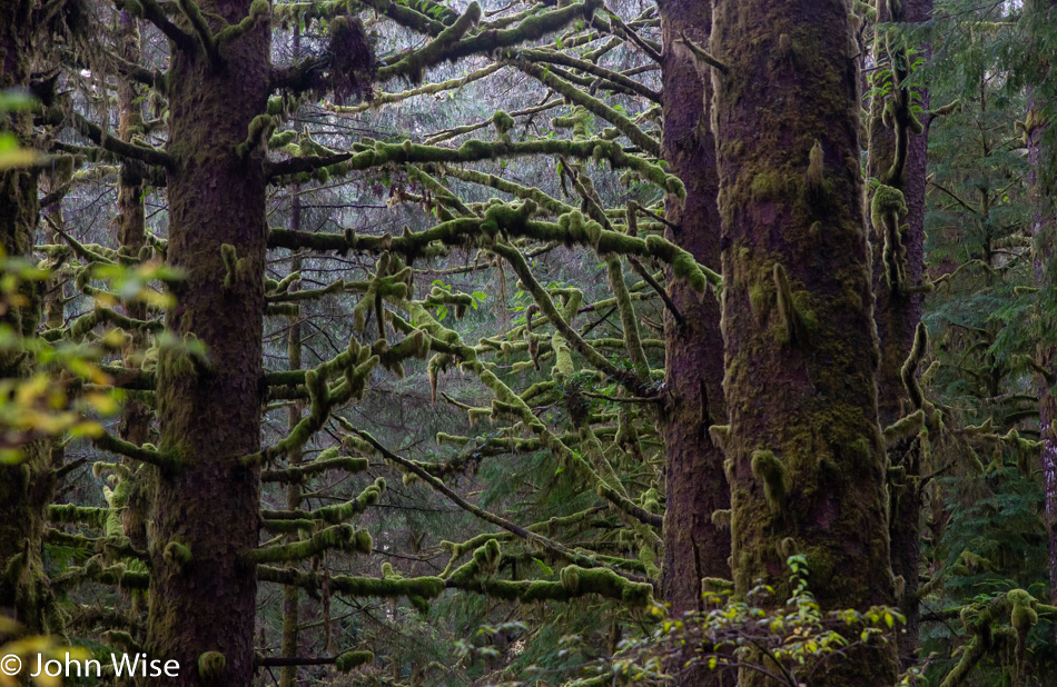
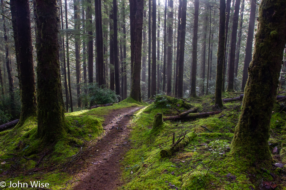
Trying to find something new to say about this trail will probably take my words down the path of those already written here more than a few times. Talking of the quality of light, the shades of green or dew-covered mosses are now well-worn tropes I will have to revisit unless I can find some other angle to deliver how they talk to me on yet another trek through their home.

Maybe our visit is more like small talk made with an old friend where you needn’t say anything in particular but simply walk through old memories, reminiscing about the warm thoughts you keep around. Caroline and I rarely actually talk with one another here in this forest, as we are both intent on hearing every detail that makes itself available. From the trickling streams to water dripping off the lichen upon the ferns below, we listen. Occasionally, a bird offers a quiet call, and we strain our ears to hear if another bird in the distance answers. Sometimes, I stand especially still, hoping to catch the sound of a mushroom breaking out of the earth or maybe a newt stepping gingerly over the damp forest floor.

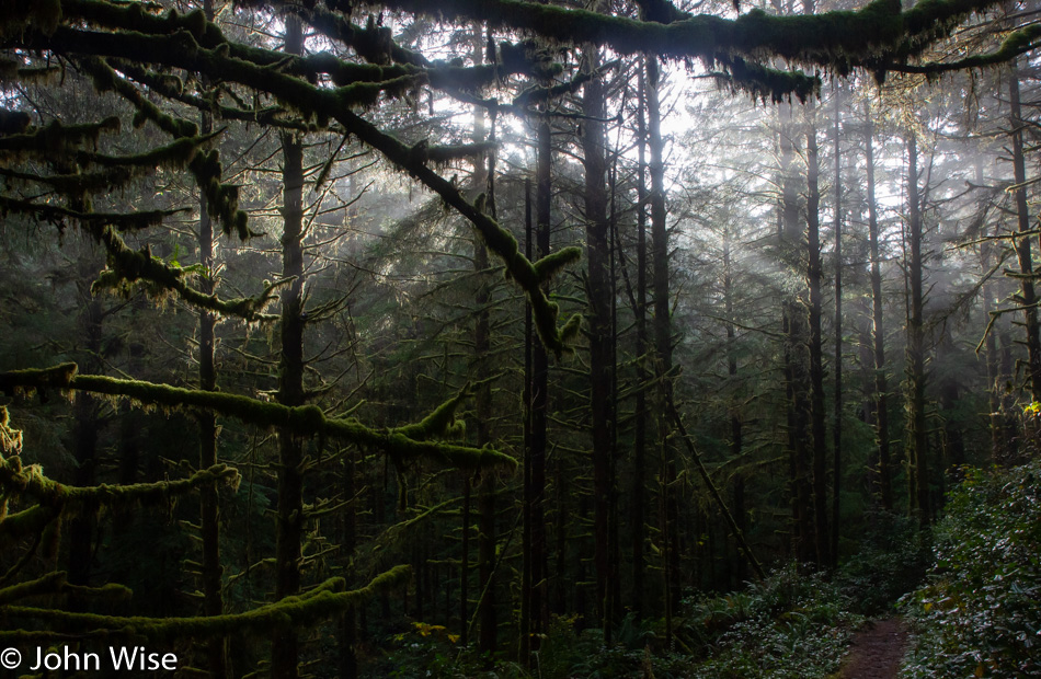
The sun enters silently, though its light screams vibrantly through the mist, delivering god rays upon areas of the forest that seem to receive direct sunlight only rarely. We look into that light flirting with blindness as subtle rainbows on the edges of the rays can be seen from just the right angles. When a mushroom or particular patch of undergrowth is the beneficiary of the fleeting light show, we scramble over to see the magic of momentary full illumination and once again exclaim our incredible good fortune at being here.
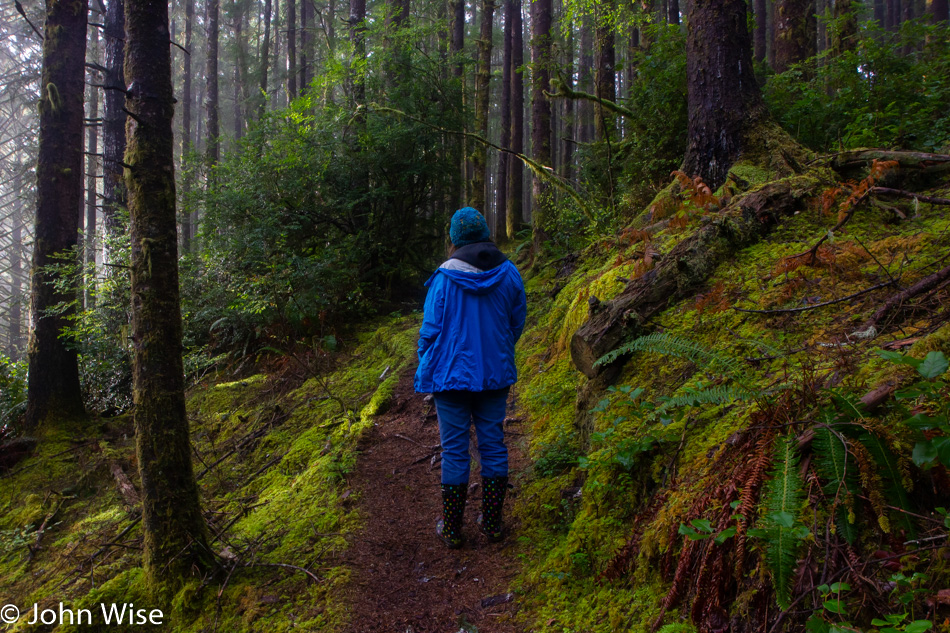
This is a common pose on the trail; we call it “imitating trees.”

We are lucky to be out here early in the chilled morning before others start down this trail. I cannot tell you that they are as observant of this pristine forest as I believe we are. We’ve heard people in the distance who are apparently trying to be the apes of the forest, letting their call be heard in order to establish primacy through loud vocalizations. Others bring their dogs and must be oblivious to their barks or believe the noise is keeping bears at a distance. These acts of serenity pollution only work to spoil their visit by ensuring they miss fully half the experience of being in such a beautiful place. Too bad this isn’t called a church or hospital as I believe then they would at least make some small attempt at being respectful.

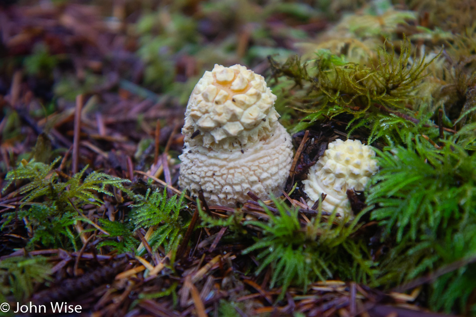
No matter the number of times we’ve visited Carl G. Washburne, we’ve seen something new; even the old feels new. This mushroom that looks crocheted to Caroline is one of those new things. As for the old things, we are content to not only be such ourselves but have thoroughly enjoyed our time among the others.

From this favorite spot, nearly in the middle of the Oregon coast, we continued our drive north, stopping in Newport for some lunch. The Newport Cafe was once again chosen, though this time, we opted not to up the ante and go for the 8-pound burger. Though I worked hard on trying to convince Caroline that the photo opportunity alone would make it worthwhile. Instead, it was time for an oyster sandwich for her and a seafood scramble for me. Even though we had coffee with our lunch, we still had to stop at Dutch Bros. for yet more coffee because Oregon demands that you always drink more coffee.

Our destination tonight is the most northwestern point in Oregon at Fort Stevens State Park, and so that we don’t have to drive a lot under dark skies on narrow, twisting cliffside roads, we try to get serious about moving ourselves along. We didn’t get far before we spotted the pull-off for Siletz Bay National Wildlife Refuge we’ve passed many times, but today, we stopped.

Every time prior to heading up the coast, there’s a feeling that we’ve seen the majority of what’s to be seen. Then, once we arrive and start looking deeper at the landscape, we discover places that we’ve been aware of and are even somewhat familiar with, but we realize that we’ve never properly gotten out and spent time there. The trail map shows us the best way to witness Siletz Bay, traveling by small boat. Unfortunately, we don’t own kayaks, nor do we know where to rent them nearby, so we’ll have to be happy to walk the short trail around Alder Island.

Alder Island is undergoing a restoration in what looks like an attempt to save the shore from disappearing into the wetlands. When we pulled up to the small parking lot there was one other car here, but there’s been no sign of others. Maybe they had a canoe with them and were somewhere out on the looping waterway?

If only Caroline and I could figure out a way to eke out a living here on the coast we could call this home. Time to hit the road again.

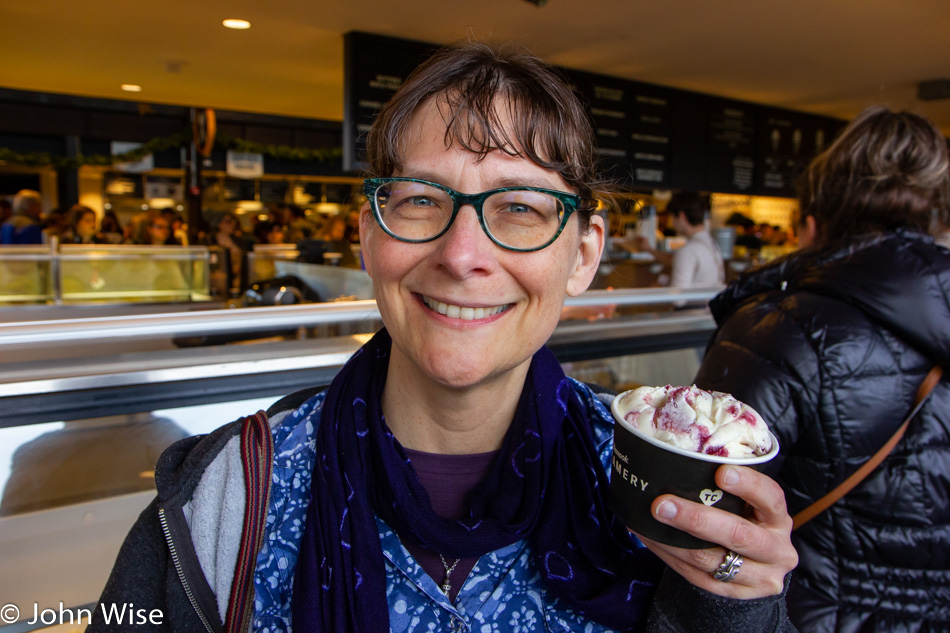
That stop at Siletz wasn’t our last one. We had a date with the Tillamook Creamery and their newly finished supersized visitor center. While others stop for a factory tour or maybe to load up on some cheese, Caroline had her sights set on a scoop of Marionberry Pie ice cream. Note to management: she’d prefer you leave the pie crust chunks out of the ice cream and focus on the marionberry.

After checking into our deluxe cabin at Fort Stevens State Park, we drove into Astoria for some dinner. Our first choice proved too laden with darkness combined with a limited menu, so we headed over to a little Bosnian place called Drina Daisy, where we split a rotisserie roasted lamb plate for two. A quick stop at Fred Meyers because we didn’t bring towels, and we were once again in the super dark forest ready to write and knit. Well, that lasted maybe an hour before we were lulled to sleep by the serenity of the woods and nearby ocean.

Ash Meadows

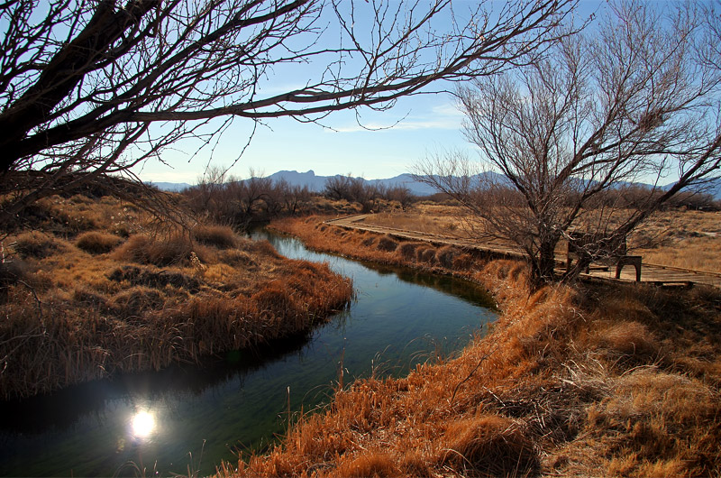
Ash Meadows National Wildlife Refuge in Amargosa Valley, Nevada showing off its golden winter colors waiting the return of the green of spring and summer

On our return home, we traveled east out of Death Valley, driving towards Amargosa Valley in Nevada so we could make a second visit in five years to the Ash Meadows National Wildlife Refuge. I, for one, was surprised by the golden, lifeless landscape; suppose I had forgotten that winter has this capability. While I was initially disappointed by the contrast to our first visit, the longer we walked along the spring-fed stream that feeds these wetlands in the middle of the desert, the more enamored I became with the meadow’s winter beauty. The nearby Devils Hole, a small part of Death Valley National Park lying outside of the main park boundary, was also on the itinerary, but a long drive home and a late start had to leave our return visit to the Devils Hole pupfish for a future trip.

Last Day of the Year

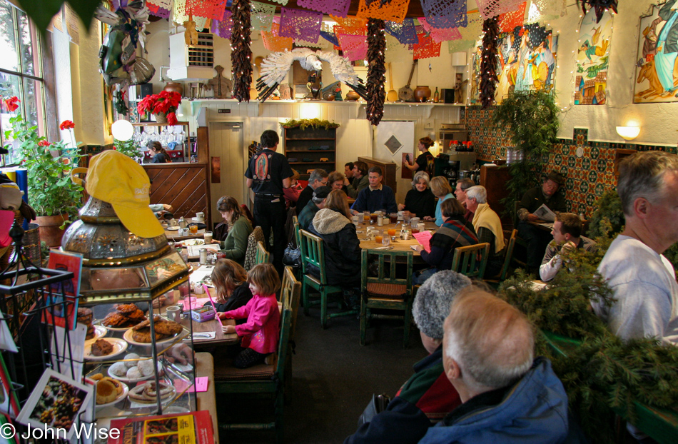
Cafe Pasqual's in Santa Fe, New Mexico

Cafe Pasqual’s here in Santa Fe, New Mexico, was where we were supposed to have dinner last night, but the weather had other plans for us, so it goes. With so much ice and cold in town and not wanting to encounter more snow before the day is out, we’ll be leaving far earlier than planned. As for Pasqual’s, breakfast can be breakfast, but it’s their exquisite New Mexican cuisine at dinner that draws us in, maybe another time.

Interstate 25 heading south in New Mexico

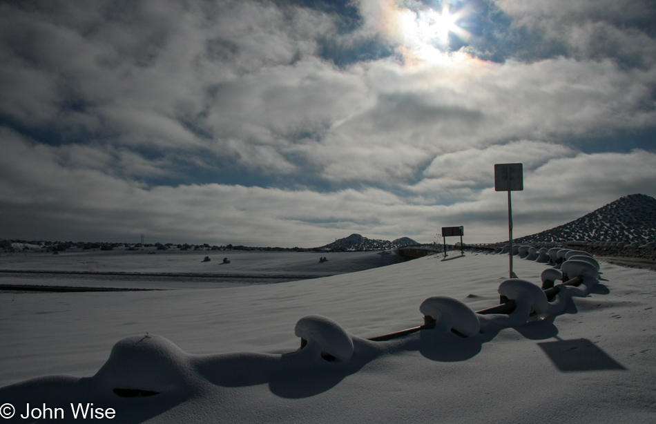
Snow mushrooms dot the highway as we make our way south.

Interstate 25 heading south in New Mexico

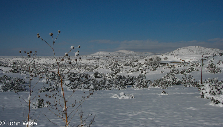
I wonder if people who experience this snow thing every season are as enchanted by it as Caroline and I are. I can admit that New Mexico is right on with its state motto, The Land of Enchantment.

22 Degree Sun Halo near Albuquerque, New Mexico

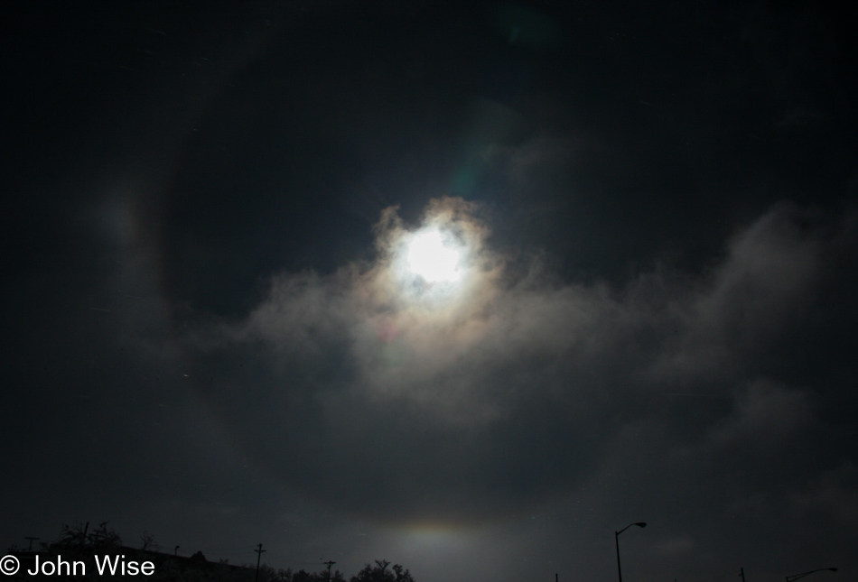
Approaching Albuquerque, we entered a heavy patch of fog, but as we emerged, we were greeted by this spectacular 22-degree sun halo. Not wanting to stop on the freeway to take a proper picture, Caroline grabbed the wheel, and I threw the camera out of the window into the freezing air to snap a couple of shots. This is the one that turned out okay.

Interstate 25 heading south in New Mexico

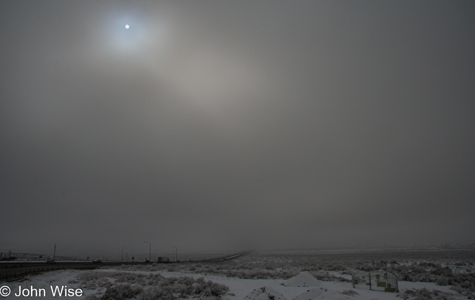
With the sun being blotted out you can bet my nerves grew brittle at the thought I might have to drive while it’s snowing. In Phoenix, most of us do poorly when it starts raining.

El Camino Family Restaurant in Socorro, New Mexico

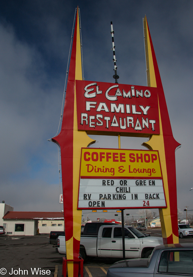
I’ve probably said it a thousand times before, but one can never grow tired of El Camino Family Restaurant. Normally, there are colorful spheres on the center spire in the top middle of the sign; I wonder why they are gone.

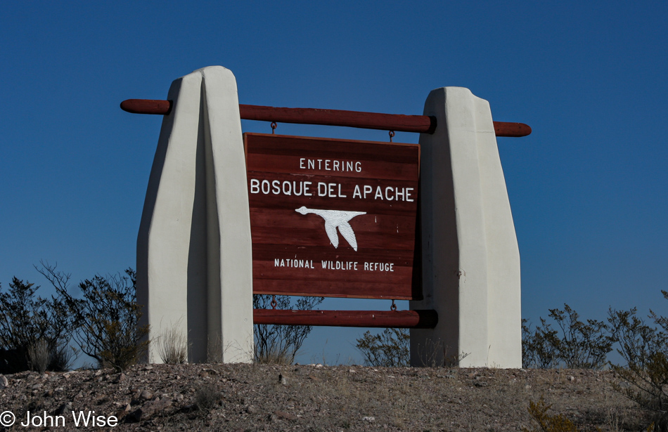
Bosque del Apache near Socorro, New Mexico

Good fortune remains on our side as the weather cooperates for this earlier-than-expected visit to the refuge; we weren’t supposed to arrive until tomorrow morning.

Bosque del Apache near Socorro, New Mexico

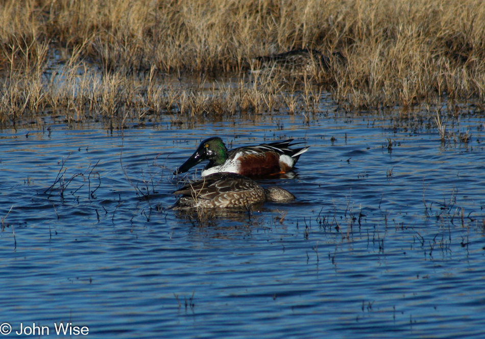
That’s a Northern Shoveler duck. This aquatic cutey with the spoon-shaped bill has a great scientific name, the Spatula clypeata.

Bosque del Apache near Socorro, New Mexico

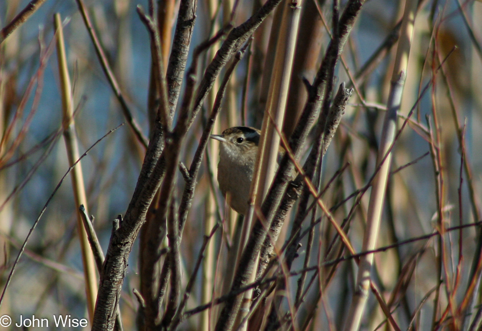
If we were real birders, we might be able to tell you what kind of sparrow this was, but I can’t find precisely what type it is, so it’s just a sparrow for now.

Bosque del Apache near Socorro, New Mexico

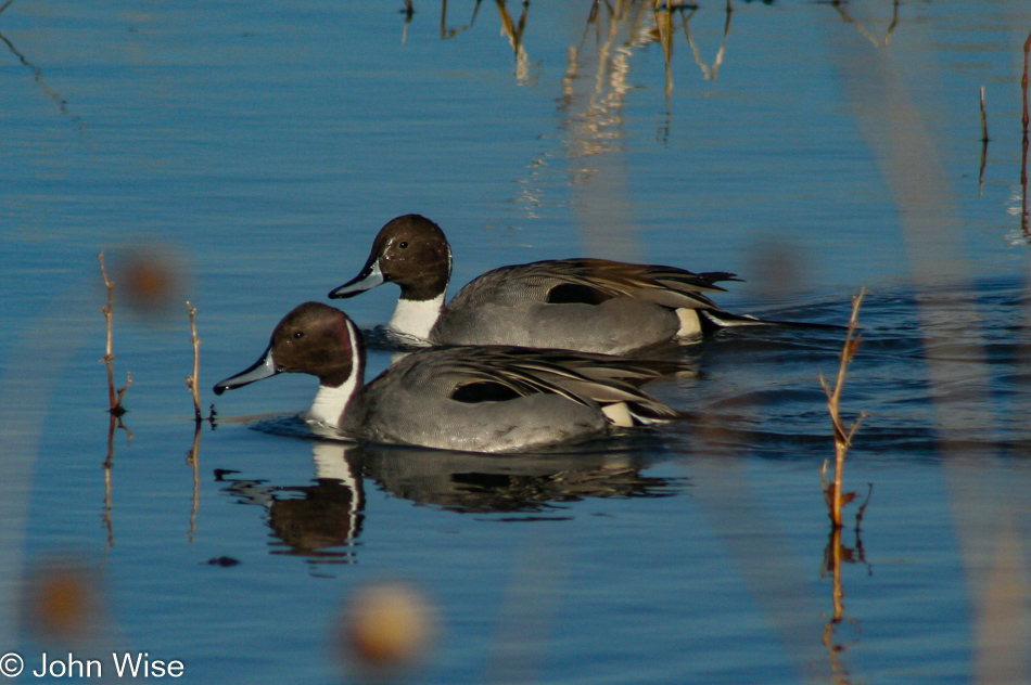
The Northern Pintail duck just doesn’t give a …

Bosque del Apache near Socorro, New Mexico

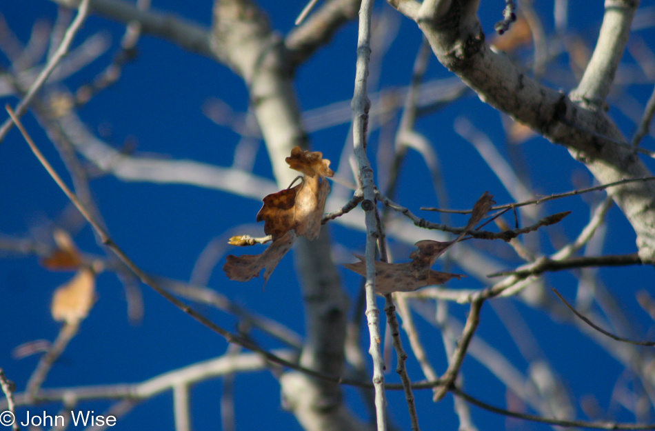
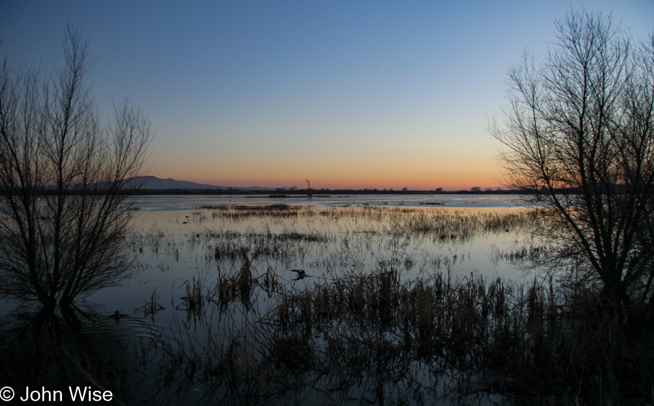
This nearly lone leaf, still clinging to its branch, shivers in the cold air here at the Bosque del Apache National Wildlife Refuge, where we are spending the last day of the year and the first day of the New Year.

Bosque del Apache near Socorro, New Mexico

The idea of drinking ourselves into a stupor, ending a year in a haze, and beginning the next feeling as though the past year smacked you upside the head is peculiar to me, to say the least. My New Year resolutions are simple: every day is a holiday, see something beautiful at least once a day (besides my wife), and help as many people as I can in whatever little way that might make their day, an hour, or minute just a bit better.

Bosque del Apache near Socorro, New Mexico

We must be doing something right by the universe as we are yet to have a bird poop on us. Karma.

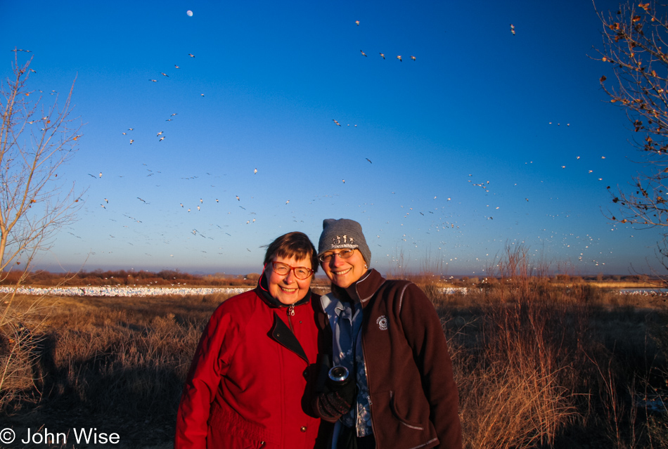
Jutta Engelhardt and Caroline Wise at the Bosque del Apache near Socorro, New Mexico

Here we are on the last day of the year, ending on a beautiful note with the hope that tomorrow begins in beauty, too.

Bosque del Apache near Socorro, New Mexico

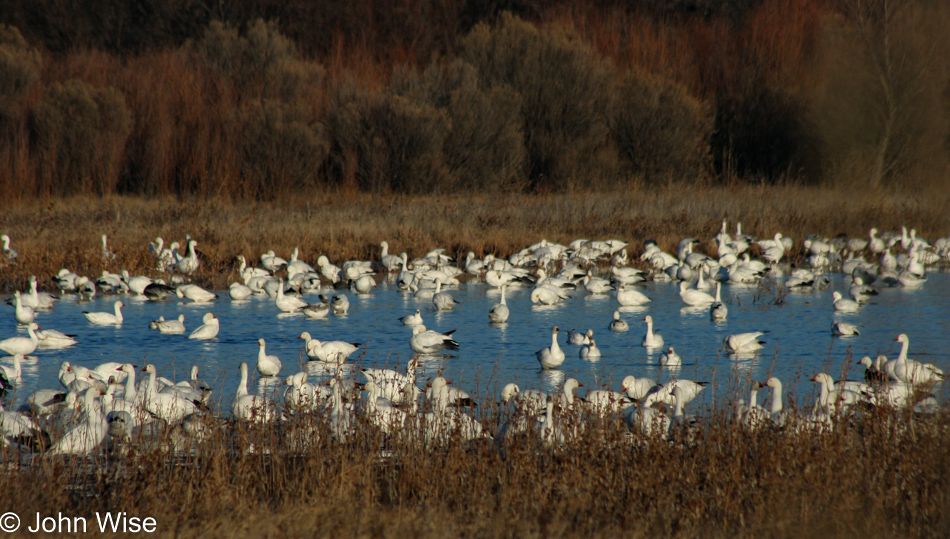
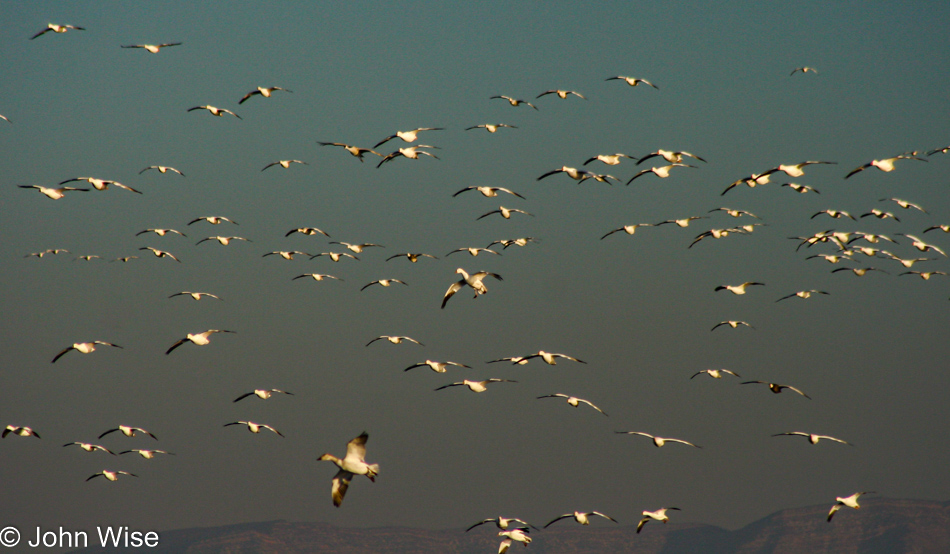
Tomorrow morning, we’ll be standing right about here for some aviary fireworks.

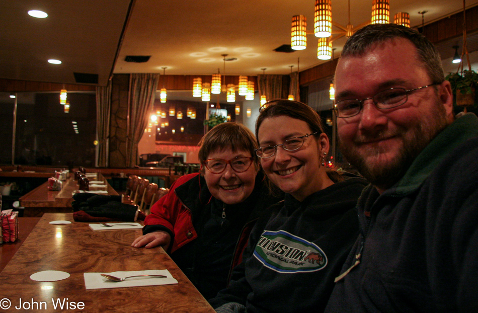
Jutta Engelhardt, Caroline Wise, and John Wise at El Camino Family Restaurant in Socorro, New Mexico

We could have eaten elsewhere, especially considering we’d eaten lunch here earlier, but I’m not fooling anyone. If we’re in Socorro, we’re eating at El Camino Family Restaurant. Of course, I had the steak Tampico and Caroline the chile relleno plate. I have no recollection of what Jutta had as once at El Camino; I’m blind to the world. This is how we closed out 2006.

Aguila, Bouse, Lake Havasu, Oatman, Kingman

Caroline Wise and John Wise at Hassayampa River Preserve

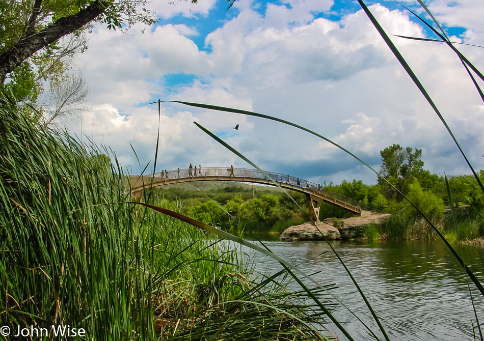
Last week, we passed through Wickenburg and drove right past the Hassayampa River Preserve, but we can only do that so many times to a place before we finally decide that we have to pay it a visit, and so that’s our first stop today.

Hassayampa River Preserve

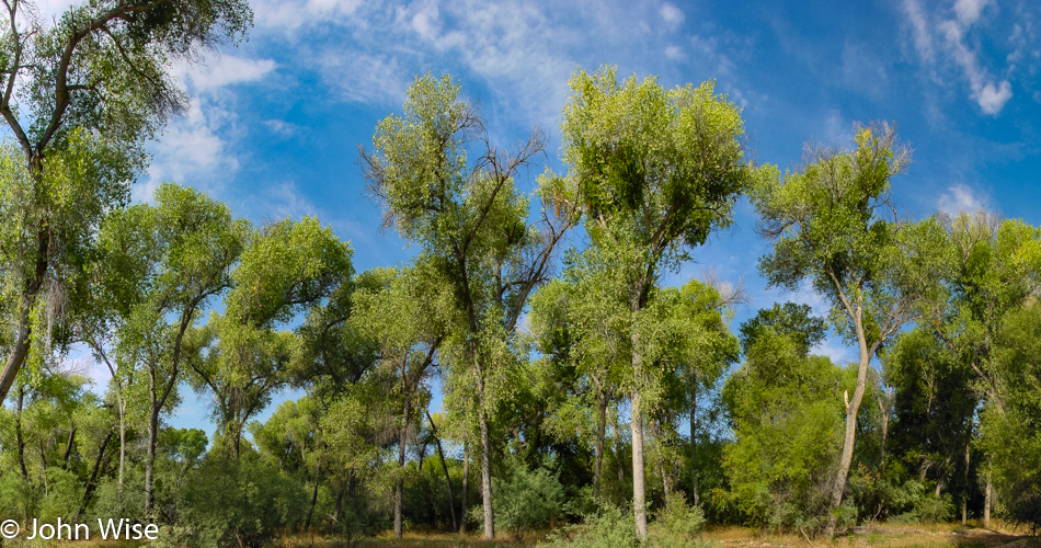
It’s a pretty little oasis here at the Hassayampa.

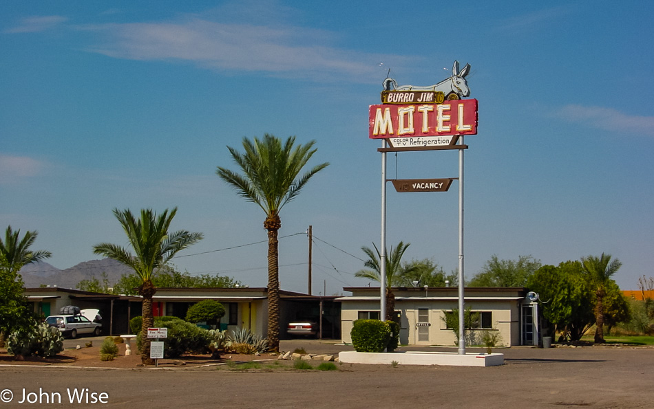
Burro Jim Motel in Aguila, Arizona

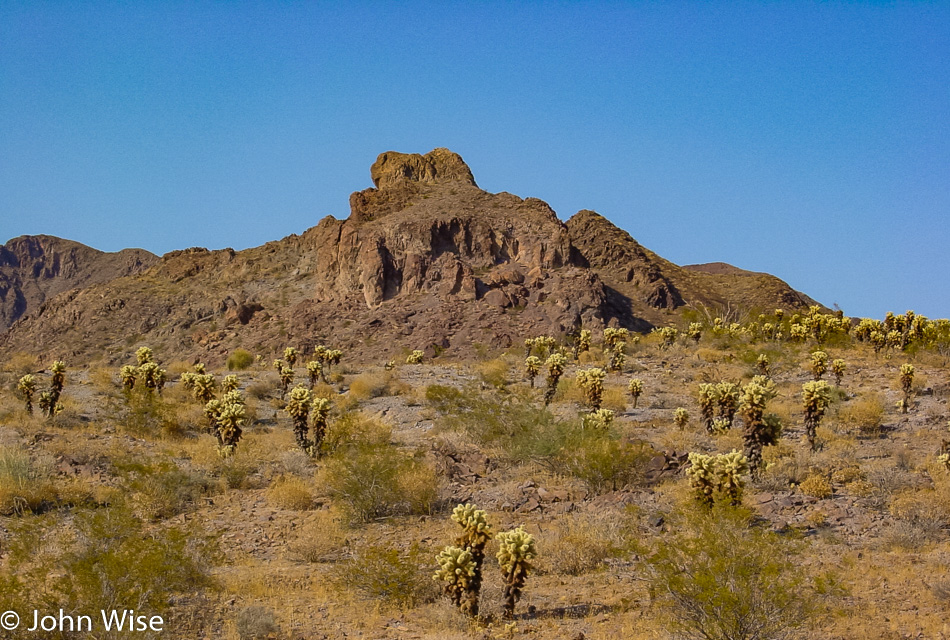
Somewhere between Nothing and Hope, you’ll find Aguila, and unless you are a desert farmer or just someone interested in what stuff and which places are out beyond our purview from the freeways, I have no idea what you’d be doing out here.

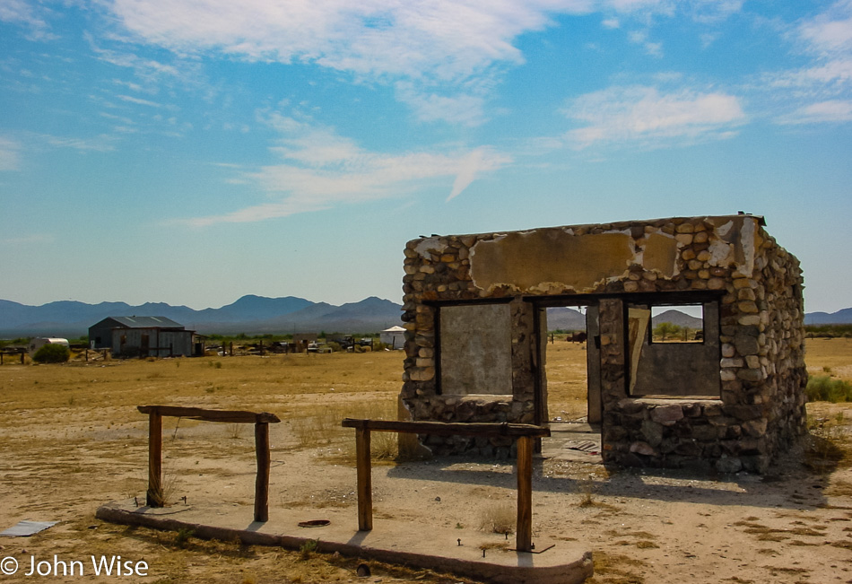
Ruin next to the road between Aguila and Bouse, Arizona

Horse tie-ups still in place. I guess that says something about how long this former establishment has been in ruin. Roadside in Salome, Arizona.

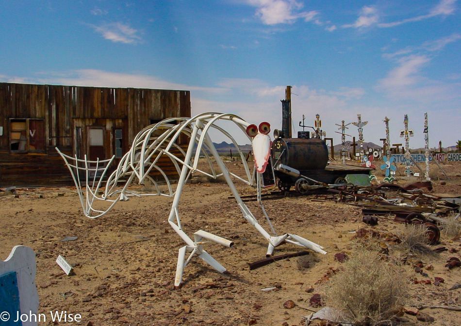
Old Brayton Ghost Town near Bouse, Arizona

Kinda neat little place along the road called the “Old Brayton Ghost Town & Museum.” To visit it, you are put on the honor system, and it is hoped you’ll offer $1 per adult and 50 cents per child to help keep things going. Our loop today is now traveling through Bouse, Arizona.

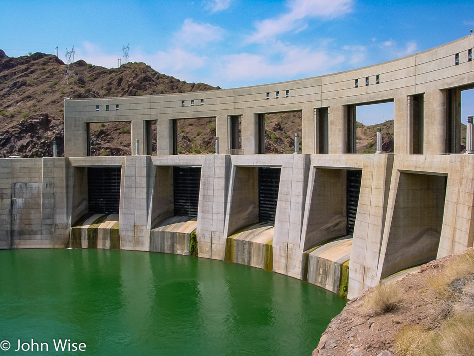
Parker Dam on the California-Arizona border.

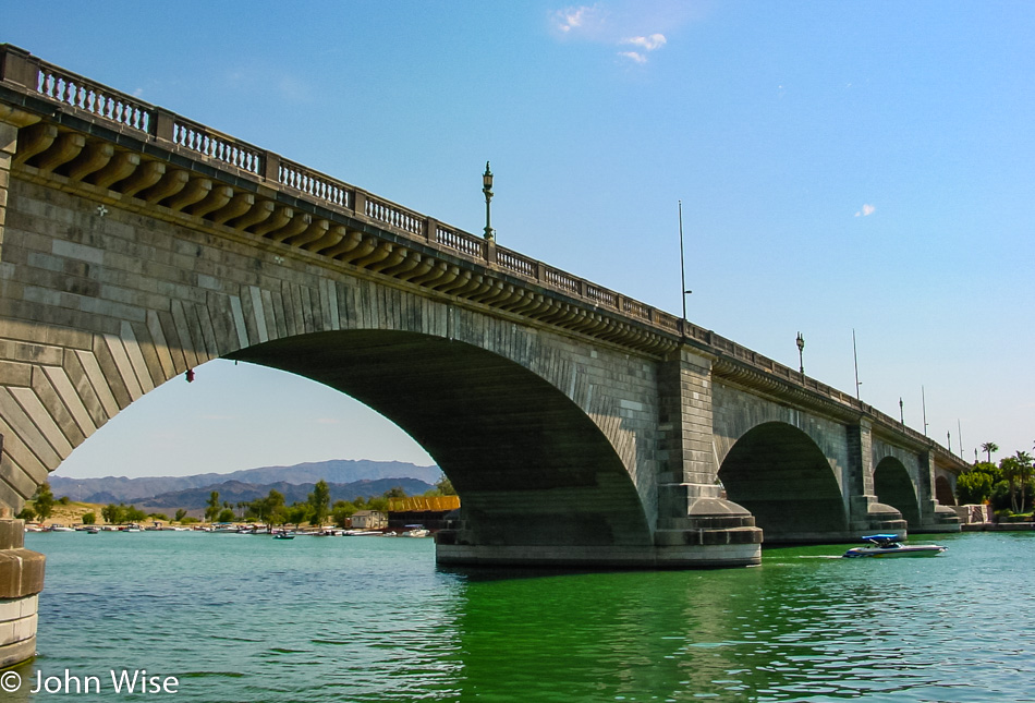
London Bridge at Lake Havasu, Arizona

London Bridge, originally built in 1830, is now about 5,459 miles (8.844 km) from where it first spanned the Thames River. Today, it spans a small channel of the Colorado River to an island that came into being as the Parker Dam backed up the Colorado, forming Lake Havasu.

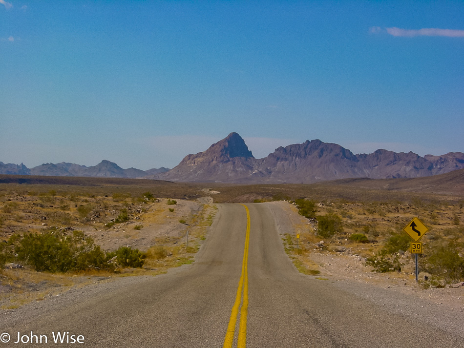
Sadly, we drove right by the Silver Dollar Chuck Wagon restaurant in Topock, Arizona, missing a “broasted chicken” dinner, but we’d just eaten an hour earlier in Lake Havasu. This is old Route 66, which at one time was the main road across the United States for those heading west. Somehow, I can’t imagine being out here in the 1930s in cars without air conditioning and services that were few and far between.

For those who took this road some 70 years ago out of Chicago and before the age of television, how foreign and exotic must this have looked to them?

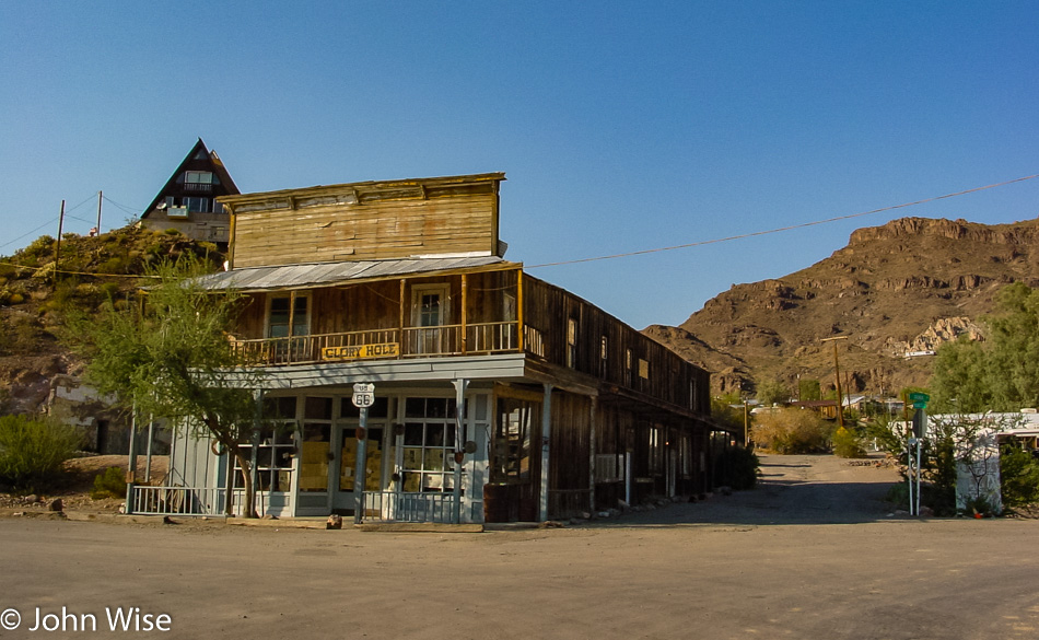
In 1921, much of Oatman burned down, but the Durlin Hotel survived (not pictured). Besides having a population as large as 3,500 due to a gold find back in 1915, Oatman was put on the map after Carole Lombard and Clark Gable got married nearby in Kingman on March 18, 1939, and passed through on their honeymoon. Clark Gable enjoyed the town so much that he would frequently return to play poker with the local miners.

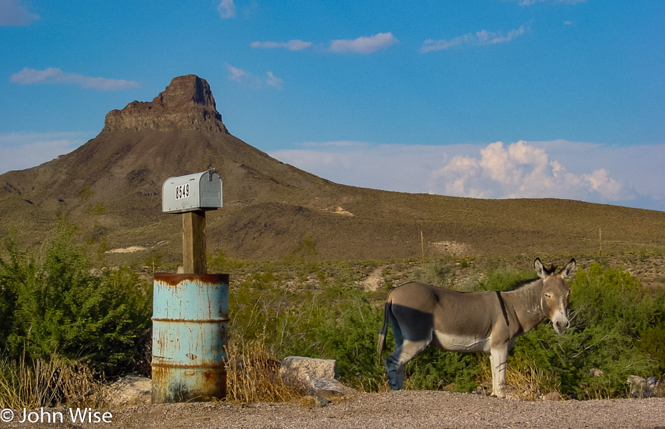
For that authentic Old West look, there should be donkeys everywhere in Arizona.

We are in Kingman and probably not where Clark Gable and his new bride Carole Lombard had dinner (nor did we), but we definitely like the old sign.

And this was the big payoff of the day, a spectacular sunset with crepuscular rays.

Last remnants of the golden fires of the late-day sky as we drive south back towards Wickenburg and Phoenix.

Would this be the last monsoon of the summer season near Phoenix?

Tucson to Tombstone

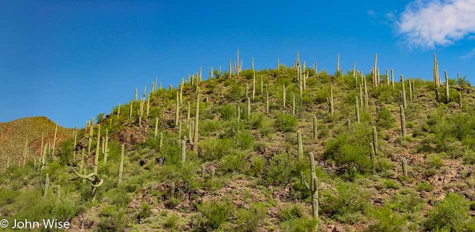
Saguaro Cactus in the Arizona Desert

Another mega-one-day trip into Arizona. We started by speeding south down Interstate 10, zipping past Picacho Peak State Park before stopping to take at least one roadside photo to prove that we were heading somewhere. Blam, there are saguaros, so you now know we are out in the desert and not by the pool.

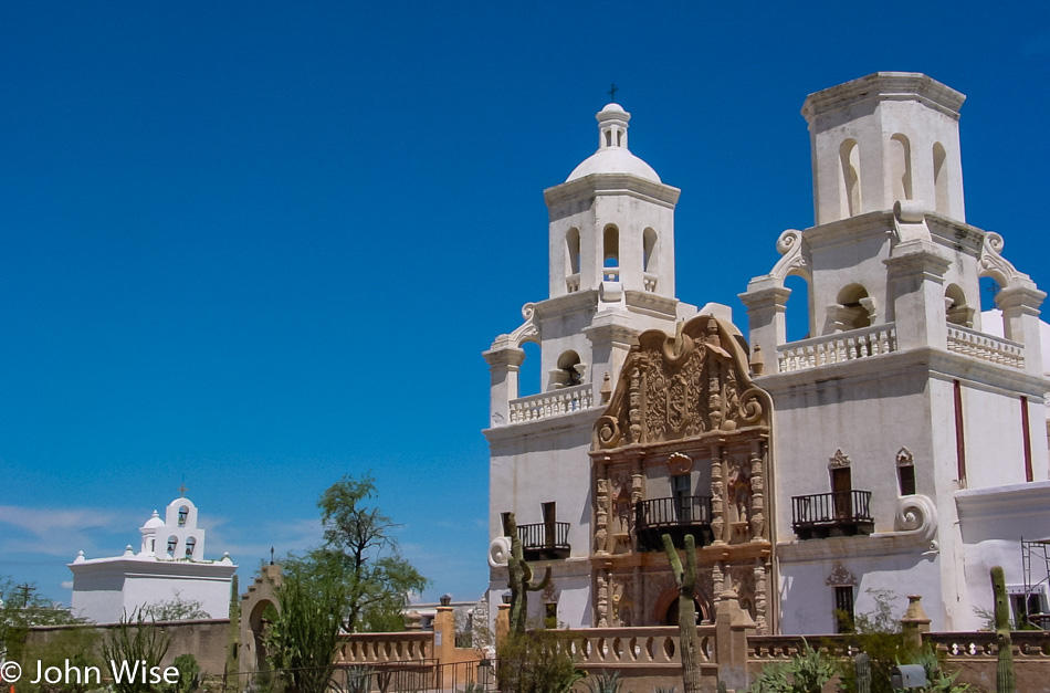
San Xavier del Bac in Tucson, Arizona

Just south of Tucson, we created quite the commotion as we skidded into the gravel parking lot of Mission San Xavier del Bac, said a couple of Hail Marys, and were once again on the move.

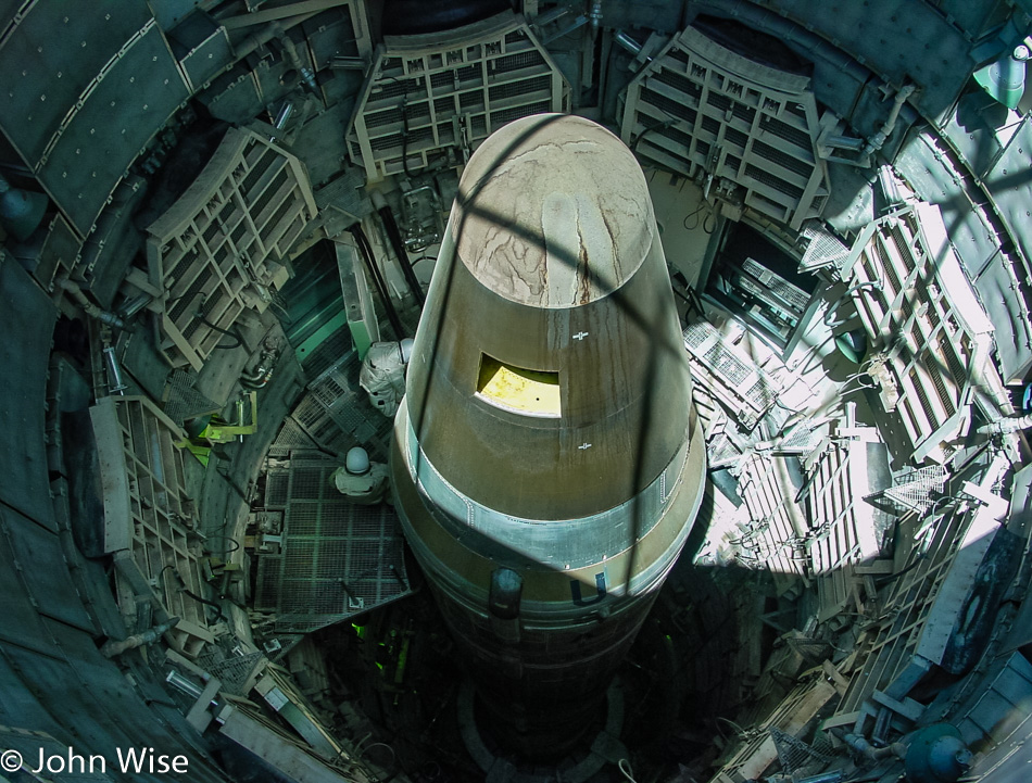
Titan Missile Museum in Green Valley, Arizona

Nothing like some nuclear violence and missiles to go with God, and so it was ordained that we should stop at the Titan Missile Museum in Green Valley and look death in the face.

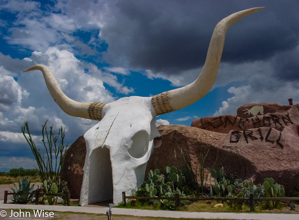
Longhorn Grill in Amado, Arizona

It only gets better when you throw slabs of a dead grilled cow on a plate and dig into the rare warm flesh of a mammal to celebrate that though God, war, and pestilence are all around, we are going out celebrating life while the stars still shine, the sun burns brightly, and God has not smitten me for my nearly blasphemous musing at his expense. Sadly, we did not eat here at the Longhorn Grill in Amado, even though it was our second time through.

Southern Arizona

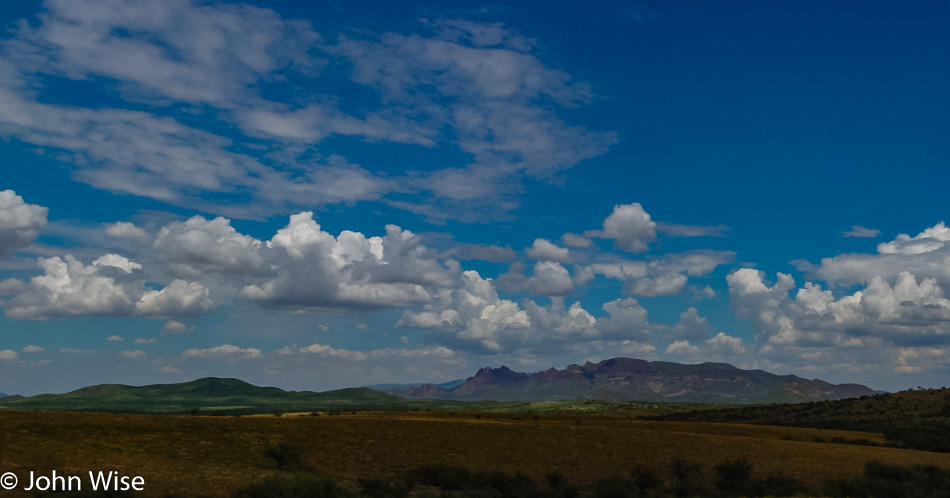
Across the desert landscape, we search for more debauchery or water, whatever we find first.

Patagonia Lake, Arizona

Drats, we found water first here in Patagonia, which I thought was in Chile, but that’s what the sign said.

Dirt trail through a stream bed in southern Arizona

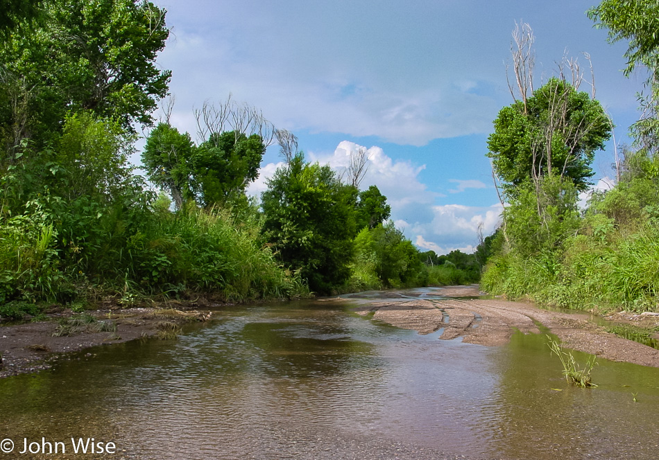
No road or creek will be missed on this trip that plans to take in all of Arizona today. This is the Buenos Aires National Wildlife Refuge, and I can assure you that no fish were killed in this river crossing, though the frog I hadn’t seen crossing the stream at the same time we were now has a crippled leg.

Bisbee, Arizona

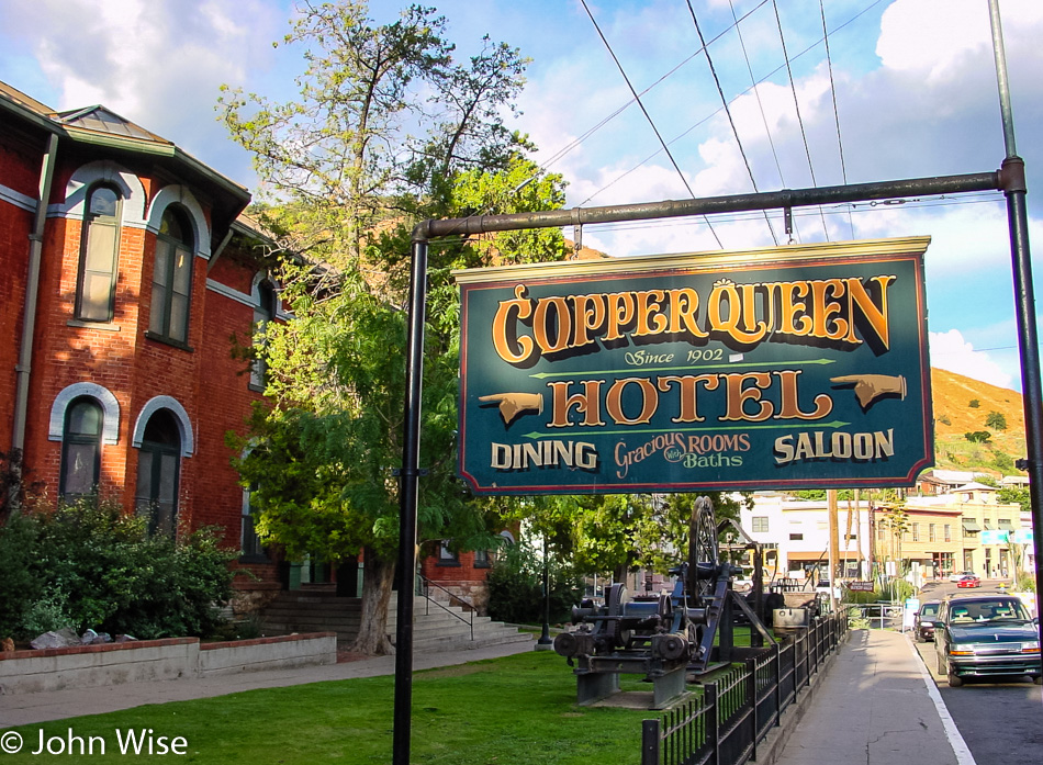
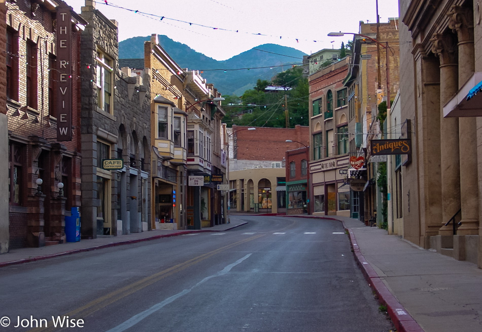
Ahhh, Bisbee! An old favorite we’ve been to with my parents back in 1995, then again with Jutta just last year, and now here we are again, probably starting to annoy the people of this mining town with our near-constant presence.

Bisbee, Arizona

Then again, there is nobody here to bother, so why worry?

Bisbee, Arizona

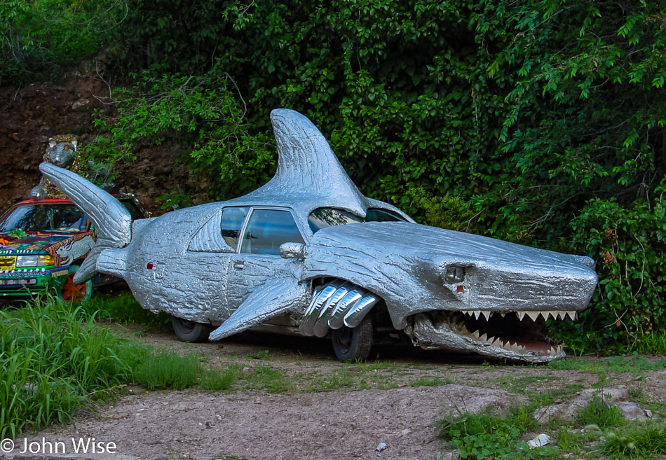
I’ll tell you why you worry because this crazy town of Bisbee has shark cars, and anywhere a shark car is street legal; it must mean one thing, violators of the rules or unwanted vermin are quickly eaten and pooped out the tailpipe; end of the story.

Tombstone, Arizona

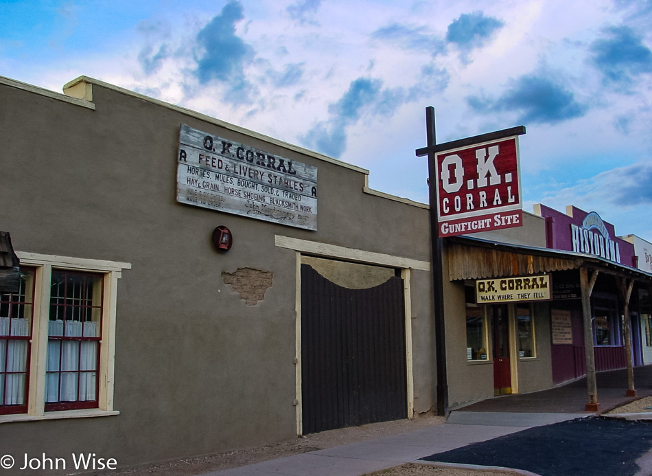
Next door to the O.K. Corral in Tombstone is the phone booth that Clark Kent used to become Superman. Yep, we are driving north again after having bumped into Mexico by Bisbee, but we’re good now as we slingshot upwards, certain to hit the Grand Canyon before sunset.

Tombstone, Arizona

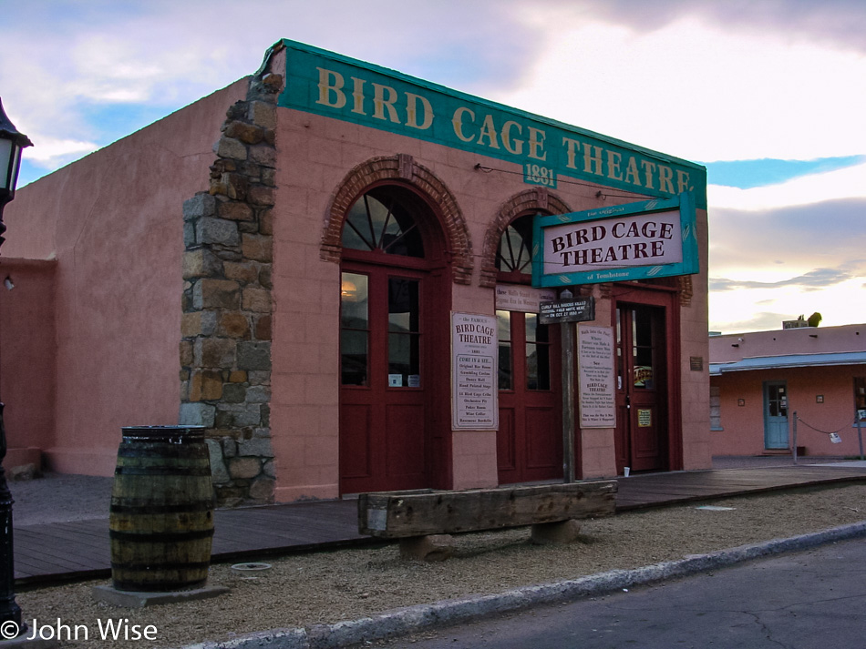
Damn, we got caught up at the Bird Cage Theatre watching some old-timey burlesque, though I’m not sure poles were part of the act way back when. After all that hot dancing action, I had to visit the local Tombstone brothel, which turned out to be a bummer because the last bordello closed in 1946, which is so unfair! See if I ever come back.

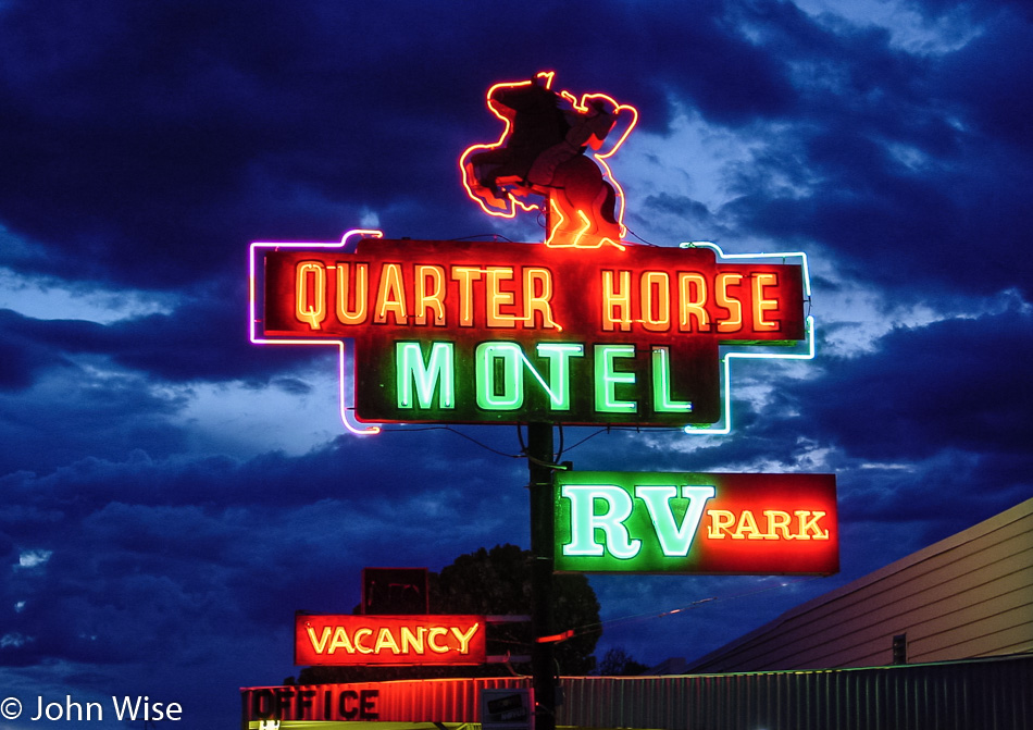
Quarter Horse Motel in Benson, Arizona

I didn’t even get to tell you about exploring the rest of Bisbee, walking around Tombstone and checking out Boothill Graveyard, visiting the town of Patagonia, or some of the other stuff we saw at the Titan Missile Museum or in the Wildlife Refuge. And now it’s 7:30 p.m., and we’re only passing through Benson (but had to stop to take a photo of this great neon sign in front of a dramatic sky) and won’t even be back in the Phoenix area before 10:30 p.m. Next time, we’ll have to leave around 4:00 in the morning or not dawdle as much along the way. By the way, this is how we spend a random Wednesday. I wonder what we’ll do for an encore on the weekend?

America – Day 19

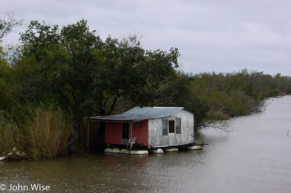
Old house on the bayou in Louisiana

We’ve traveled from the desert over the Great Plains into the Great Lakes region before taking in the New England states down along the Chesapeake Bay and then dropping into Appalachia, the South, and now Bayou country. From a Sod House in Kansas to the White House in D.C. to this floating house in Louisiana.  While one is moving through these environments, it’s hard to register just how dramatic the shift in the landscape and cultures has been.

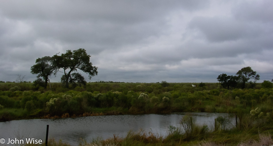
Creek in rural Louisiana

A bit of fatigue has started setting in and the thought of returning to our bed becomes more appealing. One thing that has become abundantly clear while we’ve been out here is that we want to see it all over again and visit the points in between that we have yet to explore. Before I veer too far out of the moment analyzing this journey, I suppose I should continue with the day at hand.

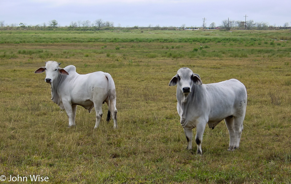
This was our first encounter with Brahman cattle, and we were struck by how incredibly beautiful these animals are. If they weren’t so enormous, I’d want to jump into their pasture and go ruffle those floppy ears and snuggle their furry, soft-looking necks.

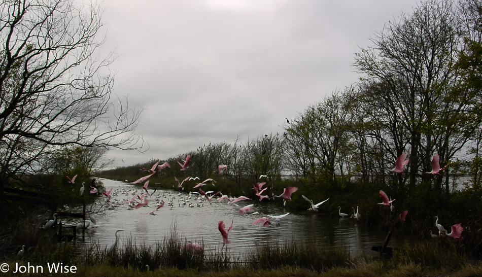
Pink flamingos in Louisiana

To my untrained eye, I initially thought these were pink flamingos, but it turns out that they are roseate spoonbills. Well, that’s even more exotic in my book of experiences. Whoever heard of spoonbills anyway?

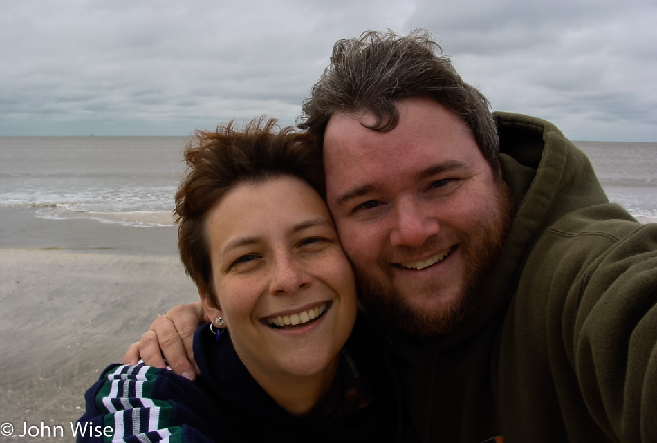
Caroline Wise and John Wise on the Gulf coast of Louisiana

Our backdrop is the Gulf of Mexico, which is pretty exciting to us. We’ve encountered the Missouri, Ohio, and Mississippi Rivers, Great Lakes Erie, Ontario, Champlain, the Atlantic, Chesapeake Bay, and now the Gulf Coast. We are feeling inspired to drive over to California so we can include the Pacific as part of the journey, but I’d bet a dollar that when we get back to Arizona, we will stay put for a minute.

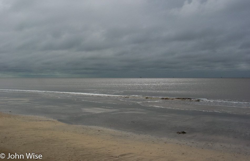
Gulf of Mexico in Louisiana

The Gulf of Mexico without us blocking the majority of the view.

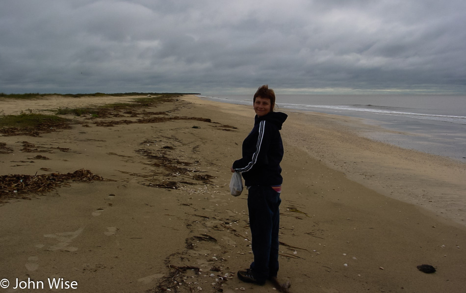
Caroline Wise with a bag of shells on the shore of the Gulf of Mexico in Louisiana

We’ve been walking along the shore for quite some time by now, and the bag in Caroline’s hands is evidence of just how many shells we’ve collected.

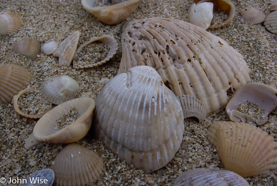
Sea shells from the Gulf of Mexico in Louisiana

Finding seashells here is not a problem.

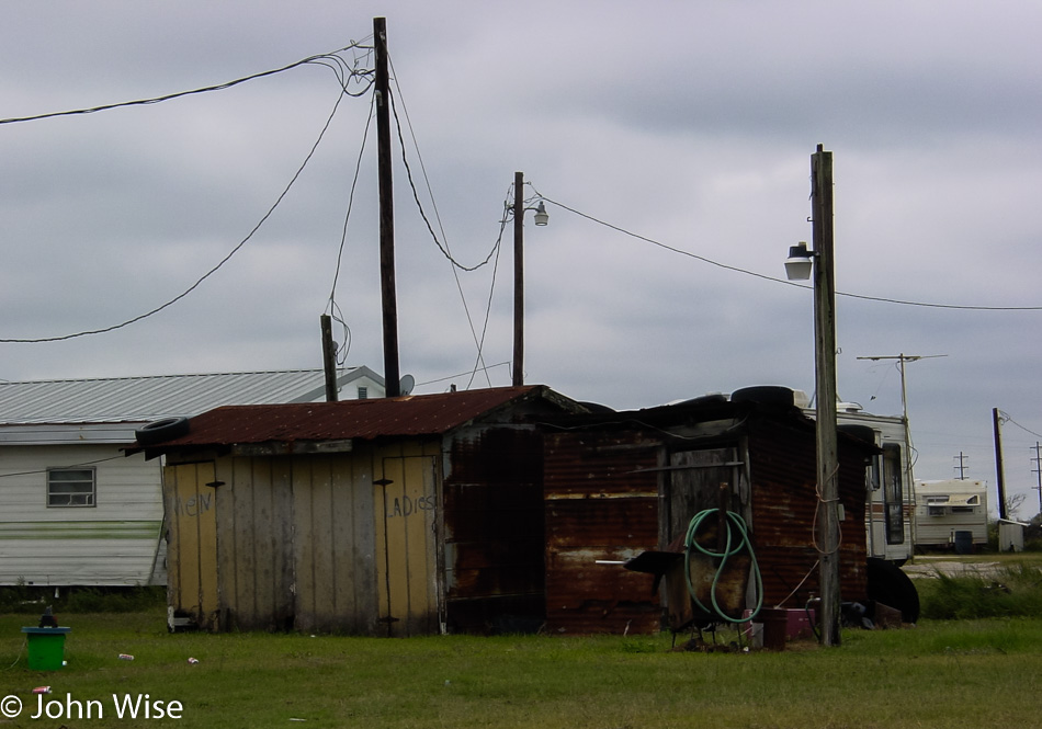
Public toilets next the Gulf of Mexico in Louisiana

I asked, and asked again, of Caroline if she was 100% certain she really wanted to use these public toilet facilities. She had to go while my knowledge of what the inside of those toilets looked like would forever be shrouded in blissful ignorance.

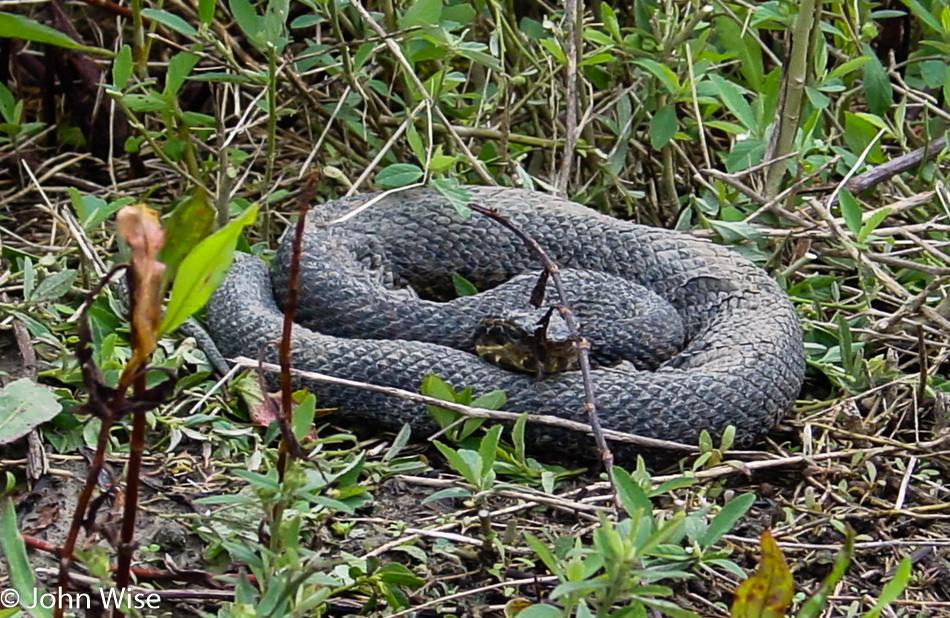
Snake in the Bayou of rural Louisiana

It doesn’t look venomous, and I can’t hear a rattle or it hissing at me, so how about you go and pick it up? Caroline did not oblige me, so we can only claim to have seen a snake on this trip as opposed to handling one. Maybe after we join the Pentecostals of Appalachia, we’ll learn just how to deal with these serpents and how to speak in tongues. There is so much to experience in America.

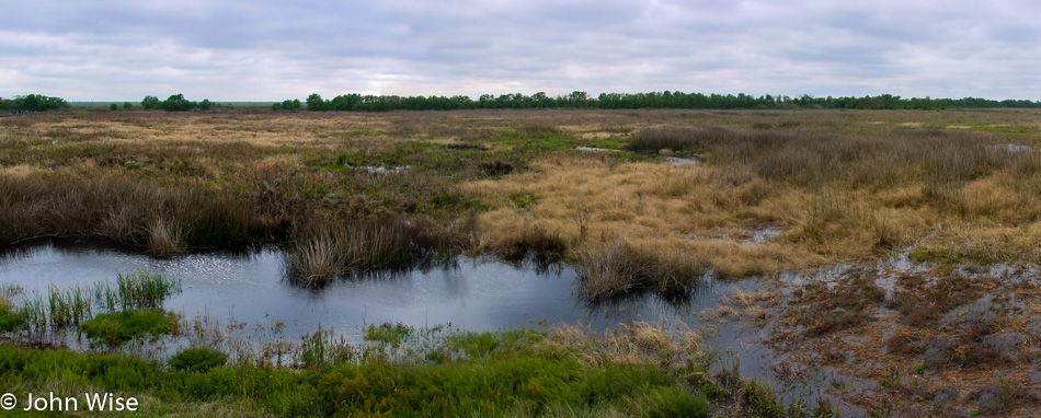
Wetlands of southern Louisiana

I’m fairly certain this is part of the Cameron Prairie National Wildlife Refuge.

Living floating island of Fire Ants in rural Louisiana

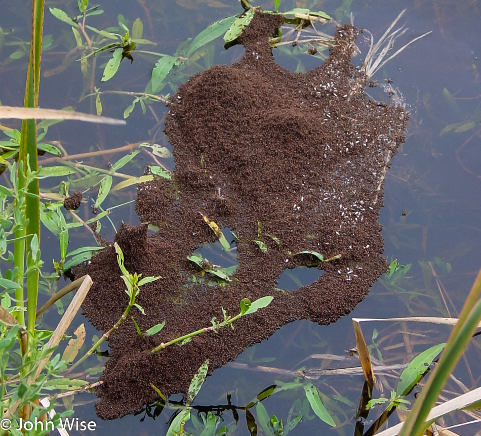
And people say Australia is full of loathsome creatures bent on killing you? What’s up with this state of Louisiana with gators, 14-pound beaver rats, snakes, and now this floating island of fire ants? I had this vision that if I stuck a stick into this nest, the ants, realizing they were not connected back to dry land, would swarm over me like hellfire on their trek back to safety, even if it meant sacrificing the host as they would bite me a million times on their escape. I left them alone instead.

Southern Live Oak with Spanish Moss in southern Louisiana

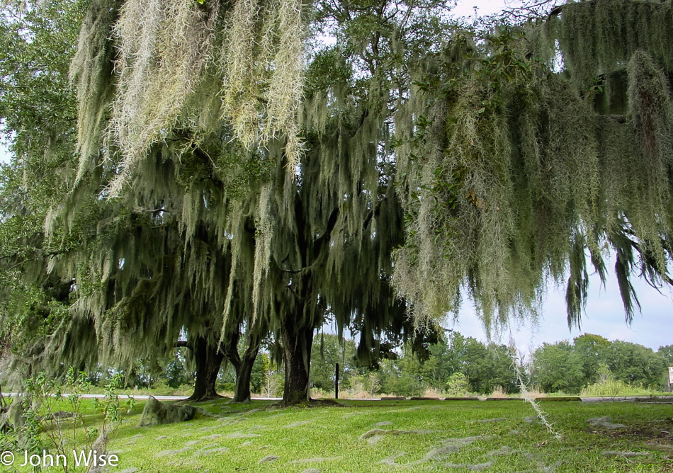
Live oak trees wearing Spanish moss because everything looks better with a fluffy beard.

Refinery in eastern Texas

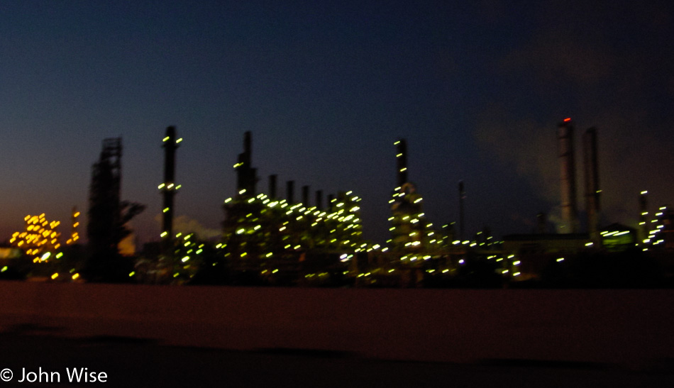
This is not a strip club; nope, it’s a blurry refinery in eastern Texas photographed while driving fast on Interstate 10. We wanted to stay in Weimar, Texas, because Weimar, but with no lodging, we had to drive on, ending up in Flatonia, Texas, where not only did we get a room, we had some yummy barbecue at Joel’s Bar-B-Q. We have driven close to 7,500 miles since we left home nearly three weeks ago.