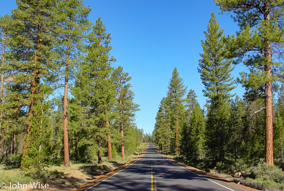
Though we were up late last night for the fireworks, we still woke up shortly after the break of dawn this morning and were getting gas by 6:30 (we’re still unaccustomed to having someone else fill our tank here in Oregon). Between stretches of the forest, we also drove through some beautiful meadows and spotted four pronghorn antelope basking in the sun while we basked in their glory from our perspective driving by.
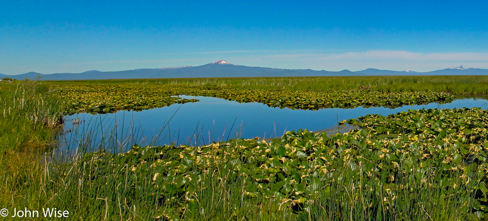
Our path wasn’t the most direct, but it was certainly scenic. County Road 676, also known as Silver Lake Road, passes through the wetlands next to Wocus Bay and the Klamath Marsh National Wildlife Refuge. While passing through the refuge, we spotted a beaver, cormorants, and geese.
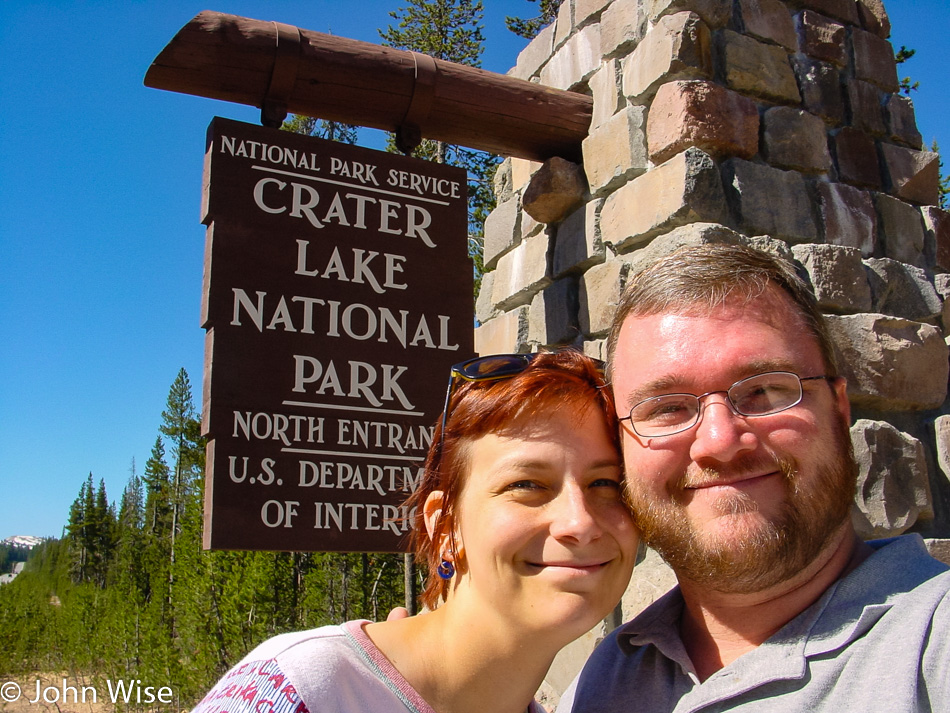
By 10:00, we are pulling into Crater Lake National Park, and the furthest northwest we’ll travel on this extended long weekend, Silver Lake on the way here this morning was a bit further north. After checking out the park map, it’s decided to take the loop drive around the lake going clockwise.
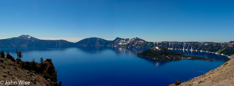
Our view of the lake is a spectacular one. The color of the water is the bluest we’ve ever seen; maybe it has something to do with how deep it is, as it is the deepest lake in the United States at 1,949 feet or 594 meters. Or maybe it’s the elevation here where the caldera rim reaches heights of 8,000 feet or 2,400 meters above sea level. Maybe it’s the fact that no stream or river runs into the lake, as this lake has been filled with rainwater and snow. But the reality is that it’s probably the combination of all these factors. On the right of the lake is Wizard Island, which is a cinder cone formed about 7,000 years ago. The island’s peak is 767 feet above the surface of the lake, but incredibly, it sits on the caldera floor over 2,000 feet down below. The trees on the island have never been harvested, with some of them clocking in at over 800 years old now.
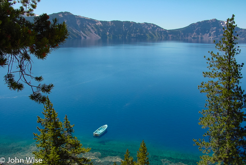
We are heading down the Cleetwood Trail which is the only trail in the park that takes you lakeside.
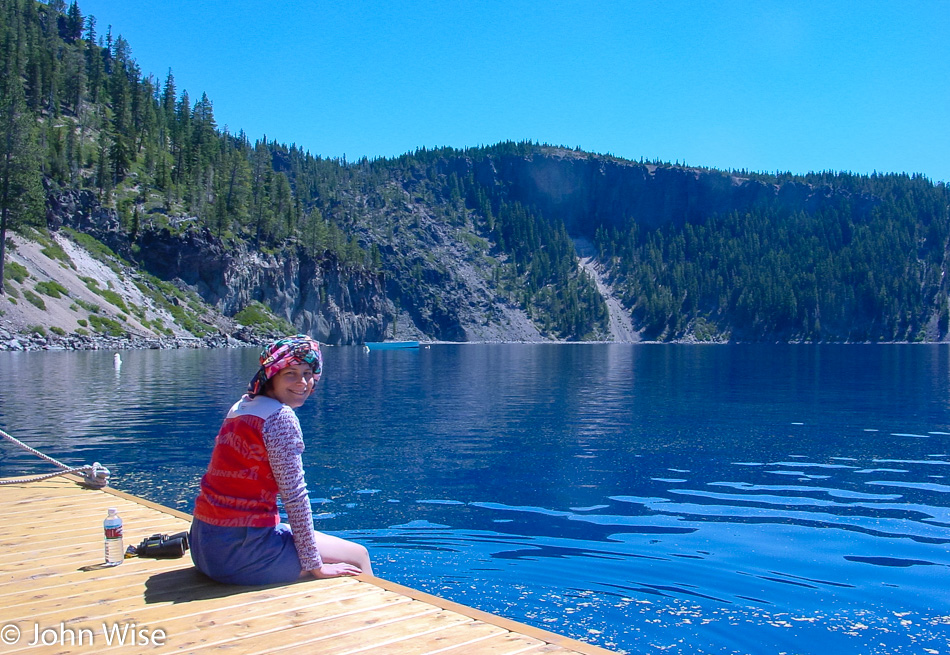
Kind of a strange thought that we are atop a 2,000-foot-deep caldera here at water level and that where Caroline is sitting used to be a mountain peak that towered over a mile above her. That mountain peak was called Mount Mazama before it exploded in a fit of volcanic fury just 7,700 years ago. While in human terms, that might seem like a lot, in geological terms, that was a split second ago.
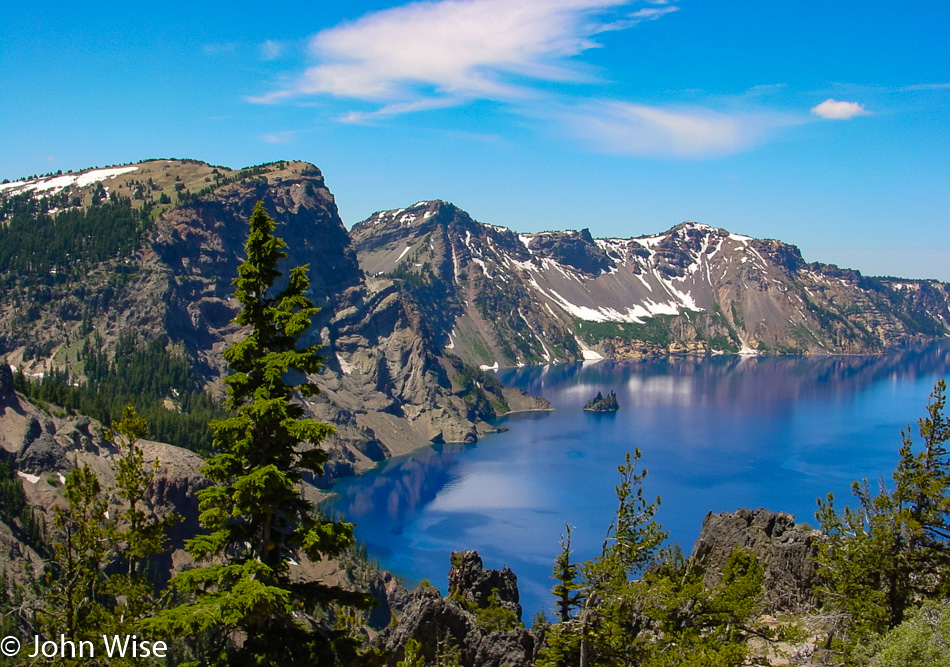
The scenic drive doesn’t exactly follow the crater rim; east of the lake, we drove through a beautiful canyon complete with several waterfalls, including a larger one called Vidal Falls. A little bit further down the road, we returned to the lakeside and were able to catch this great view of Phantom Ship, that black rock in the lake that stands 170 feet high.
Just three hours after our arrival we were already heading for the exit but stopped at the visitors center for some tchotchkes because life without a fridge magnet is meaningless and empty.
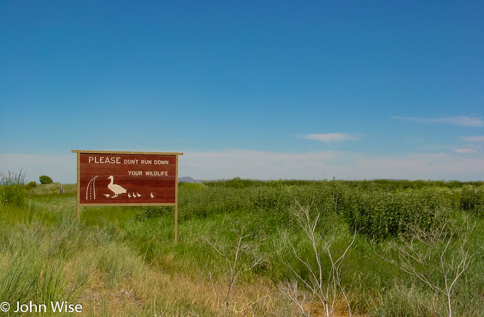
Driving south towards California, we pulled over to a scale and learned the useless information that our car weighs 1350 pounds. After arriving in California, we stopped to pay a visit to the Klamath Basin National Wildlife Refuge in Tulelake. Here in the refuge, we spotted some black-necked stilts, glossy ibis, and western coots, so like the sign points out, “Don’t run down your wildlife.”

Just a few minutes south of the refuge, we enter Lava Beds National Monument and are nervous that the visitor center might already be closed as it’s a bit after 5:00. With that in mind, we stopped here at the Devil’s Homestead Lava Flow overlook and were just as quickly off and running again hoping the visitor center might be open longer than others.
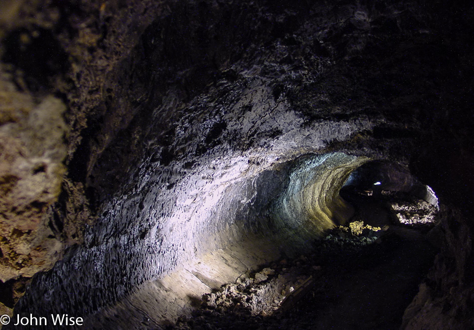
Wow, the visitors center is open until 5:30 leaving us 10 minutes after we arrived to buy a magnet and find out what else we can do with our shrinking day. Drats, there are no magnets, might as well go home! Just kidding. We walked over to the closest and most easily accessible lava cave equipped with lights, explanatory signs, and a stairway right in the visitor center parking lot. One of the major attractions at Lava Beds is that people can explore over a dozen of these caves; helmets and lamps are available at the visitor center for the unprepared, as long as one arrives in a timely manner. Lava caves are formed when the flowing lava cools off on the surface, building a roof, while the hot lava below continues to run until it empties, thus leaving a tunnel. During the cooling process, interesting underground shapes can be formed, and sometimes these tunnels cross or are re-melted and re-cooled during and after a volcanic event.
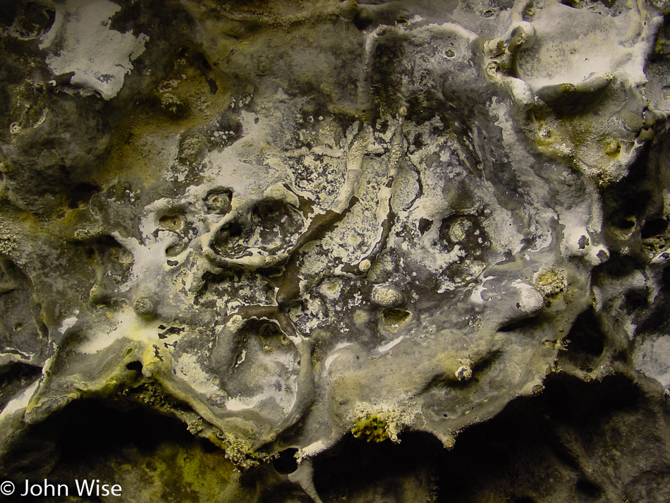
Melted stone, dripping calcified minerals, lichen, a bunch of spider webs, and people have replaced the 2,200-degree lava that once flowed through here, and we’re probably luckier for it.
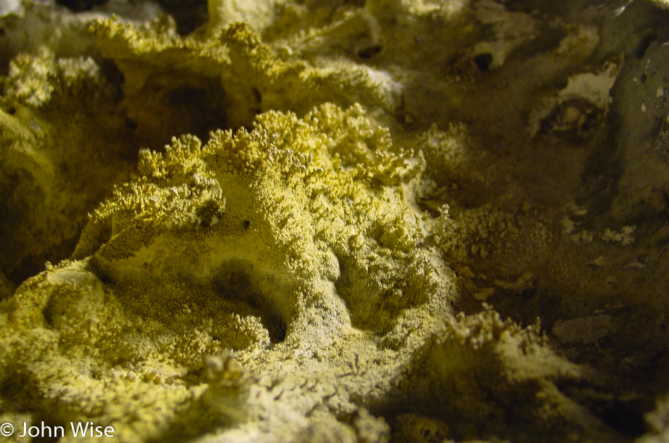
We are out of the cave less than 30 minutes after we entered it; this is the downside of trying to do a little bit of everything in the shortest amount of time.
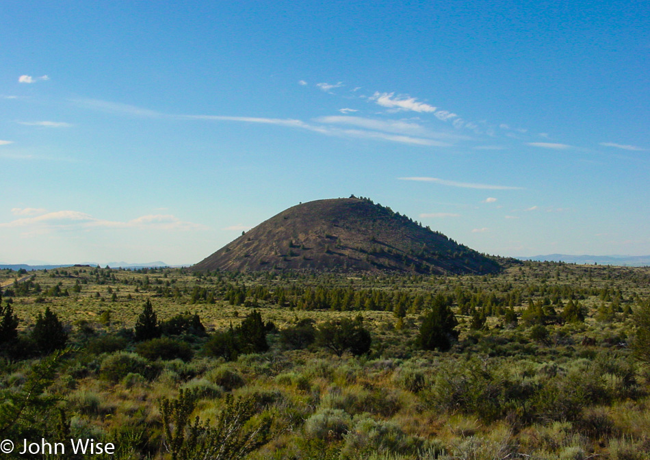
A cinder cone that one day might grow into a full-fledged volcano. Tomorrow, we’ll continue the volcanic theme with a visit to Lassen National Park, but for today, we need to get along as we are hoping to get down to Susanville that on a direct route wouldn’t be too far away, so we’ll take the long way so we can get a glimpse of what you see in the next photo.
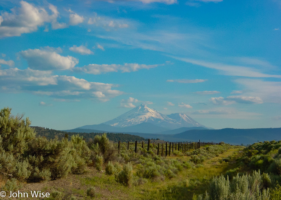
This is Mount Shasta, standing at 14,179 feet above sea level, a dormant volcano. Maybe this road trip should have been themed as the “Volcanic Run.”
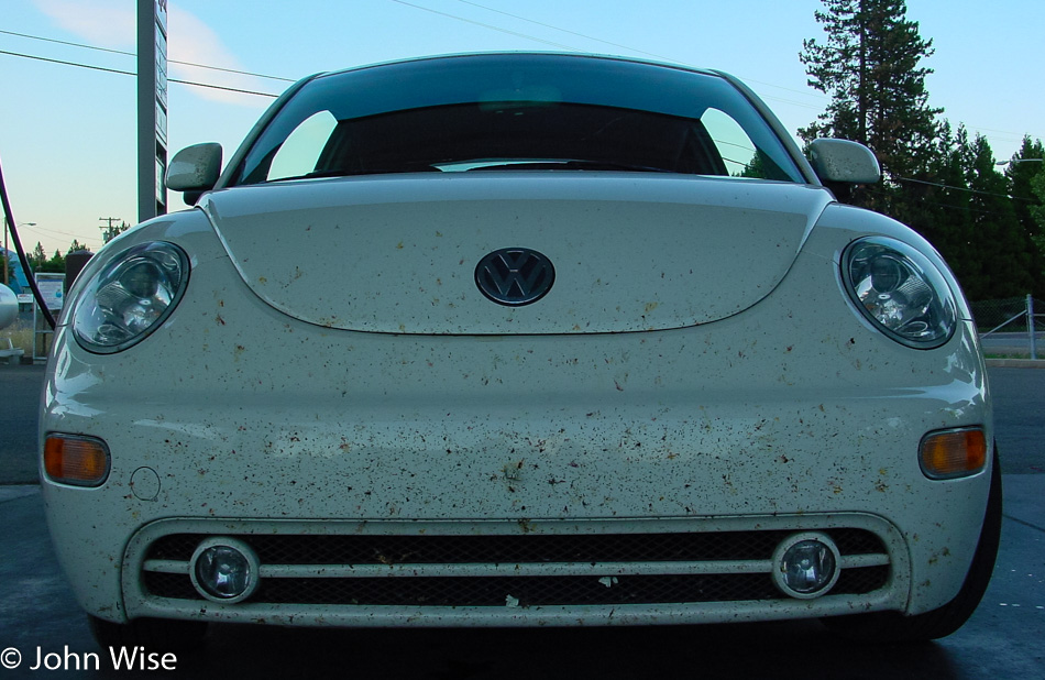
It was quite a detour around Mount Shasta and Weed, California, but I’d seen those iconic images of the Weed sign with Mt Shasta framed behind it and just had to see it for myself. We stopped for gas in McCloud, and while we were enjoying the views, we were almost shocked at the carnage on the bumper. I’ll spare you the closeups.
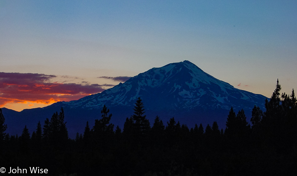
The sun setting in the distance, and yet another view of Mt Shasta.
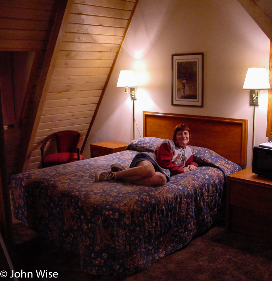
We finally arrived in Susanville, California, at 11:00 p.m. and had a seriously funky room here at the Budget Host Frontier Inn.