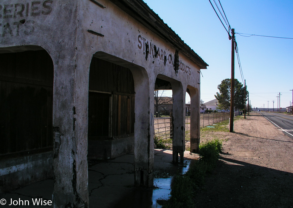
Ruins of any sort, and I’ve got to stop. Someday, these decaying relics will be gone as will I, but the photos of our history will live on somewhere out there on the Internet. This particular stop was in Solomon, Arizona, on Highway 191 at the J. Fred Blake General Merchandise store. Who was Mr. Blake? The information that I found is a bit sketchy, but it appears that his father was John Blake, born in 1849 in Scotland. His son was J. Fred Blake, who was likely born in Tombstone, Arizona, around 1885. While John was originally a grocer, he’s listed as a miner on his death certificate of 1918. Back when the store was in business, the town was called Solomonville; J. Fred died in 1962.
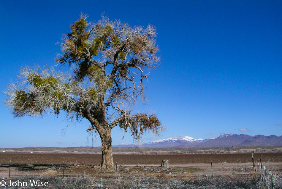
Our two-day excursion out and back started this morning, and while we have a few stops planned on our jaunt to fetch dinner and breakfast at the El Camino Family Restaurant in Socorro, New Mexico, we’ll take whatever comes our way and looks interesting. Those snow-capped mountains are welcome for the beauty they add to the photo, but again, I think we have forgotten we are still in winter.
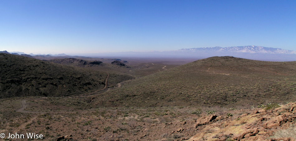
This is the Old Safford Road, now also known as the Black Hills National Back Country Scenic Byway. Just past this overlook, we ran into some snow that, while beautiful, had made a muddy mess in a shaded corner that would have been a horrible spot for us to get stuck in with our little Hyundai. Keep in mind that we do not travel with a cell phone, not that one would work out here anyway.
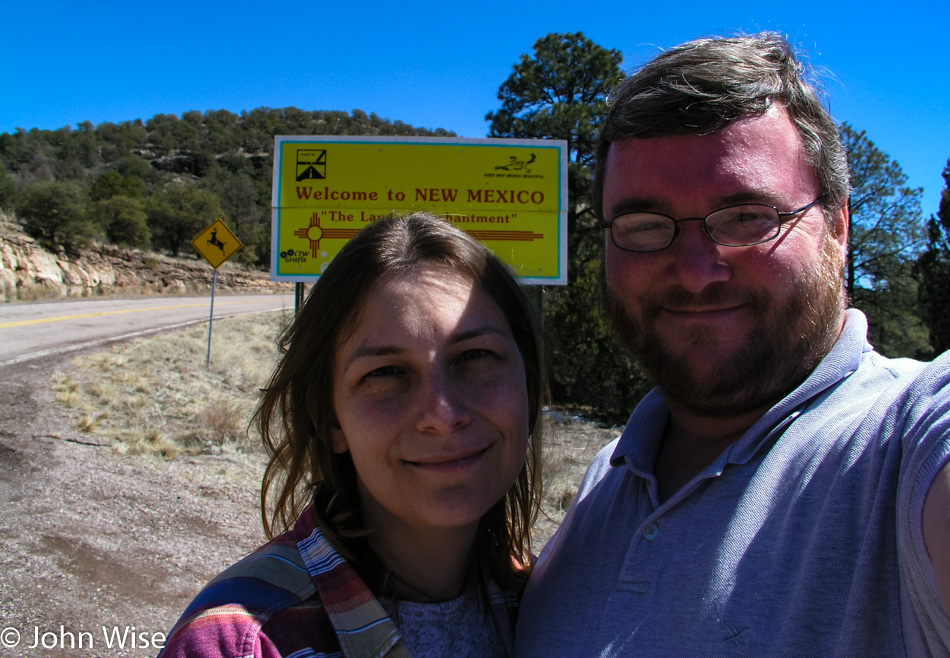
Crossing from Arizona into New Mexico on Highway 78, should you be interested in tracing our steps on a map.
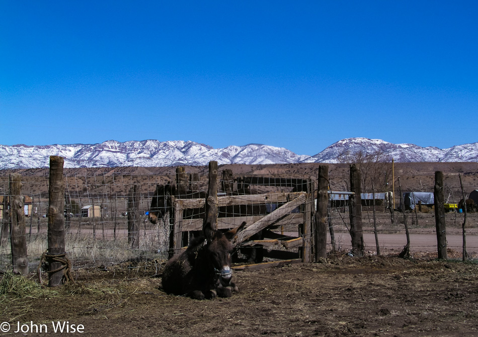
The amount of snow out there does give us some concern, but we can always turn around if we find our path forward would be too icy or snow-packed. We met our donkey buddy here at Last Chance Liquor in Buckhorn, New Mexico.
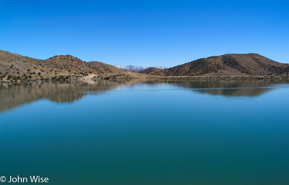
We’re not only heading south because there’s no other way, really, but we are also driving south because there’s a lower chance of driving into the snow. This stop along the way is at a remote little lake called Bill Evans Lake, which is south of Greenwood Canyon, New Mexico.
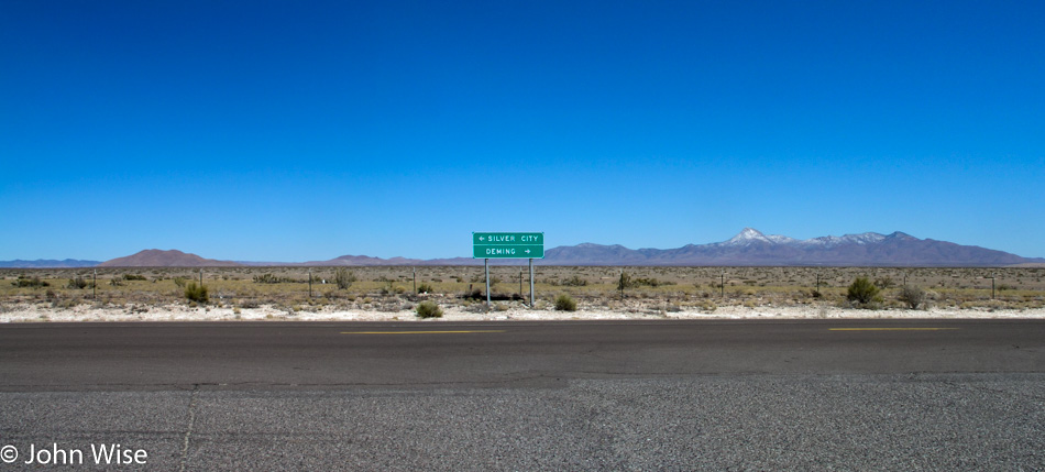
Had our goal today been to avoid human contact, we’d be winning a door prize because we really feel that we are well off the beaten path. We are coming from the direction of Silver City, stopping for a break at the Butterfield Rest Stop on Highway 180, about 20 miles north of Deming, New Mexico. After passing through Deming, we drove up Highway 26 with a stop in Hatch for a quick bite before joining Interstate 25 North.
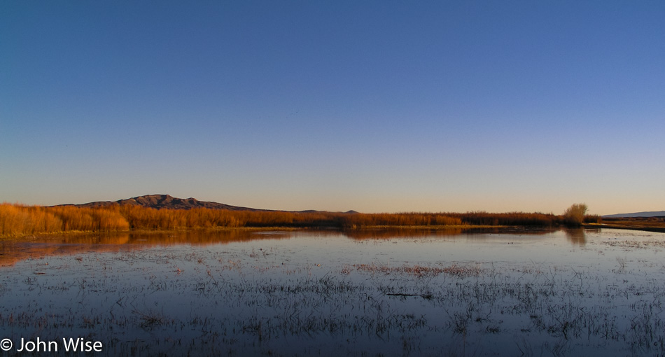
Sunset was spent at the Bosque Del Apache Wildlife Refuge, where we didn’t see very many birds at this time of year; maybe they are already flying north as spring is right around the corner.
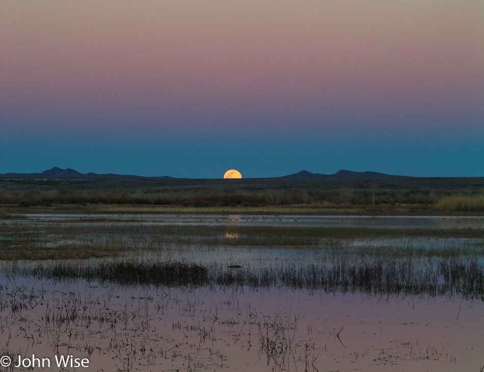
Not only the sunset but the moonrise too at the refuge. Dinner was, like I said earlier, at the El Camino Family Restaurant, and as usual, Caroline opted for the chile relleno while I went for the green chile-smothered steak.