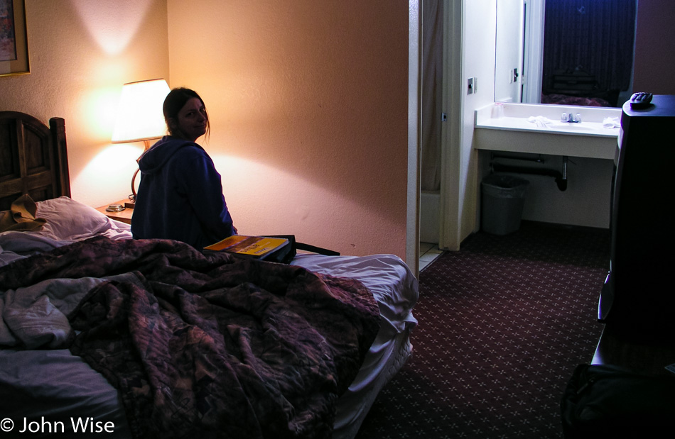
As this blog entry is only being put together in early 2020 from notes we took back in 2004 there is some reflecting on the differences the intervening decade and a half has brought. While this photo is poor in quality, it’s what it shows that is important. One, it’s obviously a cheap place, but look around. The TV is not a flat-screen but a big old picture tube there on the right. There’s an ashtray on the table next to Caroline, while on the bed with her is a paper map of the U.S., and under it is a holder of about 200 CDs we used to take with us for music. Since that time, phones from rooms have mostly disappeared as wake-up calls have become a thing of the past. Paper bills are no longer slipped under the door as they are now emailed with our smartphones the connection to the outside world; they are our alarms, maps, and source of entertainment.
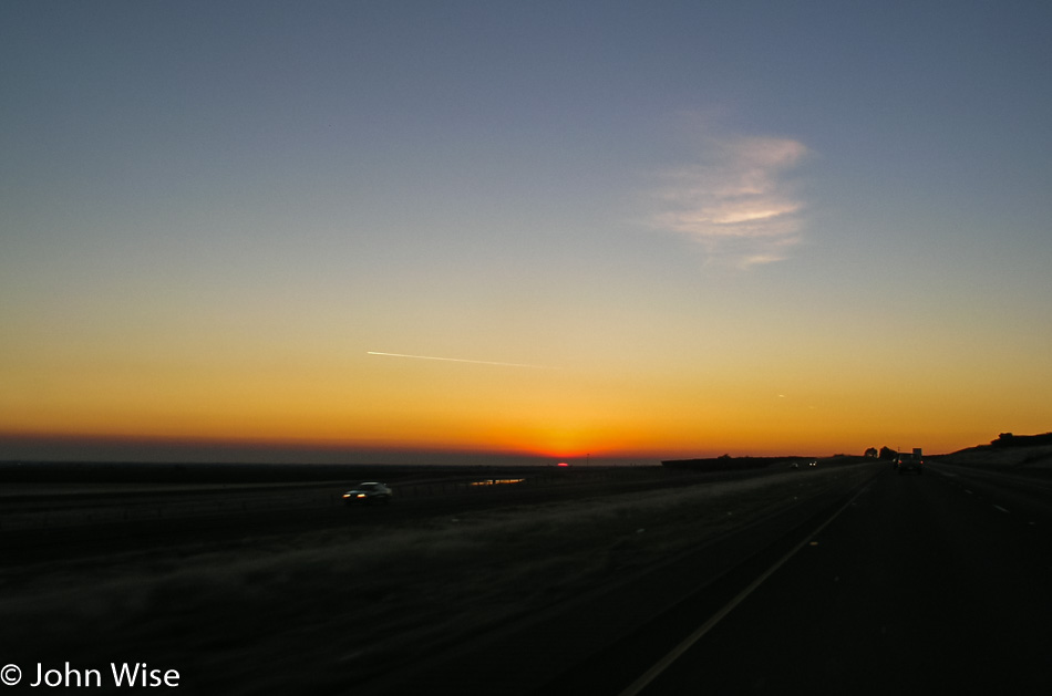
We were out before sunrise and passing through Stockton, California before the first hint of the sun peeks over the horizon.
Somewhere near Kettleman City off Interstate 5, it’s only 8:45, and we’re already 210 miles closer to home. It’s amazing the distance we can cover when we aren’t distracted with frequent stops.
Time to turn on our idiot mode as we are now feeling we are making such good time we can afford detours. At the turnoff for the 58, we head towards Buttonwillow and McKittrick to visit a national monument we have yet to see.
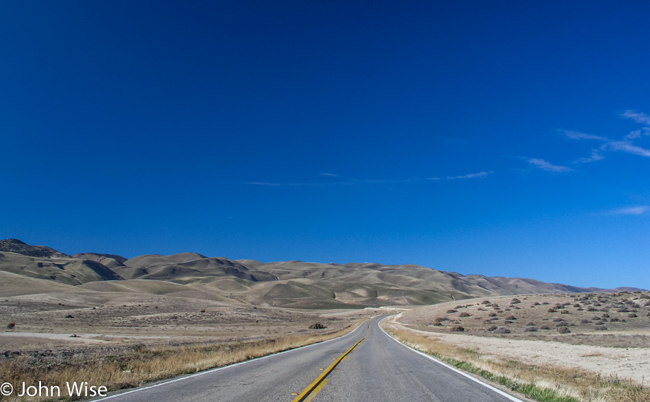
Over the hills we go, driving west when we should be going east.
But if we position ourselves just right, we can head south after our detour and pass through Los Angeles, and who doesn’t want an extra side trip to L.A.?
We’re almost there.
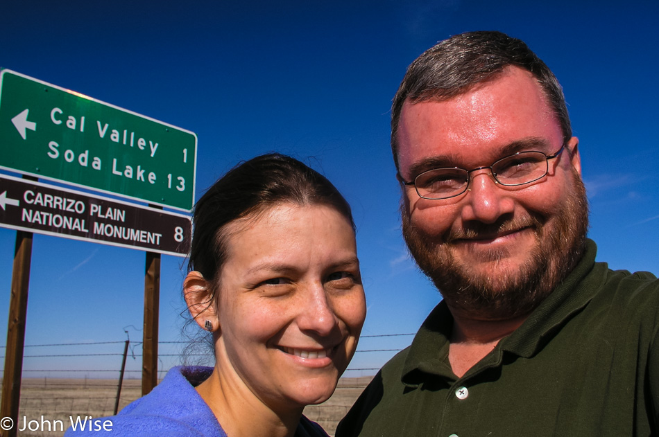
Caroline Wise and John Wise on their first visit to the Carrizo Plain National Monument. Those are not the faces of regret for taking the wrong road in the wrong direction to see something not seen before. They may be the faces of idiots, but at least they are still happy after having already driven over 2,000 miles on this trip.
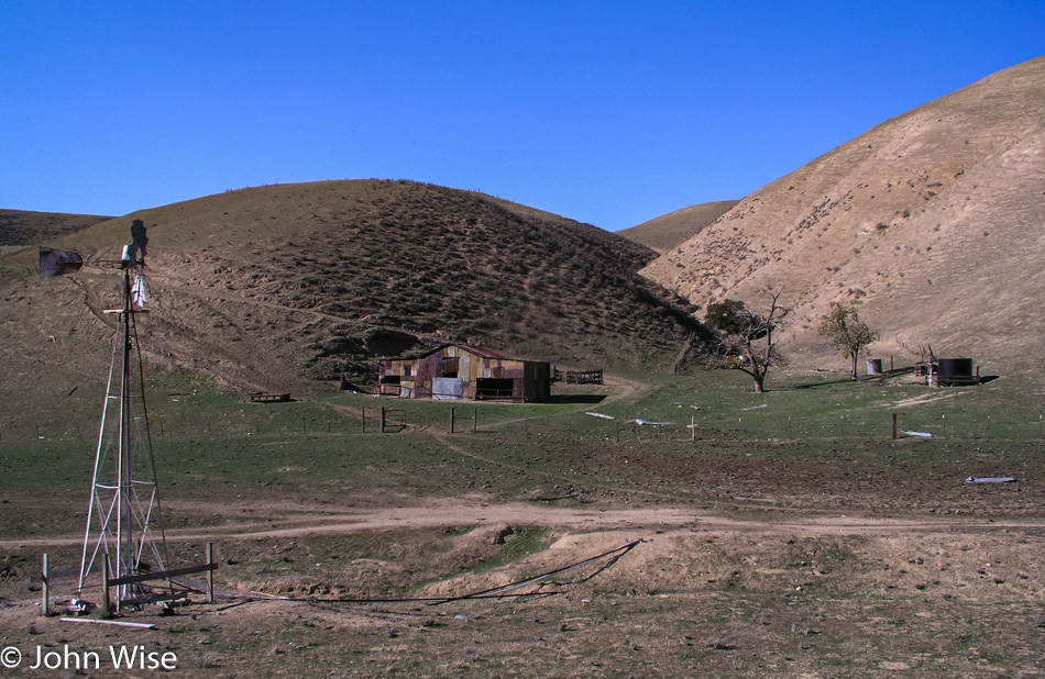
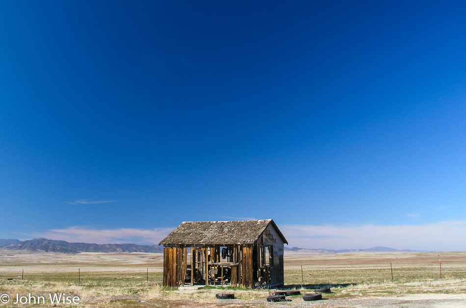
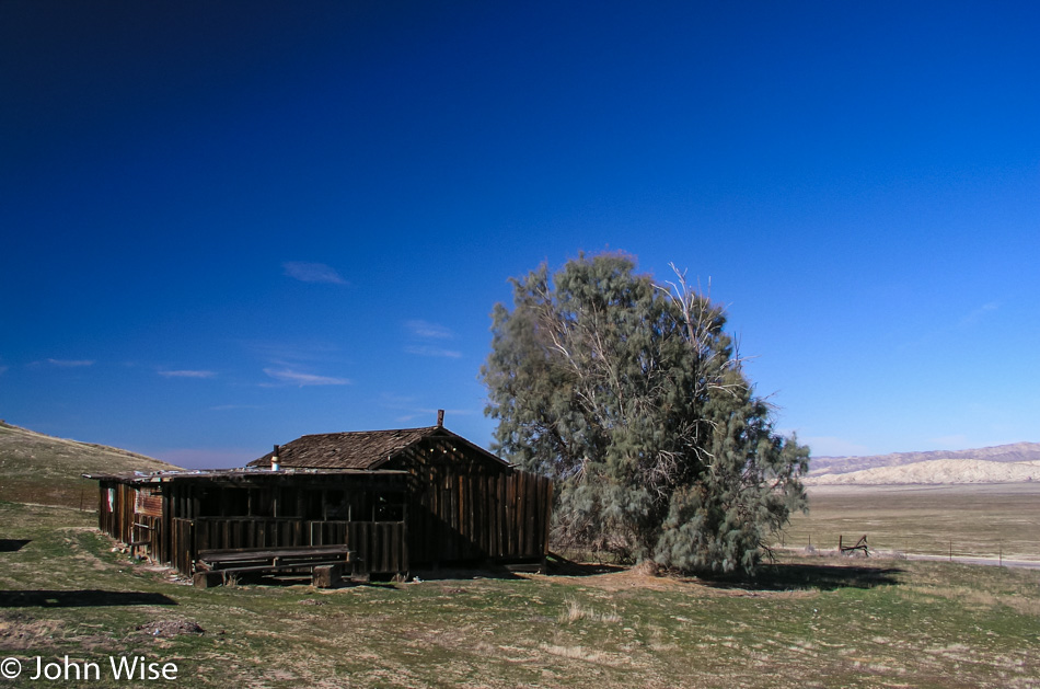
And this is what we drove out to. This area of the California Central Valley is about all that remains of the original landscape before farming and cities took over and erased what the land once looked like. Maybe we can time a return following spring rains to witness the wildflower bloom that is supposed to be spectacular out here.
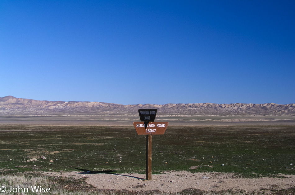
The drive out of Carrizo is on the Soda Lake road going south.
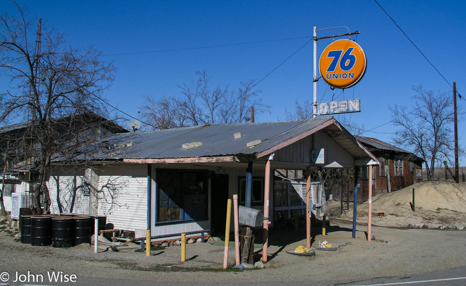
Hanging out at the intersection of Soda Lake Road and the West Side Highway. From looking at Google Earth, I can tell you that somewhere before the end of 2018, the Union 76 sign was cut off the building, as I’m guessing it was more valuable as an item exchanged for cash than an aesthetic artifact that added to the view.
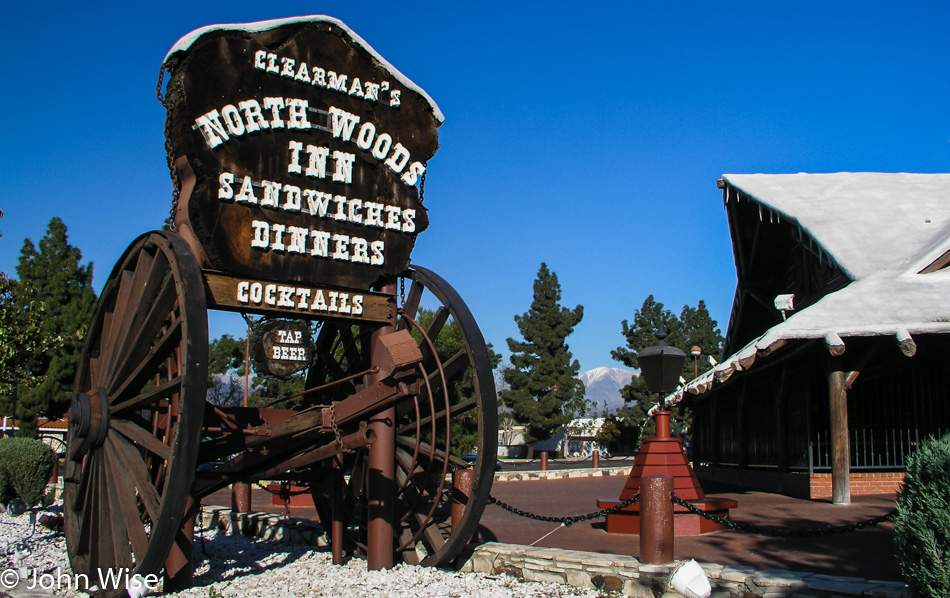
Call this a late lunch or early dinner, but arriving at the North Woods Inn in Covina, California, at 2:15 p.m. is a luxury as it means we’ll likely be on the road to Phoenix by 3:00 and that screams at us that we’ll be home by 9:00 which is EARLY EARLY EARLY!