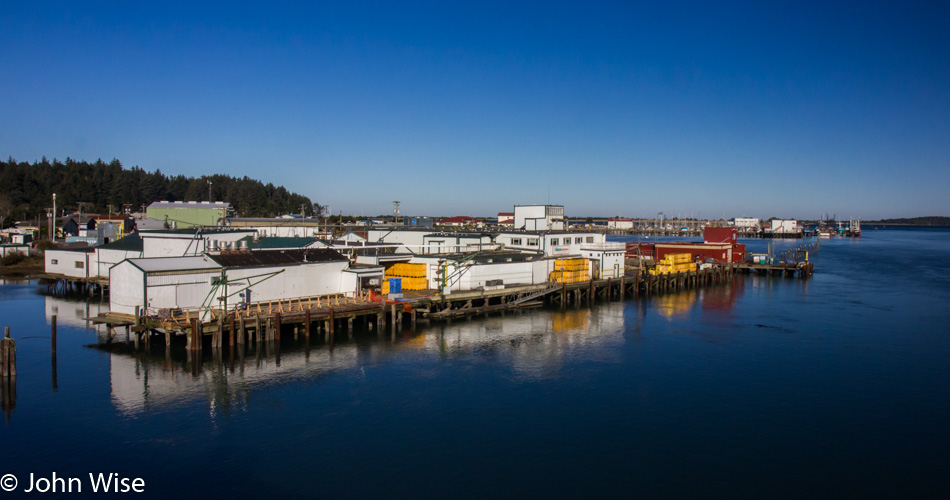
A new corner of the coast we’ve never visited before or one that I have conveniently forgotten, maybe we passed through at night? This is the view from the bridge crossing into Charleston, Oregon, on Thanksgiving day. We only have 155 miles planned for today’s drive down to Crescent City, California, so we’ll be sure to take a leisurely stroll along the way, maybe two. Upon consulting with the wife she assures me that we’ve been through the area but that maybe we’d been traveling north and weather conditions were poor.
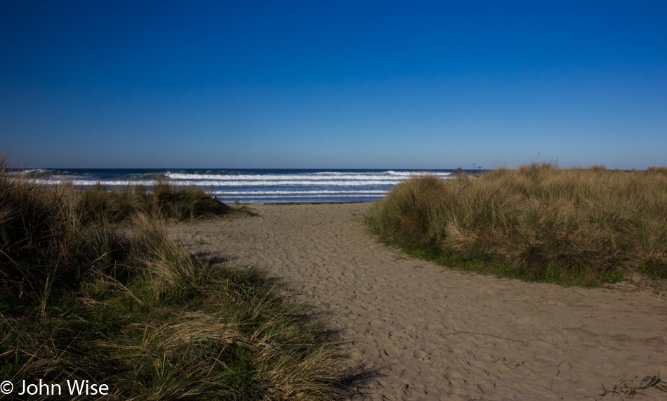
The short trail to Bastendorff Beach, where we’ve been warned not to eat the shellfish as they are toxic. No log rolling in the surf either, as it’s been deemed dangerous enough that we’ve been requested to stay off of them. Seems there is nothing fun to do here. Should also inform you that the sign told us that pallet burning is prohibited, although, on another part of the sign, it certainly encouraged us to make tracks and move quickly to higher ground if we feel the ground shake as we are in a Tsunami hazard zone.
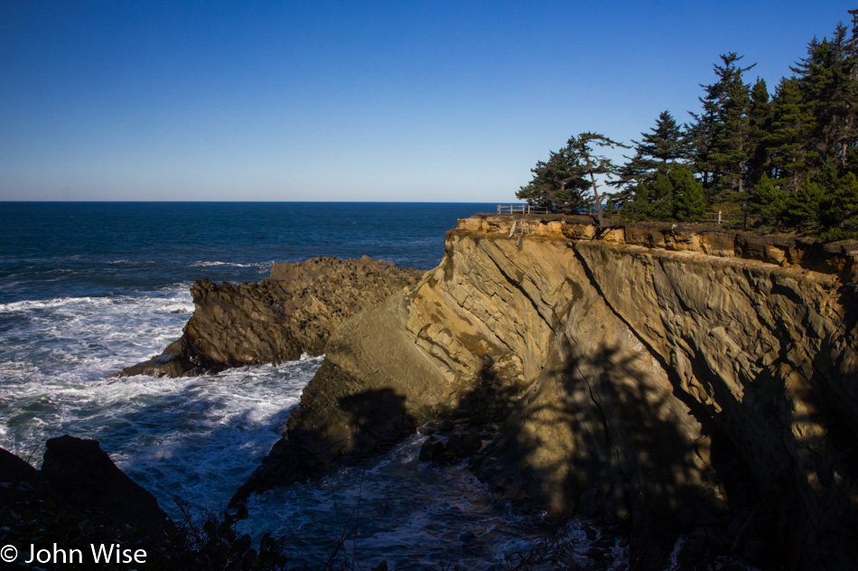
Just a few minutes down the road, we are at Shore Acres State Park, which was originally the estate home of a lumber baron until the place burned down and the owner sold the land to the state.
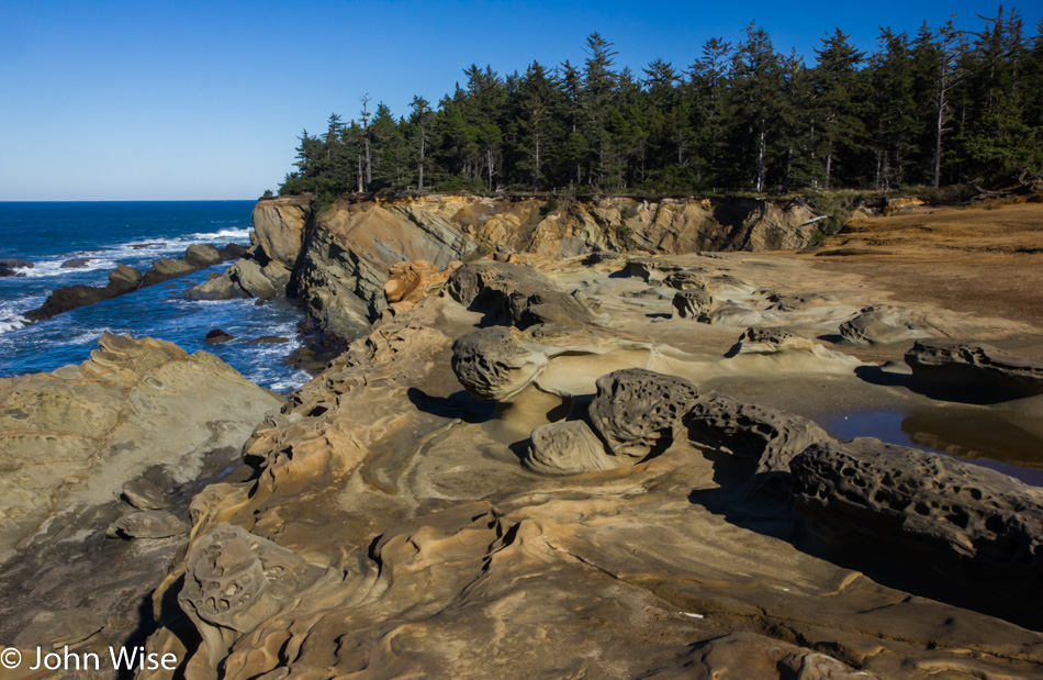
Poor weather on a previous visit held us back from exploring the area, and to be frank, you don’t see much of this stuff from the car. We are still at Shore Acres.
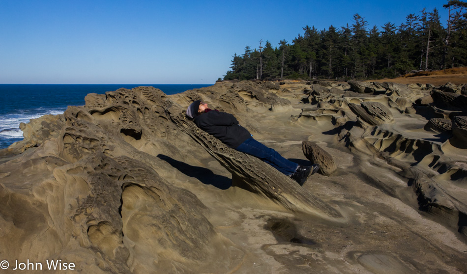
While the shadow gives it away, there was a moment when I was looking at Caroline resting on this rock protrusion that is about as wide and long as she is wide and tall that I thought she was hovering at this impossible angle. The illusion for that moment was perfect.
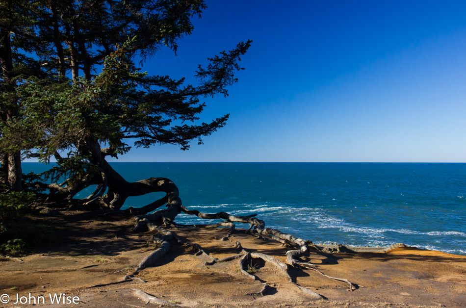
Sometimes, I have to post a photo, though I don’t have a lot to say about the moment because there was something about the composition and conversation with my memory that demands I share this, if, for no other reason than when Caroline and I look back at this in years to come, we get to ask ourselves for the countless time, “Wow, did we really get to do all this?”
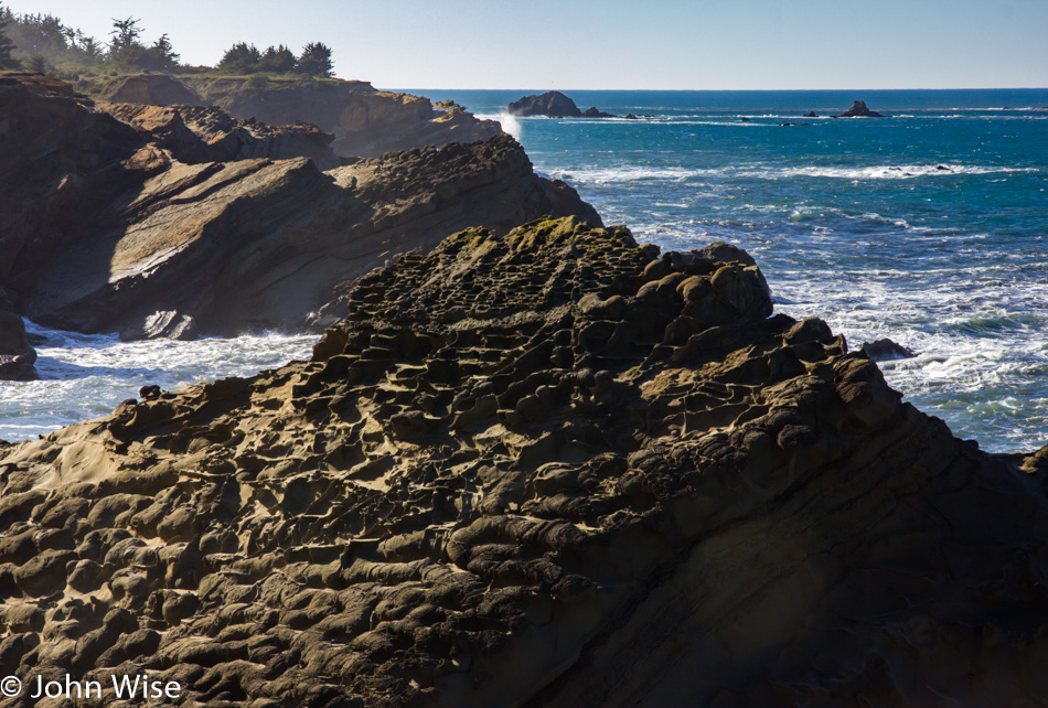
The intricate detail of features that look like pockets, cubby holes, and those hay bundles next to road construction that are supposed to control drainage are all over this rock outcropping. Wish someone could tell me what the fossil record suggests happened to create these intricate patterns here at Shore Acres.
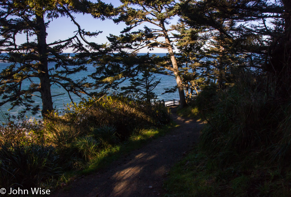
While I marked this image as being a trail at Cape Arago State Park, I’m no longer sure; I guess we’ll just have to return to this spot someday and hope to note where this is and then update the entry.
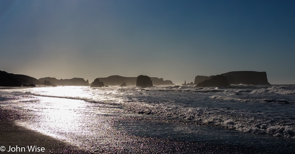
The day is just zipping by with us nearing Bandon, Oregon. We are looking south, just north of town, with one of those features being called Table Rock.
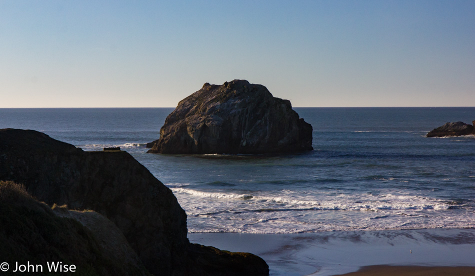
For obvious reasons, this is called Face Rock.
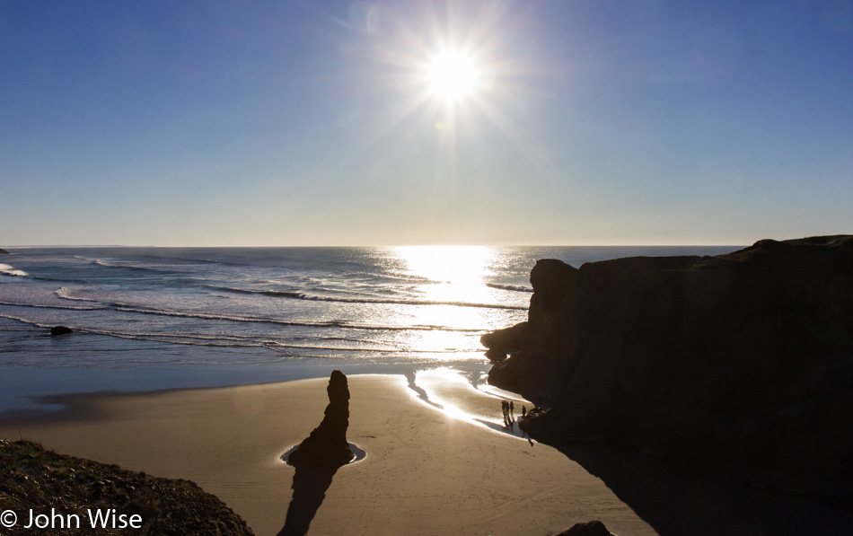
With people standing where they are it just became apparent just how low the tide is, time to look for tide pools. We are standing on Gravel Point at the Face Rock State Scenic Viewpoint in Bandon.
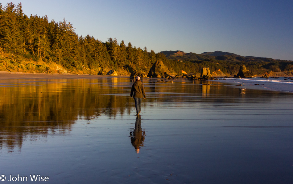
This beach at Port Orford, Oregon, will be our last stop of the day before moving on to our destination down in California. This trek south has seriously been at a snail’s pace, with only about 65 miles covered in 10 hours, but walks such as this are priceless, and we’d gladly sacrifice a bit of sleep in order to visit these states of perfection.
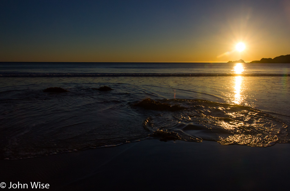
With the sun moving lower and lower in the sky, we have precious little time left for our quest.
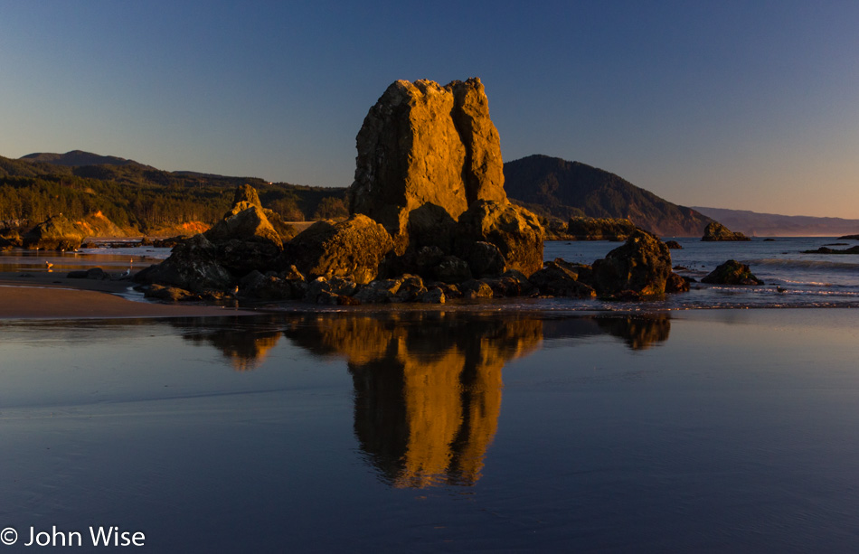
Looks like we are approaching some places where we might find some sea life exposed due to the low tide.
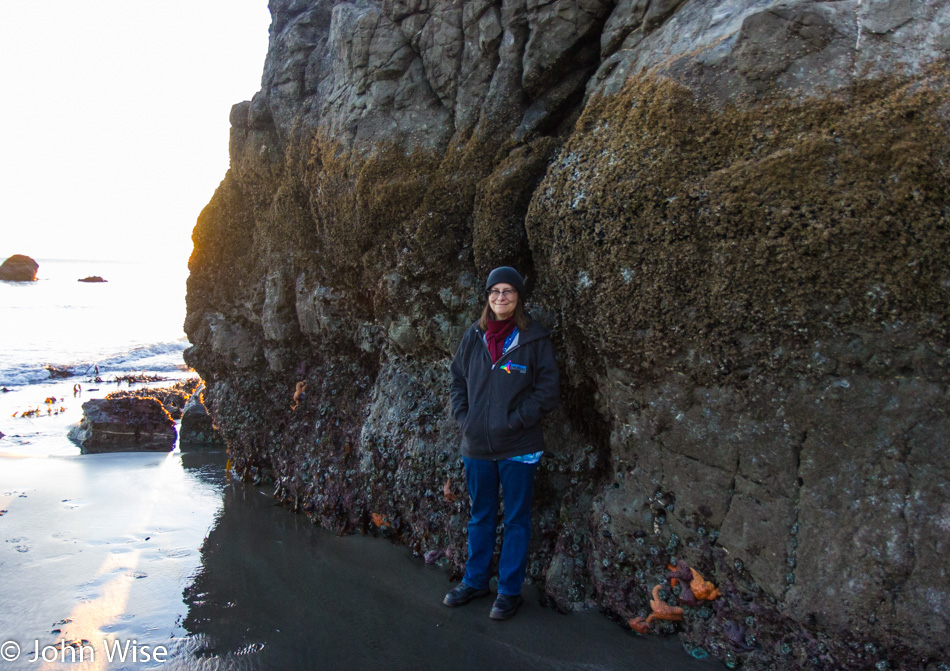
We knew the tide was low, but not this low. I think this would be considered more of a negative tide. See Starfish for scale.
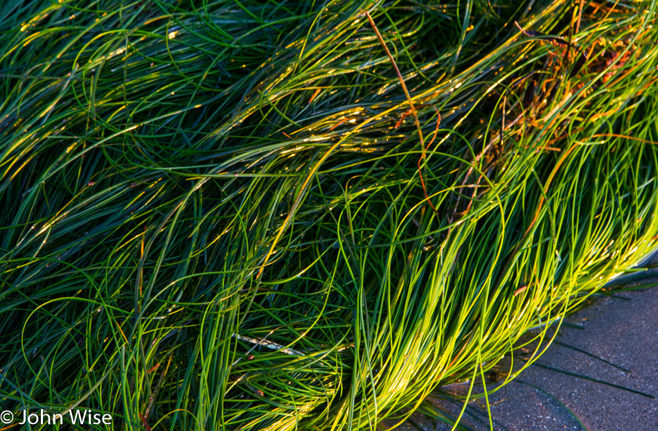
The bed of the seafloor is exposed. While we are accustomed to seeing seaweed wash ashore, it’s not often we see seagrass growing in the sand and outside its natural habitat.
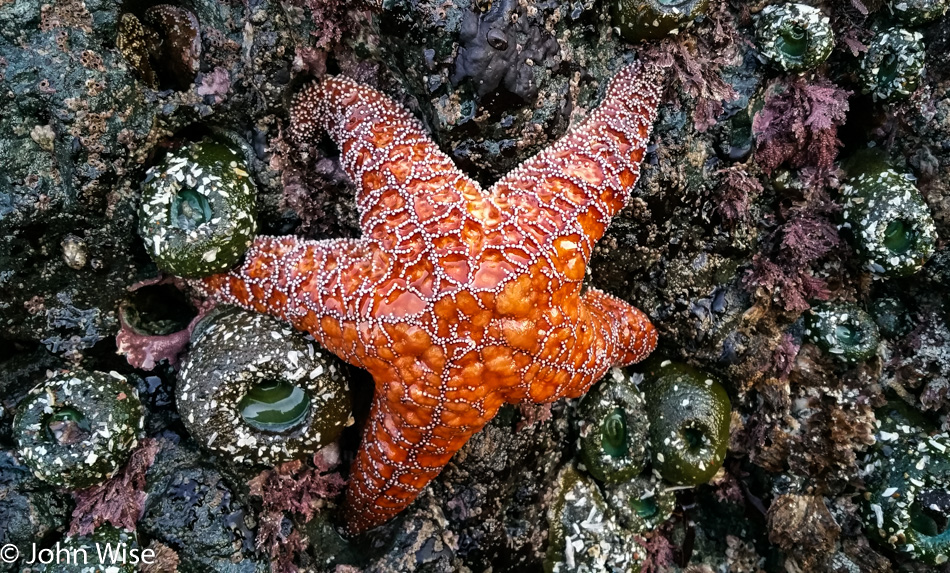
I count almost a dozen anemones, some barnacles, and one big orange starfish, all looking like they are looking forward to the return of their habitat that has abandoned them in a strange environment where aliens have approached and are examining them. The anemone to the right of the lower right leg of the starfish got an anal exam from one of the aliens; you know, it wasn’t me that poked it, so that only leaves you know who.
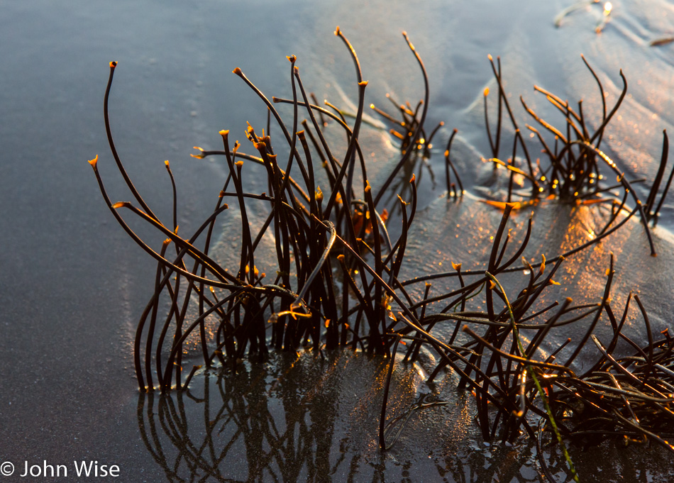
Beautiful little plants are seldom seen by us beachcombers, who are more accustomed to staring at people in bikinis and tight, form-fitting swim trunks that accentuate their buns.
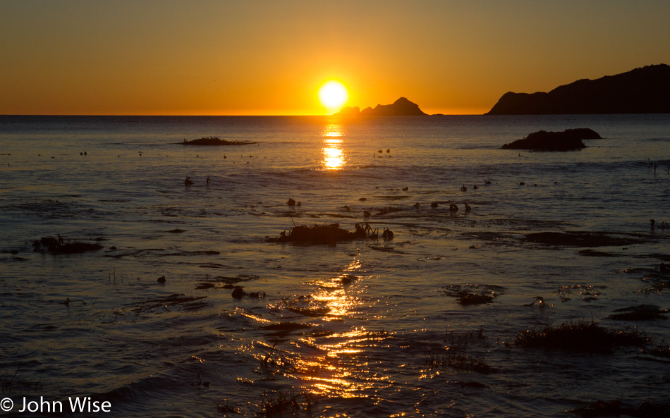
And just around this time as the sun was about to dip out, so did Caroline’s phone. By the time we got to the car, it was dark out on the beach, and while we retraced a few of our steps, it was obvious our search for her lost phone was an act of futility. While this was as good a reason as any for Caroline to adopt a new phone, there was still some sadness that the images of tide pool creatures she’d been probing became lost research that would forever go unexamined.
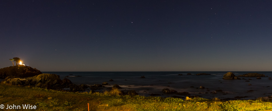
It was 10:00 pm as we pulled into Crescent City, California, and not too late to snag a photo of the Battery Point Lighthouse and stars shimmering above it. A perfect day all-in-all.