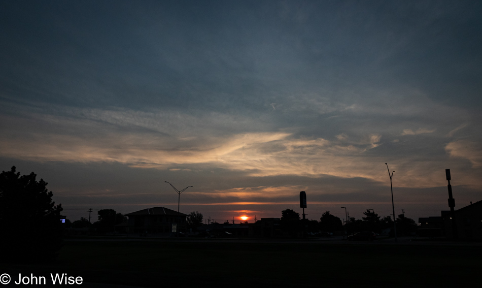
Sit in the car too long and neglect walking and you too might consider rising before dawn and exercising your legs to get the old peristalsis working again. That was our idea anyway when it came to fetching breakfast. Down the road, barely a half mile or so from our motel was the Good Evans Breakfast & Lunch joint. It opens after the sun rises, so we paced back and forth in the parking lot, logging more steps and hoping that the walking plus breakfast coffee would be adding momentum to the peristaltic effect we were hoping to make part of this morning’s experience. For those too lazy to look up the word, I’ll give you a clue: we kept our room key just in case we were successful.
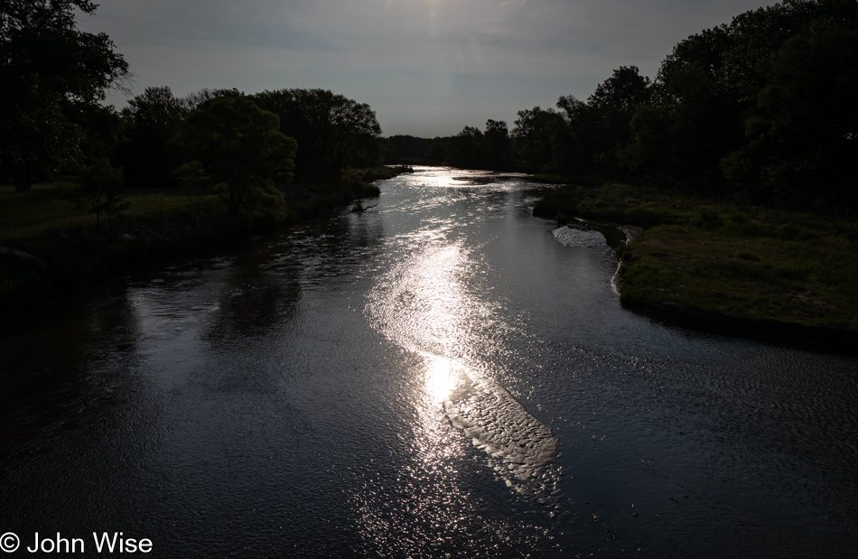
Only about 20 miles north on Nebraska Highway 10 near Pleasanton, we had to stop for the shimmering reflective surface of the South Loup River. I’ve likely said it dozens of times in previous blog posts, but flowing wild water holds special significance to us desert dwellers where that essential fluid is not often seen coursing over the landscape. Add to this beautiful aesthetic the cliff swallows that dart out from under the bridge, and if time allows, we could just hang out for an hour or more, taking things in.
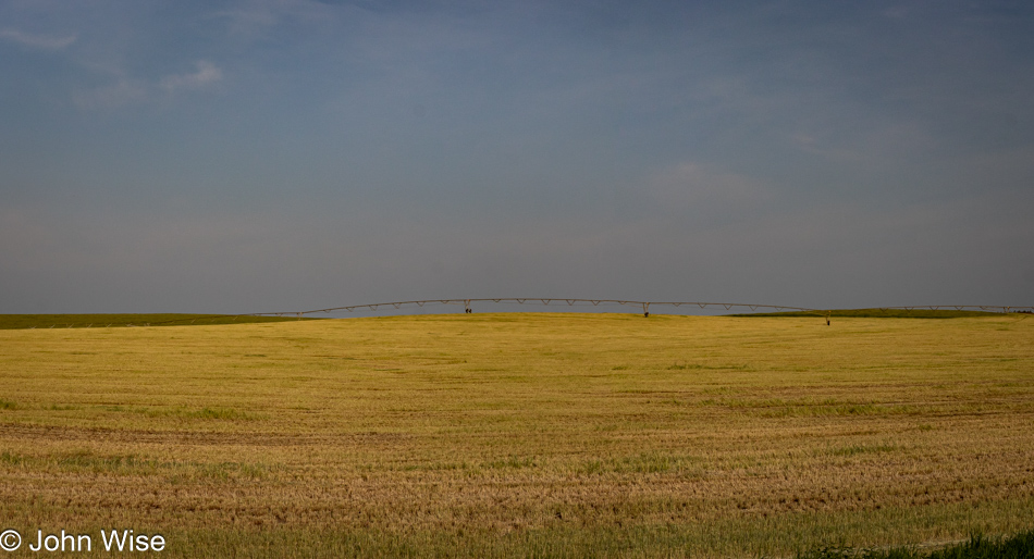
At first blush, you might think you are only looking at a crop of some sort or other, but there’s more than meets the eye, and that more is the center pivot irrigation system off in the distance. We’ve seen these watering systems many times but never gave them much thought, and I’m sure most people who’ve flown over the United States have seen the circular crop patterns from high overhead. Upon our return home, I looked up the details and learned that these rigs are often custom-made to work with the contours of the land and the crop requirements of the farmer. Also, they are not cheap, costing between $35,000 and $90,000 each. The pivot point is located near a water and electricity source that will supply the elements required to put the irrigation system to work, and it turns out that newer versions are controllable by smart apps. The world leader in this tech (and it really has matured into a smart agriculture technology platform) is a company called Valley, found 190 miles east of us near Omaha, Nebraska. Finally, the inventor of the center point irrigation system was Frank Zybach of Columbus, Nebraska, which is only about 100 miles from where we were at this moment on the road. When considering that he revolutionized farming and that this form of irrigation is used in more than 100 countries, I’m surprised there aren’t signs directing us to his birthplace or the home where he built his first prototype. Not having social media in 1947 impacted his ability to find fame, I suppose.
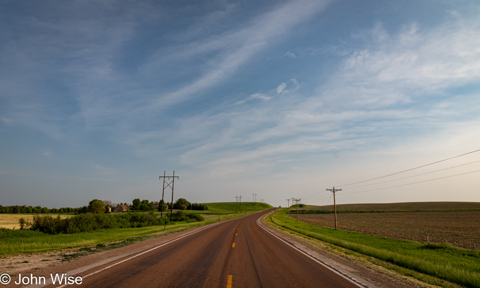
I might consider lamenting that here we are, driving through the middle of America and half oblivious to the importance the Great Plains have played in shaping modern America, but I wouldn’t be the only one with blinders on as who really cares about the conveniences that already exist and are taken for granted while butts, brawn, and banality are all the rage here in the second decade of the 21st century.
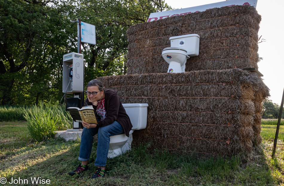
Big thanks to the Nilsen Hay Company of Hazard, Nebraska, for supplying the two-story rest area, including a vintage payphone, should one need help. Fortunately for me, my peristaltic equilibrium was reawakened by coffee and walking while still in Kearney, but poor Caroline needed to perch beneath the haybale on the conveniently located commode next to the road. Trust me, I tried calling her on that phone so I could ask her to look over and smile, but she was too immersed in reading White Trash: The 400-Year Untold History of Class in America by Nancy Isenberg to care about the phone ringing off the hook. Regarding the book, it’s our current car reader (when we are not traveling) and a great companion to the last depressing tome we read this year titled Fantasyland: How America Went Haywire: A 500-Year History by Kurt Anderson.
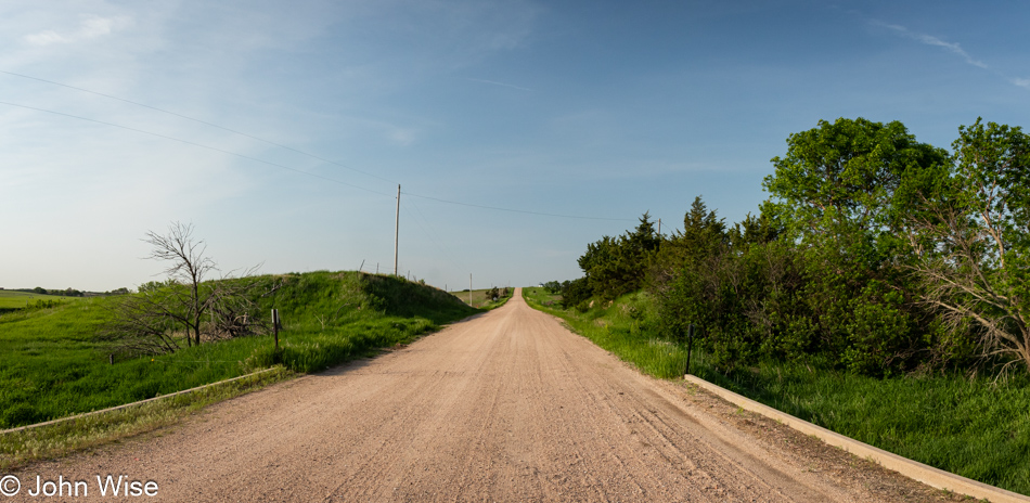
Every mile we drive through farmland, we encounter another dirt road, which translates into 640-acre (259-hectare) plots of land, and from our vantage point, we typically cannot see where these roads terminate. We could take a gander at the map and figure it out, but I’m good with the mystery of what is out beyond my line of sight. Not knowing what lies beyond is like an invitation to return and discover where we’ve not been yet, which in turn makes the world infinitely large because we can never learn what is outside of our view in one lifetime.
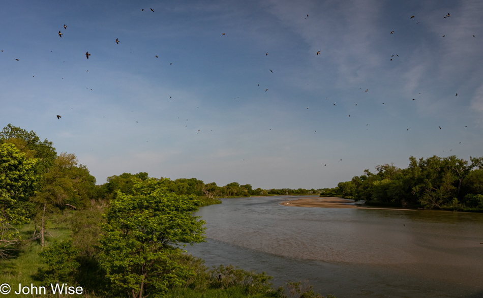
A bunch of cliff swallows are here at the Middle Loup River off Nebraska Route 10, south of Loup City. When we approach these bridges where cliff swallows make their nests, they don’t seem perturbed by the passing cars, but when Caroline and I get out of the car and start talking, it seems as though they all leave their nests to investigate if we are threats to their clutches of eggs just below us. Strange thought I’m having as I write this: tomorrow afternoon, we’ll be crossing the Middle Loup again on U.S. Route 83, about 90 miles west of us right now, and we are yet to pass through South and North Dakota.
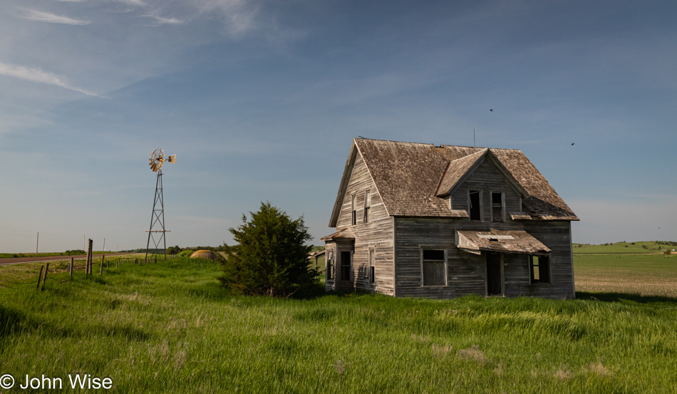
If we were birds, we’d fly about 30 miles west and drop in on the geographical center of Nebraska, which would put us literally in the middle of nowhere. This will be the closest we’ll get to that today here at 805th Road and Nebraska Route 70 south of the town of Ord. I’d have loved to explore the interior of this long abandoned house, but the dilapidated state of things I was looking at as I peered in suggested that wasn’t a great idea. Then there’s the matter of ticks; after having one buried in my leg last year during our trip to Oregon, I assure you that I have no lust for a second encounter.
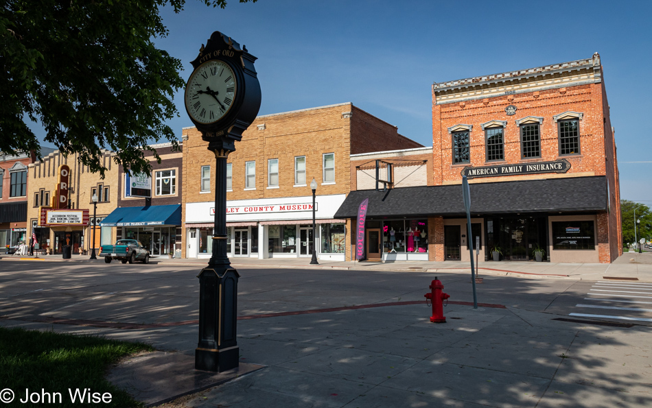
The temptation is strong to hang around Ord, Nebraska, this morning. Who doesn’t want to take in an 8-hour accordion festival? With 90 minutes until things get underway over at the Golden Husk Theater (pictured left), we made the difficult decision that if we were going to make the Canadian border, we’d have to forego the accordion jams and get our polka on at another time.
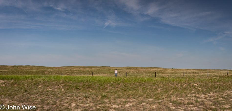
Based on the time of day between the towns of Ord and O’Neill, Nebraska, along with the fact that we are traveling north on U.S. 281, I’m guessing that this shot of Caroline taking in the broad landscape is near Wheeler, Nebraska.
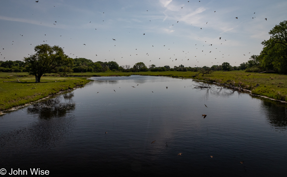
It appears that we are looking at an overflow channel of the Elkhorn River south of O’Neill, as satellite views show that this body of water can simply up and disappear. As much as we stopped for the river, it should be obvious that we are also here for the swallows.
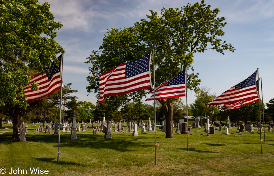
It’s Memorial Day Weekend, and each of these flags honors a different local veteran. We noted the name of Callan Arnold Peter from O’Neill, who enlisted in the U.S. Army the year I was born, 1963, and subsequently shipped off to fight in the Vietnam War with the 1st Cavalry Division. He was awarded the Bronze Star, married a woman named Jane, had a couple of children, and passed away on Christmas day in 2017 at the age of 74.
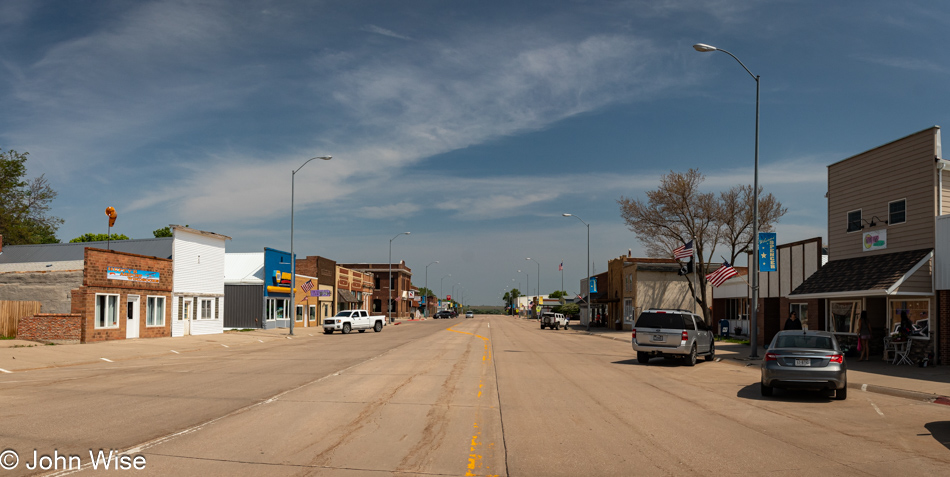
There is so much aesthetic value to love about these beautiful old towns distributed across America, while there’s also a lot to hold in disdain. The religiosity of these communities can be off-putting as, at times, it feels that their dogma is so deeply enmeshed in the fabric of the inhabitants that they have an irrational fear of change. This is often evidenced by the faltering economy that isn’t able to invest in a few things that might help retain its young population and welcome tourism, but change is anathema to the mindset that hides frightened in the hinterlands of America. And so, decrepitude creeps in and removes any hope for revival as business after business must go away just as the local children do as they come of age.
Take Huffy’s Airport Windsocks in the brick building on the left, which is up for sale. What is the likelihood that the operation will continue here in town? Since 1985, the Hoffman family has been part of the economic prosperity of the town of Spencer, Nebraska, but for how much longer can they hold out without selling their family business before they simply walk away? If an outsider does come in to take over the operation, they’d likely move manufacturing to a location where labor is more readily available and cheap. My hope for small-town America is on shaky ground.
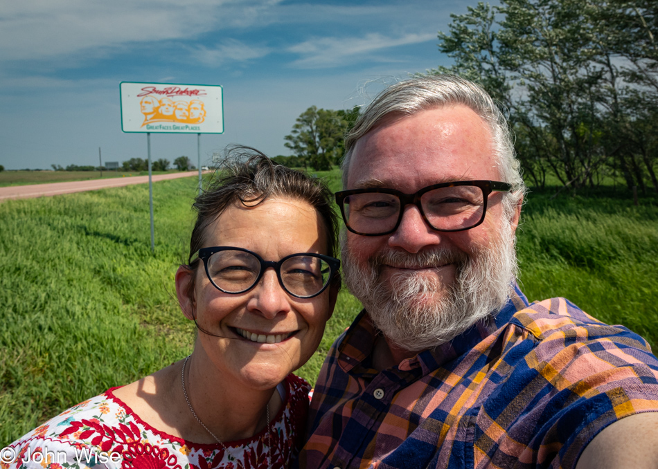
I look at myself about to visit South Dakota and can’t help but see that I’ve aged in the past 30 years, possibly more in the previous 10 years. Those of you who’ve also reached this age will likely have a better idea of what I mean, as for a long time, it seemed like I just looked like John, and from year to year, nothing much changed. When the gray started coming on harder, I knew it was an inevitability and that change was ahead. I’m certainly not lamenting the process as it is, after all just life, but I am thinking, will I be taking another selfie here at the South Dakota state line 20 years from now? Likely not, is my thought about that return date, maybe in 5 or 10, but who cares? Better live it up now, and with that, we unpacked our lunch stuff and picnicked on a windy, quiet side of the road between Nebraska and South Dakota.
We’d left Phoenix with an ice chest packed for this occasion, though we had assumed we’d get to those vittles prior to now. On that first day of traveling, we get those first inklings of hunger, but the idea of digging into a tightly packed ice chest is daunting, and it feels as though it will take too long to get to the essentials that lie deep below the ice and so we typically opt for some kind of fast food so we can maintain our pace of getting down the road. And so it was back on Thursday. Yesterday, we made it to Canadian, Texas, to find the Cattle Exchange was open for lunch. We left so stuffed that dinner was never a question, and we made do with a handful of nuts and a piece of fruit. Today, though, we lunched on cross sections of a fat dachshund named Mortadella wrapped in lettuce, slathered with mustard, and topped with a hard-boiled egg. We listened to the rush of the wind through the trees, the birds playing their favorite songs to serenade us, and smiled at one another that we both are in love with these simple things, even as we age. To celebrate our good fortune, we popped open the single can of Spindrift grapefruit soda we had brought with us, our version of sparkling wine.
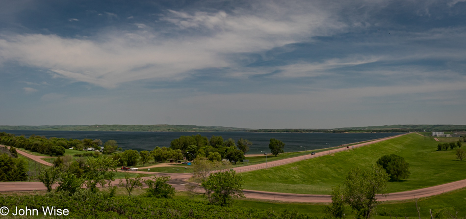
Oh, a scenic overlook ahead? Don’t mind if we do. It’s the Missouri River and Fort Randall Dam in Pickstown, South Dakota, out there, and like so much of this trip out here, we’re the only ones bothering to take the sights in. Surprisingly, there are very few boats out on the water, while it does look like there are a dozen or more potential campers over next to the shore.
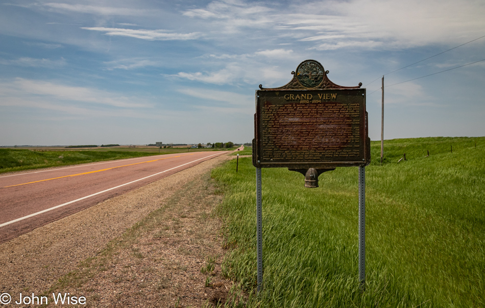
This sign makes note of a town called Grand View that was once found here on the right side of the road. That town didn’t make it. I wonder how many more of these signs will be placed roadside over the coming years when all that remains are the few photos when people took time to share their experiences in these faraway places scattered across the middle of the United States.
At this point in our marathon road trip, the southern part of South Dakota has been the most monotonous. This is not a complaint, just an observation because, in reality, we are looking for that legendary place out here that is as flat as a pancake so we can marvel that such a place exists, but so far, there’s enough undulation around that we doubt such a uniformly level landscape exists outside of lore.
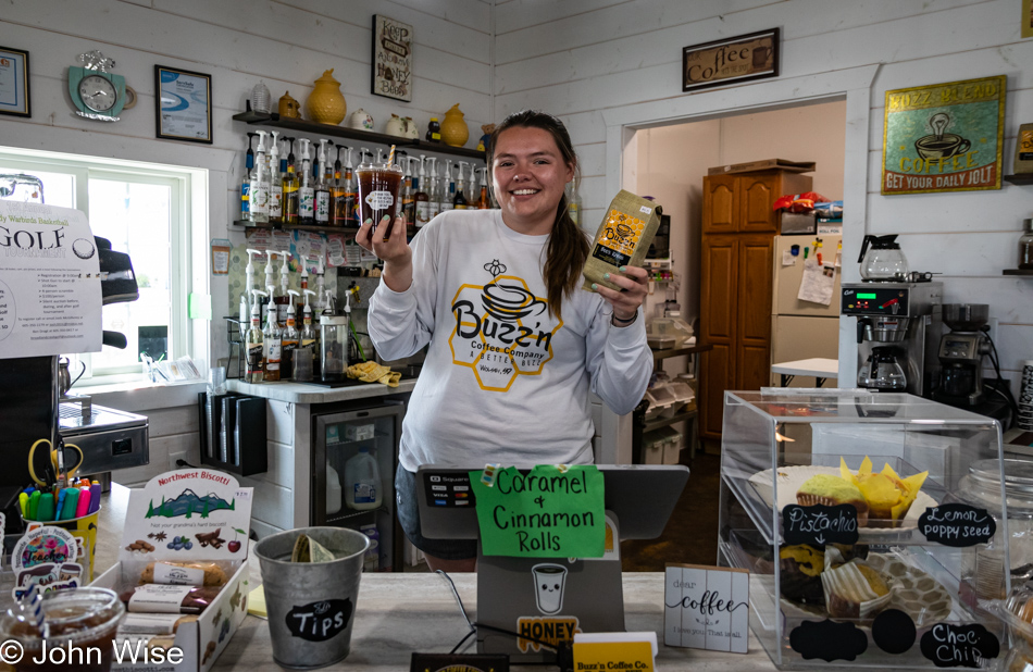
Buzz’n Coffee Company in Wolsey, South Dakota, was open and was ready to serve us a couple of cold brews at a time when caffeine was going to come in handy. These kinds of endurance trips require that if we find a local coffee shop that’s open, to take advantage of the opportunity as it may be another one or two hundred miles before the next one is encountered. This little caffeine oasis on the Great Plains was opened by a local retired teacher, Carol Rowen, just before the pandemic hit, and here it is a few years later, and they’ve been able to hang on. Today, we were served by Mackenzie, and after hearing about the shop, we bought a pound of their coffee and a couple of muffins to support their efforts. Should we ever pass through again, I hope they will still be here.
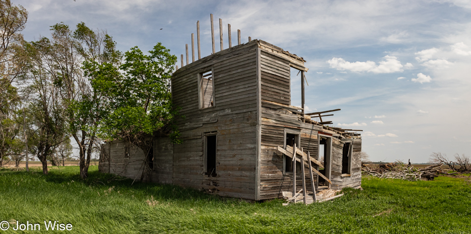
The family that was once living the dream in this house has obviously resigned from the toil of trying to survive the demands of farming and its economic uncertainties.
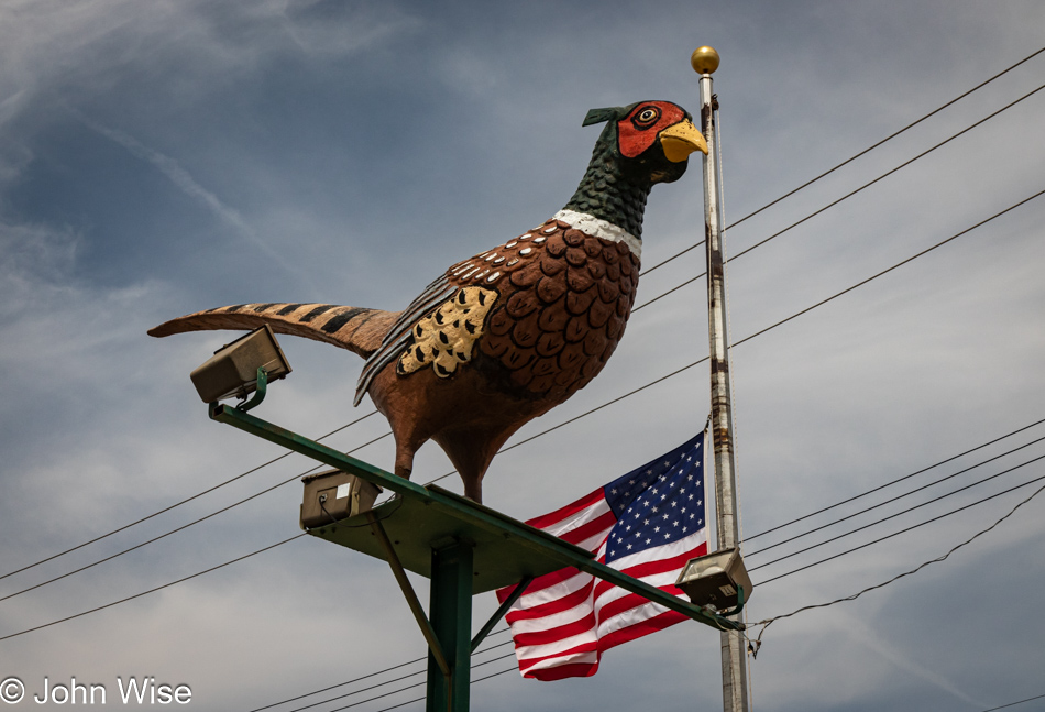
By the time we reach Redfield, South Dakota, we’d already seen a couple of pheasants but none this large or willing to stay still while I get the camera ready.
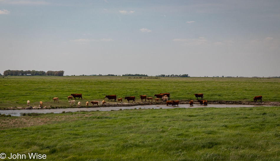
At what point will humans no longer have the opportunity to see things with their own eyes before they’ve seen them on an electronic screen? How many times do we see a scene such as this one above where cows are walking across a ranch with members of the herd emerging from a shallow stream slicing across the landscape? Except in the celluloid portrayal, the sky is perfect, the camera frames things just right, and an appropriate amount of dust is kicked up to convey the correct sense of place. Doesn’t this, though, set us up for disappointment with reality? While this hasn’t happened to us, I do wonder how many people allow movies and streaming media to influence their thoughts about what they do and don’t like.
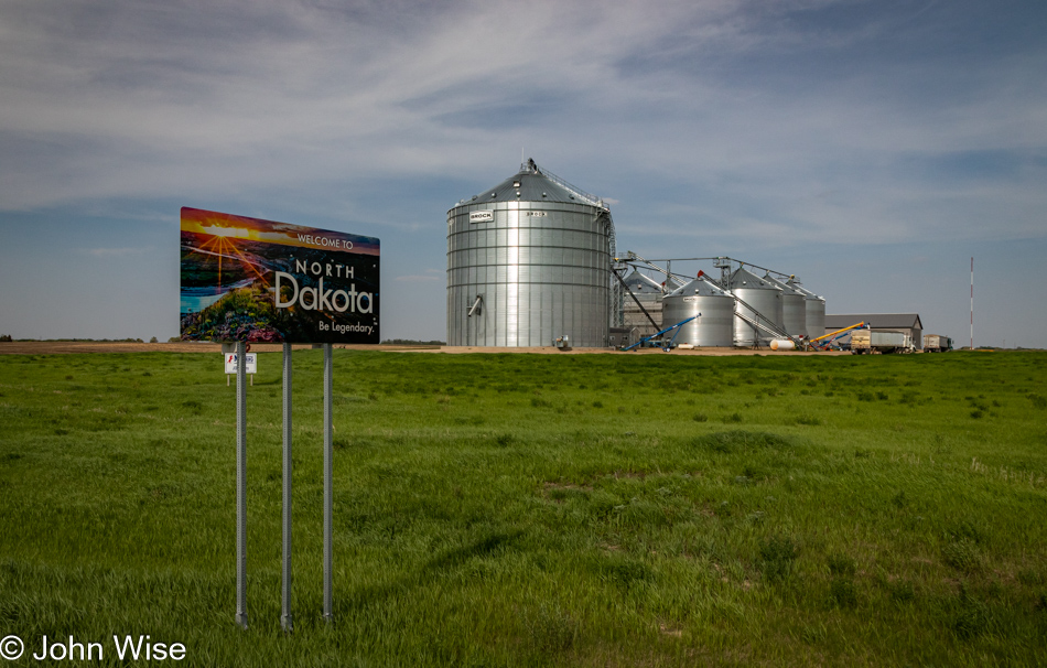
In our version of a kind of reverse Tetris, where we are the shape going forward, turning, and positioning to be in the place we need to be next, we have entered North Dakota.
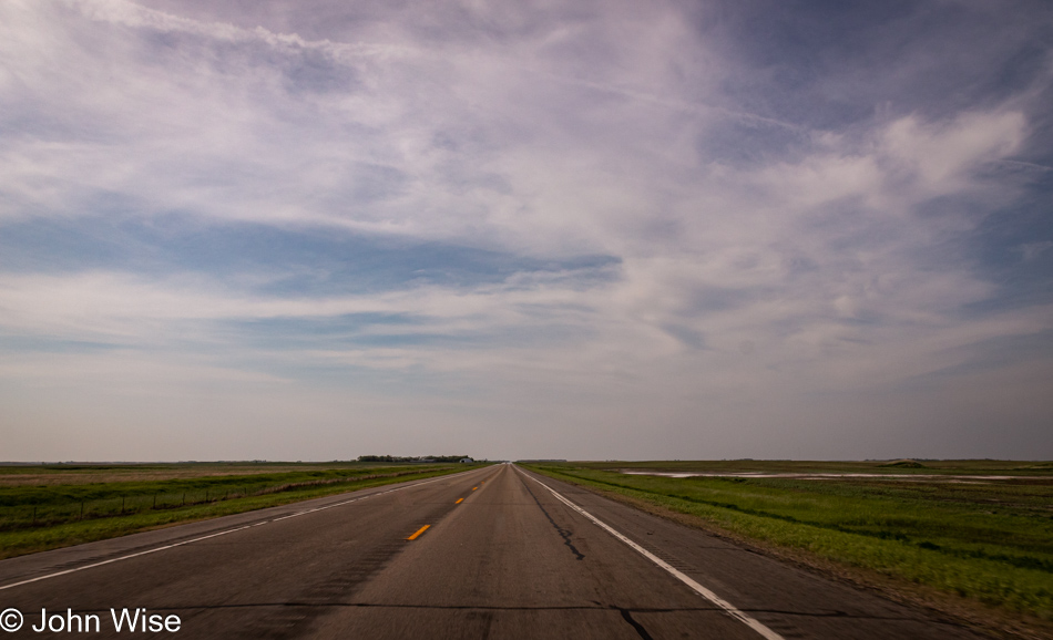
We’re a straight piece falling in a line that way. Before you wonder about that slight pink hue of this image, let me explain that I took it through the windshield, which added its own “flavor.”
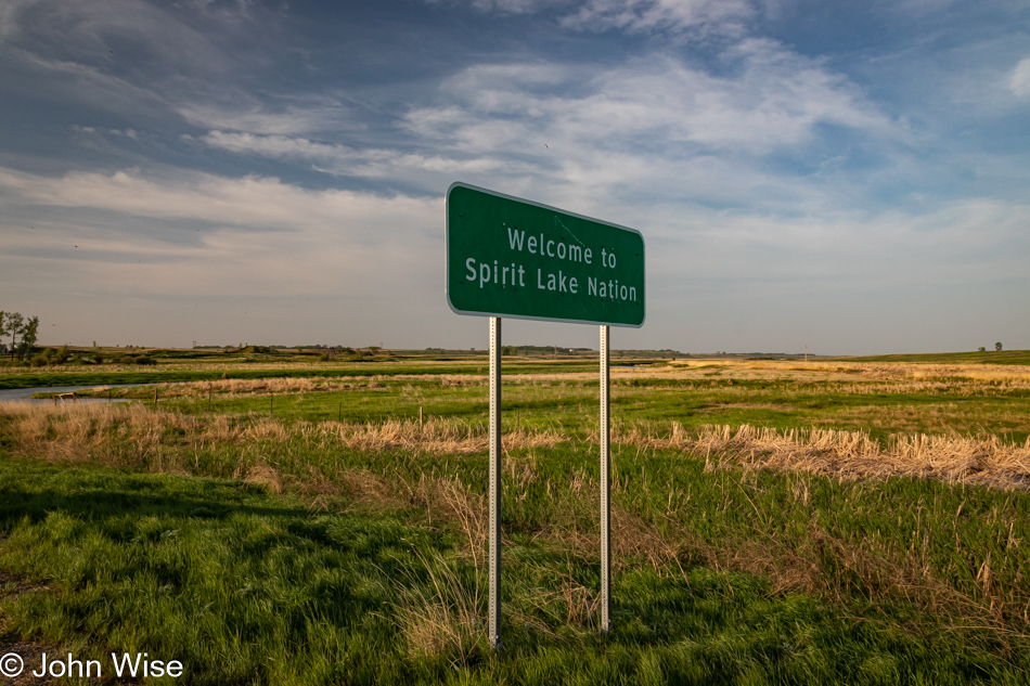
What an entanglement this is; we have entered the lands of the Spirit Lake Nation, though, for the Caucasian population, the namesake lake of these tribes is Devils Lake. I refer to tribes because there’s an agglutination of native people that have been clumped together on this reservation, including the Pabaksa (Iháŋkthuŋwaŋna), Sisseton (Sisíthuŋwaŋ) and Wahpeton (Waȟpéthuŋwaŋ) Indians. It seems to me that keeping the name Devils Lake for a body of water that the Native Americans hold sacred is a bit rude, maybe even downright disrespectful.
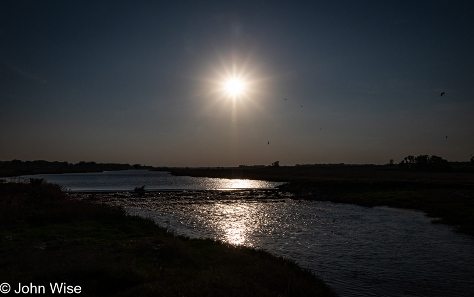
We are crossing the Sheyenne River, and after learning that every bit of lodging around Devils Lake is booked, we are aiming for Rugby, North Dakota, where we snagged one of the two last rooms available this Saturday night.
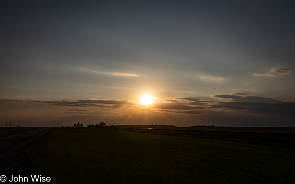
By the time we reach our destination, the sun has dipped below the horizon here in the small town of Rugby, the Geographical Center of North America. The funny thing is that Caroline and I have been through here before, well, at least according to our map but something didn’t feel right, like, how’d we miss this geographical center the last time? So, I returned to that old series of blog posts from 2004 when we passed through North Dakota with Jay Patel on a cross-country trip. Damn, we left Williston, North Dakota, and aimed for Garrison and finally Mayfield, but apparently never hit U.S. Route 2, which means our map is inaccurate, drats. I guess we’ll be fixing that after we take possession of a new map, seeing our 19-year-old disintegrating relic of a map held together with more tape than paper is going to be retired following this trip.
Our room at the Northern Lights Inn likely hasn’t been used since last year, considering that the toilet is bone dry, but more than that, there’s a skin of brownish rusty scum lining the bowl; it’s as gross as it sounds. Trust me, I thought about complaining, but there were no other rooms anywhere nearby, and from the attitude of the desk clerk, he wasn’t about to clean it himself and would have jumped to give us a refund, telling us the room wasn’t usable and that he had nothing else. Flushing helped a bit while trying to pressure pee it away did little. We chose to ignore it which wasn’t that difficult as we’ve ignored worse, I think. For $92.84, one might expect better, but with more than 70 miles between us and the next hotel, beggars couldn’t be choosers.