Left Santa Fe early but late enough to allow us another opportunity to have breakfast over at the Pantry Restaurant. With that out of the way, we pointed the car toward Albuquerque. We had a mission that had us dropping in on the Petroglyph National Monument for the experience that precedes qualifying for yet another junior ranger badge.
With ample signage warning visitors not to leave ANYTHING visible in their cars at the Rinconada trailhead parking lot, we used this admonishment to go someplace else. We opted for a trail that had us backtracking a bit north to Piedras Marcadas Canyon. I didn’t have a good feeling about our hike starting off under these circumstances as I couldn’t help but think that maybe Albuquerque had started modeling itself after the TV series Breaking Bad. Not that I know a lot about that show, but I do know that gangsterism, meth, mayhem, and more meth were the central themes, using Albuquerque as its location.
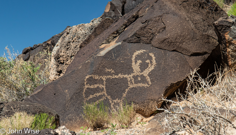
Obviously, we’re walking the Piedras Marcadas Canyon trail by now, collecting petroglyphs in the camera.
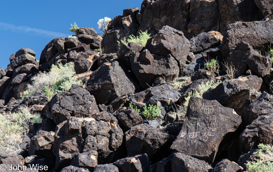
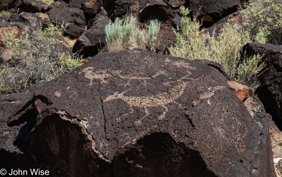
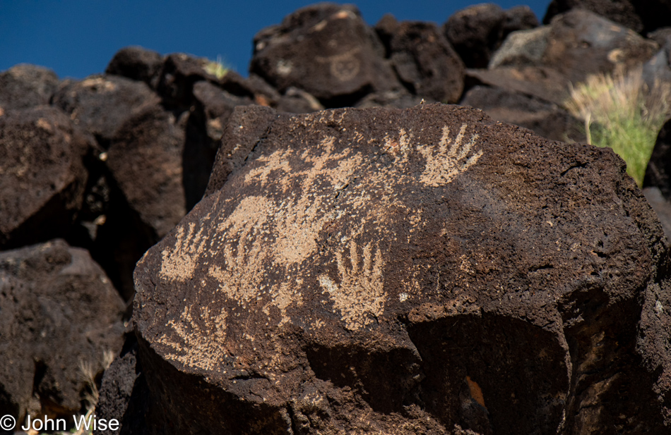
Within the Petroglyph National Monument, there are an estimated 25,000 etchings that have been carved into the patina of the rocks stretching over the 12 square miles the National Park Service protects.
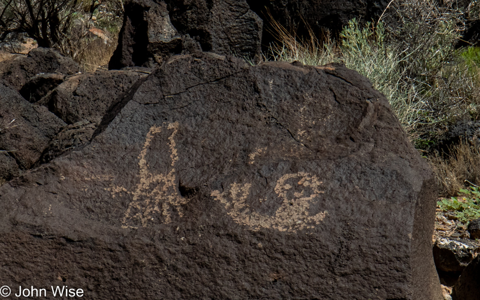
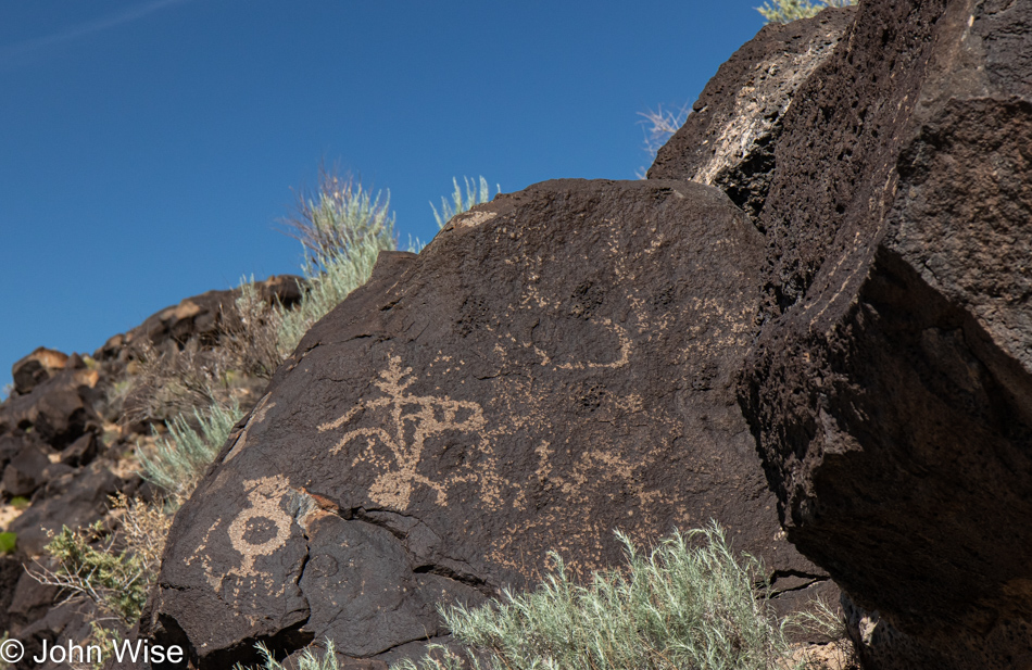
The oldest petroglyphs are estimated to be over 4,000 years old, but I’m guessing this one of a boy riding a snail is not one of those, though the early rendition of the Flying Spaghetti Monster to the left could predate Jesus.
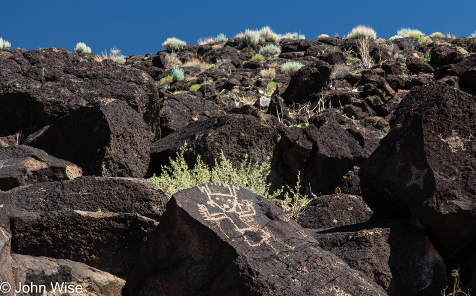
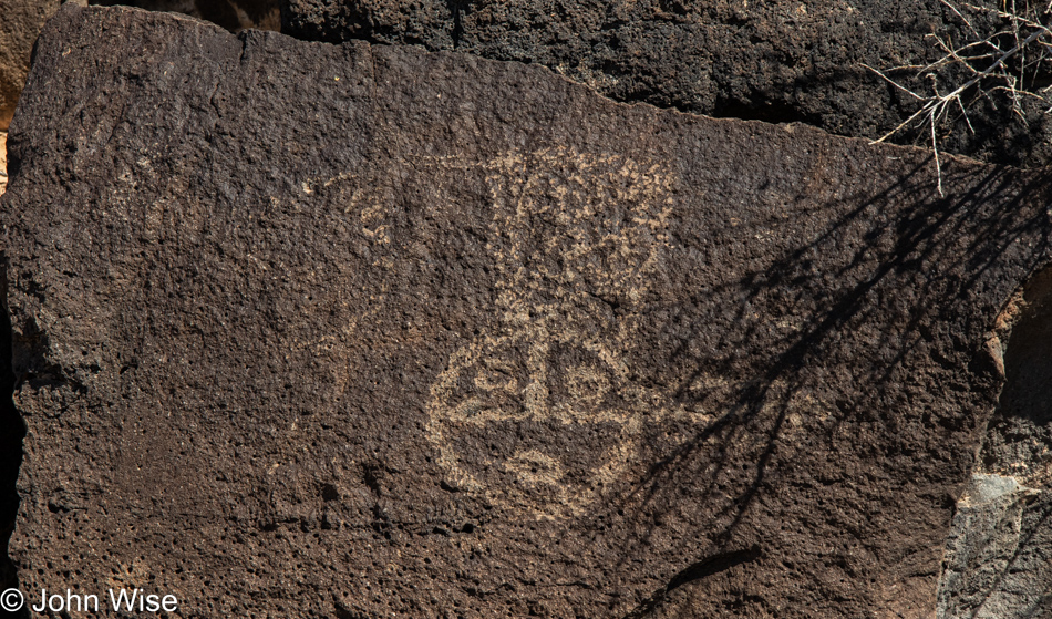
This beautiful petroglyph I’m interpreting as, “Oh my god, it’s summer and there isn’t a tree anywhere to find shade under.”
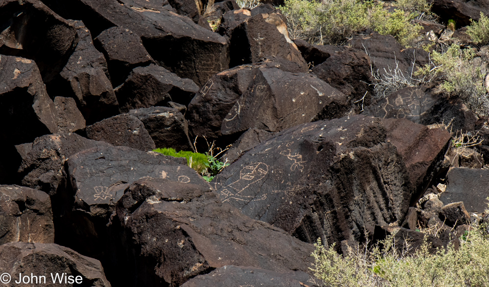
From our perspective on a fenced trail, there are multiple dozens of petroglyphs etched into the rocks right in front of us. This has me wondering how many are out of view because what are the chances that consideration was made by early inhabitants to ensure their messaging would be visible to those that passed below?
The trail through here, while it’s been here a long time, wasn’t always so well defined, as evidenced by the worn side paths that are still growing over. I’m guessing that some decades ago, people were basically allowed to scramble over the boulders to see what they could see.
Seventy years ago, visitors didn’t understand the value of these sites and didn’t think anything about walking on fragile areas of Yellowstone, breaking off a chunk of stalagmite at Carlsbad Caverns, or crawling on the walls of an old pueblo. Today, it feels as though there is a wanton desire to destroy for the sake of destruction and leaving your own personal mark on something that cannot be repaired. Just as we learned that areas of Bandelier that were once visitable and likely listed in our old park brochure are no longer on maps in order to dissuade others from finding and harming these historic sites, it makes me wonder how long we’ll have access to seeing these petroglyphs with our own eyes.
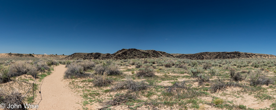
Our short 2-mile hike took us about 90 minutes of walking through sand that only grew progressively warmer as we went along. Good thing Caroline had a gallon of water on her back. Time to return to the visitor center for you know what.
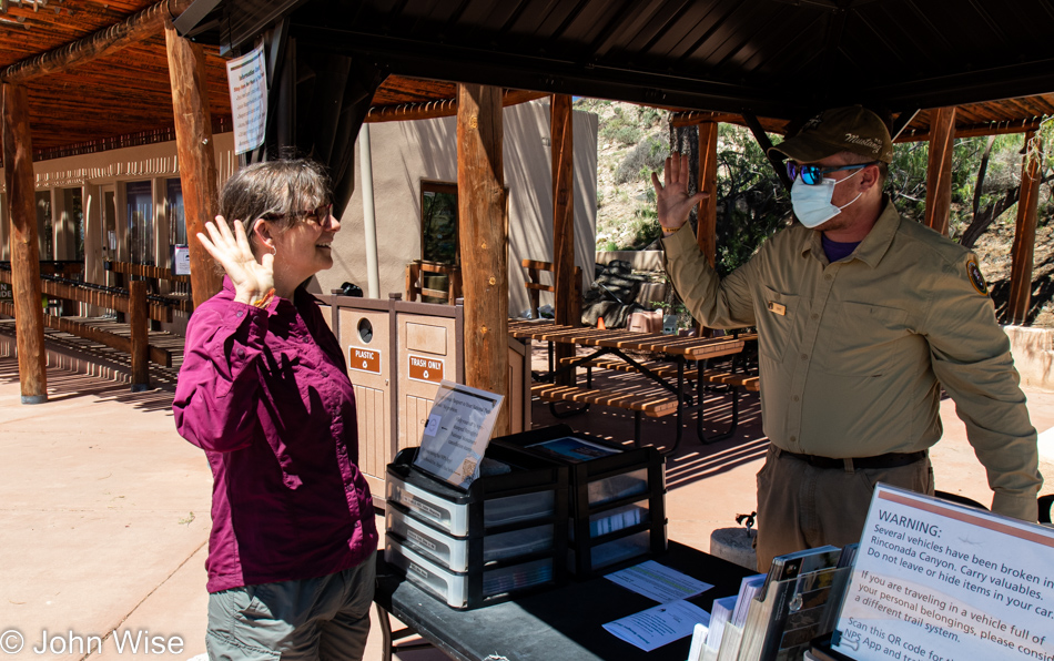
Yep, swearing in as a fully-fledged Junior Ranger at Petroglyph National Monument in Albuquerque, New Mexico. It’s still too early in the morning to go find Sadie’s for some of their regional eats, so we’ll get on the road as there are still 420 miles ahead of us on our way home.
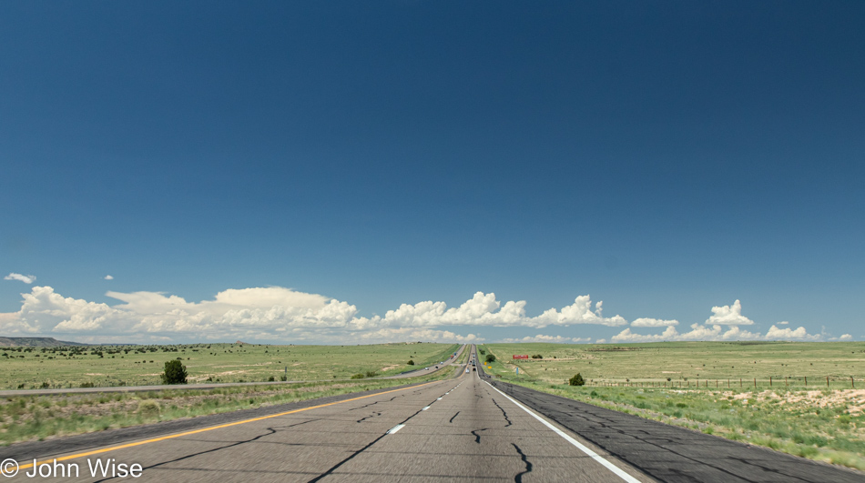
This long, straight road ahead takes us to Arizona (unless we detour).
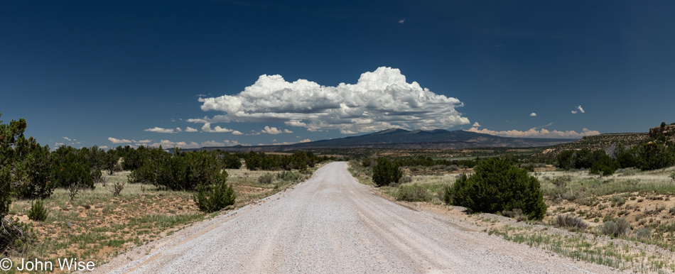
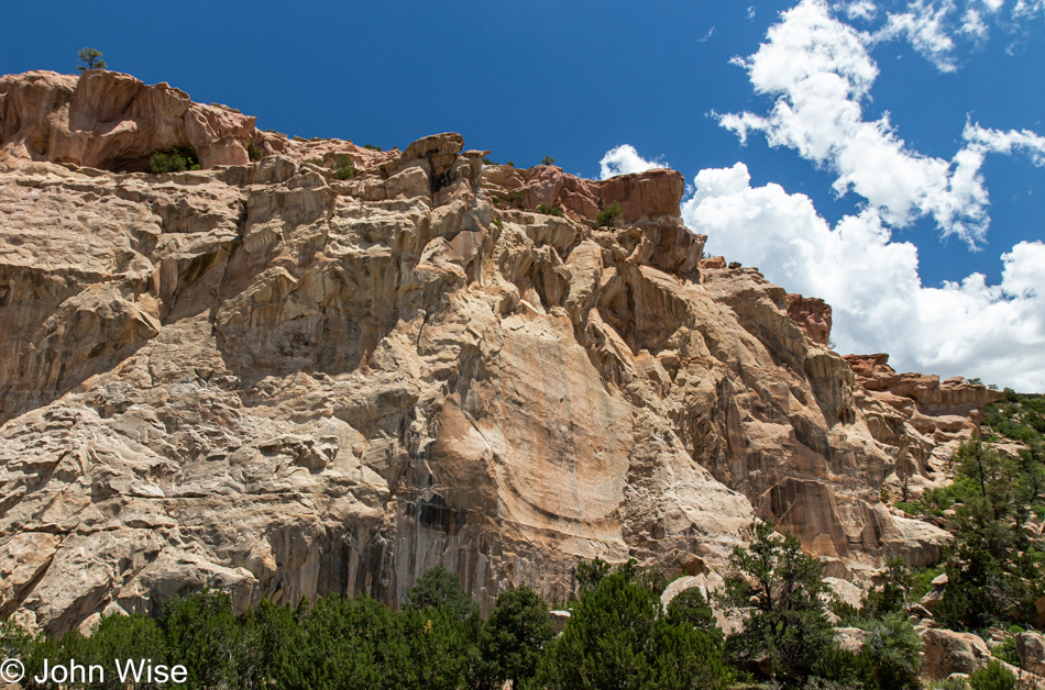
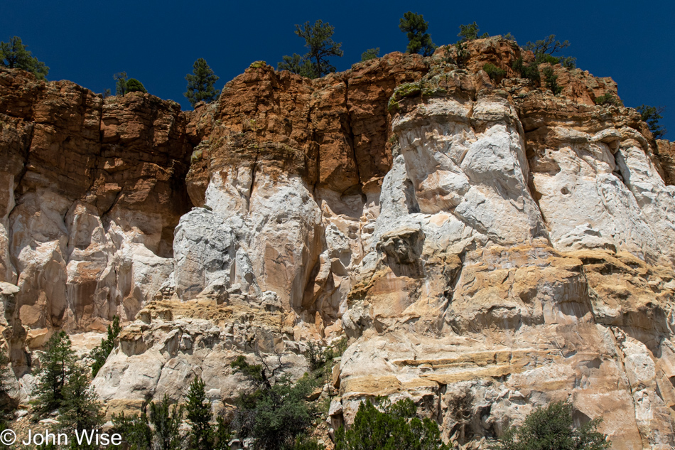
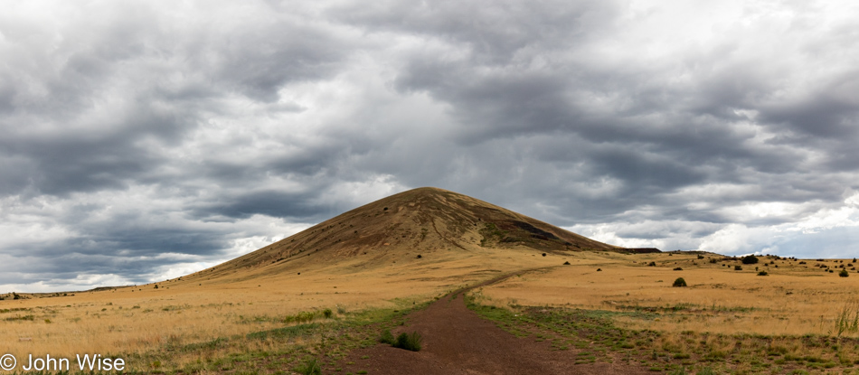
Of course, we had to detour; we are John and Caroline, and lingering is part of who we are. Taking Interstate 40 to Interstate 17 for the fastest straightest shot home sounded so incredibly boring that anyone should know that we’d never take that route. So, in Grants, we left the freeway to travel back down through El Malpais National Monument just as we did back on May 15, two months earlier.
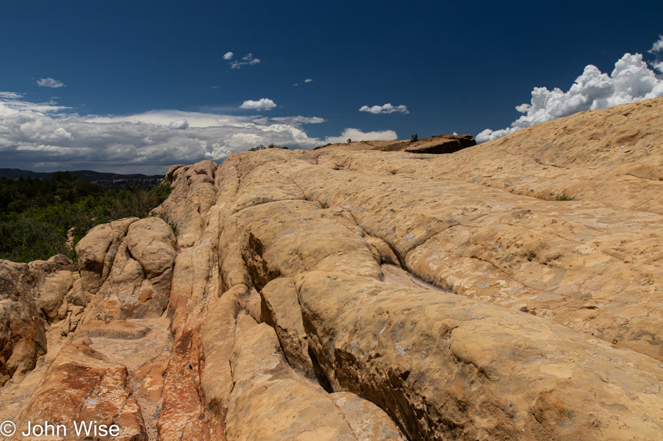
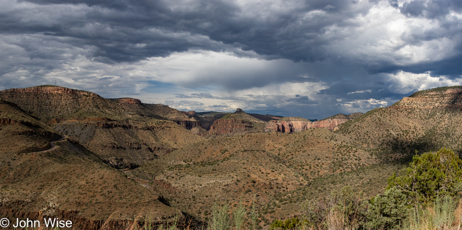
Sixty days ago, in order to save time for the other things we wanted to do out here, we skipped the Sandstone Bluffs Overlook, but not today.
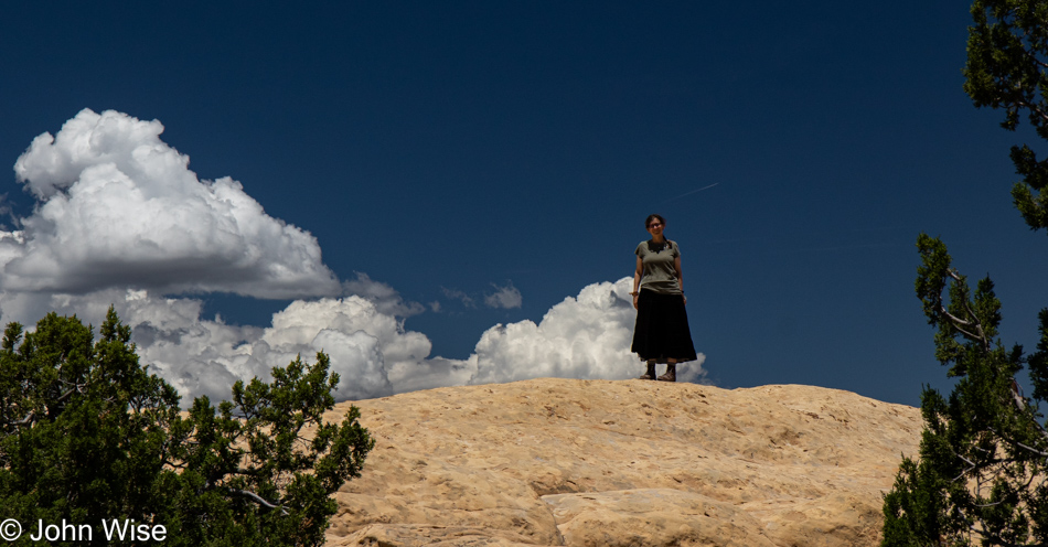
Caroline went one direction, the way of the daredevil unafraid of heights, while I took the more terrestrial path.
While she was up there somewhere on the right, I made this my viewpoint.
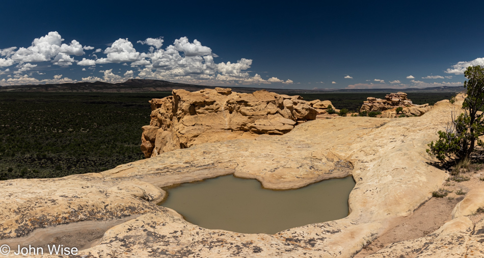
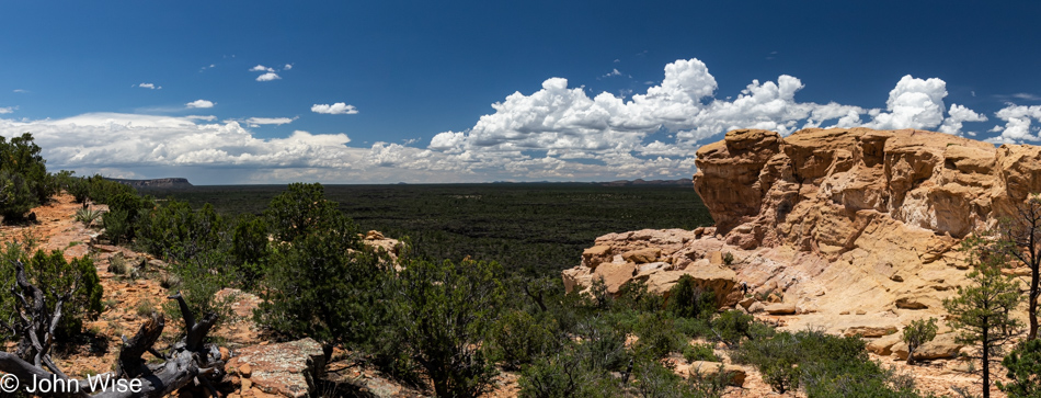
Until we converged again to take off for another view from the bluffs.
Maybe this looks somewhat familiar from our trip last month.
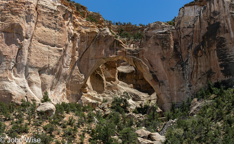
It should have, as we are right back out here at La Ventana Arch, but the lighting feels better.
Right up atop this cliffside is the Narrows Trail we’d love to revisit already, but time won’t allow it today.
Well, let’s be serious, time would allow it if I’d not set my mind on eating at Guayo’s El Rey in Miami, Arizona, meaning we would have to reach that small town before it grows too late. As it turned out, we had to go to Guayo’s on the Trail in Globe as the unreliable Google, while knowing the existence of these businesses, didn’t know that the Miami location was closed for vacation until the 22nd. Good thing I called ahead due to my growing mistrust of anything shared by Google.
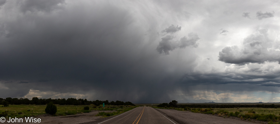
For the rest of our drive home, we’d hit rain here and there, often quite heavy. While the cloud cover makes for somewhat dull landscapes regarding color and brightness, it sure does have the potential to lend drama to a sky.
What’s worse than driving mountain and canyon roads during heavy rain here in Arizona? Driving on any roads in the rain anywhere in this state.
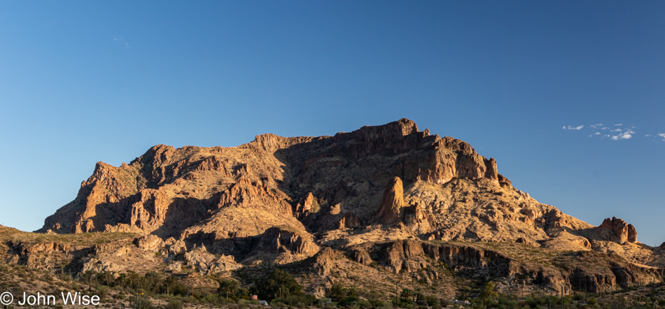
Dinner at Guayo’s on the Trail was not at all what I was looking for and now has me wondering if the two Guayos are even related. One thing is certain: I’ll never visit the Globe location again. As you can tell from the sky over Picketpost Mountain in Superior, the rains have stayed behind while we return to the hot, dry desert of Phoenix.