Santa Barbara, California – Day 1

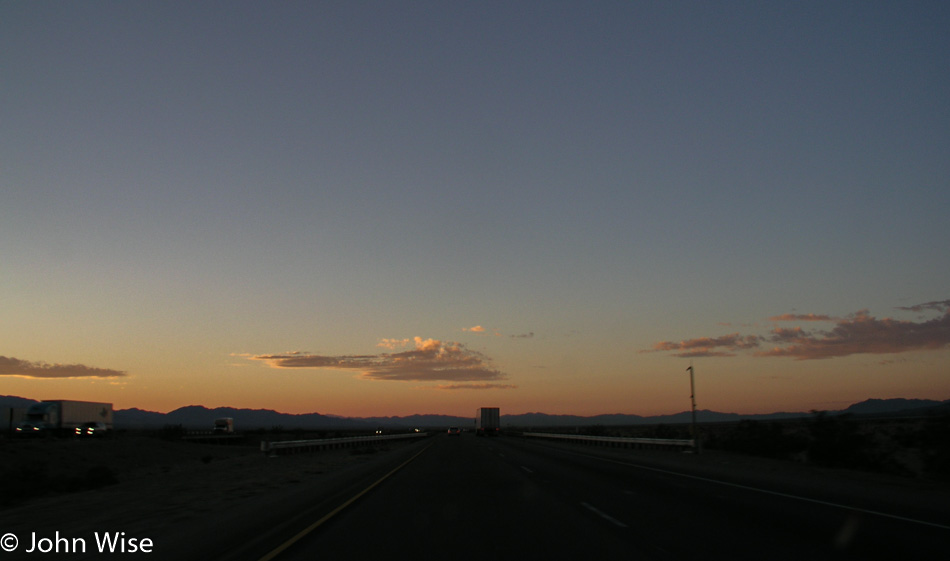
Driving west on Interstate 10

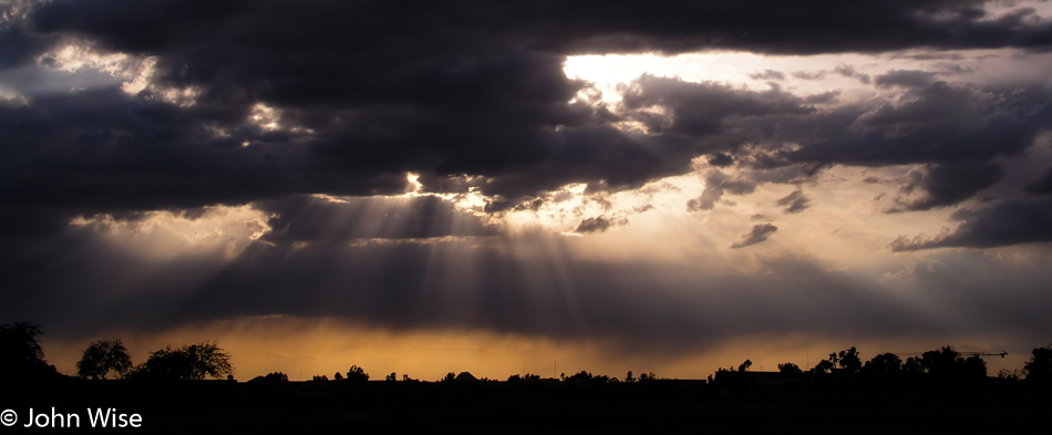
We are literally driving into the sunset as we head west on Interstate 10 from Phoenix to Southern California towards our destination, Santa Barbara, over on the coast.

Standard disclaimer that this post was not written on or near the date it shows up on my blog. This particular sequence of days wasn’t written about until September 2022 as I was trying to better catalog our travel images on this site.

New Mexico – Day 1

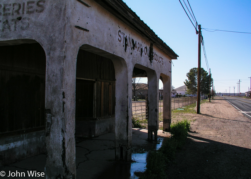
J. Fred Blake General Merchandise in Solomon, Arizona

Ruins of any sort, and I’ve got to stop. Someday, these decaying relics will be gone as will I, but the photos of our history will live on somewhere out there on the Internet. This particular stop was in Solomon, Arizona, on Highway 191 at the J. Fred Blake General Merchandise store. Who was Mr. Blake? The information that I found is a bit sketchy, but it appears that his father was John Blake, born in 1849 in Scotland. His son was J. Fred Blake, who was likely born in Tombstone, Arizona, around 1885. While John was originally a grocer, he’s listed as a miner on his death certificate of 1918. Back when the store was in business, the town was called Solomonville; J. Fred died in 1962.

East of Solomon on Highway 191 in Arizona

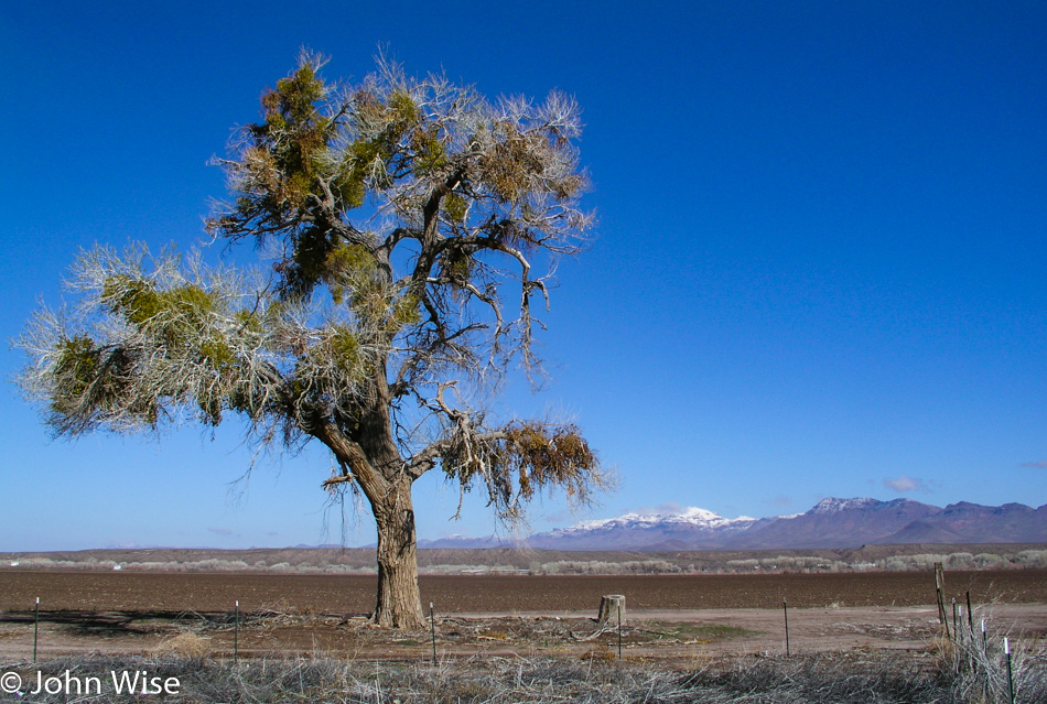
Our two-day excursion out and back started this morning, and while we have a few stops planned on our jaunt to fetch dinner and breakfast at the El Camino Family Restaurant in Socorro, New Mexico, we’ll take whatever comes our way and looks interesting. Those snow-capped mountains are welcome for the beauty they add to the photo, but again, I think we have forgotten we are still in winter.

Old Safford Road also known as the Black Hills National Back Country Scenic Byway in Eastern Arizona

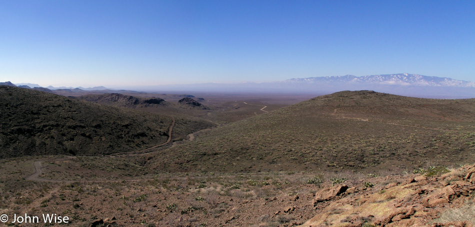
This is the Old Safford Road, now also known as the Black Hills National Back Country Scenic Byway. Just past this overlook, we ran into some snow that, while beautiful, had made a muddy mess in a shaded corner that would have been a horrible spot for us to get stuck in with our little Hyundai. Keep in mind that we do not travel with a cell phone, not that one would work out here anyway.

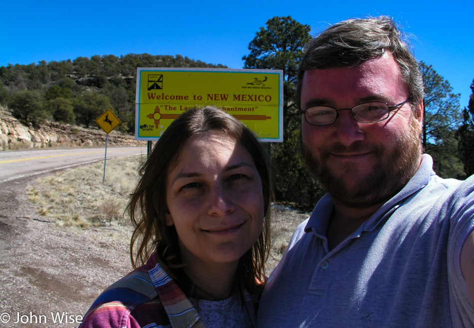
Caroline Wise and John Wise at the New Mexico border with Arizona on Highway 78

Crossing from Arizona into New Mexico on Highway 78, should you be interested in tracing our steps on a map.

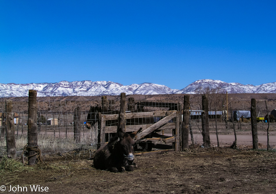
Donkey at Last Chance Liquor in Buckhorn, New Mexico

The amount of snow out there does give us some concern, but we can always turn around if we find our path forward would be too icy or snow-packed. We met our donkey buddy here at Last Chance Liquor in Buckhorn, New Mexico.

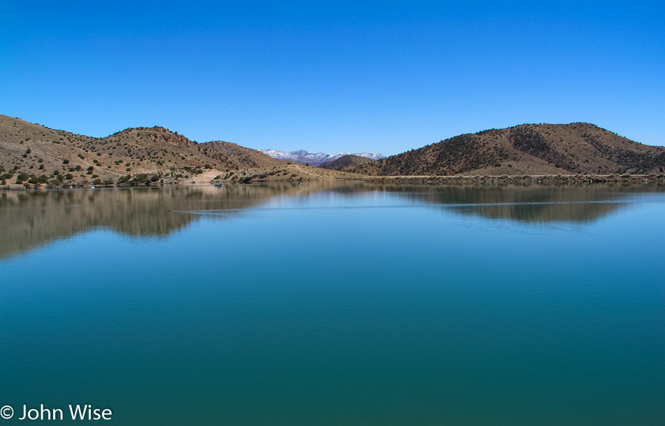
Bill Evans Lake south of Greenwood Canyon, New Mexico

We’re not only heading south because there’s no other way, really, but we are also driving south because there’s a lower chance of driving into the snow. This stop along the way is at a remote little lake called Bill Evans Lake, which is south of Greenwood Canyon, New Mexico.

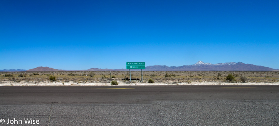
Butterfield Rest Stop on Highway 180 about 20 miles north of Deming, New Mexico

Had our goal today been to avoid human contact, we’d be winning a door prize because we really feel that we are well off the beaten path. We are coming from the direction of Silver City, stopping for a break at the Butterfield Rest Stop on Highway 180, about 20 miles north of Deming, New Mexico. After passing through Deming, we drove up Highway 26 with a stop in Hatch for a quick bite before joining Interstate 25 North.

Bosque Del Apache Wildlife Refuge south of Socorro, New Mexico

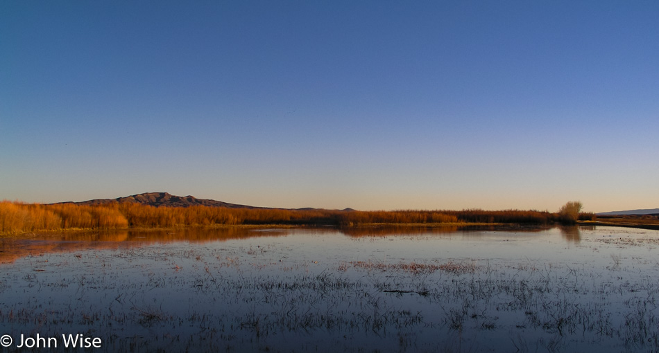
Sunset was spent at the Bosque Del Apache Wildlife Refuge, where we didn’t see very many birds at this time of year; maybe they are already flying north as spring is right around the corner.

Bosque Del Apache Wildlife Refuge south of Socorro, New Mexico

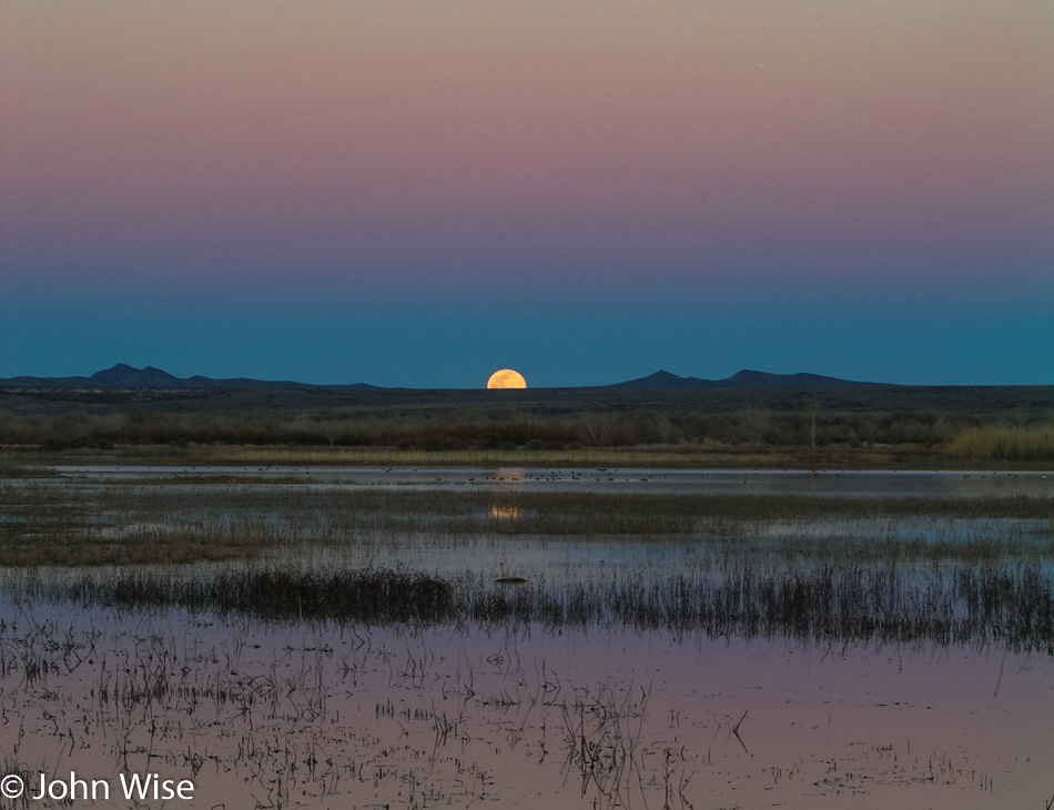
Not only the sunset but the moonrise too at the refuge. Dinner was, like I said earlier, at the El Camino Family Restaurant, and as usual, Caroline opted for the chile relleno while I went for the green chile-smothered steak.

Oregon Coast – Day 3

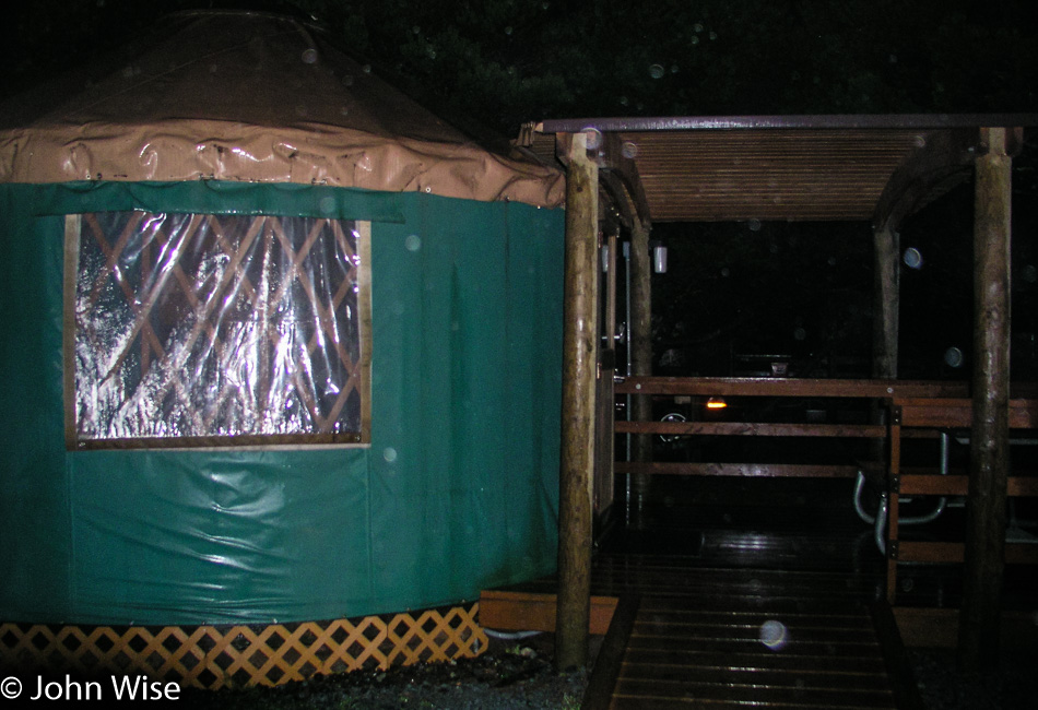
Yurt at Nehalem Bay State Park in Oregon

It’s raining when we wake during the night, but listening to the rain patter on our canvas yurt was like the sound of a perfect lullaby. We only booked two nights in yurts on this first exploration of the Oregon Coast and now wish we had one more night in a yurt before heading back to Phoenix. We’ve already decided that we will have to return again and again, and as often as we can, we’ll make an effort to stay in a yurt.
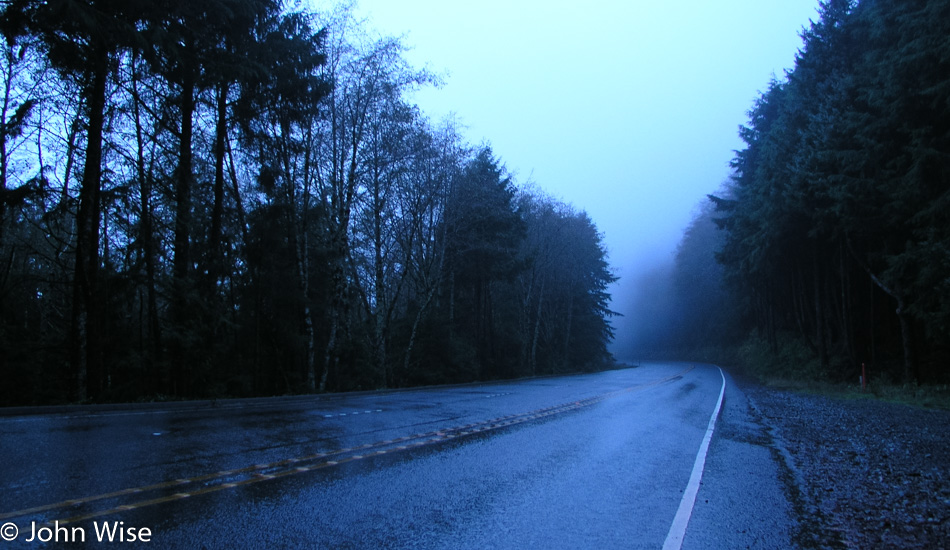
Dawn on the Oregon coast

Because it has been our goal to see the coast from bottom to top and back to bottom during our stay out here, it’s imperative that we rise with first light. We know that we’ll miss stuff as we drive at night, but hope that on the way back, we’ll catch some of what we missed. Also, due to the relatively short amount of time we have up here, we must curtail some of the stops for photos, or we’d get nowhere. As it is, I’m going to be posting quite a few images to accompany this day because so many of these images stood out to us and cut an indelible impression in our imaginations forming some memories we hope to carry our entire lives.
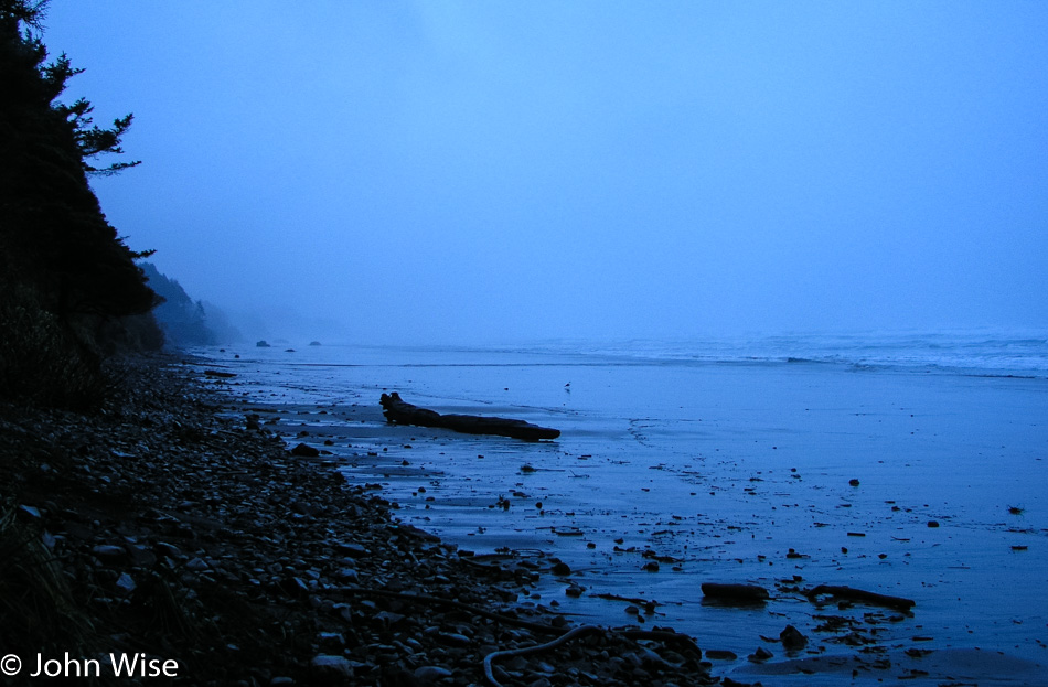
On the beach shortly after dawn on a foggy day on the coast of Oregon

Our first real walk of the day was at Arcadia Beach. The dampness, color, fog, and sound of the crashing waves all work to make for perfect scenery for both Caroline and me.
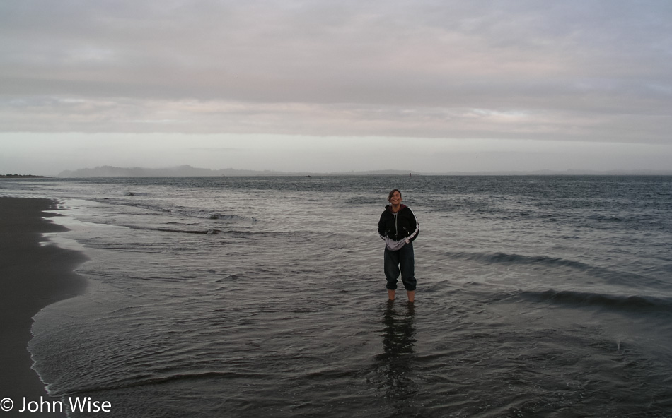
Caroline Wise standing in the surf on the Oregon coast

The cold will not deter Caroline from doffing her shoes and rolling up her pants (that rarely helps because she so frequently gets caught by the wave she didn’t see) to step into the Pacific for that picture of her standing in water. Some day, I will have to collect all the images from coast to coast we’ve shot of her standing in a lake, river, ocean, or creek and post a blog entry just about her visits to America’s waterways.
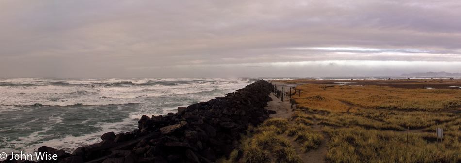
Oregon Coast

The contrast between the wild ocean and wind-swept golden grass is a sight for us to remember. Click the image for a larger view of the panorama, or click here.
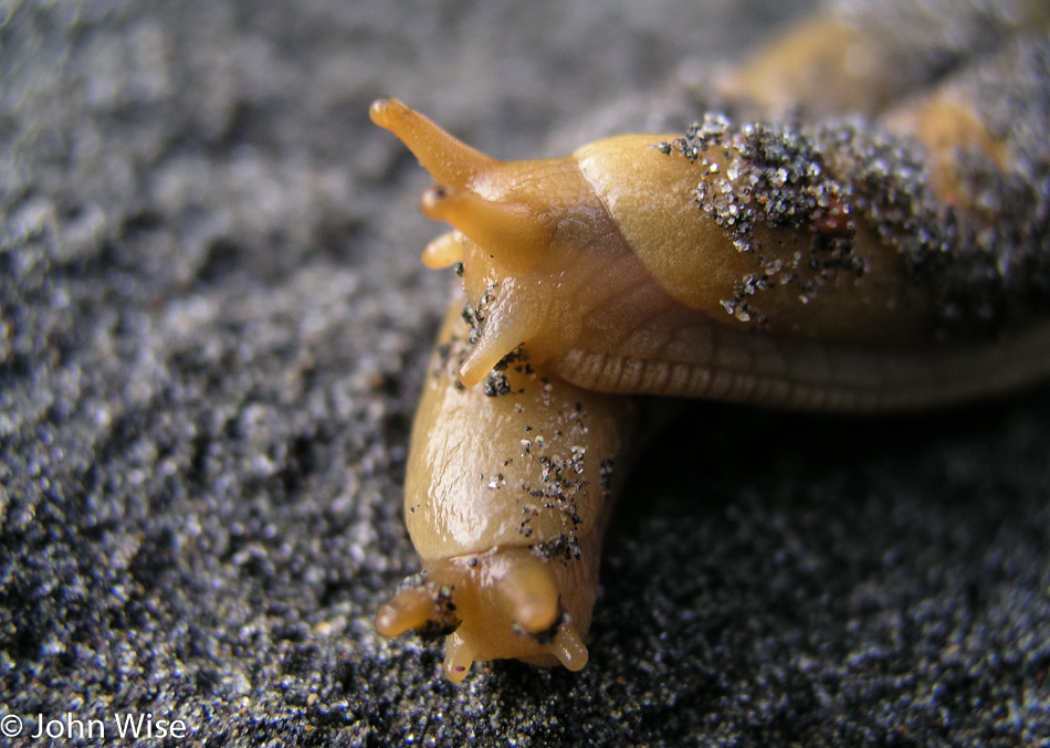
Two slugs in love on the Oregon coast

Two slugs in love on the coast of Oregon reminds Caroline and me of us!
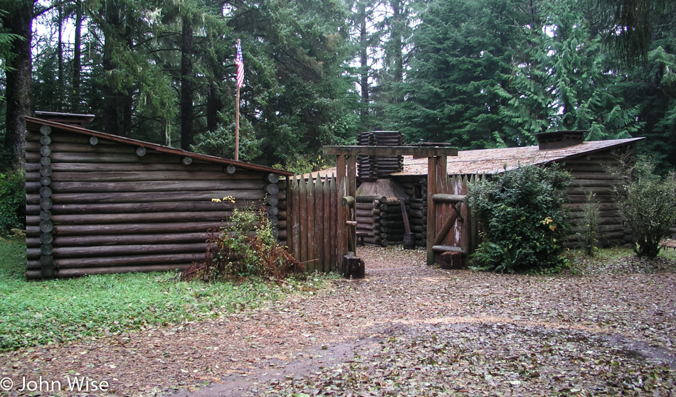
Fort Clatsop Lewis and Clark National Historic Park in Astoria, Oregon

Lewis and Clark slept here. Well, not really right here, as this is a recreation, but this site marks the end of their journey across the western territories to the Pacific. We are at Fort Clatsop – Lewis and Clark National Historical Park in Astoria, Oregon, near the mouth of the Columbia River.
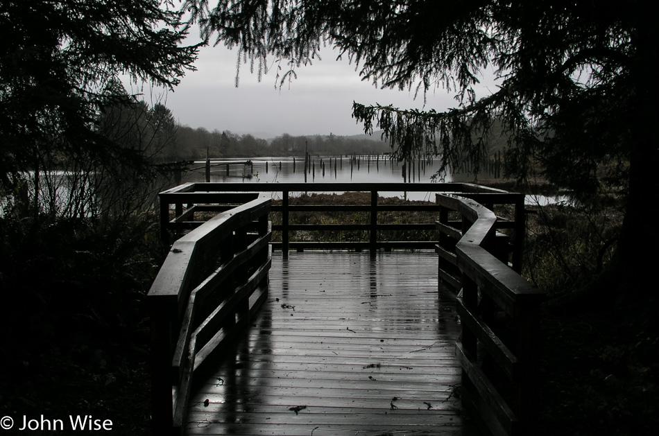
Fort Clatsop in Astoria, Oregon

It’s another world out here at Fort Clatsop, with the weather lending to the sense of what a cold, wet day might have been like for Lewis and Clark.
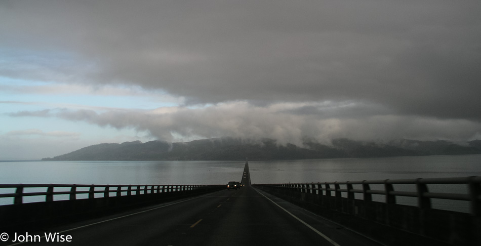
Crossing into Washington from Oregon over the Columbia River in Astoria

Crossing from Astoria, Oregon, into Washington over the Columbia River.
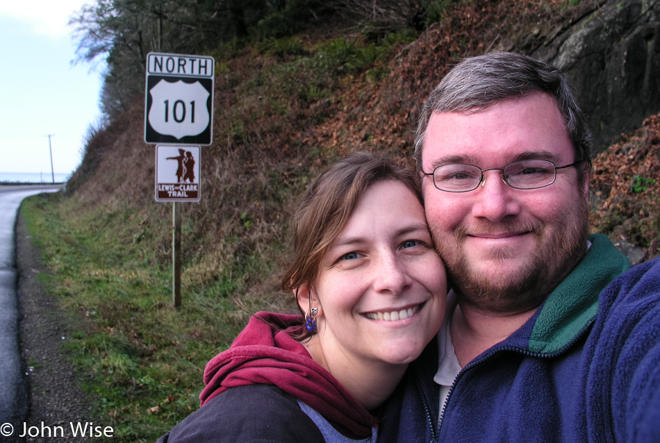
Caroline Wise and John Wise on the Lewis and Clark Trail in Washington on the Columbia River

We went to Washington for bragging rights, so this trip on the Oregon coast would include visits to California and Washington too.
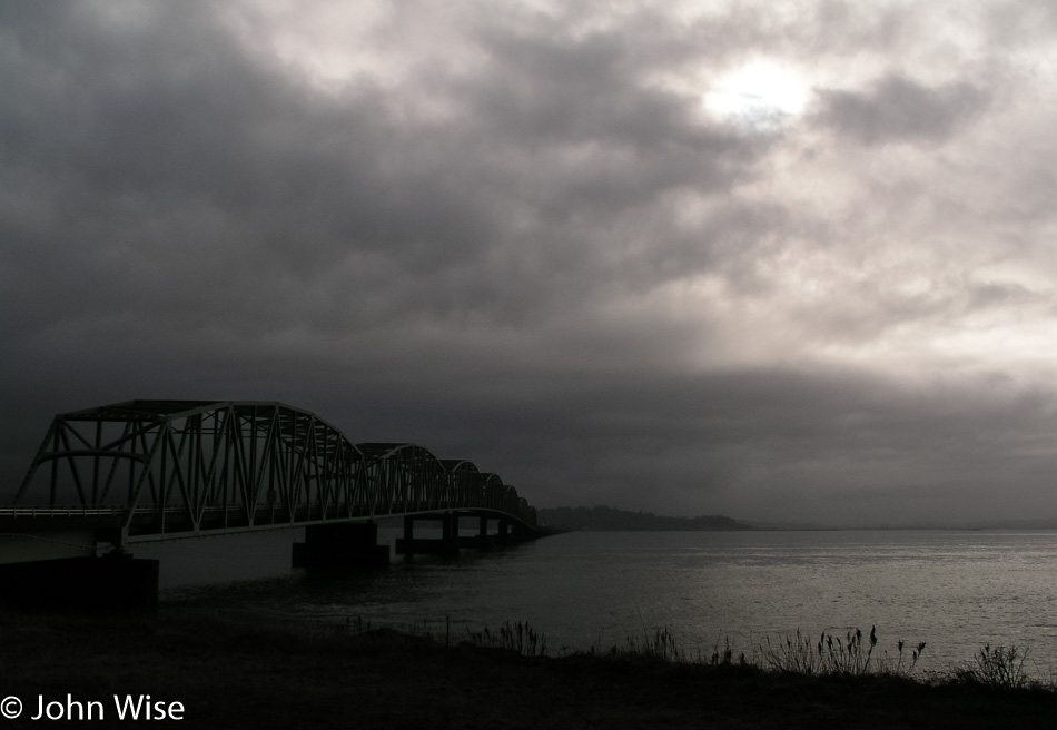
Looking south from Washington to Oregon

Looking back south to some dark, harsh weather over in Oregon while we head into clearer skies in Washington…
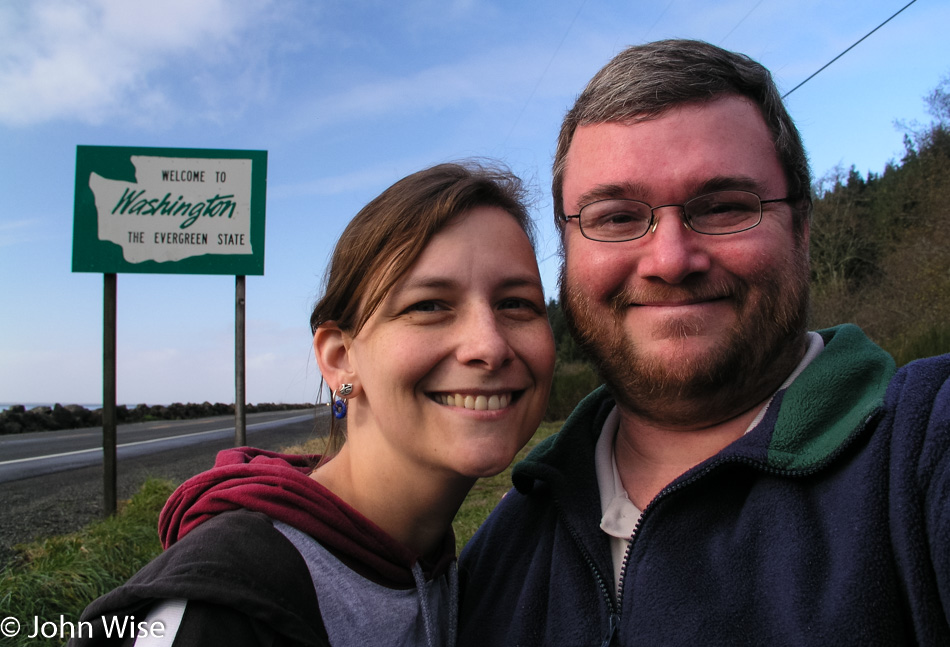
Caroline Wise and John Wise in front of the Welcome to Washington state sign

…things were delightful. Sure, this selfie is similar to the one just two photos ago, but that one was to commemorate being on another part of the Lewis and Clark Trail, and this one is to prove we were in Washington on this trip.
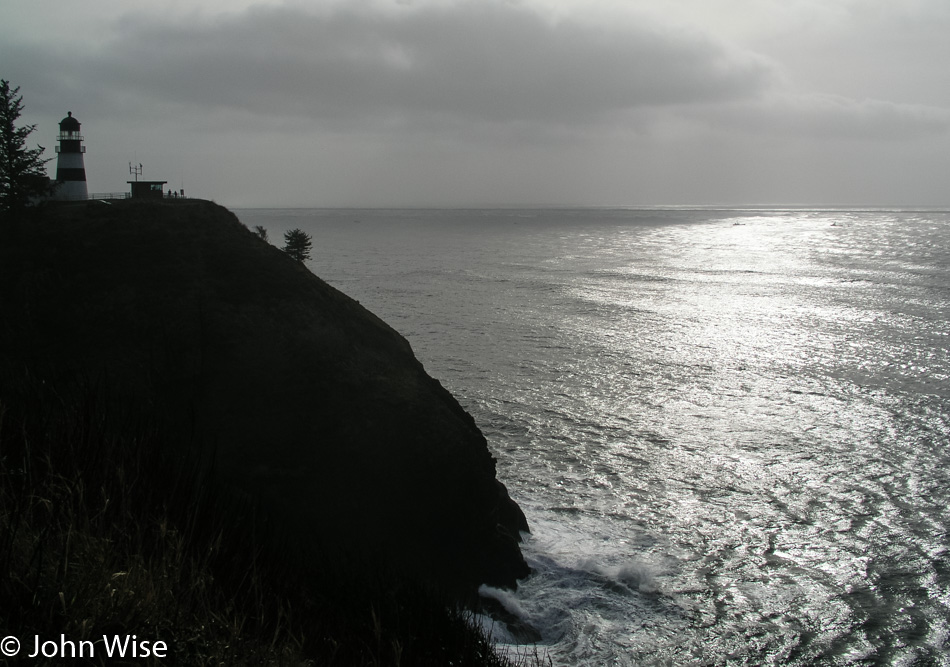
Cape Disappointment Lighthouse in Southern Washington

Cape Disappointment in southern Washington at the mouth of the Columbia River. We’ve never visited this lighthouse as of me writing this blog entry in 2018 (takes note to rectify this).
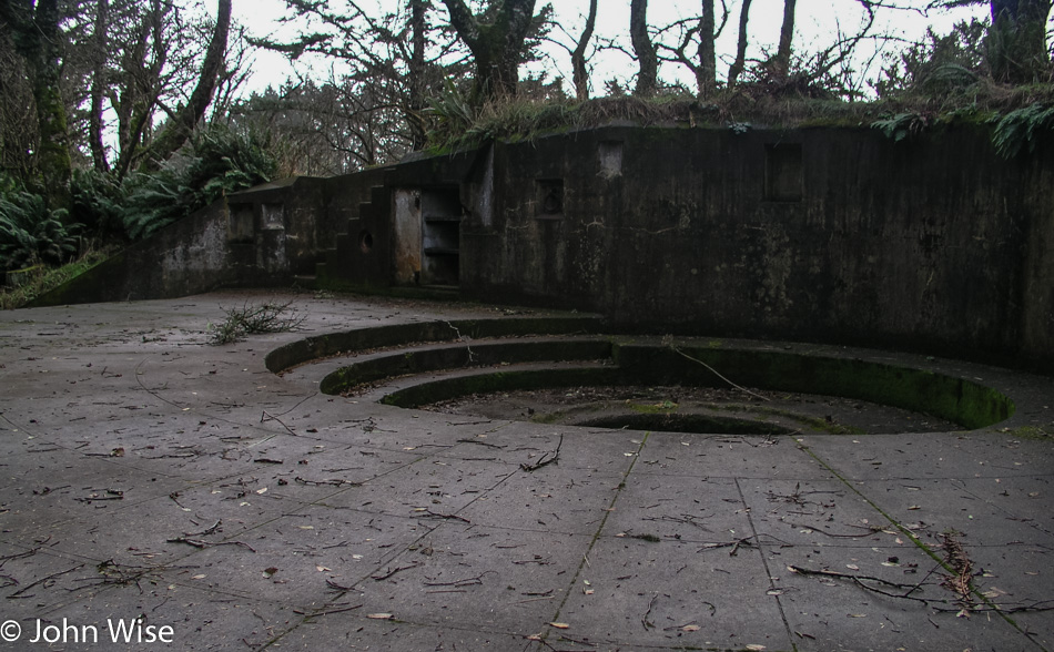
Fort Stevens State Park in Oregon

We did the accelerated 15-minute tour of Fort Stevens State Park and only afterward learned we missed an amazing old shipwreck on the beach, the Peter Iredale.
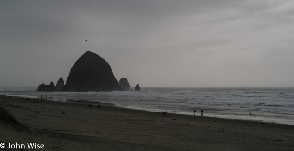
Cannon Beach, Oregon

Moving south again, we stopped to visit the Haystack Rock at Cannon Beach in Oregon. This turns out to be a favorite place for long walks along the ocean and will remain so for years to come.
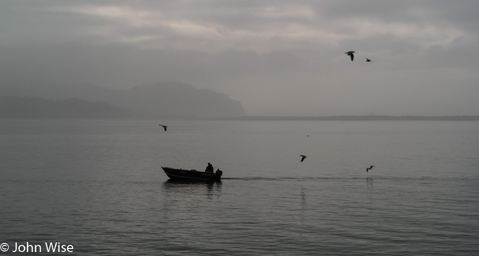
Fishing on the Oregon coast

A couple of fishermen heading in.

Tillamook Cheese Factory Tour in Tillamook, Oregon

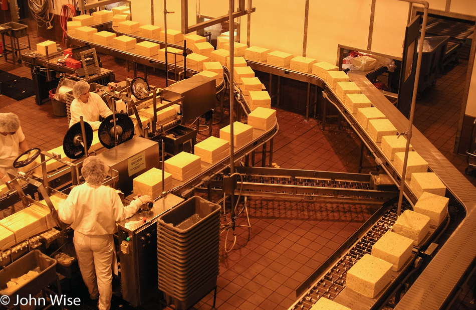
Just enough time to squeeze in a quick tour of the Tillamook Cheese Factory. While we enjoyed our brief tour, I have the feeling this place would leave many a French person feeling a bit disgusted by it all.
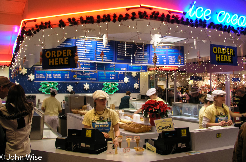
Tillamook Cheese Factory ice cream shop in Tillamook, Oregon

While the people of the Netherlands might also balk at our cheese-making skills here in America (except for those women of Cowgirl Creamery in Pt. Reyes, California), they would be pacified by a taste of Tillamook Marionberry Pie ice cream. This ice cream shop is part of the Tillamook Cheese Factory.
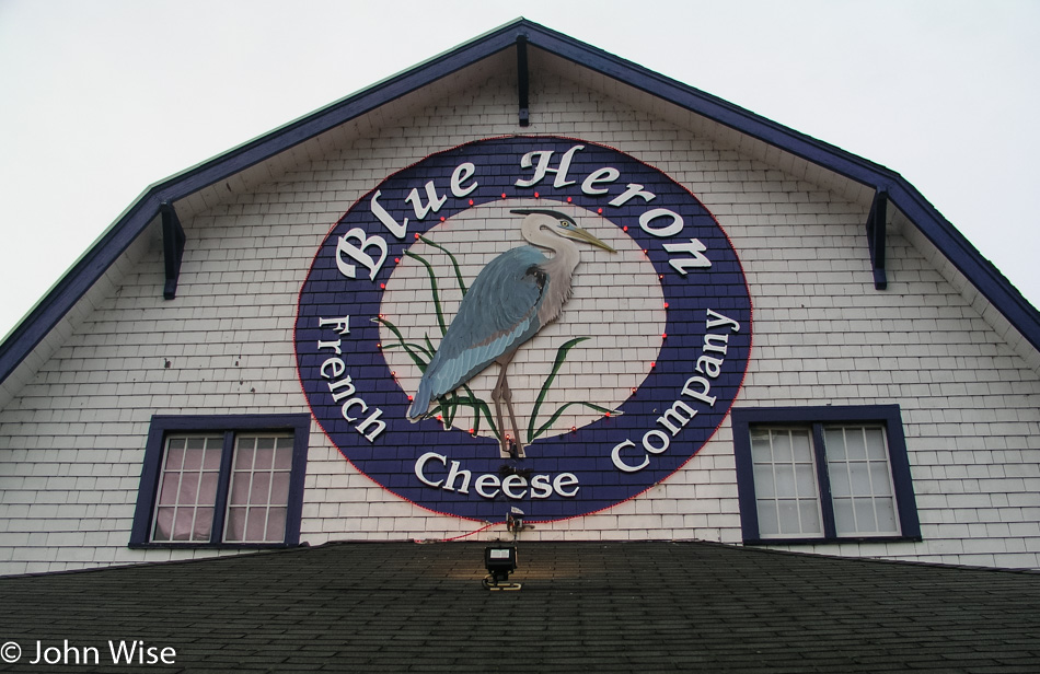
Blue Heron French Cheese Company in Tillamook, Oregon

Neither Caroline nor I remember if we were able to visit the Blue Heron French Cheese Company on this first visit to the coast. I have a vague memory it was closed by the time we reached the place, but who knows? What I do know is that we ultimately did visit here on a subsequent trip and were introduced to smoked brie and have been coming back ever since just for it.
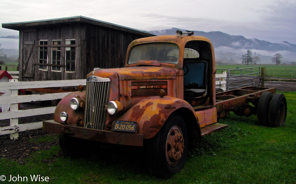
Blue Heron French Cheese Company in Tillamook, Oregon

The colors and contrast of the orange, rust, black, woods, grass, moss in the windows, and foggy background all worked to make this a favorite of mine.
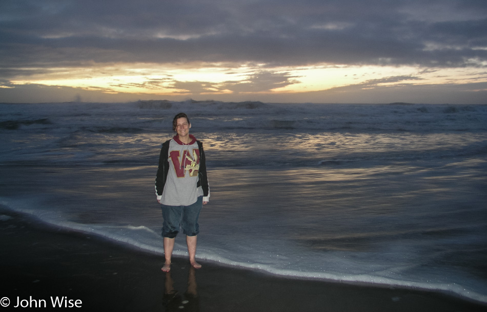
Caroline Wise stepping into the ocean in Lincoln City, Oregon

One more time, stepping into the ocean before darkness overtakes the day. What I said earlier about Caroline rolling up her pant legs, look at her right leg for proof that she could do better.

We stayed at the Bayshore Motel in Coos Bay for only $34 and dined at Abby’s Legendary Pizza. Besides Cannon Beach, we find that there are not a lot of fine dining options on the Oregon Coast.
Monument Valley Day Trip

Jay Patel in Flagstaff, Arizona

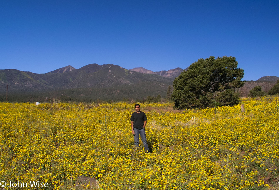
You should try something like this one day. Jay Patel and I left Phoenix at about 7:30 a.m. and drove north. This field of bright yellow flowers on the last day of summer, a day before fall, was so striking, and in contrast to the rest of the drive, we just had to stop and take a photo.

Jay Patel at Sunset Crater National Monument in Northern Arizona

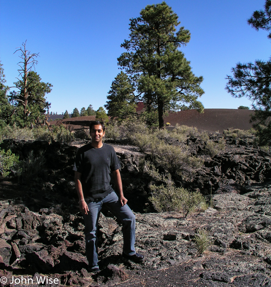
Wow, it feels like I was just here; oh yeah I was two days ago with Caroline. It’s great to be sharing this stuff with someone else who can appreciate the beauty. We are at the Sunset Crater National Monument.

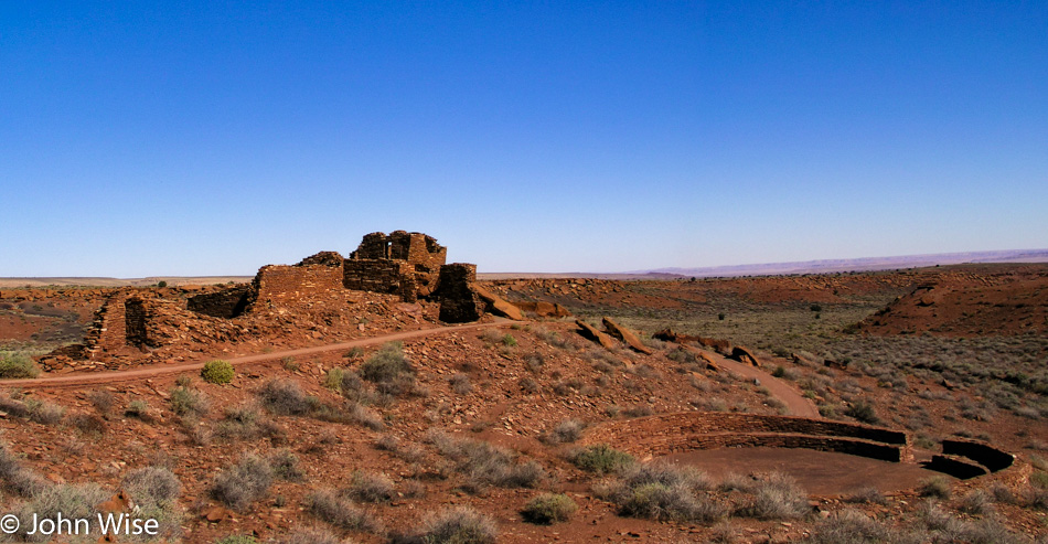
Wupatki National Monument in Northern Arizona

Of course, our next stop would then take us for a walk at Wupatki National Monument because that’s what’s at the northern end of the road that drives past Sunset Crater. The circle on the right is not the remnants of a kiva but is believed to have been a sports ring of some sort.

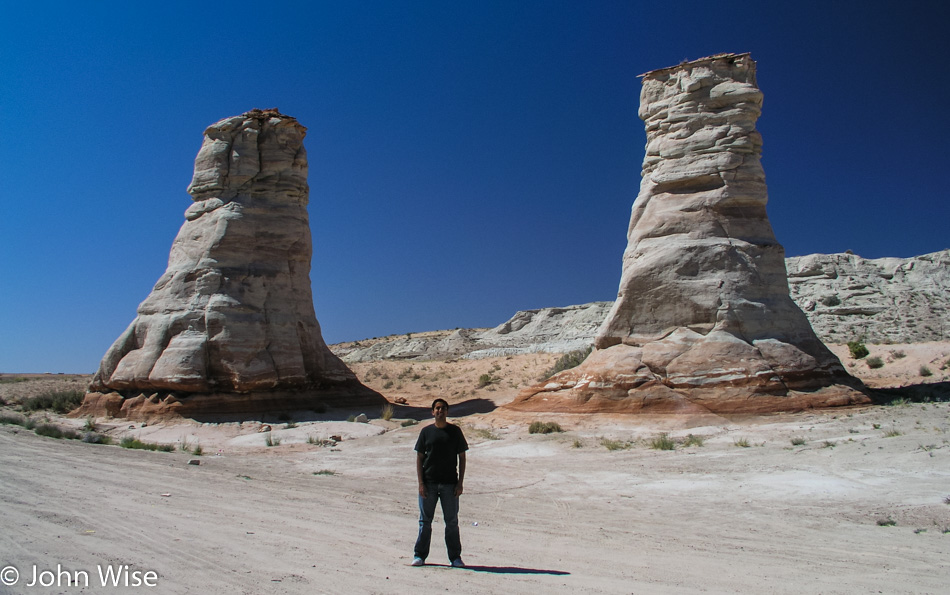
Jay Patel standing amongst the Elephant Feet on the Navajo Reservation in Arizona

We have a destination in mind that requires us to pass through Kayenta, allowing for a stop at the Elephant Feet.

Monument Valley in Southern Utah

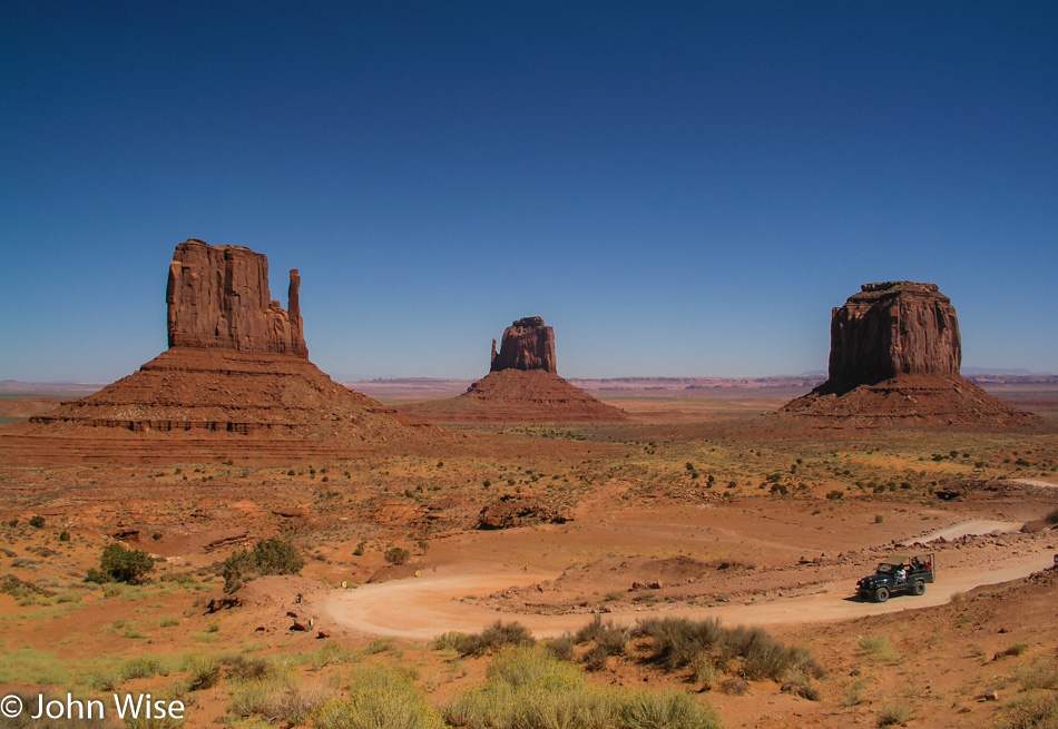
These day trips are not always easy, but they are always worthwhile. We made our way out to Monument Valley here in Utah for a drive under the formations. It’s only about 330 miles from home but as far away from routine as one can get.

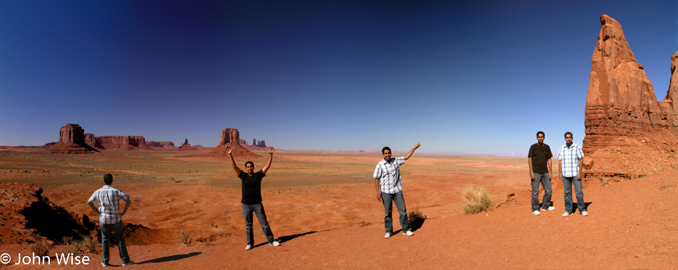
Jay Patel at Monument Valley in Southern Utah

This magical place allowed Jay to quantum teleport to superposition himself in five simultaneous locations for this snapshot overlooking Monument Valley.

Gooseneck State Park in Southern Utah

The horseshoe bend at Goosenecks State Park was about our furthest north location. Truth is, I was hoping beyond hope that I might score a steak in Mexican Hat at the home of the swinging steak, but that dream fulfillment wasn’t in the cards.

Jay Patel in Northern Arizona

We’re on the 191 heading south onto the Navajo Reservation; we have plans.

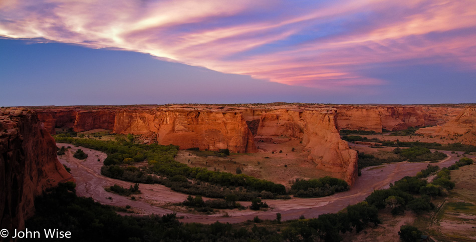
Canyon de Chelly National Monument in Northern Arizona

Those plans work out perfectly as we arrive for sunset at Canyon De Chelly National Monument.

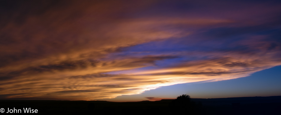
Sunset in Northern Arizona

By 9:00 p.m., we were standing on a corner in Winslow, Arizona, but not for long, as we had to make tracks back down to Phoenix. It would be close to midnight before we got home. Not a bad way to spend 16 hours if you ask me.

Utah to Colorado to New Mexico – Day 2

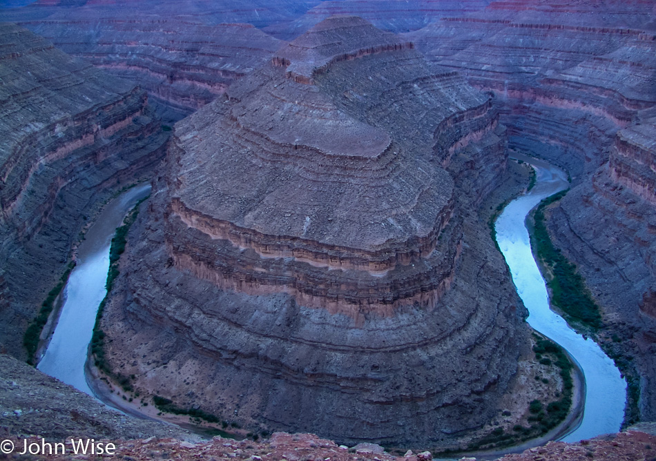
Gooseneck State Park in Utah

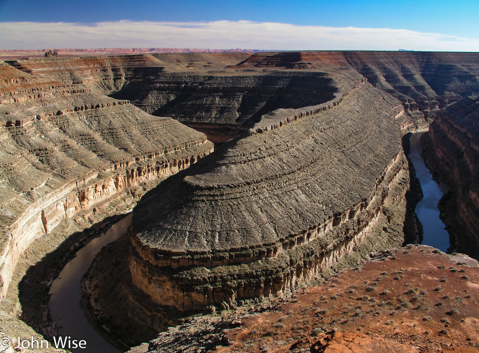
This is the “other” horseshoe. One is found down by Page, Arizona, and has the Colorado River flowing through it. This one is found in Gooseneck State Park in Utah and has the San Juan River running through it, though it ends up flowing into the Colorado River over at Lake Powell.

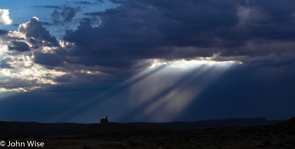
North of Mexican Hat, Utah

This is a brilliant example of desert skies where looking in one direction, the horizon has a foreboding gloom portending bad weather out there. A few minutes later, and looking in another direction, you get the following.

Near the Mokee Dugway in Utah

Heading up the Mokee Dugway all of a sudden, the day is perfect again with an inviting sky of fluffy clouds.

Mokee Dugway in Southern Utah

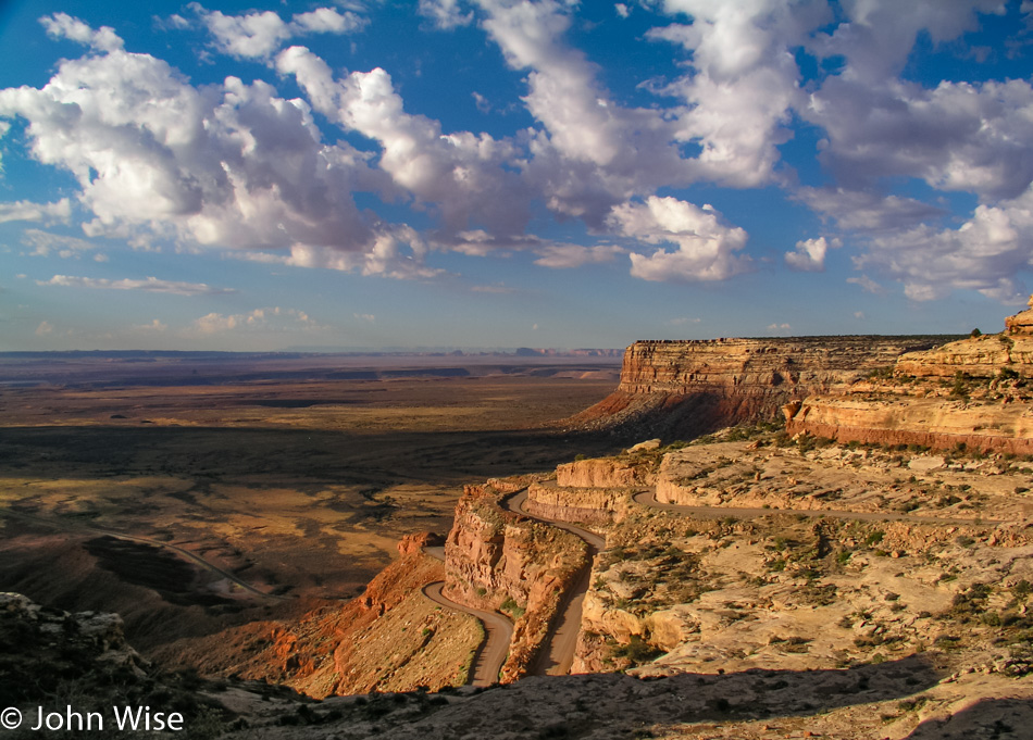
This narrow dirt road gives you a better idea of what exactly the Mokee Dugway is and why we tend to want to avoid it in bad weather.

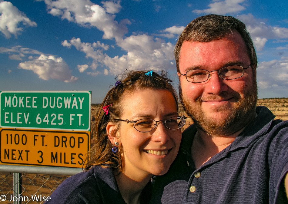
Caroline Wise and John Wise on the Mokee Dugway in Southern Utah

So far, the new car is a pleasure and is getting us where we want to go.

Church Rock in Utah

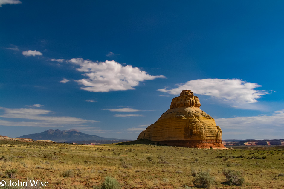
This is the kind of church Caroline and I can get into. Welcome to Church Rock near the turnoff for Canyonlands National Park.

Canyonlands National Park in Utah

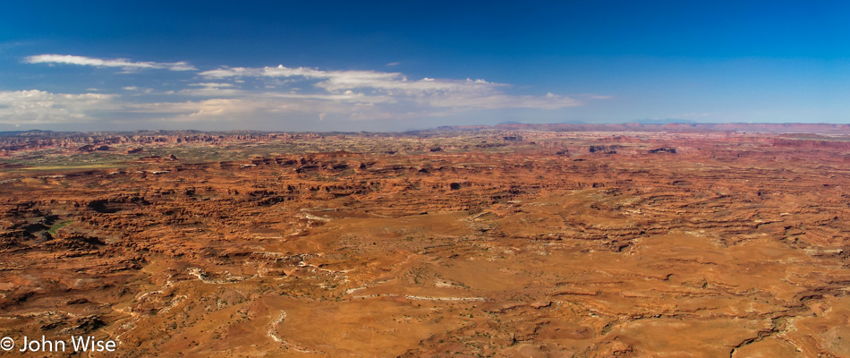
Wow, this is quite the canyon. No wonder Edward Abbey warned of careless travel in the Maze that’s somewhere out there. To be clear, this is the Needles Overlook in Canyonlands National Park, and today’s visit will not do it justice, but that’s kind of our way of having first encounters with many places in America.

Canyonlands National Park in Utah

We are here at the Minor Overlook too late in the day for a giant diversion from where we are planning on staying tonight, but if we had the time and we are so very tempted to make that time, we’d hike right out to the confluence of the Green and Colorado rivers.

Canyonlands National Park in Utah

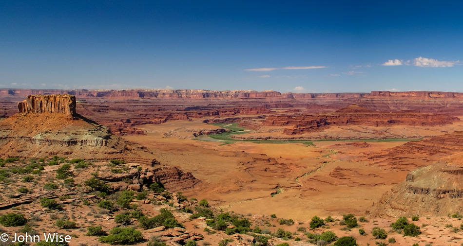
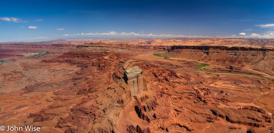
Canyonlands is certainly a relatively unknown treasure, probably because of the difficulty in visiting the place and not having very many services nearby aside from Moab further north. This particular view is from the Anticline Overlook.

Caroline Wise and Horses in Colorado

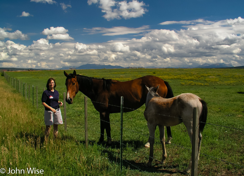
Red rock to green grass is the visual indicator that we’ve gone east and are now in Colorado.

Metal Grasshopper Roadside in Norwood, Colorado

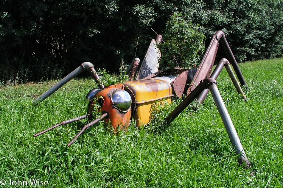
The mutant steel grasshoppers of Norwood, Colorado, are not coming to a town near you because they’ve not been robotized – yet.

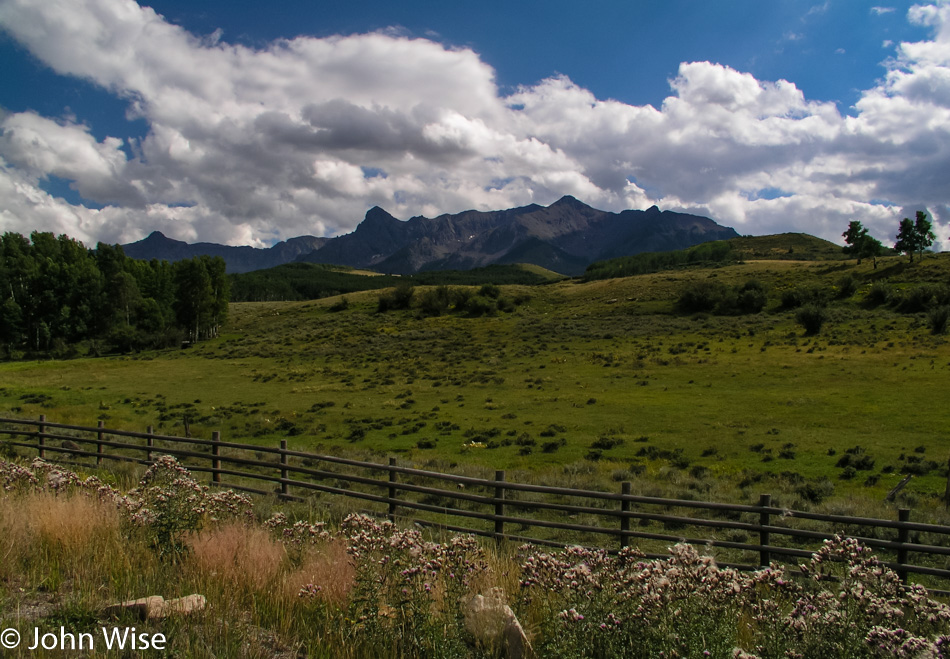
On the road outside Ridgeway, Colorado looking towards Ouray or Telluride

We’ve been to Ouray and Telluride on the other side of those mountains, but this is the first time on this side.

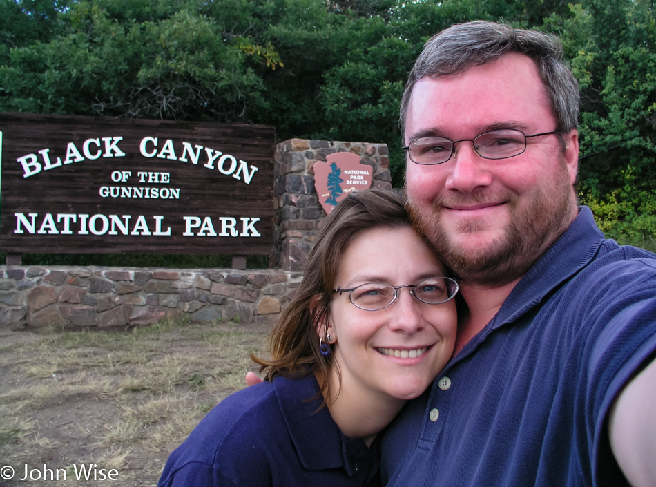
Caroline Wise and John Wise at the Black Canyon of the Gunnison National Park in Colorado

We made it. The Black Canyon of the Gunnison National Park was a bit of a mystery to us as we never heard it referenced. No one has ever told us we should visit, and I can’t think of any movies that featured it as a backdrop, such as Monument Valley which has been used many times.

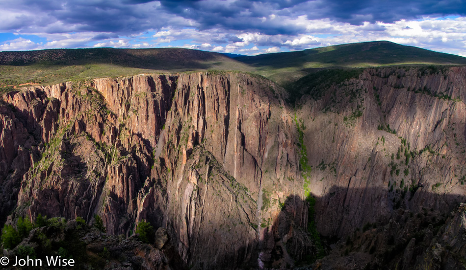
Black Canyon of the Gunnison National Park in Colorado

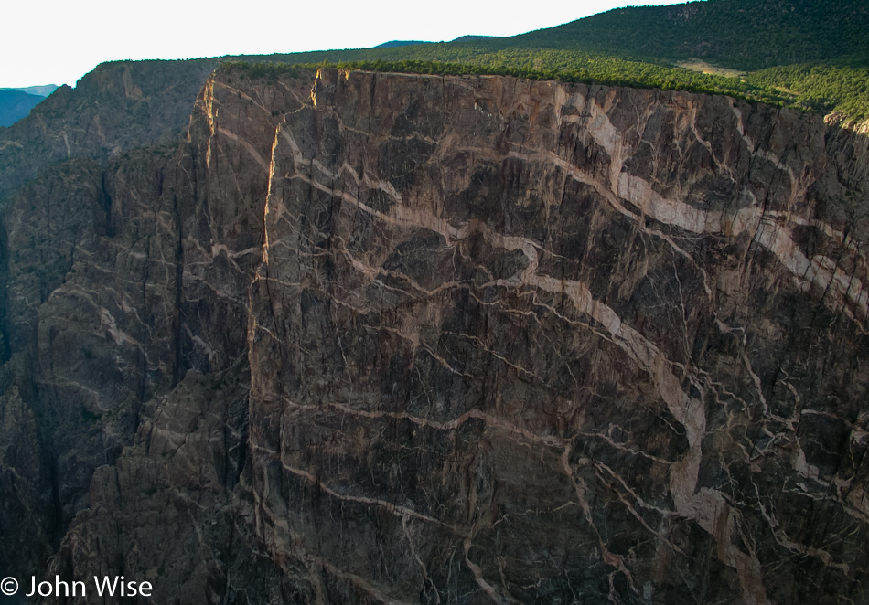
Check out all that metamorphic rock. It’s a curiosity to me that this rock that is over 1.5 billion years old and maybe as striking is the fact that we are at nearly 8,000 feet in elevation (2,400 meters), and these formerly igneous and sedimentary rocks were at one time approximately 8 miles below sea level (12.8 km). Now, here we are, gazing across the canyon at the sloping mountainside that has a gaping chasm torn into it, looking like pasture lands go right up to the edge as though this was opened yesterday.

Black Canyon of the Gunnison National Park in Colorado

I wonder how many others, when thinking of the Rockies, picture the mountains west of Denver and consider that’s about it. We are still in the Rocky Mountains, although we are 200 miles from Denver. They continue south to the Sangre de Christo Mountains for at least another 250 miles and north towards Toad River, Canada, for another 2,179 miles.

Black Canyon of the Gunnison National Park in Colorado

Isn’t that some nice shit? Oops, I mean gneiss and schist. Their story is a romantic entanglement that began long, long ago in a time far away. While they started life as sand, sediment, and volcanic rock, they grew up until, during their long hibernation, under great pressure, the gneiss, hot and cooking away to change its molecular structure, was not as hot and fluid as the schist that was able to flow and cut into the gneiss. Hundreds of millions of years will pass before they reappear for their unveiling as a couple forever intertwined as one until, once again, they return to the sands of time long after we depart from this world.
Caroline Wise standing in the Gunnison River in Colorado

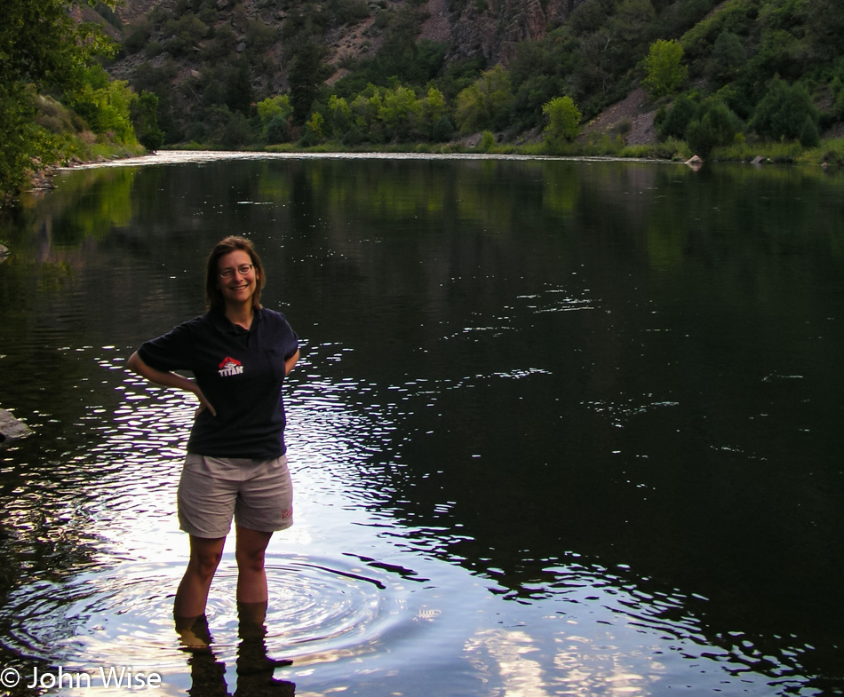
Standing in the Gunnison River because a corner of Winslow, Arizona, is not nearby.

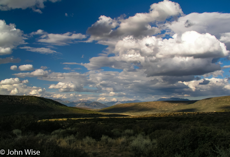
Somewhere near Gunnison, Colorado at Sunset

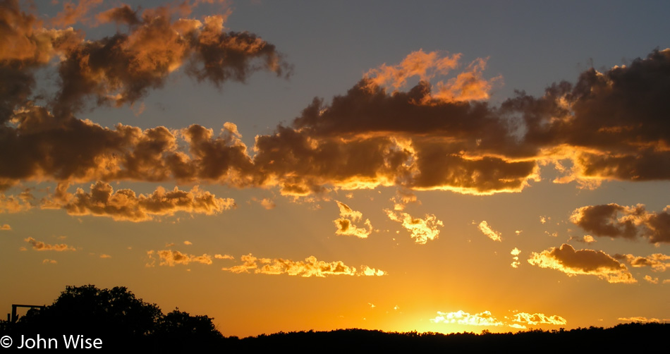
We are spending the night in Gunnison. Nothing left to report about this day, end of transmission.