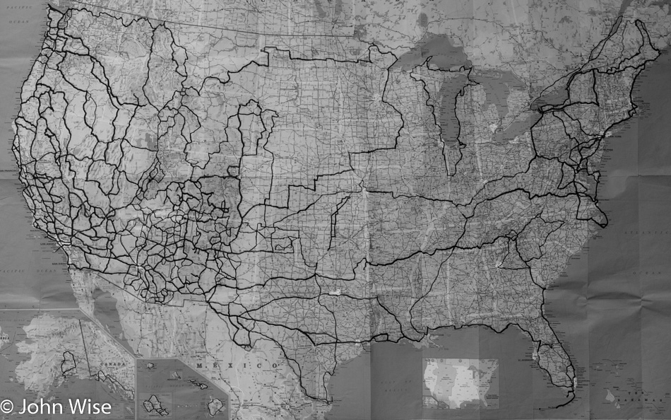
It’s been 18 years since we started tracking our travels on an old Michelin map. While we’ve been to all four corners, the geographical center of the United States in Lebanon, Kansas, and been to some places such as Yellowstone nine times and the Oregon coast probably more than that, there are still vast swathes of America that remain unseen to us. Large parts of the North and South Carolina coasts have not been explored yet along with small segments of the Texas, Florida, and New Jersey shorelines we’d still like to visit. The Great Plains could certainly use some work, along with the Southern States. We’ve been to the majority of the Hawaiian Islands and while we’ve seen Alaska from Anchorage to Fairbanks and from Juneau to Haines, that is one state that would require two lifetimes to see it all.
I used an infrared filter on the image to turn it black and white as it brought up the darker highlighted roads we’ve traveled and brightened the state outlines making them easier to see, should you be wondering why this photo, in particular, was chosen to be presented sans color.
One Reply to “Map of our U.S. Travels”