I need a generic photo for blog posts describing the first nights we are out on the road; that photo would be of a golden brown rotisserie chicken dripping fat as the fire sweats that old bird. This would best illustrate how we sleep on these restless roadside stops. One never knows the quality of the bed, the temperature of the room, or the wail of the window air-conditioning unit. Does this imply that we slept poorly? Obviously, because we struggled to find something even close to the thing known as sleep. So it goes, we know this dance in the been there, done that sense.
Our no-frills breakfast (thanks to our in-room microwave and the ice chest of stuff we are dragging with us) saved me from the potato/toast orgy my petulant inner 4-year-old expects when we are out in the land of the greasy spoon. The menu in cabin 6 featured warmed-up pre-cooked burgers and a shared avocado, which helped keep things in the keto realm for me, and right now, that will have to do.
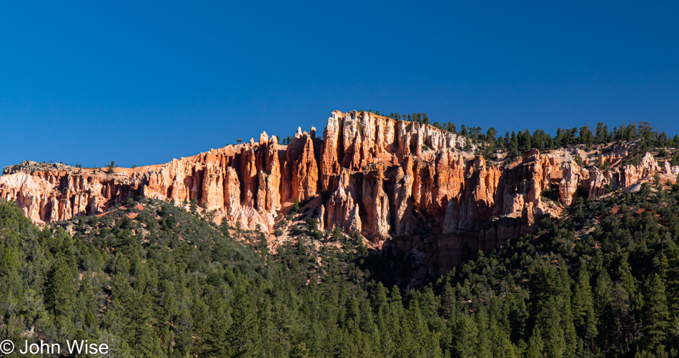
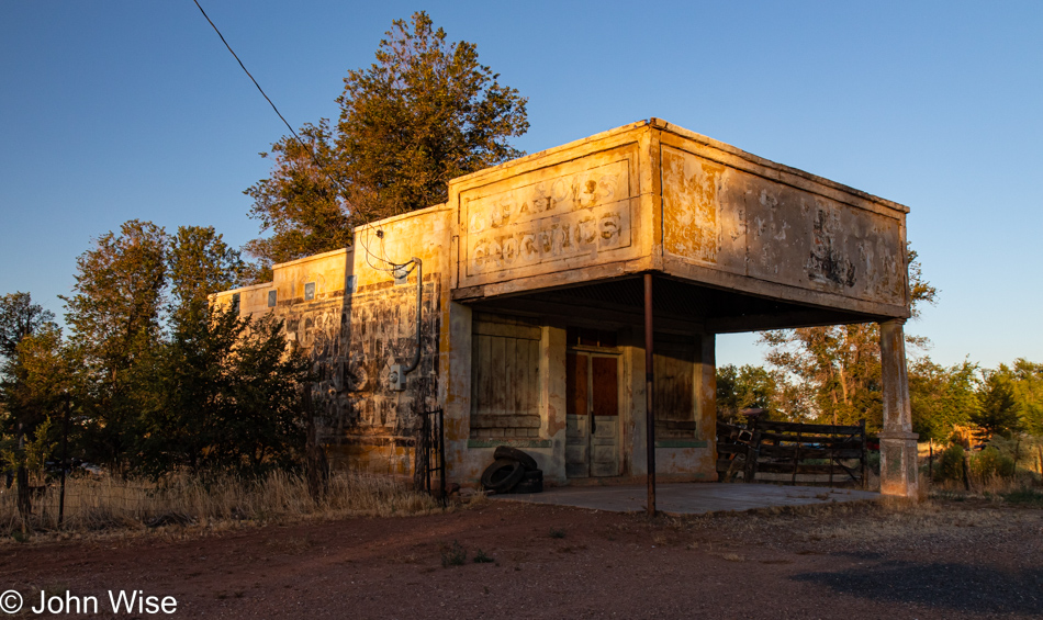
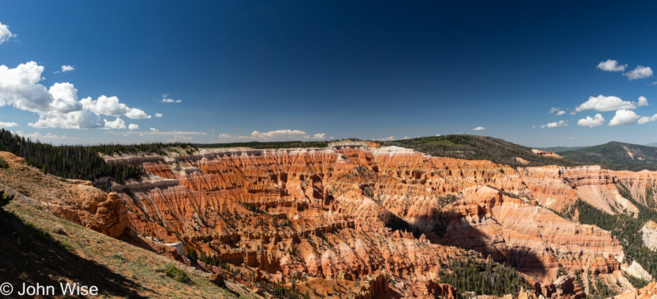
A few miles away, the state line separating Arizona and Utah was crossed with no fanfare; we just drove in and minutes later stopped in Kanab for some weak coffee, which in a pinch is better than no coffee. Experience tells me that a photo of our coffee stop makes for boring imagery so I skipped that, and anyway, the scenery surrounding Kanab is far more interesting. No, this isn’t Bryce National Park, but it is indicative of what is seen out that way. As we were just visiting Bryce not too long ago, we’ll just keep going north.
Hey, is that something beautiful over there? Well then, we’ll just have to stop to look at the forest through the trees.
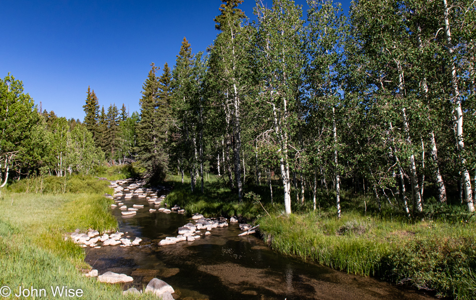
This brook with bleached volcanic stones was the main attraction, and while I should have made an effort to photograph the nearby craggy lava field, we have places to be and know from past experience that we can be our own worst enemies when it comes to arriving somewhere at a reasonable hour.
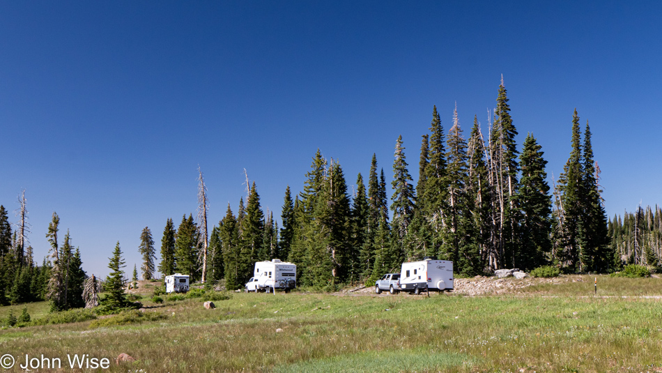
Ninety minutes north of Fredonia, Arizona, we arrived at our first destination, Cedar Breaks National Monument. Not sure if these people are done with their 4th of July holiday already or if they were just passing through, but they are pointed at the exit. If you’ve read one of our previous posts where we visit a national park or monument you probably have guessed by now that we’ll be making our first stop at the visitors center for Caroline to pick up her Junior Ranger booklet.
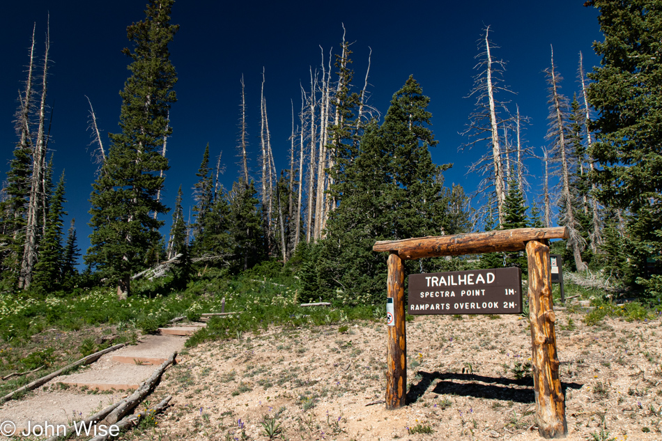
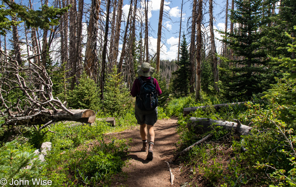
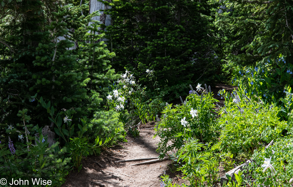
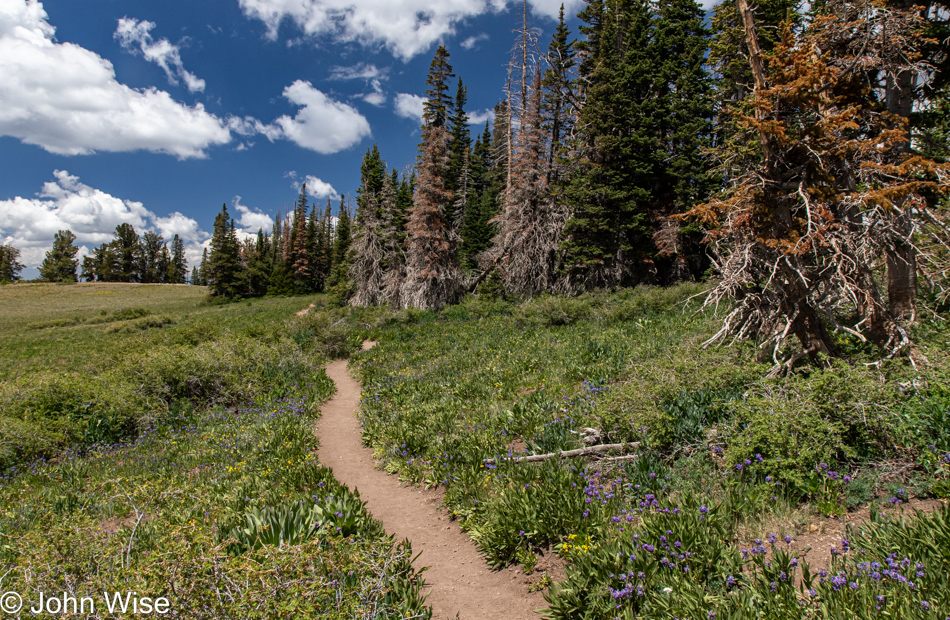
With booklet in hand, along with a new t-shirt celebrating the season of wildflowers, we are on our way up the Spectra Point Trail. It’s obviously a beautiful day out here, and nobody else is parked at the trailhead yet, so things promise to be quiet. Our elevation is 10,500 feet above sea level (3,200 meters), and I’m feeling a bit lightheaded but nothing too uncomfortable.
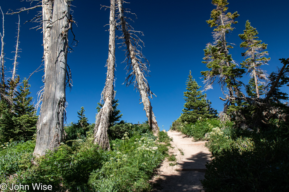
What surprises await us just over the crest?
It doesn’t take long before I grow uncomfortable with the nearness to the edge of a massive dropoff. We only made it a little more than a quarter-mile up the trail before a particular corner whispered at me that I wouldn’t enjoy coming back this way as, at that point, I’d be having that open abyss painted spectacularly large throughout my peripheral vision. Time to turn around.
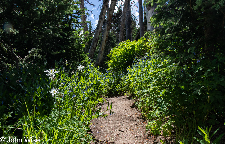
But it’s not time to leave; we are here to stop and smell the flowers, all of them.
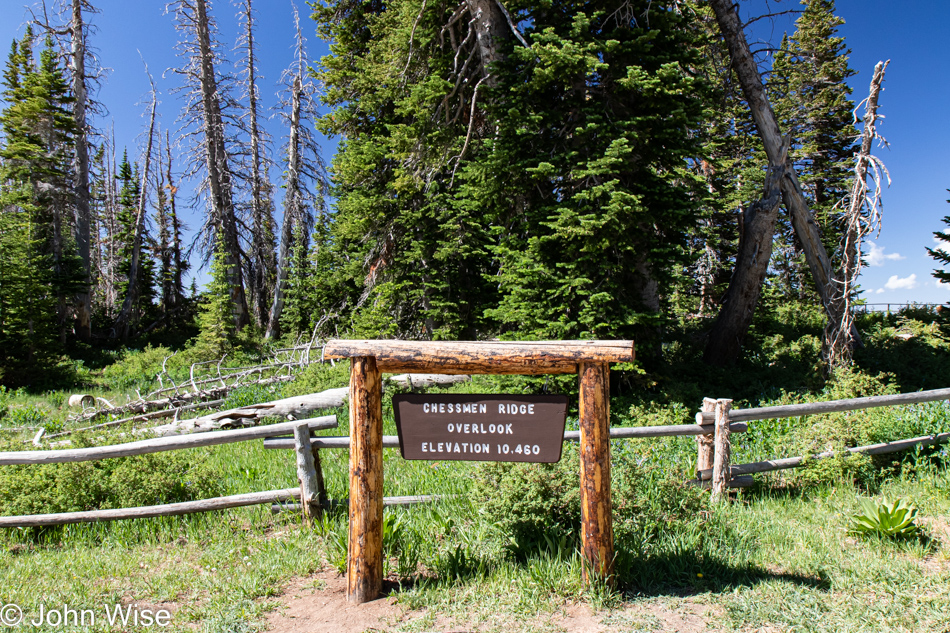
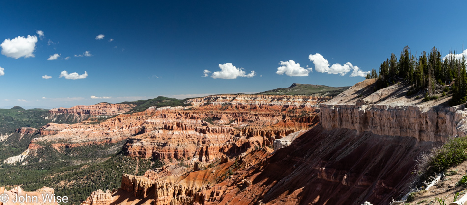
Just up the road is our next trail, and it starts at the Chessmen Ridge Overlook; we’ll check that out first.
Blam, Chessman Ridge.
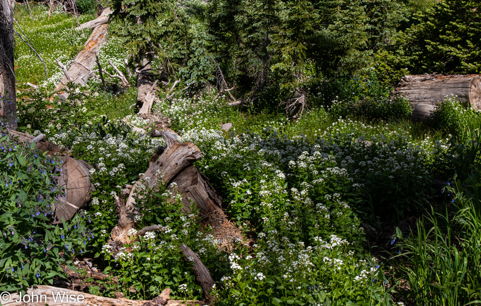
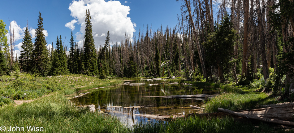
Straight ahead is the Pond Loop Trail. Oh, lucky day.
It was ten years ago that I first identified the common donkel (donkey-camel hybrid genetically engineered to walk on two legs) while on the island of Oahu; see proof right here. Since then, this specimen has proven to be incredibly valuable over and over again, though as she ages, her humps have been shrinking (front and back). The utility of my donkel cannot be underestimated as she continues the life support functions required to support me. All she requires on my part is a near-constant stream of hugs and for that, I’m offered water, snacks, sunscreen, and extended vision with the use of binoculars she seems to always have at the ready.
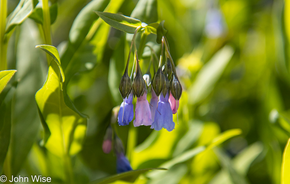
I thought pink and blue Spanish bluebells would have been on separate plants, but here’s nature proving me wrong, or is this just a trick of comingling plants and my inability to differentiate their cohabitation?
It’s spaces such as this that will have to suffice as being the parade route we’ll be missing this year, while the flowers will have to fill the gap of not seeing a fireworks show along the way.
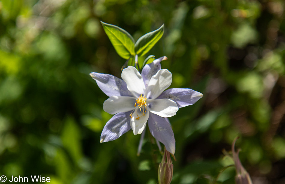
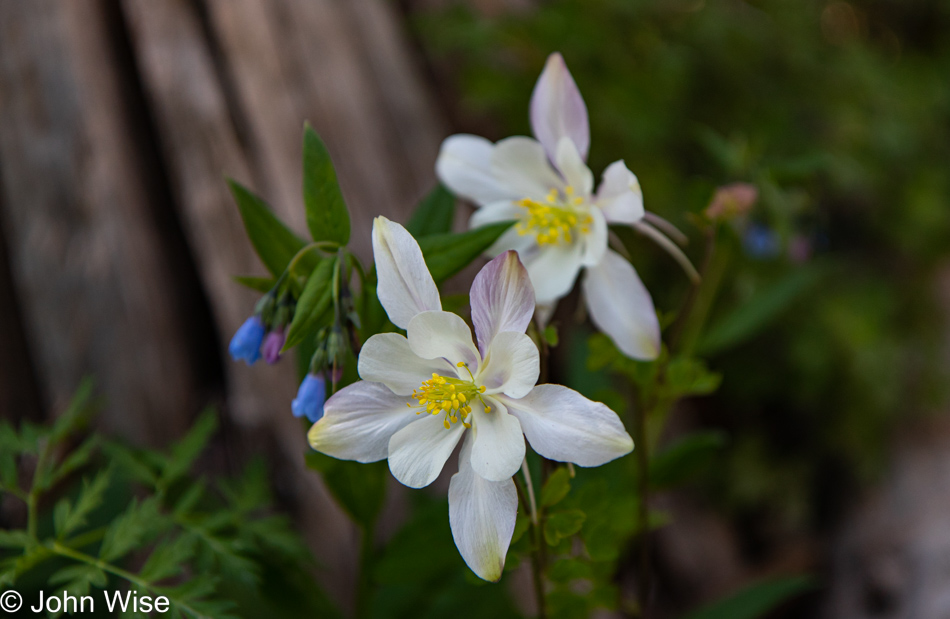
Heading up into Utah this long 4th of July weekend during early summer, I don’t know what we were expecting beyond the planned hiking trails, but running into these columbines are proving to be a nice surprise. I wonder if Alltrails has a search function that allows us to find the most spectacular displays of wildflowers as an attribute of trails across America?
If you are thinking I’m getting a bit redundant with similar shots, well, that’s just the way it is, as these reminders are here to bring us back to July 1st, 2022, when Caroline and I found ourselves walking along a canyon edge to a pond during a magnificent wildflower bloom. These were the days, huh, wife?
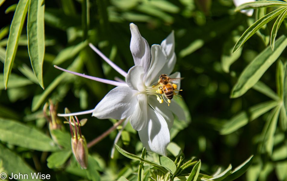
The columbines are everywhere, and while I probably took photos of dozens, I present just one more, as this post is about more than beautiful flowers.
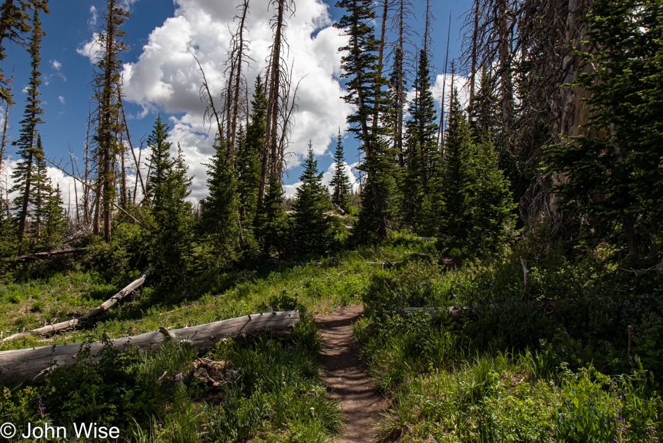
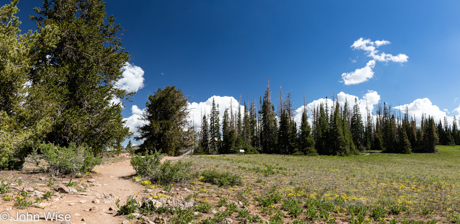
It’s also about forested paths under deep blue skies and fluffy little clouds.
Just out of sight was graffiti carved into a fallen tree that said, “Monet was here.”
What doesn’t mix with beauty are the idiots who feel the need to bring gadgets that play their music out loud so everyone within a couple of hundred feet has to listen to their insipid soundtrack that erases the wind, birds, frogs, insects, and any semblance of their consideration or intelligence. Then, there was the lunkhead who brought out his drone; even though everywhere you go in the parks today, people are told that they are in a “N0 Drone Zone.” People pay as much attention to that as those told that dogs are not allowed on the trail. Aside from those annoyances (quickly pushed out of mind for my well-being), we were again alone and enjoying the serenity of the place, undisturbed by the selfish abominations that went about their merry ways.
After a couple of miles, though our Fitbits said it was closer to three miles, we were aiming for the parking lot, where opened our ice chest and made some of these terrific lettuce-wrapped bologna-and-boiled-egg sandwiches.
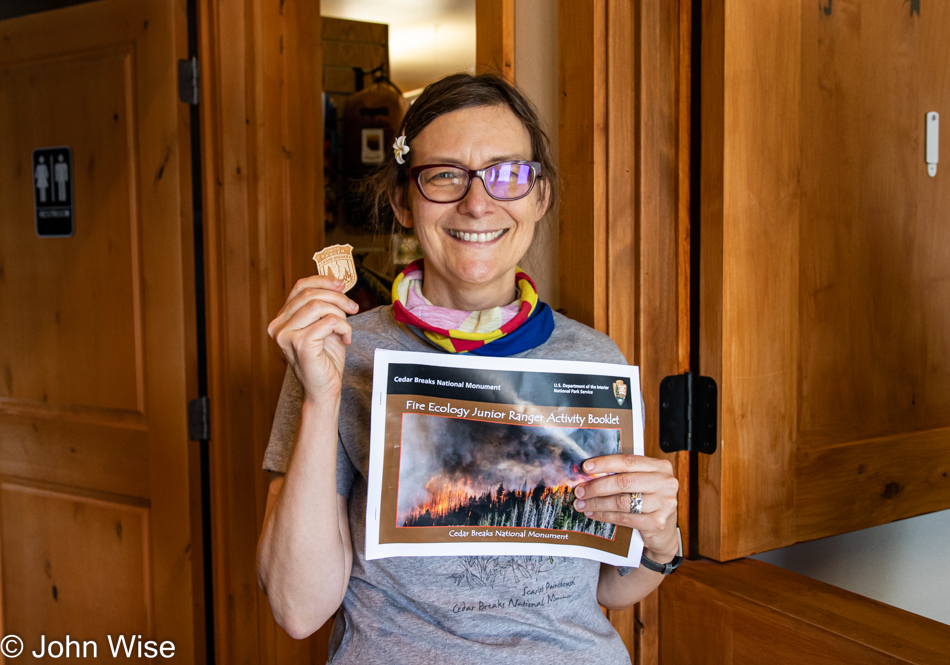
Ms. Happy Nerd-Face has yet again been granted the privilege of representing another national monument after geeking out on answering all the questions there are to answer in order to be anointed a Junior Ranger. I’d imagine that by now, if she were to attempt wearing them all, she’d be stooped over like Quasimodo in the Hunchback of Notre Dame.
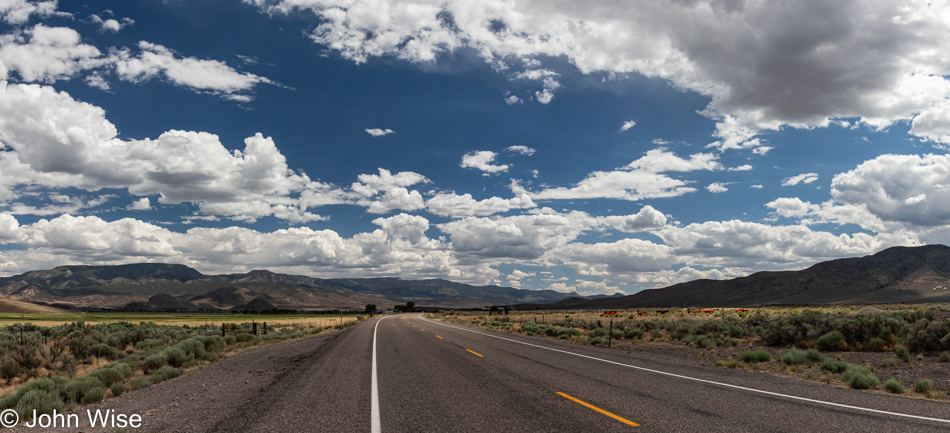
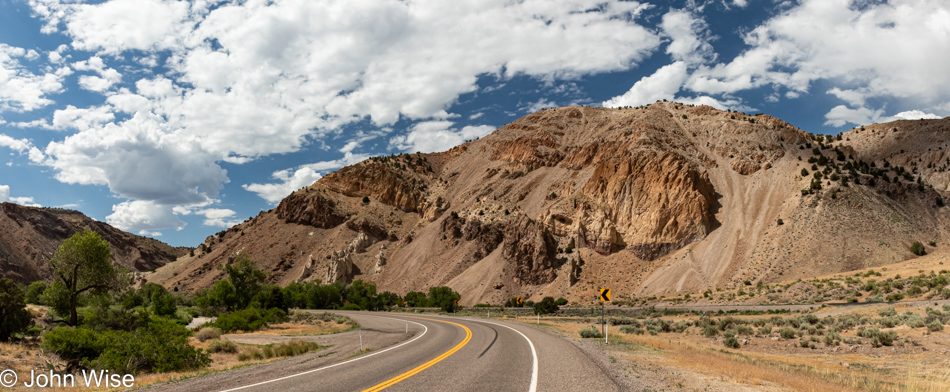
It was time to leave the park as we still have a long drive up Utah Highway 89 which parallels Interstate 15 but without the freeway stress and far enough away to feel like we are appropriately on vacation, not in heavy traffic and franchise ugliness.
A million thanks to everyone who opts for freeways, thus affording us nature freaks these moments when the entirety of nature within our purview is ours alone. I should point out that my grumbling about the numbskulls that intrude into our solemnity in some paragraphs/photos above is my own fault as we typically know better than being out in America on major holidays due to the dragging out the worst examples of rabble our country has to offer.
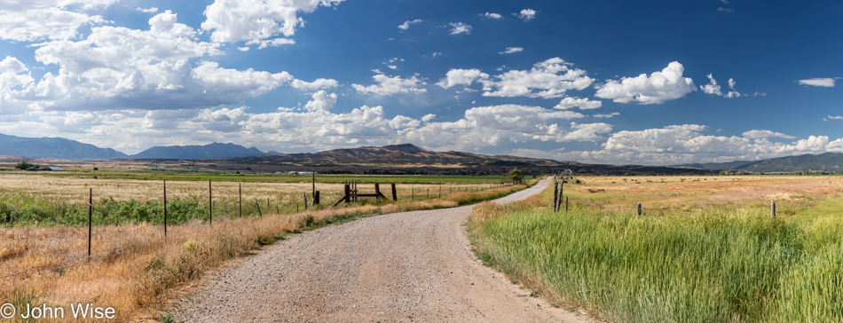
Just think about this: here we are under a blue sky where a dirt road slicing through grasslands running to a distant mountain offers us the opportunity to be among approximately twenty-three octovigintillion particles coursing through reality and where idiocy is kept at a distance, there is nothing else to do but enjoy the perfection of it all in peace and happiness.

Here is the result of a lost 20 minutes where I searched for what mountain this is. I know it’s near Provo, Utah, but I can’t find it using an image search from Microsoft or Google. Streetview hasn’t come to my rescue, and now, frantic, I have to give up and return to writing. I’d wager a dollar that after Caroline gets hold of this acquiescing to failure there’ll be a note from her telling future us just where we were and what mountain peak we were looking at. [It is the “backside” of Mount Timpanogos – Caroline]
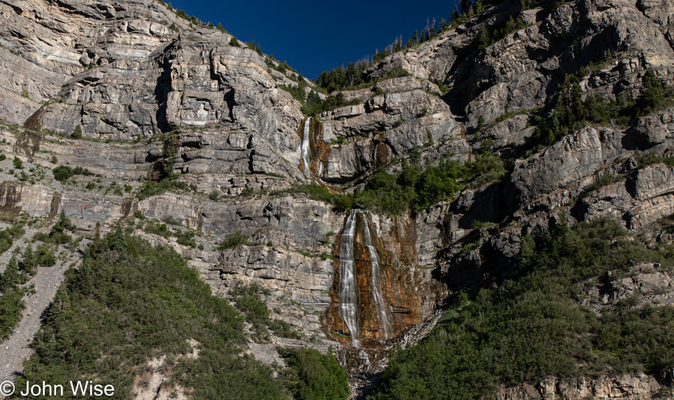
This is Bridal Veil Falls, which I have zero ambiguity about. Believe it or not, there were people crazy enough to cut over the thinnest trail on the scree slope visible on the left of this image in order to reach the foot of the falls. My knees buckled as I watched others carefully maneuver the razor’s edge.
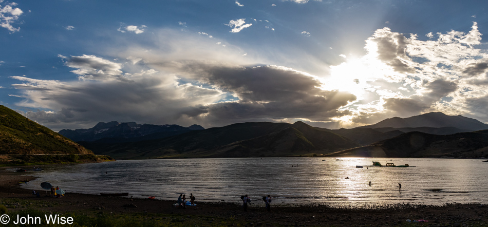
We are starting to run low on daylight as we start passing the Deer Creek Reservoir with this image having to stand in for the end of the day. We are already in the Wasatch Mountains, which is the main destination of this adventure, and are now only about 15 minutes away from Heber City, where we’ll be spending the next couple of nights at the Swiss Alps Inn.