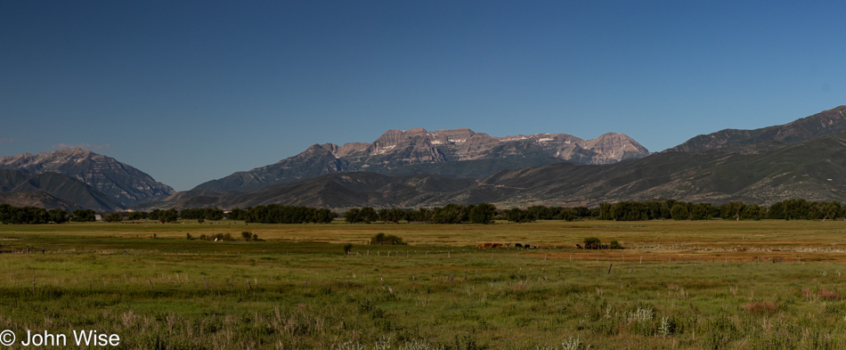
That’s Utah’s famous Mount Timpanogos, the second-highest mountain in the Wasatch Range that’s part of the Uinta-Wasatch-Cache National Forest. (Yesterday, we were seeing its other side.) This is the backdrop of Heber City, where we are staying since we are relegated to the poor person’s enclave of mere millionaires instead of the far greater (billionaires’) village of neighboring Park City (said with incredible reverence).
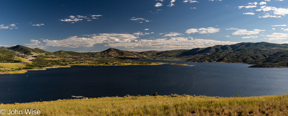
Just north at the fork in the road, you’ll start heading up towards Jordanelle Reservoir and the town of Kamas beyond that. We are aiming to get on the Mirror Lake Scenic Highway, a.k.a. Utah State Highway 150, that heads north towards Wyoming, although we are keeping things in Utah today.
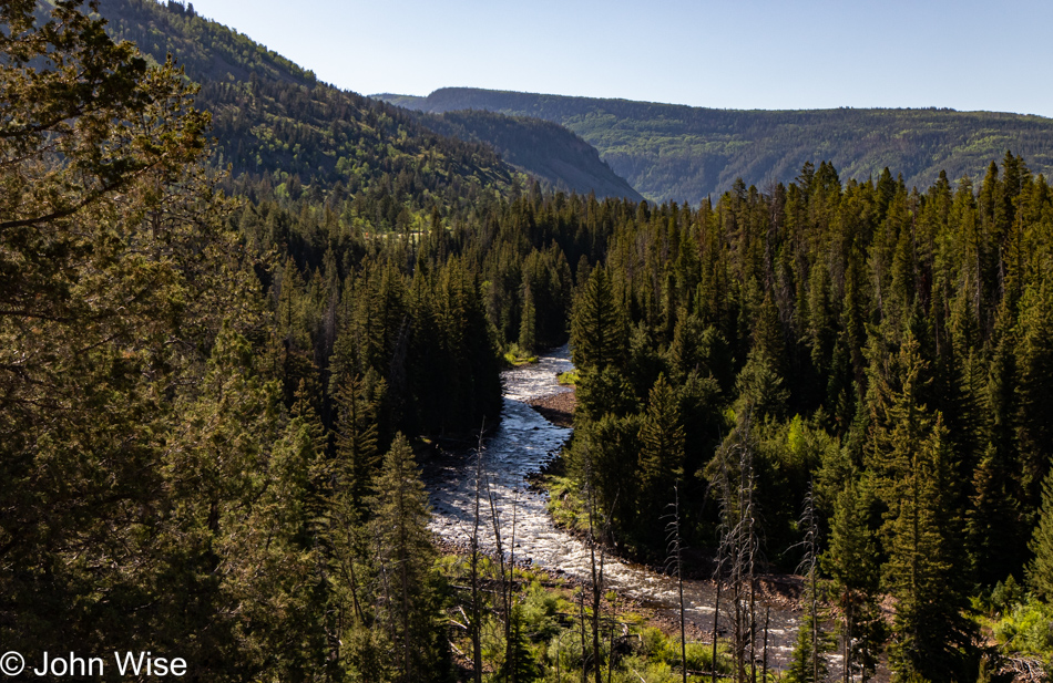
That’s the Provo River slicing through the forest and feeding Jordanelle Reservoir that we just passed.
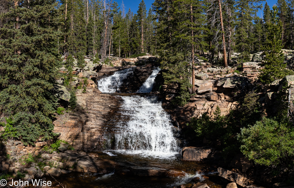
Our path of discovering whatever lies ahead has brought us to the Upper Provo River Falls.
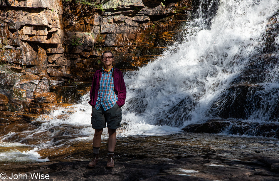
Human banana for scale.
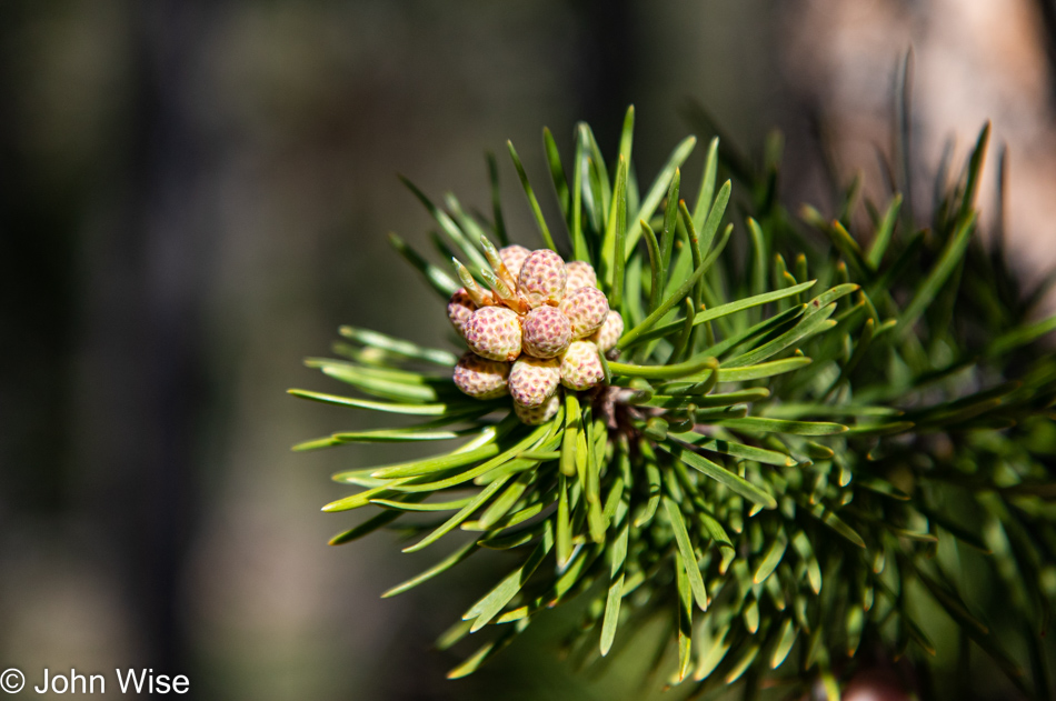
Wouldn’t you just know that I’d be at home writing this when I learned that pine cone buds are fully edible? We don’t miss the opportunity to sniff at Ponderosa pine trees now that we know that they smell of vanilla or caramel, but now I’ll need to know what those pine cones taste like.
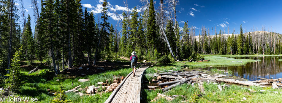
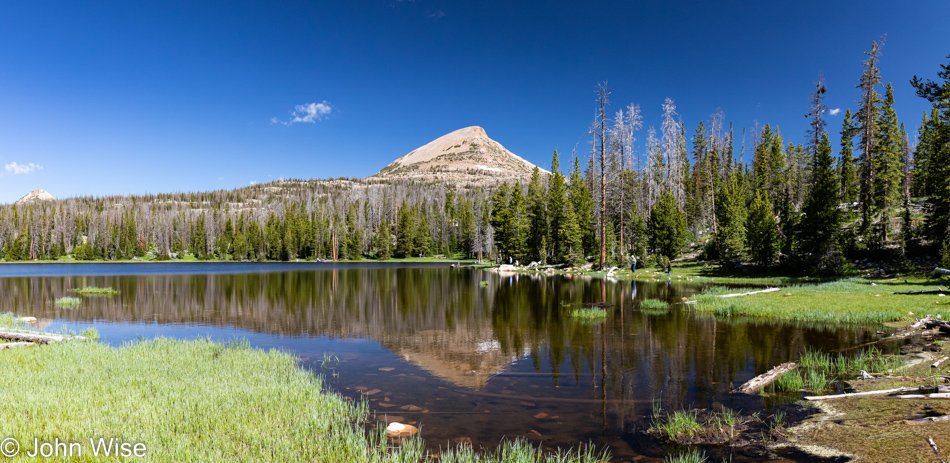
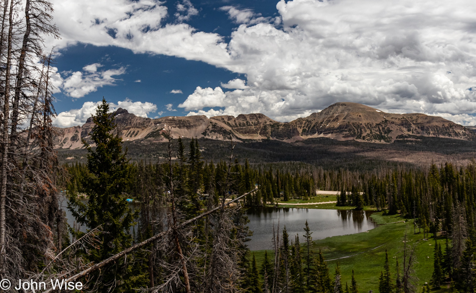
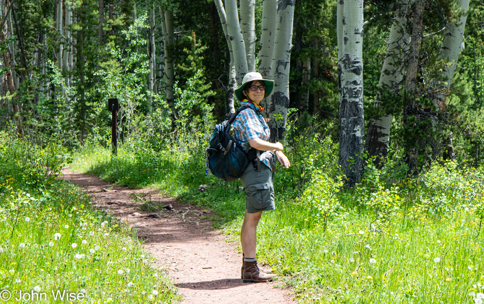
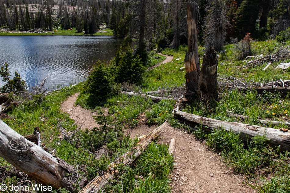
Pulling into the area at Washington Lake Campground, where our trailhead is located, might seem to be discouraging as the parking lots were packed, but once out on the trail, other visitors were so well distributed across the vast trail system that we never felt crowded. Though I would like to admonish owners of poorly trained barking dogs as they are the bane of a great experience on trails, and so are the dog poop bags left trailside; why even bag it up?
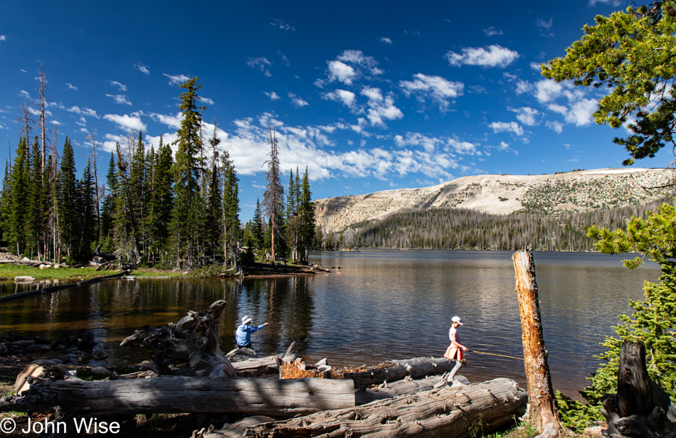
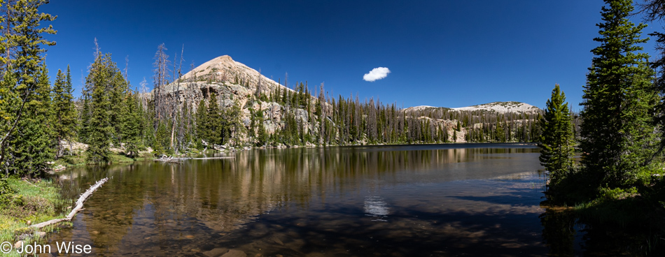
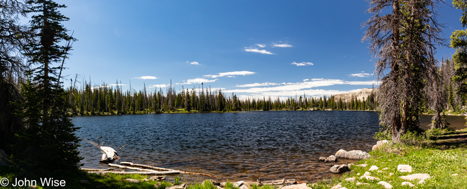
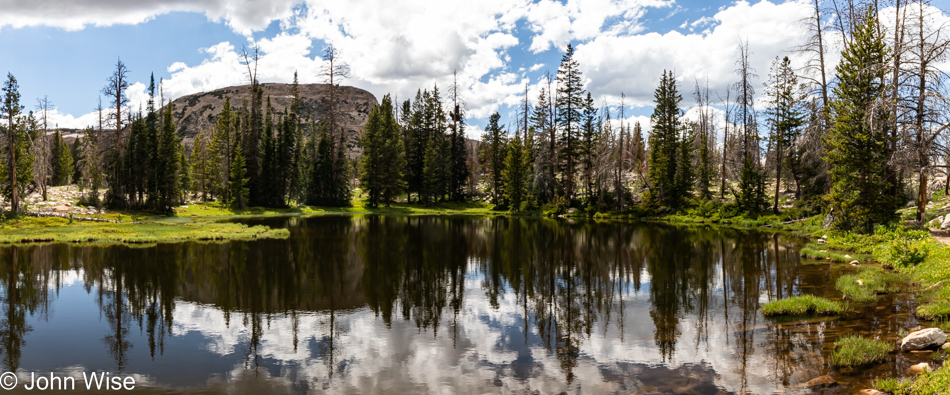
Things quieted down as we got closer to Crystal Lake.
Mosquitoes! Guess who forgot the bug spray? Well, it wasn’t me, as I easily and rightfully assumed that it was in Mrs. Wise’s backpack of everything.
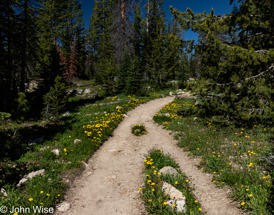
Why pay for Alltrails if, after choosing your trails, you fail to download the app, load your maps for offline use (there’s no signal on the trail), and neglect even printing them out so you have something to remind you of where precisely the trails of interest are after identifying them while still at home in the days prior to your trip? You do this due to a lack of familiarity with the incredible utility of Alltrails, likely in some part due to cynicism that says, “Everything you pay for on the internet that’s not a physical product is probably some kind of ripoff.” Well, now I know.
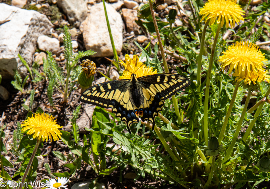
A tiger swallowtail butterfly among the dandelions is just one of those embellishments that assure us that we are here on this trail at exactly the right time of year and that no other weekend could have been as perfect.
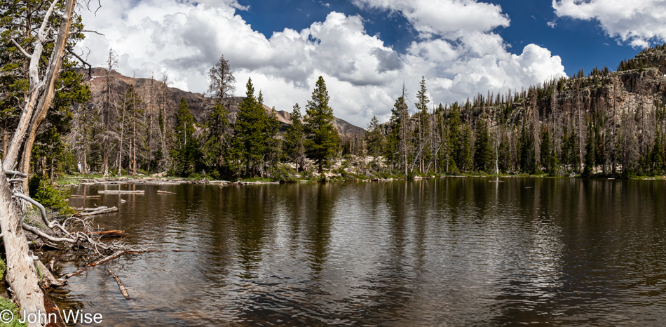
Lucky for us, at a fork in the trail, a young couple heading to Long Lake had a small map with them. They were certain that their trail was to the left and that our way to Cliff Lake could only be on the right. Along the way, we ran into Boy Scouts who were a bit surprised about the trail they were on as it was unfamiliar to them, but we were able to assure them that this was certainly the way to Crystal Lake and Washington beyond that, so they were relieved and happy heading downhill because the trail that had taken them out to Wall Lake (well beyond our destination) had been a lot more strenuous.
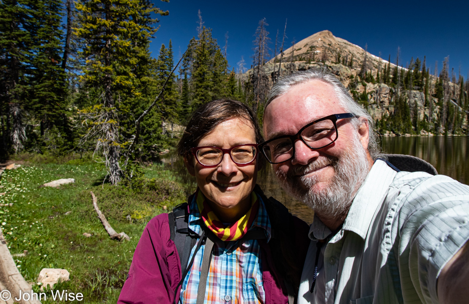
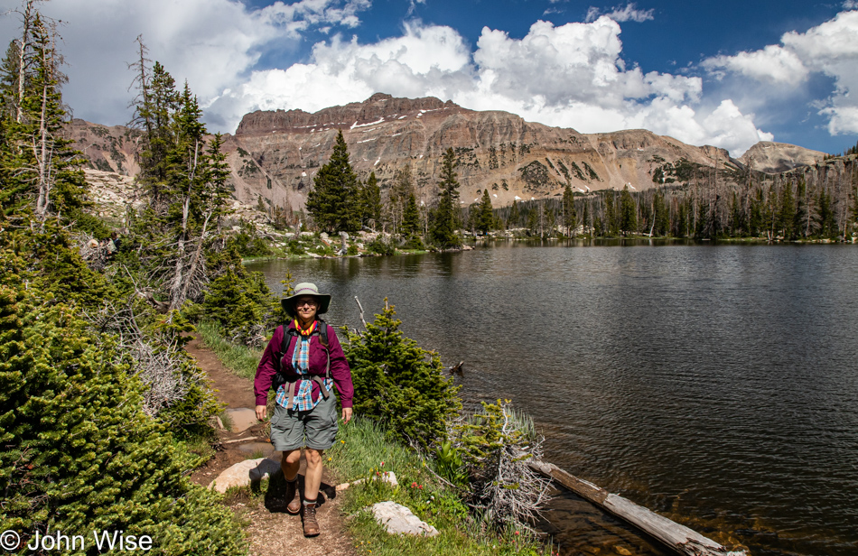
As for hiking up here at 10,100 feet of elevation above sea level (3,078 meters), I felt some very minor lightheadedness and even the occasional ping of a headache, but stopping for a sec and taking a big swallow of water helped me adjust to the altitude and we just kept huffing and puffing along the trail. About this selfie, Caroline asked that I make a better effort to take photos of the two of us as I’ve not posted many selfies in a while. I scrolled back on the blog and saw that it’s true: it’s been since May 26 when I last shared an image of us.
This is the end of the trail as far as our hike is concerned, and from here, we’ll head back to our car and one of those incredible lunches of bologna-and-boiled-egg sandwiches wrapped in lettuce. For those curious, we probably exchanged expressions of love no less than 40 times already today, held hands over a dozen times, stopped for a kiss, and snuggled on the trail more times than what is probably reasonable to normal people. While it’s been said countless times previously here on my blog, we do not, will not, and cannot take any of this for granted. We are well aware of how incredibly fortunate we are to not only explore perfection in delightful places while deeply in love with one another, we have the health, means, and desire to do these things.
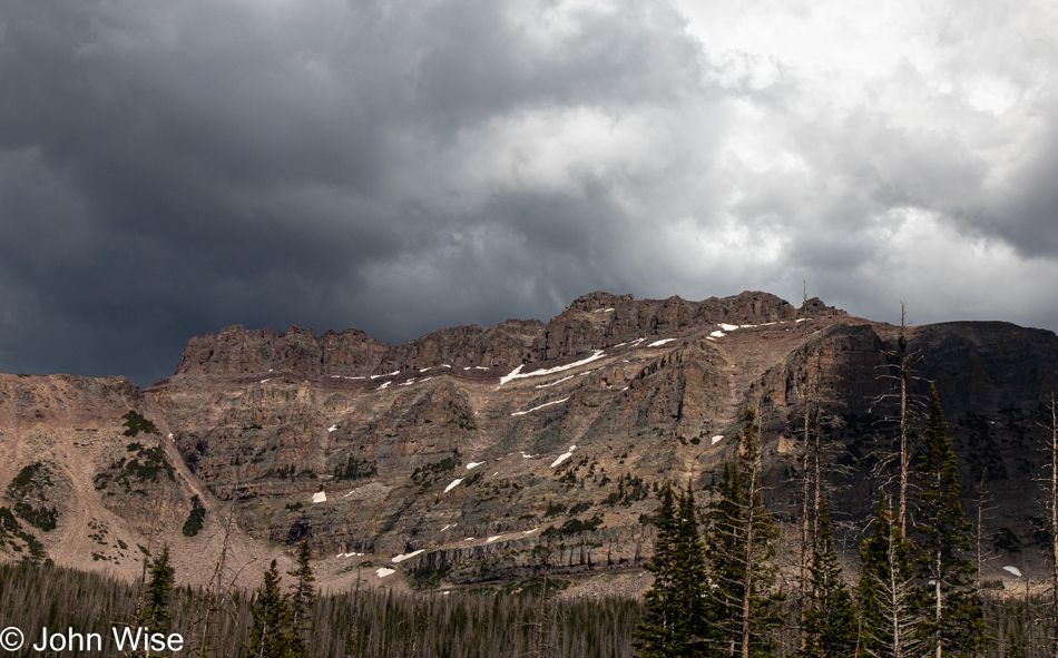
We just had to pull over here on Utah Highway 150 at the Bald Mountain Scenic Overlook because, well, just look.
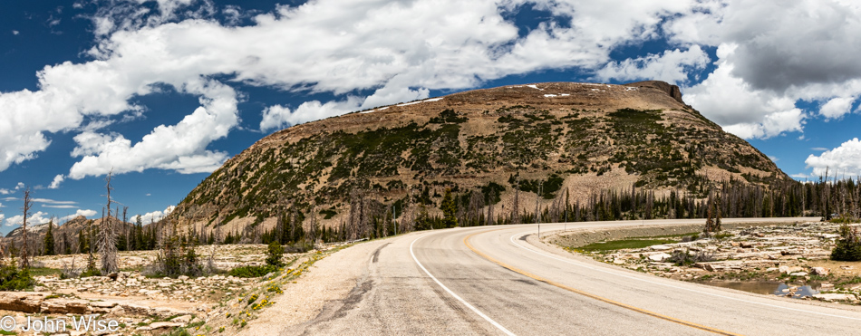
By the way, this is the namesake of this pullout and overlook.
That’s Moosehorn Lake out there, while the tallest peak towards the right is Mount Agassiz, standing at 12,433 feet tall (3,790 meters). Looking again at the Alltrails website, it’s surreal how many trails are spread out across the Uinta-Wasatch-Cache National Forest. Somewhere along the way, we caught someone who told us that they were still having snow flurries up here during the past couple of weeks, so the time of year we can plan for a return will likely be limited to July 1st through early September, but I do hope that maybe in 2023 we’ll make the effort to possibly take some longer hikes and maybe even some camping in the backcountry. Just as I finish typing that, I’m thinking, hey, what about those mosquitoes, Mr. Ambitious?
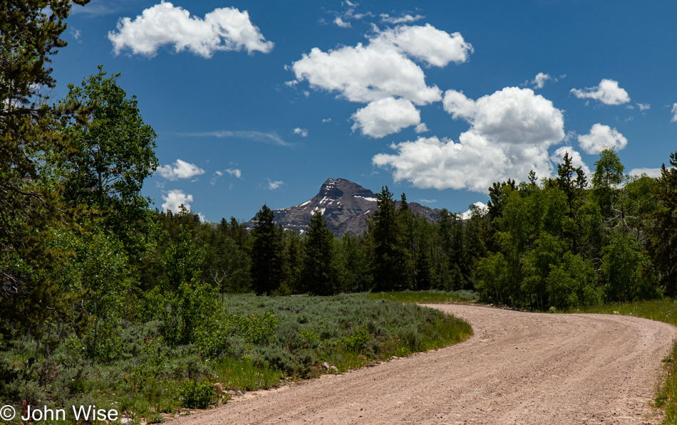
We were driving north without a plan. Maybe we’d make it to Wyoming, but we needn’t do that; we are not out here collecting trophies. A dirt road directing us to Christmas Meadow and the Stillwater Trail, which is part of another trail leading to Ostler Lake, is out here, so we go.
We are excited to make this the second hike of the day; it’s beautiful.
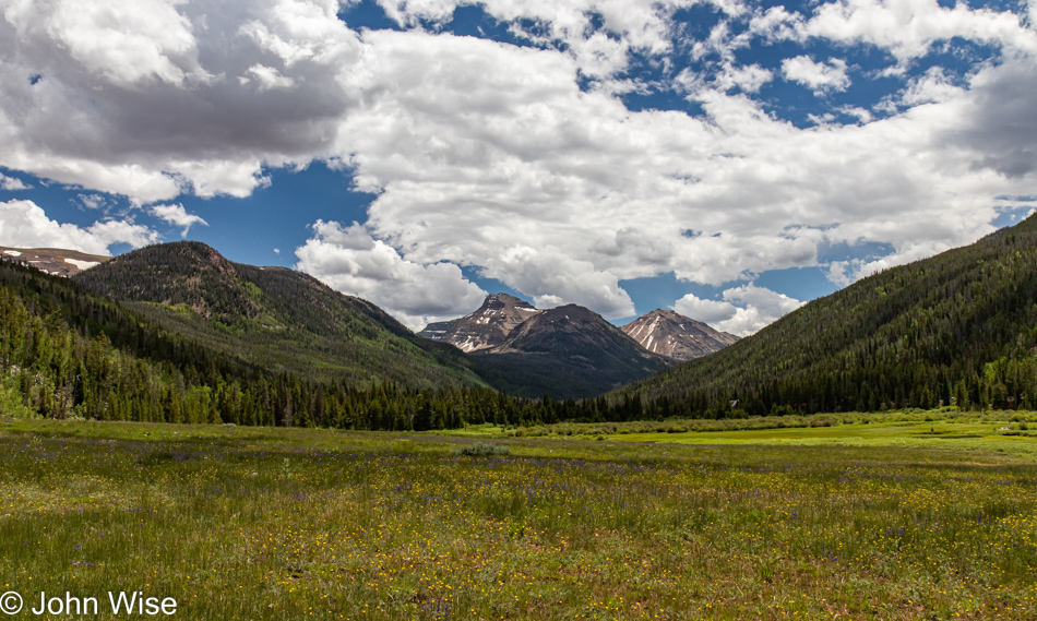
Christmas Meadow looking out at Ostler Peak at 12,718 feet!
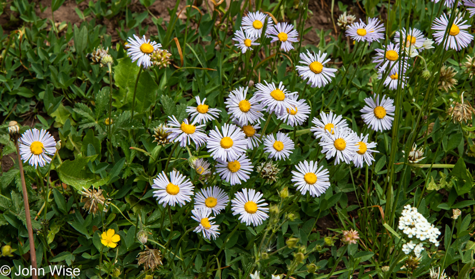
Frost Aster flowers and yes, they are edible while the leaves can be used to make tea.
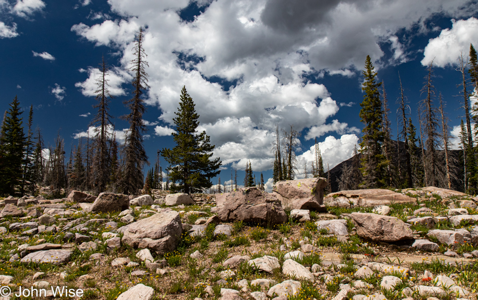
We couldn’t ask for better conditions for a hike. The trail is a long one, but we’ll just go as far as we’re comfortable before turning around.
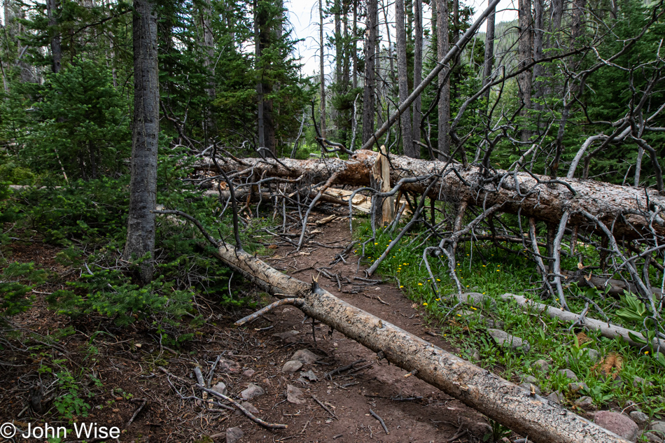
Not 10 minutes later, we hear thunder in the distance, and some dark clouds are coming over the nearby mountains. Then, just 10 minutes after that, we run into this obstacle, hardly insurmountable, but a light sprinkling of rain is starting to fall so we turn around.
After a short nap for me, while the rain passed, we decided to throw caution to the wind and head out on the Ruth Lake Trail for a quick 2-mile hike.
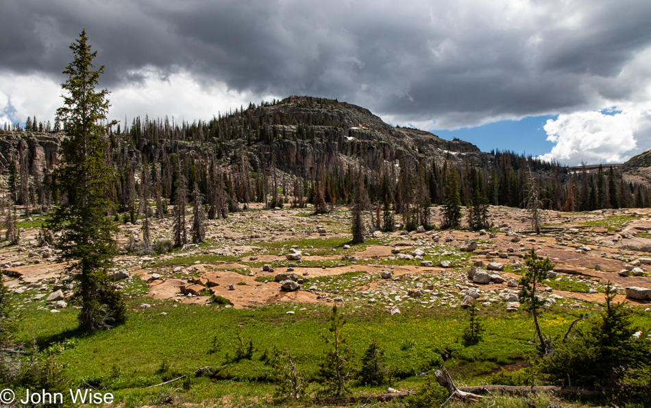
Hayden Peak with the threatening weather still looming on the horizon.
Our timing couldn’t have been any better as blue skies started reappearing. Why we hadn’t considered the chance of wet weather during any of our previous trips this year is beyond my imagination. Not once have we brought umbrellas or our rain jackets on any of our excursions out of Phoenix this year. We obviously have room in the car to simply keep them in the back, but I guess my eternal optimism that the sun will always be shining on us lets me be careless regarding threats of poor weather.
Rocks, mountains, grass, trees, birds, clouds, love, friends, and happiness were all on hand to create a scene that likely holds a lot more intrinsic value to the two people that were on hand at this moment so the photo would forever be embued with qualities that transcend what is actually seen by others.
Nature legitimizes existence; it is the fabric from which we have emerged and from which modern consumer society has tried to alienate us. When we gaze into nature on a beautiful day our sense of self somehow grows larger as though we were blooming like a flower. How lucky are those of us able to plant ourselves in such places and bask in the sun.
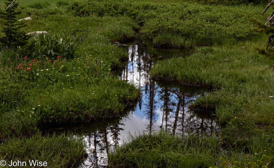
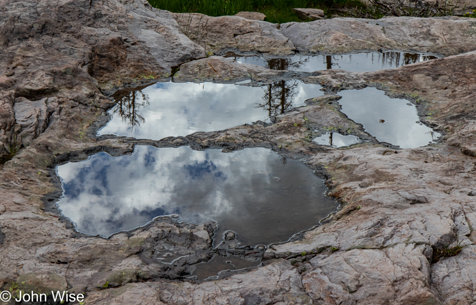
Like this nameless still pond reflecting the world around it, what will you reflect of the world around you? Maybe if you live in the awareness of turmoil and you are surrounding yourself with the chaos of uncertainty and fear, your reflection of that universe will let others know that you are not at peace and that a tempest is raging within.
Again, the parking area was full to capacity, and yet, as is easily seen in these images, we appeared to be out here alone. Maybe instead of seeing the potential for a crowded trail due to the parking situation, I would be better served by getting it in my head that my perceptions heavily influence how my reality is going to play out.
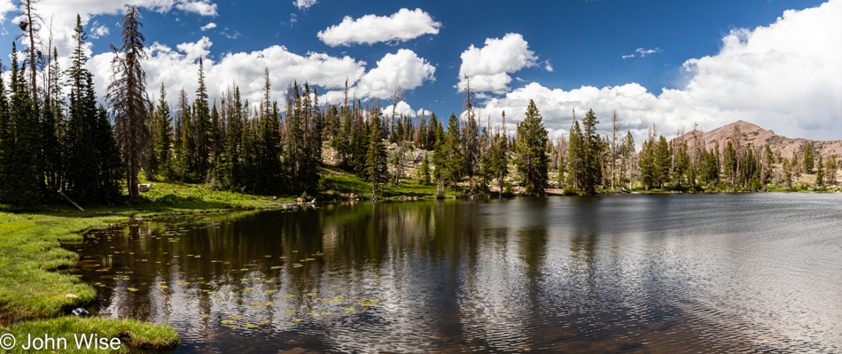
Not just this photo but the one above too is of Ruth Lake that we’ve obviously reached.
All of this was well worth the price of admission, which turned out to be what it always is: you must get yourself out here, make the investment in paying for gas, food, and lodging, and then you’ll be here too, and the better for it.
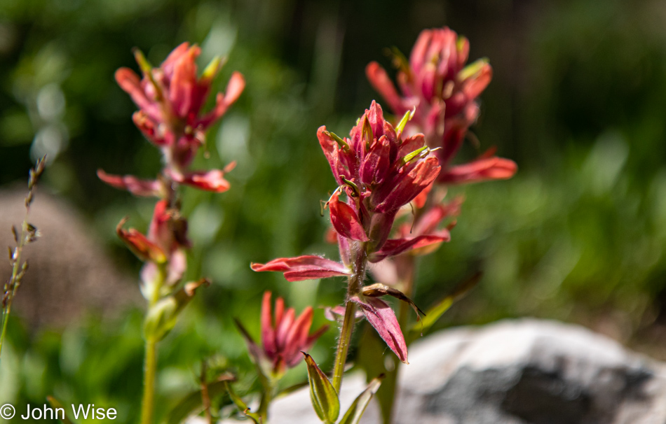
Indian Paint Brush colors the landscape from here to Alaska, or at least this has been our experience.
We are circumnavigating the lake with increasingly sore feet, and while we grow tired, we are not ready to give up on these moments of bliss.
We were just shy of covering 10 miles (almost 16 km) today up here at an elevation of over 10,000 feet (3,000 meters), and at the end of it, after so much strenuous hiking, I found that my chest hurt. I can only attribute this to the increased effort required to oxygenate my blood at this elevation and my lungs working overtime. Considering the alternative is too scary a thought, maybe it’s a good thing I’m visiting a cardiologist at the end of July. The pain persisted through the night but never gave me real concern as the discomfort seemed localized in my sternum where the ribs attach to it which would make sense that it was nothing more than the extra exertion I needed today.
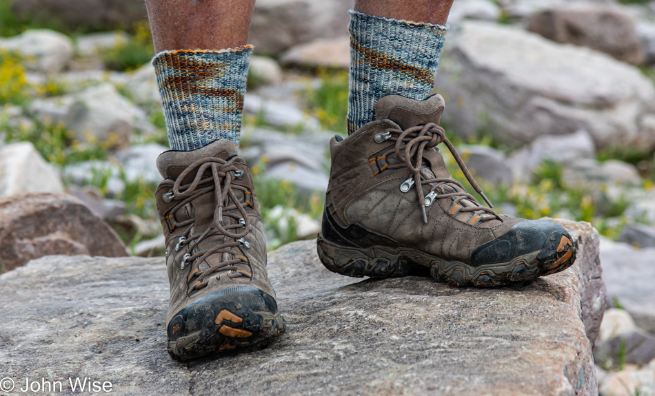
Sunset would be experienced by others; we were too worn down to care a lick about finding a spectacular location to capture our setting sun; all we wanted was to return to our room and pretend it wasn’t so damned light out at 7:30 at night. In its stead, I present you with the newest addition to my collection of handmade socks. This pair arrives once again from the loving hands of Caroline using yarn from Seaside Yarn & Fiber we purchased on a previous trip up on the Oregon coast.
Once back in the car, we decided to celebrate our grand day out with dinner in a restaurant. Online resources pointed us to a fancy-looking restaurant with good reviews, but their parking lot was deserted – a bad sign on a Friday. Luckily, on our way in, we passed a couple on the way out and, uncharacteristically, asked them for their opinion. We soon found out they thought the place was mediocre and overpriced and instead told us to try the Mirror Lake Diner in Kamas. The diner was just down the street and busy – a good sign! Our dinner was delicious and the perfect end to the day.