America – Day 5

Hopewell Culture National Historical Park in Chillicothe, Ohio

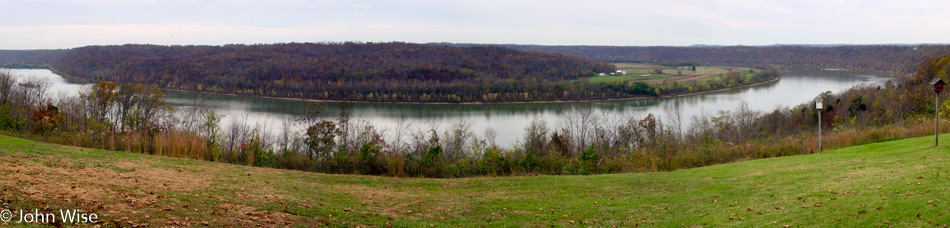
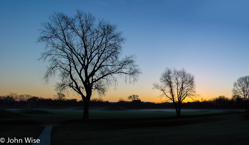
We are 2,361 miles from home, and it’s 34 degrees out this morning with ice on our windows. Our first stop is at the Hopewell Cultural Historic Park which features 23 mounds built almost 2,000 years ago right here in what would become Chillicothe, Ohio. The Hopewell people thrived in this area from about 200 BC to AD 500. In the desert, it’s a rare day that we see fog, but this morning, there’s a thin layer over the mounds and a bit more drifting over the nearby Scioto River.

Fog out over the farm near the Scioto river in Ohio

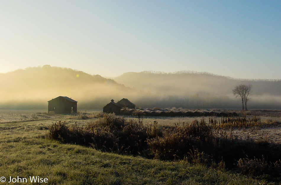
These are the kind of views we live for, well, these and a million others. We’re not far from Laurelville, where we met and talked briefly with a guy who collects hornet nests as a hobby. We’d never seen one before and found them quite interesting, but why someone would collect them, we didn’t know. He also makes apple cider, which is why stopped in the first place. Along the way, we dipped in at Hocking Hills State Park for a pit stop, unaware of what amazing spectacles were hidden in the park. Someday, we must return to Hocking Hills State Park: MUST!

Caroline Wise and John Wise at the Nelsonville Brick Plant in Nelsonville, Ohio

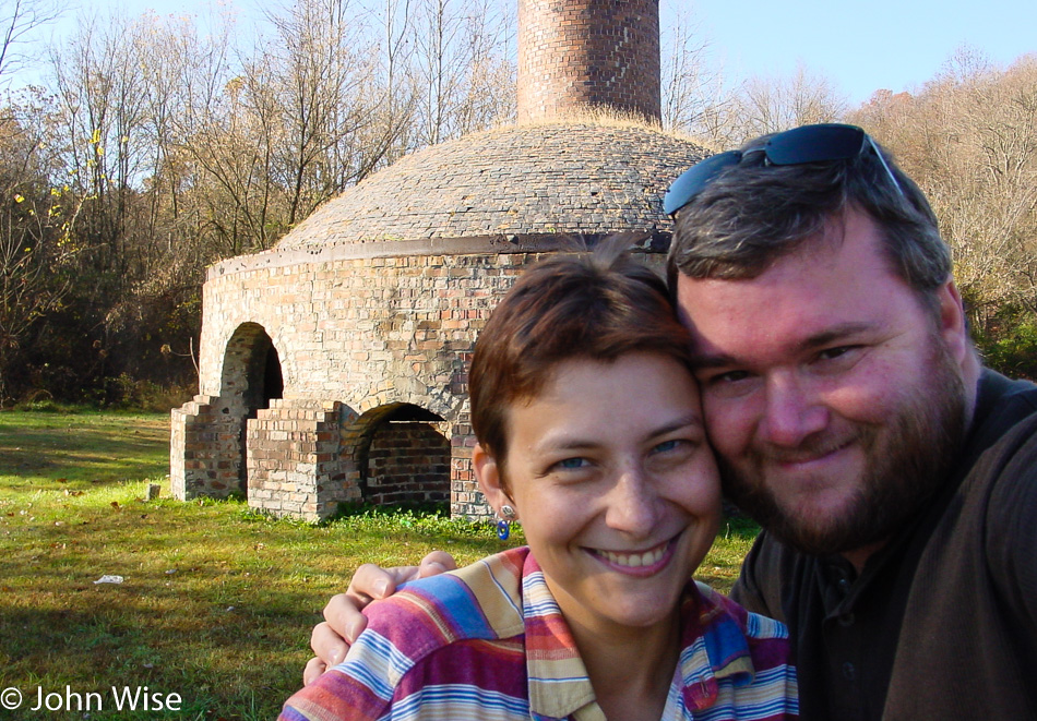
Caroline and I agree this is one of the worst photos we’ve ever taken of ourselves, but it’s the only one we have with the kiln while visiting the Nelsonville Brick Plant. This place was built back in 1877 and closed in 1940.

Downtown Nelsonville, Ohio

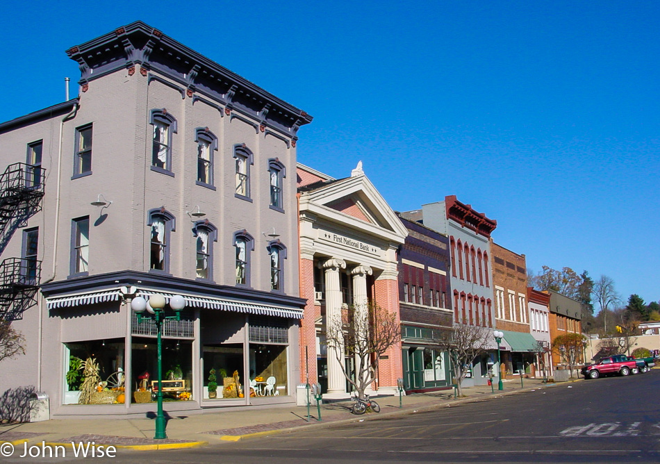
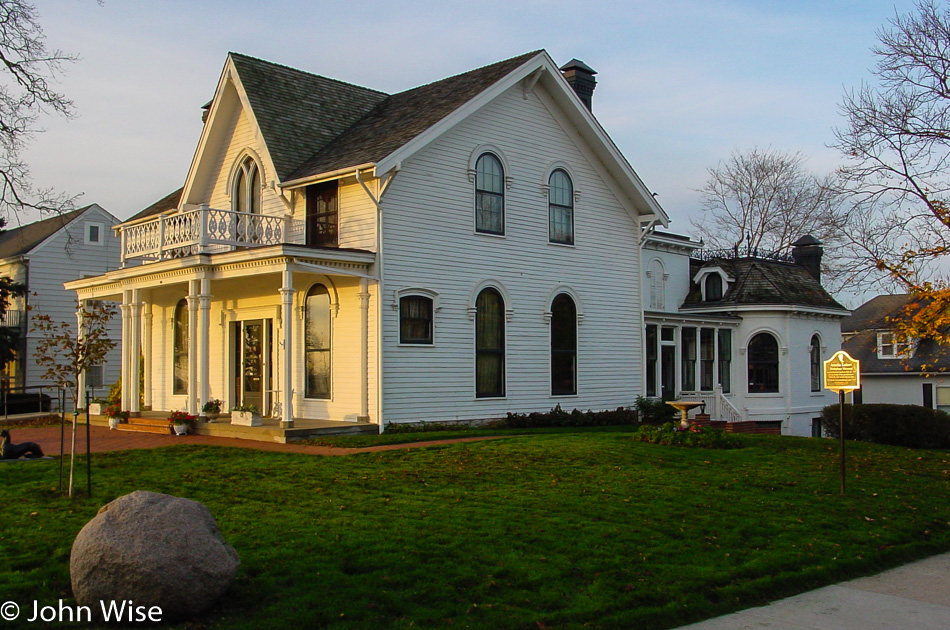
I feel like we’ve landed on the real Main Street America, seeing downtown Nelsonville.

Waterfalls on the Muskingum river in McConnelsville, Ohio

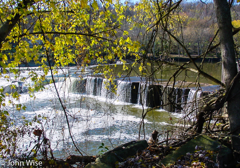
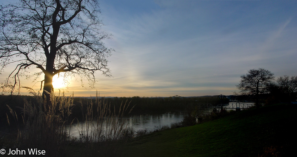
This is part of the McConnelsville, Ohio, lock and dam project on the Muskingum River. Back in another age, this place was plied by steamboats. Out on the water, away from the falls, fishermen in small boats can be seen enjoying the day, hopefully as much as we are.

Roadside somewhere in Ohio

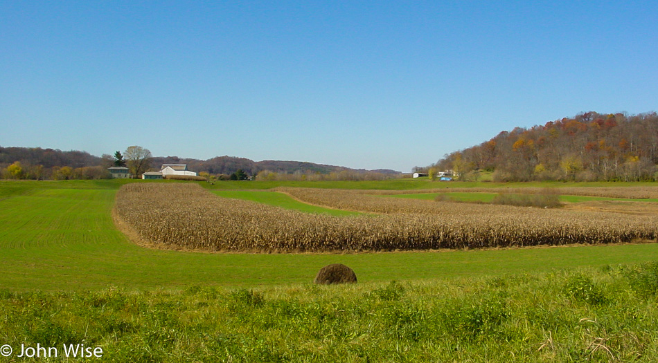
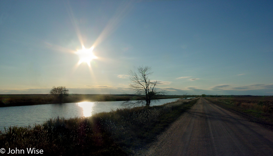
This photo was taken somewhere along State Route 60. We are traveling roughly south-easterly toward Marietta, Ohio.

A barn with "Mail Pouch Tobacco" emblazoned on it just north of Marietta, Ohio on State Route 60

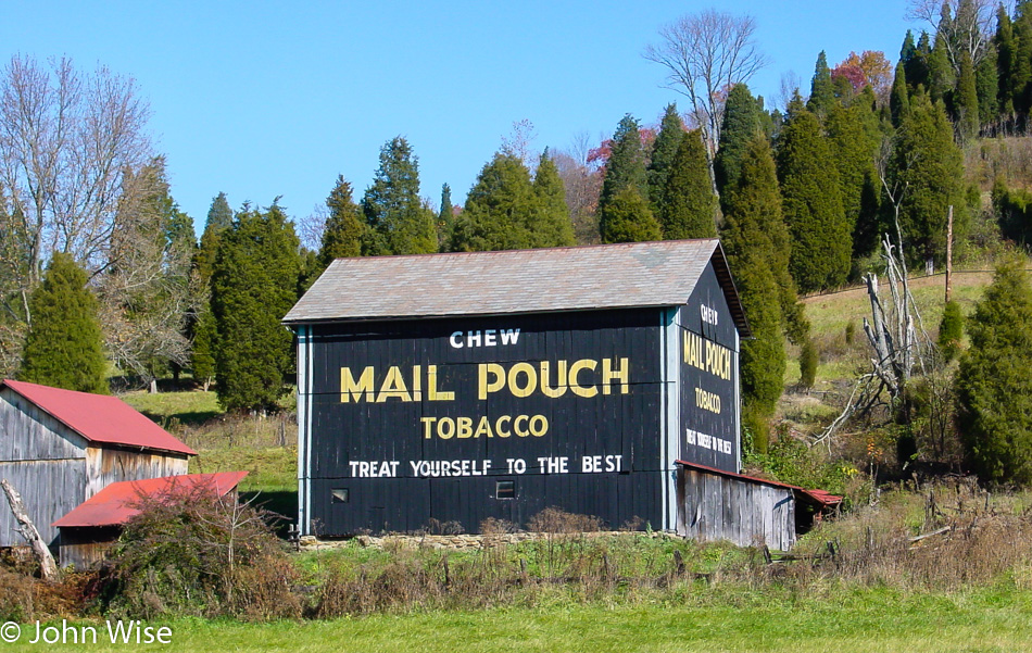
This was our first encounter with the “Mail Pouch Tobacco” brand. Turns out that this or a slight variation is emblazoned on barns throughout the area. This one was just north of Marietta, Ohio, as seen from State Route 60.

Caroline Wise in the wheelhouse of a steamboat in Marietta, Ohio

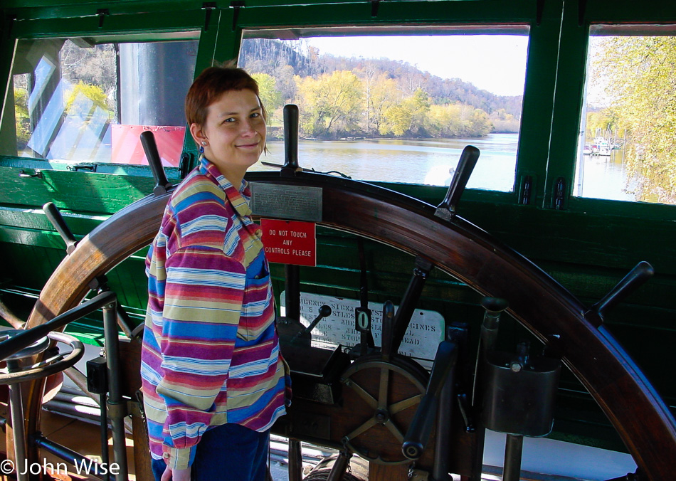
Notice the strict pose from the German after reading the sign, “DO NOT TOUCH ANY CONTROLS PLEASE.” Caroline was not going to be accused of violating international law and being a bad steward of travelers’ diplomacy by acting out of line. This was taken while we were visiting an old steamboat at the Ohio River Museum in Marietta, Ohio.

Fish in the Muskingame river in Marietta, Ohio

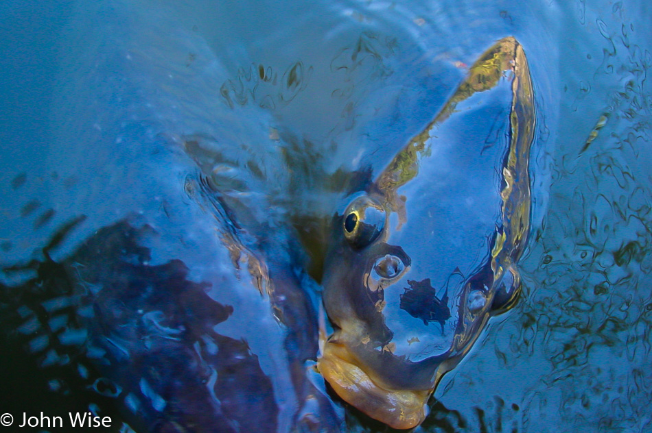
As an added attraction, you get to feed carp with bread next to the boat. They get downright greedy! Right after I took this photo, the fish asked, “Why you take my photo, human?”

Knowlton Covered Bridge in Monroe County, Ohio

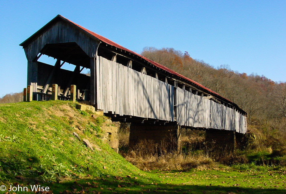
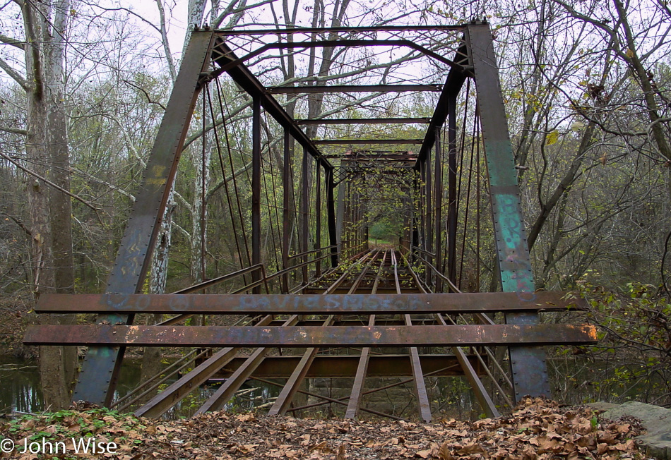
We took quite a bit of quality time to explore this little corner where the Knowlton Covered Bridge still stands. It was built back in 1887, is 192 feet long, and is only open to pedestrians.

Welcome to West Virginia state sign over the highway

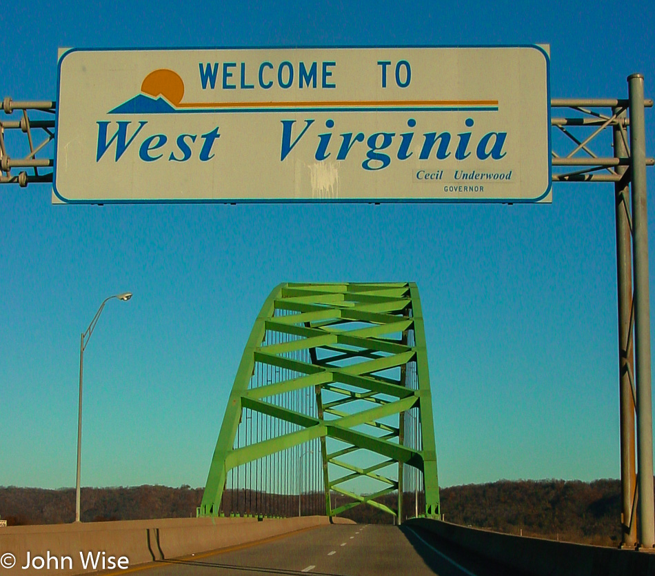
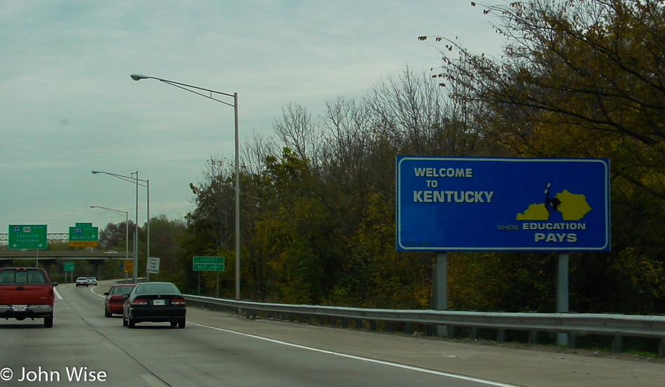
Another one of these locations where we won’t be stopping for a selfie in front of the “Welcome To Our State” signs. This sign even has its own cool bridge, so we get over the disappointment quickly as we drive under this big green arch. For the sake of knowing precisely where we are at this juncture, we crossed the bridge on State Route 2 between Dilles Bottom, Ohio, and Moundsville, West Virginia. On the radio, we are listening to some bluegrass from the Jolly Brothers.

Entering Pennsylvania

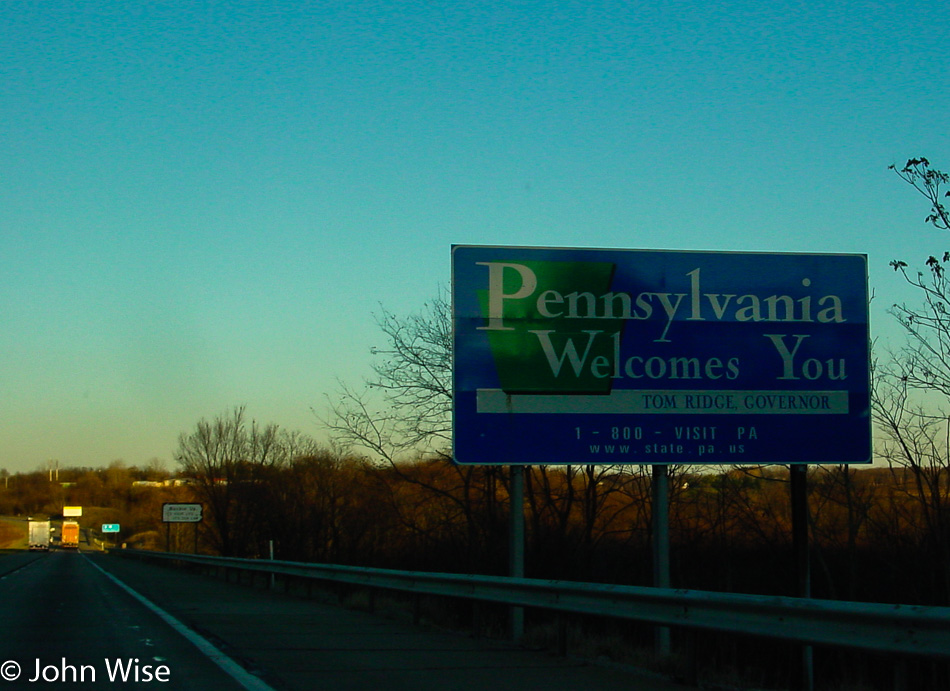
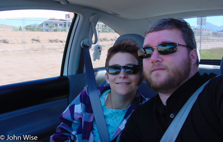
More welcoming from the front seat of our speeding car. All state borders should have a pullout for selfies. Vote for it. Welcome to Pennsylvania.

Pittsburgh, Pennsylvania at dusk

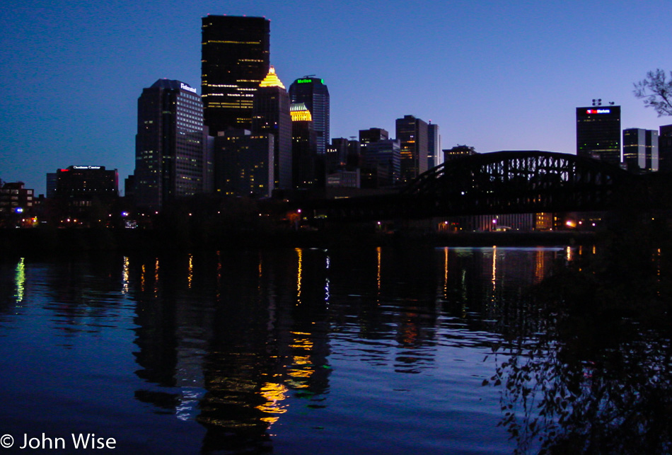
Pittsburgh at dusk as we are heading for parts north of here.

Selfie of Caroline Wise and John Wise in front of the Welcome to New York state sign

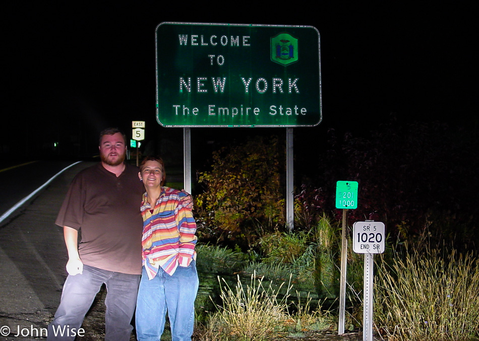
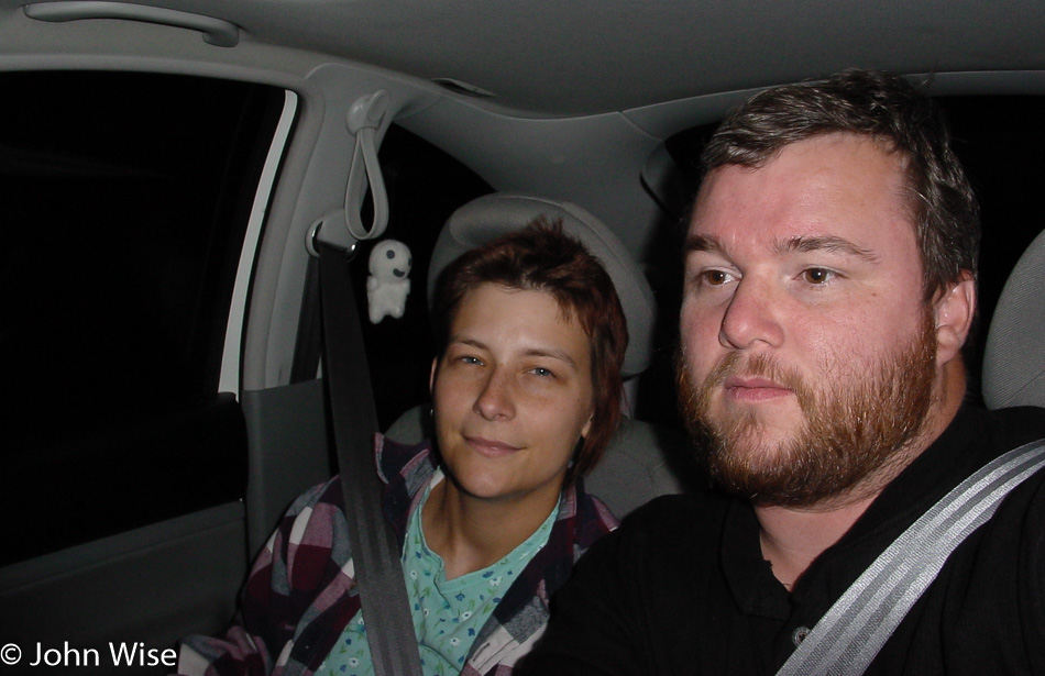
Five days to make it to New York. It must be due to my being born here that I was drawn to get here sooner rather than later.

Dunkirk, New York

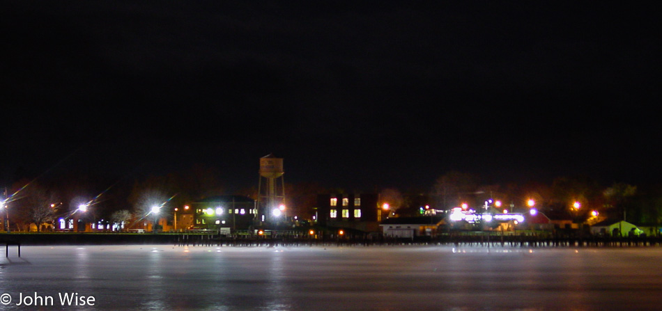
Before we got our first look at Lake Erie here in Dunkirk, New York, we stopped in Ripley for dinner at the Plummer’s Tavern. We tried the lemon fish with coleslaw and would return if we were to travel up this way again.

The giant doll in front of Valvo's Candies in Silver Creek, New York

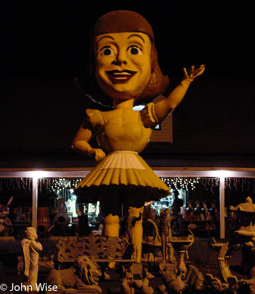
Not exactly the kind of thing you might want to see when you’ve been out on the road for the better part of 16 hours, but there she stood, “The killer doll girl from the 50s – Dolly Dimples.” Not to besmirch this almost famous roadside attraction, but it did make us ask, WTF is this? Turns out she’s connected to Valvo’s Candies in Silver Creek, New York, and yes, her name really is Dolly Dimples. The next stop is Buffalo, New York – my birthplace.

America – Day 4

Lincoln Boyhood National Monument in Lincoln City, Indiana

On a late fall day, this was how we saw the Lincoln Boyhood National Memorial in Indiana. During our visit, we were the only visitors milling about the cabin, strange for it being a Saturday, though it is still early in the day. There were a couple of chickens wandering about, a couple of cardinals, a blue jay, a woodpecker, and more squirrels than we could shake a stick at. Ranger Zimmermann gave a great talk about the history of the area and Lincoln’s time here.

Caroline Wise and John Wise visiting Santa Claus in Indiana

I just had to stop for this selfie in front of the Santa Claus, Indiana, sign to commemorate the day I peed in Santa Claus. Yep, that’s exactly what I did which is why Caroline has this smirk of disbelief that I would be that juvenile. In my defense, I can only say that being a man, I’m inclined to acts of stupidity that are beyond my control or better sense. Does anyone know if there’s a city in America called Batman?

Caroline Wise and John Wise in front of the Welcome to Indiana state sign

We don’t always get photos where we’d like to due to the time of day, being on a road that isn’t conducive to pulling over, or the sign is missing. So was the case last night as we passed from Missouri into Indiana and couldn’t find the sign in the dark, so here we are, leaving Indiana for Kentucky or maybe Indiana.

Roadside barn in Kentucky

We’ve been zigzagging across the Ohio River, crossing from Cannelton, Indiana, to Hawesville, Kentucky. Somehow, we got to the other side and found this old barn or farmhouse just outside Rome, Indiana. In Derby, while still in Indiana, we stopped to gaze once again upon the Ohio River and then continued to Leavenworth in Indiana as opposed to the one in Kansas. While in Leavenworth, we stopped at a roadside orchard stand and bought some apples, peanuts, and sorghum.

Horseshoe overlook in Leavenworth, Indiana

While in Leavenworth we also visited this horseshoe overlook of the Ohio River with Kentucky just across the way.

Old decrepit bridge over the Blue river in Indiana

This old decrepit bridge just barely stands over the Blue River off the Ohio River Scenic Byway.

Kentucky state sign from the freeway entering Louisville, Kentucky

Trying to avoid main roads and freeways doesn’t always work out, and this once again demonstrates the occasional difficulty in obtaining selfies in front of state signs. After our slow, meandering drive along the Ohio River, it was time to make tracks if we were going to make our destination located further north. Okay, we had no real idea of where we were going, but we weren’t ready to quit, so we just kept driving. I wanted to stop for a photo of me in front of Big Bone Lick State Park just west of the town called Beaverlick, but I wasn’t willing to make the detour; now I wish I had.

Millie's Place in Cincinnati, Ohio

I’d like to tell you that we are suckers for soul food, but the truth is we are foodies and want to try everything. A pit stop at a Starbucks brought us into conversation with a young lady who recommended Millie’s Place here in Cincinnati, Ohio. We left this joint smacking our lips, uttering yum, yum, yum. On leaving Cincinnati, we took Highway 50, which passes through the Mariemont neighborhood; we took note that this is an upscale section of town should we ever need to visit again. Down the 50, we pass through Bainbridge, which is home to the first dental school in America, and of course, the museum would be closed as we were in town. The next stop is the Chillicothe Inn over in Chillicothe, Ohio. Wow, we were booked into room 23 here on Highway 23.

America – Day 3

Bathtub fixture at cheap motel in Atchison, Kansas

We got into Atchison, Kansas, late last night and grabbed the first cheap motel room we could check into. When we woke shortly after 6:00 a.m., we discovered that our shower/bathtub had barnacles growing on a fixture; this was a first and a memory that will always stick with us on the list of lodging atrocities we would encounter on our many trips where cost played a bigger role than comfort or cleanliness.

Amelia Earhart Birthplace Museum in Atchison, Kansas

Guess what’s open at 7:30 in the morning? Not the Amelia Earhart Birthplace Museum. Take a picture to remind us that if we are to visit this corner of America again, we’ll stop in. We did have a nice visit with a ginger cat that meandered over to us for a rub.

Missouri river at dawn in Atchison, Kansas

Our first glimpse of the Missouri River shortly after dawn. We’ll be heading north this morning.

Osange Orange along the road north of Atchison, Kansas

When we spotted this mutant baseball on the side of the road, it screamed out for attention. Neither Caroline nor I had ever seen one of these and could not make heads or tails out of what it might be. If only mobile internet existed, we’d be able to search for what it is, but we don’t even have a GPS or a cell phone. We do have a paper map but it doesn’t have a roadside guide to strange plants or fruits find on the way to your destination. It turns out that this super sticky grapefruit-sized ball of latex that was almost impossible to open is an Osage orange.

Caroline Wise standing in front of the Jesse James Home in St. Joseph, Missouri

Guess what’s open at 8:45 in the morning? Not the Jesse James Home. Well, at least we’re getting a good orientation of what’s where here on our cross-country road trip. We see the Psychiatric Museum as we are passing through St. Joseph, Missouri, and make note that we should investigate if it’s worth a visit. What brought us to St. Joe in the first place was that an old friend of ours named Mark Shimer grew up here hating it, seemed like a good enough reason to drive through.

Truman Home visitors center in Independence, Missouri

Disillusioned with St. Joseph and only able to find a McDonald’s and the stupid Egg McMuffin available for breakfast, we leave disheartened. Maybe a visit to the closed Psychiatric Museum could have helped alleviate the anguish, but they were as open as everything else we were trying to visit way too early in the day. We turned the car south and headed for the Missouri River, figuring that might be a scenic route. On the way, we spot the signs directing us to Independence, Missouri, and the many homes of President Truman. He seems to have moved around a lot as a youngster. Now, with something finally open, we opt not to go on the tour as though we started this journey with the idea of not being beholden to the clock; something is prodding us to go east. So we leave.

The Missouri river in Missouri

For hours we do our best to trace a path along the Missouri River and occasionally are rewarded with great views.

Rhineland, Missouri along the Missouri river

This is a tiny village of 217 acres and, according to the 2000 census, 176 people. It is called Rhineland, and we had to stop because of Germany. There were no wurst stands, no wine, no autobahn. It seems like they simply borrowed the name and forgot to bring the culture. Not even a bit of good bread.

A barn along the Missouri river somewhere in Missouri

A cool barn that appears to be on a fertile floodplain of the Missouri River. Probably not a great place to hang out during floods.

Caroline Wise and John Wise stopping for a selfie in front of a Lewis & Clark trail sign in Missouri

This is the first time EVER that Caroline and I stopped at a sign designating that we were on the Lewis and Clark Trail, but it won’t be the last. Hmmm, I wonder if my beard will one day turn gray?

John Wise at the Missouri Meerschaum Company

Guess what’s open at 4:30 in the afternoon? Not the Missouri Meerschaum Company. I wanted a corncob pipe, and I wanted one bad because I had some stuff to smoke and only a corncob pipe was going to do. Instead, I have to leave empty-handed. While we found some corncob pipes somewhere else in Washington, Missouri, I couldn’t be certain that they weren’t cheap Chinese knockoffs. Damn it.

Gateway Arch in St. Louis, Missouri

We’ve reached the Gateway Arch in St. Louis. Sure, it would probably photograph better in the middle of the day while the sun glistens on the metal frame, but today, in the middle of America, nothing is open. Hey, how about a ride up to the viewing platform in the Arch? Oh yeah, it just closed for the day.

Caroline Wise and John Wise in front of Gateway Arch in St. Louis, Missouri

This was the last time I ever let someone else take my photo instead of just shooting a selfie. Do I look fat here? From the Arch, we headed over to a vegetarian place operated by some devotees of Hare Krishna called Govinda’s. Great food and a nice environment for a place without meat. In case you didn’t know, Caroline is in a vegetarian phase, and after some initial struggle from me, we get along with me forsaking the flesh from time to time. With a burst of energy, we pointed the car towards Indiana and took off. The next stop was the Amoco Motel in Haubstadt, Indiana. Only our third day out, and we are now almost 2000 miles from home.

America – Day 2

Texas border sign on Highway 287

Sure, it’s a dismal photo, but it’s all we got. By this time, we’d already been on the road for nearly two hours. This is looking south back into Texas on Highway 287 just north of Kerrick, Texas. Traveling this route involved a minor bit of backtracking, but we saw Rita Blanca National Grasslands on our map, and as we’d never seen such a thing, we took the detour. As we don’t have a fixed destination or a time when we need to return to Arizona, our opinion is we can go anywhere and do anything.

Welcome to Oklahoma on highway 287 with Caroline Wise and John Wise

Staring into the sun has never been an ideal situation for Caroline, and so after one tries to get this selfie in front of the Welcome to Oklahoma state sign, I had to give up. This was our first visit to the Great Plains, and for that matter, it would be our first time together anywhere east of here for the rest of the trip.

Grasslands across Oklahoma

We were never really sure where the “Grasslands” started and finished as most everything out here was flat and brown. The color of the landscape makes sense because it is well after summer and quickly approaching winter. This kind of flat expanse is something new to our eyes. If memory serves us, this is State Highway 171 traveling flat north.

Kansas state sign near Elkhart, Kansas on highway 56 with Caroline Wise and John Wise

Crossing into Kansas just south of Elkhart on Highway 56, staying away from the big roads.

Small shop in rural Kansas

It struck us that there is little out here besides grain silos, barns, and homes scattered about, and then we come upon this little “Beer To Go” shop with a drive-up window that doesn’t appear to have any way to drive close to. Or at least nobody has directed their vehicle there for a while. We’re still on the 56, heading northeast through Rolla, Kansas.

Moscow, Kansas

A standout city, this place is called Moscow, Kansas. It was here while getting gas ($1.63 a gallon) that an elderly guy approached me, curious about our Beetle. He’d not seen one yet in person and so he inquired about how we liked it. I assured him that it was amazing (I’d later grow to hate the thing). He asked if we were visiting family, and I answered no. He pointed out how far away the main highway was, and I agreed that it was a good place for it to be. Then he asked our ages, “Thirty-seven and thirty-two,” to which he said in near amazement how lucky we were to be so young and on such a big adventure. Those words stuck with me the rest of the trip, and little did I know then that they would travel with me for years into my future.

Edwards County Historical Museum And Sod House in Kinsley, Kansas

From time to time, we’ll take photos of places to act as reminders that we wanted to visit but didn’t have time or the place was closed while we were in the area. The Edwards County Sod House & Museum in Kinsley, Kansas, is one of those places. Note: Eighteen years later, we still haven’t made it back here.

Fort Larned National Historic Site in Larned, Kansas

We made a brief stop in Dodge City to visit the Boothill Museum but felt it was too expensive for what we saw. On the way out of Dodge, I had the “Epiphany Burrito,” which may have been the best burrito I’ve ever had. Back on the road, we took another break to visit the Fort Larned National Historic Site in Larned, Kansas. If there is an element of history to be learned about at any location we are traveling by, then more often than not, we feel compelled to stop. By the way, when we essentially pass through somewhere like Dodge City, the reasoning is if we can easily visit by catching a plane into a local airport and spend some quality time exploring more of what a larger city has to offer, we are probably using our time smarter by seeing the outlying areas.

Somewhere in Kansas

This is our last daylight photo worth sharing; it’s of the Cheyenne Bottoms Wildlife Area. Trying to keep things rural and off larger roads occasionally takes us down dirt roads with the hope of getting a truly alternative view. I’d say we scored with this route, as I don’t believe sunset could have been any better than right at this moment. A half-hour later, we were passing through the Quivera Wildlife Refuge, but we weren’t ready to call it a day and decided to keep on driving. We ultimately made it to Atchison, Kansas, about 250 miles up the road.

America – Day 1

Caroline Wise and John Wise on their first cross country road trip to see America

Early in the day, at 10:00 a.m., in our little turbo VW Beetle, Caroline and I were venturing out intending to drive to the East Coast. We had a very loose agenda of where we were going, with the main objective being that we would avoid main highways. This first day out was meant to put as much distance as possible between us and Arizona. This photo was snapped near 64th Street and Bell Road next to the canal on our way from Scottsdale to the I-17 in Phoenix, where we’ll head north toward Flagstaff.

Caroline Wise and John Wise on their first cross country road trip to see America

In Flagstaff, we turned right and started our trek east on Interstate 40. Midday we crossed into New Mexico and Mountain Standard Time. Stopped in Albuquerque at Little Anita’s Mexican Restaurant and kept on going. After nearly 12 hours and over 730 miles of non-stop driving, we were pulling into Amarillo, Texas. The real adventure begins tomorrow.